
All Activity
- Past hour
-
49F and clear. Nice night.
-

April 2024 Weather in the PNW
Sunriver Snow Zone replied to Tyler Mode's topic in West of the Rockies
00z GFS gives me a foot of snow, ITTTTTSSSS COMIIIINGGG!! (I refuse to look at the kuchera map).thumb.png.db394dec03f2da22c396f13216d7e450.png)
-
I'll send you my summons then
- Today
-
5. I’d have to read the book to see if and how much I agreed with it, and if it is being summarized accurately and representatively above.
-
I like a couple sub zeros a year when possible to know i'm alive, also a couple triple digits. Spokane ideal.
-
Pretty nice day. Cool start, then sunshine and somewhat hazy skies with some high clouds at times. 69/38 spread. One more well above average day tomorrow before a cooler and wetter pattern moves in for at least a little while.
-
Agree.
-

West Coast Sports Talk and Other Banter
Front Ranger replied to Anti Marine Layer's topic in West of the Rockies
Nuggets are so fun to watch. Legends. -
 We drove to the Royals Orioles game on Sunday (go O's!). And there was quite few dry areas between here and kc.. much wetter here thankfully. But looks like we all get in on it soon!
 -
Your climate seems like it would be heaven for Jim.
-
 65 F was the high today for Fullerton Airport. BELOW NORMAL for January. However if the eddy keeps spinning and spinning and spinning the ocean may start to warm up.
 -
It has ALREADY spread into Riverside. Probably a new record given the moderate marine layer depth.
-
For me... that is the reason I couldn't live there.
-
April 2024 Weather in the PNW
Sunriver Snow Zone replied to Tyler Mode's topic in West of the Rockies
Down to 54 now, 67/16 day!!! One of the reasons I live here, a nice comfortable temperature at day this time of year, and at night it gets colder than what is often the coldest temp of the year in Seattle. Question for the stat geeks,how often does Seattle (or anywhere else in the PS/WV) get to 16 degrees or colder? I would guess maybe every half a decade or so...? -
Even though I cannot see my neighbors from my property I can sure hear them ALL currently mowing! It’s a unison of zero turn mowers from the sounds of it with their unique hum. My neighbors definitely know it’s coming!
-
 This is the part of the pattern that can put a dent in the ongoing drought and will likely produce alot of damaging storms. Here's some thought from Gary Lezak as this is by far the most exciting stretch of weather in this years pattern and he thinks 3-5 inches of rain over the next 10 day is certainly possible for the KC area. Weather 2020 Well, here we are almost 45-days after the strongest and most deadly severe weather outbreak in this year's LRC, March 12-14, and around 135 days after the other big winter outbreak in this part of the LRC, December 9th. Gary Lezak @glezak Do you remember this day in the previous cycle? 3 people were killed in western Ohio. This part of the pattern is cycling back through, one of our signature long-range predictions, in the next six days! If you know the LRC, then you know it is due around 4/28
 -
no but it presents a risk of turning purple and paisley
-
Seems silly. 60s with a low dewpoint is not stressful for anyone at any time. People live in that temperature indoors all winter. So when it gets to 45 in Minneapolis in February its a heat risk?
-
The drizzlefest has begun.
-
2 months from now it wouldn’t, though. Climatology is factored in. For instance, the first hot pattern of summer is often harder on the general population, since people aren’t acclimated yet.
-
It was 61 at SEA today which is normal. Dewpoint was in the 30s and there was decent north wind. Probably felt a little chilly there. Its show mid to upper 60s tomorrow. If that qualifies for heat risk then the map will be bright red everywhere all summer.
-
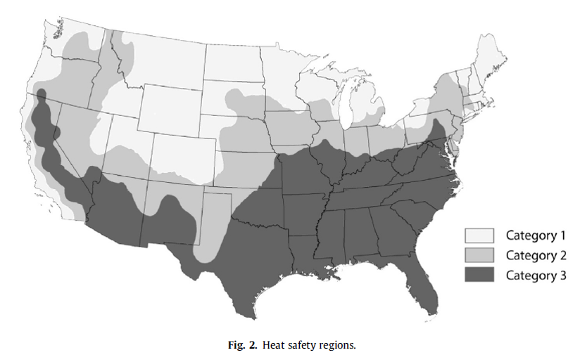
I’ve also heard that a heavier emphasis will be placed on WBGT (wet bulb globe temperature) w/rt heat headlines in the future. It is a better measure than heat index. Thresholds will vary by region, of course. Criteria in SE US/Desert SW will be different than the PNW, for instance.
-

West Coast Sports Talk and Other Banter
T-Town replied to Anti Marine Layer's topic in West of the Rockies
-
Yeah basically it’s calculated with respect to each locations’ climatology (in addition to factors such as duration, diurnal cycle, and parameterization to extrapolate dewpoint, etc.
-
 I think we may have that chance coming.

.png.adef18d54aee895f2fa17d13a1f5298a.png)


