
Leaderboard


Popular Content
Showing content with the highest reputation on 04/15/18 in Posts
-
Here’s another interesting stat Green Bay is now at 57.4 total for the season as of 8 AM By month: Nov: 0.6 Dec: 12.0 Jan: 5.1 Feb: 6.7 Mar: 7.0 Apr: 26.0 More snow in April than Nov/Dec/Jan/Feb combined6 points
-
27” reported in Weston, WI near Wausau. Absolutely incredible5 points
-
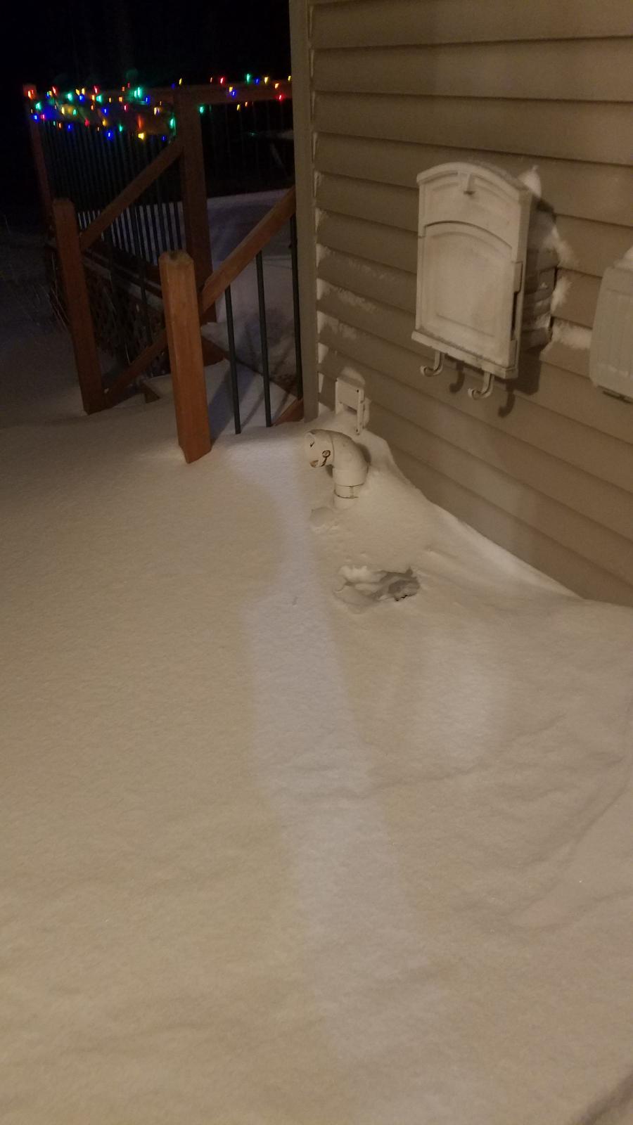
Snow took a little break this morning but is back snowing hard again. Furnace vents were covered this morning so those needed dug out before CO poisoning was an issue. Drifts well over 3 feet in spots. Churches, taverns, stores, darn near everything is closed. It's been a long time since i've seen snow like this. We might eclipse Dec-Feb snow totals in a weekend.

 5 points
 -
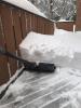
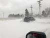
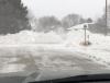
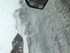
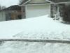
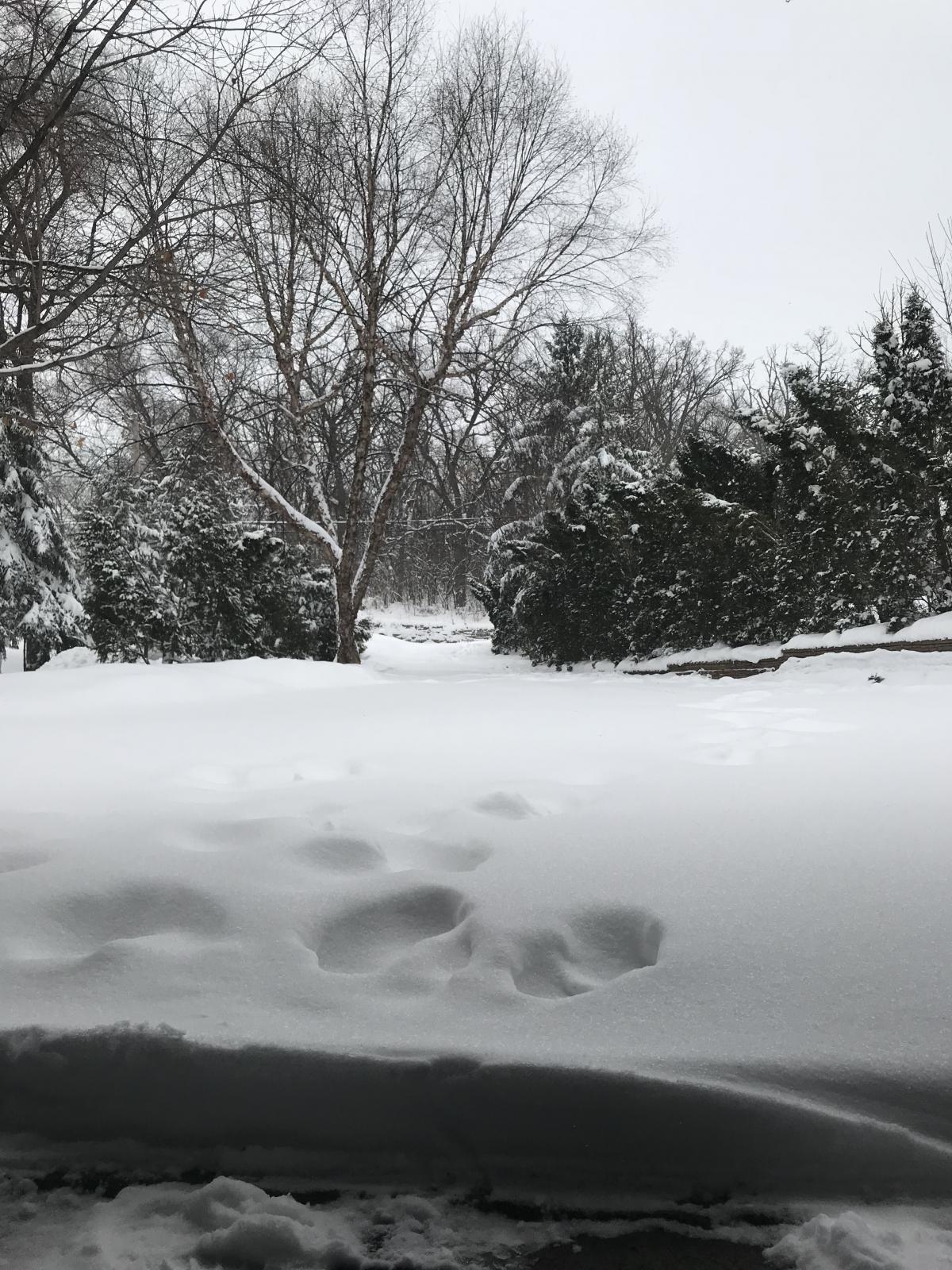
A few more pics during cleanup. Took me over an hour to clear the driveway even with the snowblower. It’s already covered again. Some businesses decided to either stay closed or open late today. Winnipeg Jets got diverted to Duluth yesterday, turned around and flew back to Winnipeg. Their flight this morning was scheduled to depart at 9am for tonight’s game against the Wild. Talk about home ice advantage.
 3 points
 -
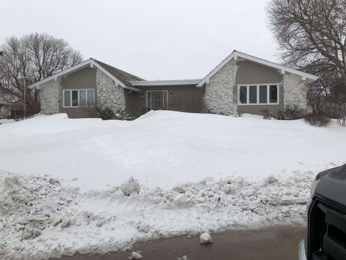
Tim’s spring:3 points
-
Shawano county in NE WI reporting 24.1 inches of snow since Friday night. Another 6-8+ likely there today. Highest total I’ve seen so far. Green Bay was over 16 as of 7 AM. Appleton 14+3 points
-
All but over. What a ride.2 points
-
Atmospheric dynamics will take it into consideration2 points
-
3” since 3pm. 18”+ OTG and still ripping. Forcing shows no real signs of letting go. Gonna make a run at 20” I think. The wind has blown everything around so tough to measure.2 points
-
Lost in the snowfall stats is the fact that the TC has been below 32F since Friday evening....in mid-April. Also set a record low maximum today of 27F. Records back to 1872.2 points
-
You guys over into WI have been in perfect location. No dry slot. Band after band rotating in.2 points
-
Mid-April afternoon in Kansas City: https://www.wrh.noaa.gov/mesowest/getobext.php?wfo=pqr&sid=kmci&num=25&raw=0&banner=off If they hang on to their 30 degree maximum, it will blow away the late season benchmark (a high of 36 on 4/20/1918). Latest sub-freezing max on the books is 4/9/1973. Incidentally, Kansas City just saw their latest maximum in the 30's on record (39 on 5/3/2013) during that historic May snowstorm on the plains. I keep running into 2013 numbers while researching the cold weather in the plains & Midwest lately (and the European cold in early March, for that matter). Interesting that both springs followed major SSW events.2 points
-
You’re dumber than a doornail. I referenced them as tropical forcing analogs, not as analogs for local PNW weather conditions. Do you understand the difference? If not, then I’d recommend getting a lobotomy.2 points
-
Shawnigan averages right around 50” annually. I believe the extreme SE corner of Victoria is in the 20-24” range annually. Though I don’t know a good long term station off the top of my head. Butchart garden area is likely in the 36-40” range I would guess. A lot of the rocky hillsides have patches of Garry oak ecosystems which are generally grasslands and Garry oak trees, like what you see in his pictures. Very different looking than the thick Douglas fire forests that dominate most of southern Vancouver Island. There are areas that look very similar to his yard, about as far north as Nanaimo. The Shawnigan Lake area is almost entirely Douglas fir, probably second growth, as this was a logging and mill town many decades ago.2 points
-
My fuse is short today.2 points
-
The slug of moisture feeding up all the way from the GOM, as this beast goes neg tilt, is a thing of beauty on radar...this is quite the show mother nature is producing...E WI is getting shellacked!2 points
-
Wow! Snowshoe, that's pretty incredible! I'm enjoying reading everyone's posts. What a storm! Pretty much halfway through an April for the record books.2 points
-
May 4, 1967. Although I wouldn't be surprised if this broke a daily record for April 14.2 points
-
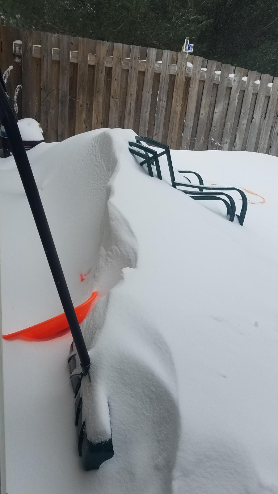
Took several random measurements and came up with over 14” here so far. Still snowing as the bands rotate through today. Expecting another 2-5” and now under a WWA. We only needed 13.6” to set the record for largest April snowstorm. I think MSP will top that easily. The airport still only has 2 runways open as of this morning. The fact that this storm happened in mid-April makes this one of the most impressive storms I’ve ever witnessed. I see the Tues/Wes system is still looking like it could lay down another few inches. Absolutely crazy.2 points
-
It's conceivable, that some spots in N WI/U.P. of MI will see up to 30" of snow from this record shattering monster of a storm. I can't believe its snowing heavily with temps in the upper 10's in parts of N WI and the U.P. I'm speechless. @ Money, how much do you have so far?2 points
-
Lost cell service and wireless yesterday. I think only 4-5 inches Here couple more today. The first 2 inches probably had an inch of qpf. Straight sleet and then graupel. It's now cement. The wind was something. Congrats to the big winners. Awesome stuff2 points
-
Getting chilly out there! Down to 37 with some light rain and gusty winds!1 point
-
Phil, your insults are as technical as when you talk about weather. Always makes me laugh. I didn't know what a lobotomy was until today. We always learn something new everyday.1 point
-
Mike Hollingshead right? Saw it too. Might have to keep an eye on it1 point
-
Saw a guy reference the severe threat for southeast Nebraska if the GFS is right. Shows 1500 elevated CAPE, plenty of shear and temps in the mid 30s which reminded him of a hail storm we had in 4/2013 where up to baseball sized hail in Omaha and it was in the 30s. Omaha WFO also referenced severe threat for Tuesday night in this afternoon's AFD.1 point
-
My hat's off to you sir. Great job. You were east of mine and it was perfect. Well done.1 point
-
Maybe you'll get more than 2" tonight.1 point
-
Huron Mnts poster.. "It’s bad here. A foot or just a bit more since 8 this morning. Winds are gusting between 30-35 mph consistently. 10-15” more by tomorrow afternoon, with a few more inches tomorrow night likely. The deepest depth I’ve ever seen at my house is 52”. Seriously may make a run for that! This is crazy even for up here just two weeks shy of May!" Just recently he was complaining at how long winter's been. Much more interesting when you're getting rocked by a real storm1 point
-
The winters that occurred during the 3 most recent solar mins: 2010-11, 2009-10, 2008-09, 1996-97, 1995-96, 1985-86, and 1984-85. The common theme has been major NH blocking.
 1 point
 -
Maybe 2" here. A lot of crust. Only 29°. Looks like January. Pretty amazing for Apr 15.1 point
-
This is good stuff.1 point
-
No, that was too easy. I anticipated the return of your sociopathic tendencies, and decided to take screenshots of all your “forecasts” since January 2016. It was an epic waste of an afternoon for me, but now I’m loaded with ammo. Enough to last a lifetime. I’m literally just getting started.1 point
-
Do not want to get involved in your petty rivalry with Phil.1 point
-
If you could bet on weather I would put money on above average summer temps for the PNW.1 point
-
Just saw a storm report of 8 inches in southern part of fdl We probably have a bit more than that. Pretty good storm1 point
-
@ Snowshoe/Money, you guys officially have your first Blizzard of the season!1 point
-
Finally raining here again.1 point
-
This just happened in GB the last 45 mins A roof collapsed above a pool area at a lodge Here are some pics.. https://m.facebook.com/story.php?story_fbid=1800958943542970&id=14410729261982421 point
-
Officially 12.9” as of 7am at MSP int’l. We need 0.5” to become the largest snowfall event on record in April. No doubt we get there. Still snowing moderately. Another few inches coming today. I’m at 14.5” at my place. ^ nice stats posted by Money1 point
-
Man, if there's ever a place that needs the rain, the green spot is it.1 point
-
1 point
-
Spring gets a bad wrap around here, but it's perhaps our most aesthetically appealing season (a lush landscape with snow-covered mountains). Also, the best season for air quality.1 point
-
Finally raining here. It was getting pretty old watching that front sit to our NW the last 36 hours. There is that really fragrant, flowery smell outside right now that sometimes comes with rain this time of year. Very nice.1 point
-
Eh. All in all this isn't really different from anything that has happened this season. The only thing that sets this apart is it's mid-April. This is just adding yet another 1-3" snowfall to the 20 billion we've had this year. If this were to happen in January nobody would bat an eye. Really though. 2" of powdery snow on April 14 is impressive.1 point
-
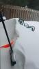
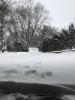
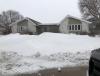
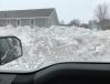
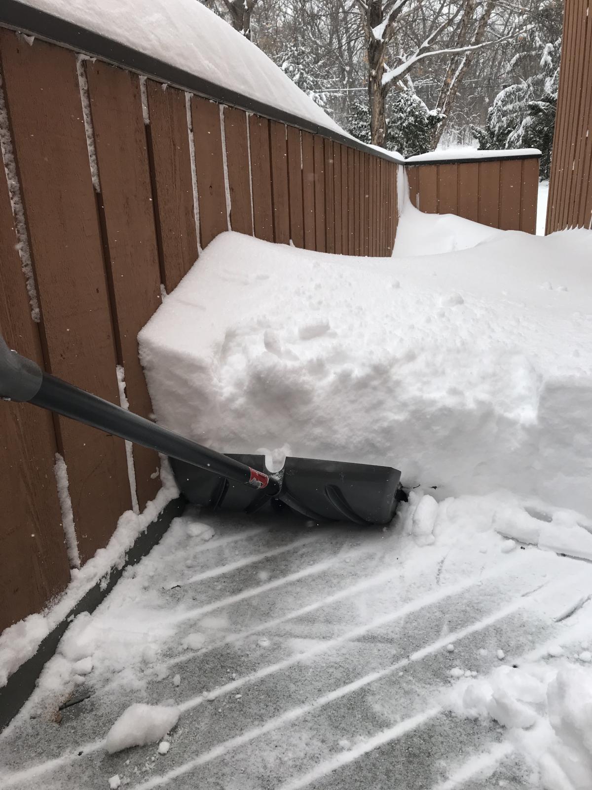
Some pics around our town after the blizzard.
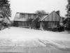
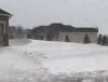
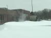
 1 point
 -
yeah we went from winter and snow to summer like temps in a flip of a switch1 point
-
That has to be it..... lol1 point
-
Going down to 38* tonight, damp, cold, windy. Nearly froze me arse off going to the store today. High of 86* by Thursday. That should be sufficient to kill half of us off. Really, this winter has been seriously weird here this year. I don't think I have been this chilled in a Texas winter. Windy, just a misery.1 point


This leaderboard is set to Vancouver/GMT-07:00