
Leaderboard


.thumb.jpeg.e3014abf99ef08a9f9ac2c0cd31b485b.jpeg)
Popular Content
Showing content with the highest reputation on 10/01/18 in all areas
-
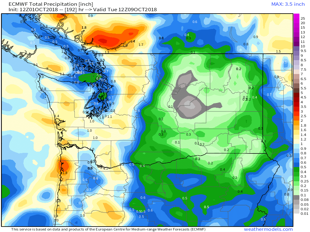
GFS wants to focus the precip where it is needed...5 points
-
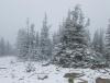
Snowed at my property sunday morning.
 5 points
 -
Looking like some impressivley chilly weather coming up. 925mb temps drop well below freezing in extreme southern BC during the next couple of days and some unseasonably cool air sags into WA. Later this week and early next week the GFS depicts a lot of days with low thickness values and northerly surface gradients. Should be widespread frost showing up in the coming days. If the cold pattern verifies it is essential we stay away from El Nino this winter. October cold snaps during El Nino seasons are usually spell a horrible winter. Barring a Nino, however, I think we are on a really good path here.3 points
-
Riding that model 4 times a day. Get the cialis!!3 points
-
32 for a high @ Cut Bank yesterday. Daily record (prev. 33 in 1950), and first sub-freezing max in September since 2000.3 points
-
BRRRRRR!! Could this map be in the making this upcoming season?!3 points
-
The 00z GEM goes absolutely nuts. Sub 528 thickness west of the Cascades. This is starting to get ridiculous.3 points
-
Snow is increasing this evening in the BC Cariboo. Kind of disappointing that I’m not heading up to the cabin this weekend with some of the rest of my family. Some of the mountain passes are expecting total amounts up to 16”
 2 points
 -
The 18z ECMWF just went operational today. Lol.2 points
-
I agree to a point, just like the "dry heat thing".....I don't care how dry it is, 115 degrees sucks! Same could be said on the cold side....The coldest I have experienced is about -18 to -22. While I have been in "warmer" more humid conditions (10-15 degrees here in Bellingham) and felt colder in my core, -18 hits the extremities pretty quick, not to mention the wind if you are not layered up properly. My son will be walking to class, plus he plays in the marching band which equates to about an 8 hour day outside in the elements, so he will be out in it a lot more. Also, Bozeman appears to get pretty windy, although I'm told by my mother in law that if you ask a native Montanian, only Livingston and Great Falls get "windy" LOL2 points
-
Speaking of aggressive...2 points
-
As the ol' saying goes, "great minds, think alike"...nice write up by Gary Lezak this morning regarding the beginning's of the new LRC pattern. I jumped on the idea of a EC ridge once I saw the Aleutian Ridge in late Sept, but how long does it last??? Still riding on the idea that post 10th, there will be a bigger trough that'll take over the central CONUS. Actually, I just saw the Euro Weeklies, and it is keeping the central states below normal after the the 10th, even all the way down into deep TX. @ LNKwx, can you confirm???1 point
-
Driving past Mt. Shasta, new snow visible just below the cloud deck.. Also, the big fire along I-5 between Yreka and the state line looked completely out, but it still smelled of charred trees & grass, pretty gross...1 point
-
While the graphic is hard too see the US I have an image of the 500 mb pattern for the Beijing climate model for the winter. Very similar to the Euro and JMA http://cmdp.ncc-cma.net/download/Prediction/CS2gen/20180901/C_GH500_20181201_M03_GL.png1 point
-
This is true only to a certain extent. Low single digits above zero and anything below zero is just plain cold no matter how you spin it. Even just a slight breeze with those temps (wind is pretty common here) cuts right through you which you just never really experience anywhere in the PNW western lowlands. Also when it does get really cold in the PNW (teens or below) it is also quite dry and continental anyway.1 point
-
I survived 7 weeks of that kind of cold in Jan-Feb '94 in N Mich. It was brutal. Don't care to re-live another episode tbh and yeah, don't look for any storms in our sub with that around. Ofc, it wasn't teeth-chattering the entire 7 weeks, but wave after wave hit with no above freezing spells mixed in. Here's a 7 day example that coincides with that old TV snippit of Skilling's WGN weather map. Keep in mind this was Traverse City proper where non-stop LES clouds were insulating the temps. Further inland where I worked (50 miles) the lows at night were plummeting to -30 to -40F often. The average departures (4th column) ranged from -15 to -30 below normal and the snow depth went from 24" to 35". My place was further inland about 3 miles and about 400 feet higher in elevation. I was buried. Used my blower every evening and shoveled my roof which was a lot of work due to the settling. It wasn't light n fluffy stuff. Those days were truly like living in the Yukon for this guy.
 1 point
 -
Not surprisingly, the GFS was way too aggressive with Rosa coming ashore in AZ. Much weaker system moving in than what runs from 5-6 days ago were showing. The Euro and FV3 were much closer to reality.1 point
-
Sounds like anywhere from about 2” to 11” of snow fell across south central BC last night. Likely record snowfall in some locations for this time of the year. Another 2-6” forecast tonight as a strong upper trough slides south.1 point
-
Getting closer to winter If i'm correct this is the first winter storm warning of the season1 point
-
My son texted us yesterday that *news flash* it snowed on campus. No S*** Sherlock you moved to Montana. One thing that is a bit unusual, my Mother in law said it has snowed somewhere in Montana every month this year (I don't know if any of the mountain peaks see snow in the summer so that statistic might have an asterisk next to it for snowfall in "populated" areas.) Looks like they start getting some cold weather starting next weekend. My son is being a pretty typical teenager over the whole thing...he is ready for it....his grandma (native Montanian) saw his (Bellingham winter) coat this past weekend, called us and told us that was not going to cut it in Bozeman come November. His girlfriend (also a native Montanian, but with far fewer winters under her belt) says its fine. Being a typical teenage boy, guess who he is listening to.... I'm thinking of starting a pool as to how long it takes my son to call me asking if he can buy a real winter coat...1 point
-
Part of Waterloo now up to 3.5" of rain with another heavy cell moving in. Waterloo just set a new record for wettest month on record, and now they start October with this.1 point
-
Okay. And yes there were a couple of cold pushes in November 2014, including one that brought record lows to much of E. Oregon. Which was amazing as it was timed around the same time as the 1955 blast.1 point
-
Good luck getting any storms with that lol1 point
-
The GFS takes a trough over the east in mid october1 point
-
A battle of the seasons during the next couple weeks will result in a wildly active, stormy....and potentially wintry one?????1 point
-
Does it matter if we end up with a weak niño instead of a warm neutral? The difference is trivial in the end (as far as observable weather/climate tendencies are concerned).1 point
-
It is pouring outside and the radar looks loaded w moisture. If this was Winter and cold air in place, look-out. http://images.intellicast.com/WxImages/RadarLoop/cad_None_anim.gif @Jaster: I think you are alittle too south on all of this moisture today, no? Or, are ya just getting clipped by it. Alittle snow showing up in the Arrowhead of MN if ya look closely.1 point
-
Fascinating read, thanks for posting. Little bit damp this morning here.1 point
-
Thanks man!1 point
-
If you're using Chrome, click "advanced" down at the bottom and there will be a link to proceed.1 point
-
Link doesn't work, I got the same thing popping up!1 point
-
Welcome to October! It looks like portions of the area will open up the month on a stormy note. Legit chance for severe wx later tonight across N IL and parts of E IA/S WI..1 point
-
Here's a link where you can see the weather maps for that time frame. You just need to have the djvu plug-in. I downloaded it from the app store and it works like a charm. https://library.noaa.gov/Collections/Digital-Collections/US-Daily-Weather-Maps All I know from reading up on that event was that it came as a shock to many. Here's an article about that epic event. "The forecast for Saturday, Jan. 25, called for, “Increasing clouds, chance of snow.” Maybe as much as 2.3 inches of snow by noon, the forecast said. Instead, the forecast would have been more accurate if it had included another foot between noon and midnight. But what kind of nutty weatherman was going to predict that?" "Even Florence Florence! got 14 inches over the course of the blizzard. In the first 24 hours of the snowstorm, Eugene-Springfield got 22.9 inches." "Predicting a snowstorm like that which caught forecasters from Roseburg to British Columbia by surprise is about as easy as predicting Earth’s final days, says Clinton Rockey, a meteorologist with the National Weather Service in Portland who keeps Oregon snow records all the way back to the late 19th century." http://special.registerguard.com/csp/cms/sites/web/news/5675242-35/story.csp1 point
-
In 1949-50, the pattern changed a lot between November and January. Magic may or may not have been involved.1 point
-
Doesn't he always call for a warm PNW every winter?1 point
-
I understand your concerns but to me it's a good sign we are starting to see lots of blocking up in Alaska already. Sure, we need the rain but do we really want zonal flow for most of Autumn and then magically hope the pattern changes for December? From now through the first half of Winter, I don't think the overall pattern will drastically change much.1 point
-
I'm with those who are doubtful we see a full on El Nino this winter. Most likely neutral, possibly sneaking into weak El Nino conditions. This year we are in very low solar, so I am confident this winter will be fine. Should be able to get at least one or two cold and snow events in the Pacific Northwest in my opinion. I could be being a bit too optimistic, though I hope not because I really don't want to see a mild and dry winter.1 point
-
Their probably thinking January 1969. Blows everything out of the water. Over 3 feet of snow January 25 to 27 and 47.1" for the month.1 point
-
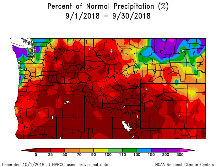
I finished September with 9.38" of rain.1 point
-
I think it understates mid and low latitude SSTs or something and overstates smaller effects in the higher latitudes. Never was much my favorite either.1 point
-
Some modeling is just nice to look at.1 point
-
This big western trough is a very favorable pattern for some plains severe weather as well. Juicy jet with favorable orientation. Euro keeps things more meridional which tempers potential quite a lot. http://maps1.pivotalweather.com/maps/models/gfs/2018093012/180/500wh.conus.png1 point
-
My bad for the misspelling but I think that your area will see the worst of the winter in December and because the lakes havn’t Frozen over yet you could see active lake effect snow systems. Though It won’t be as brutal as last year if it was even really brutal. By the end of the winter you could see near normal to slightly above average this snow this year and lots of cold though warming up into 2019.1 point
-
Nice backdoor cold shot. Sub 534 thickness west of the Cascades.1 point
-
It snowed here!1 point
-
It's nice to see people excited. I, on the other hand, find it difficult to get excited about long-range winter outlooks. If we actually do get a bunch of snow and cold, I'll be excited. Winter can always just as easily be a dud.1 point


This leaderboard is set to Vancouver/GMT-07:00