
Leaderboard


Popular Content
Showing content with the highest reputation on 10/26/20 in all areas
-
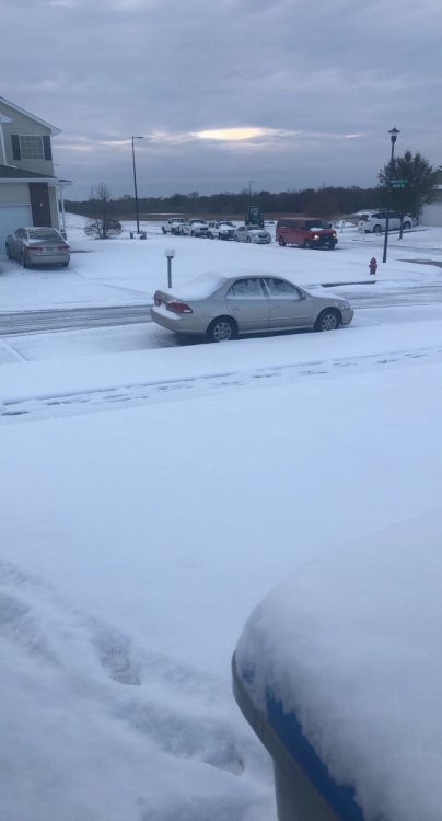
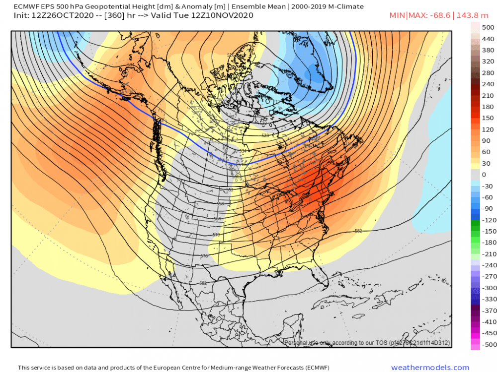
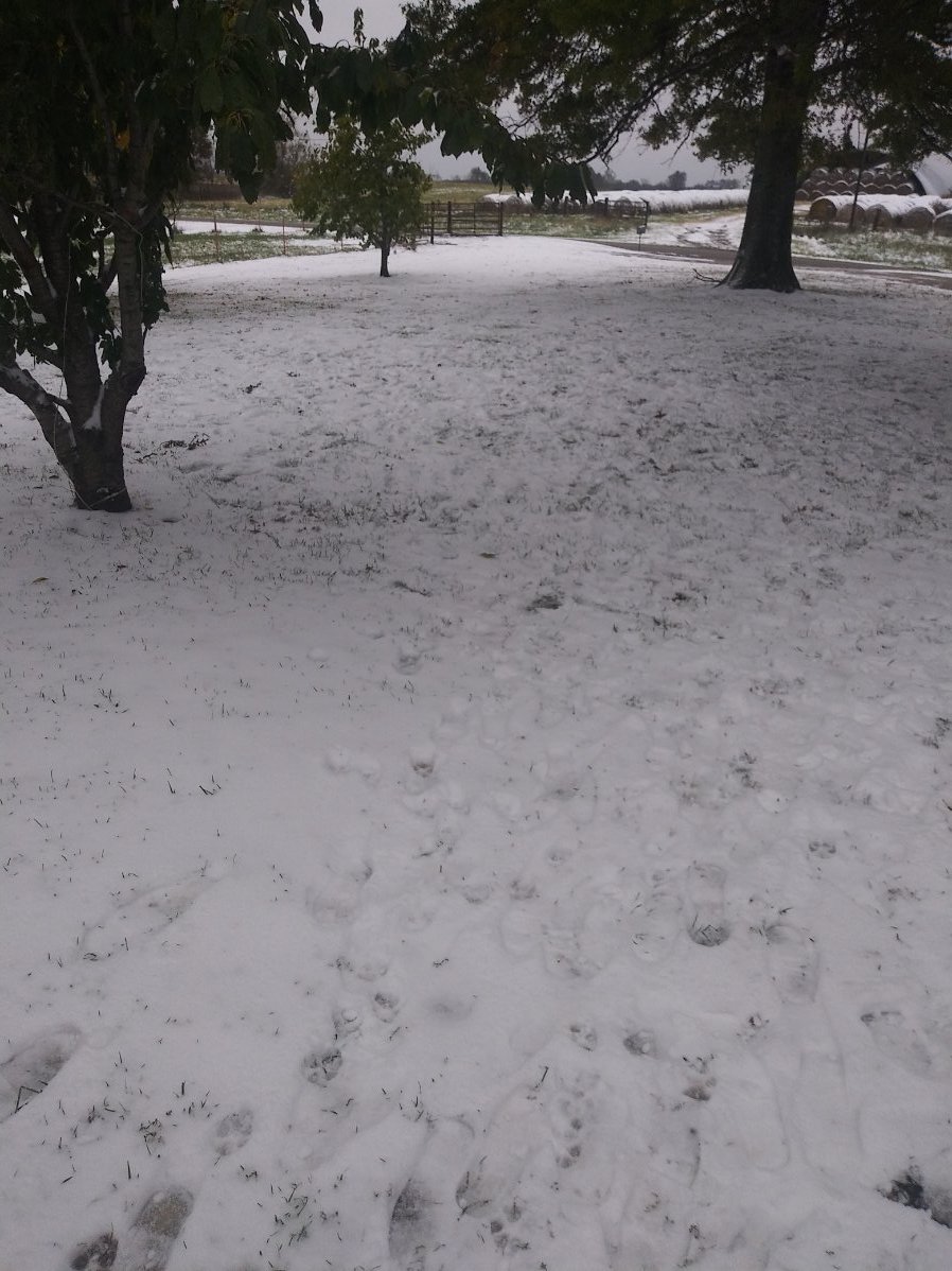
Morning view
 9 points
 -
Good to get this pukey pattern out of the way now instead of December like last year.8 points
-
Bozeman Airport broke the previous daily record low for today by 31 degrees... -20F this morning, record was 11F.7 points
-
Moderate snow falling temp down to 30. Snow starting to accumulate much better now.7 points
-
71 years (1949) to be exact!7 points
-
The heavy band has finally exited. Easily 1" an hour snow rates. One more band is coming through, but with lighter snow. I will have to do some snow removal after school. Currently 14 degrees but zero wind, so no wind chill.7 points
-
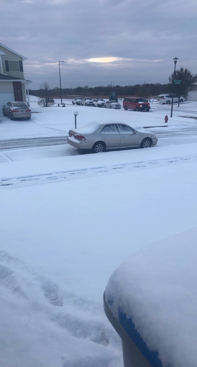
Omaha tied the record low for October 26th at 21 degrees this morning, we might have a chance to break the record if the temperature slips any more this morning or later tonight. Ended up with 2.5" of snow from this system in my backyard, which was at the upper end of what was forecasted - the moderate to heavy snow band produced nicely early this morning. That's a win in my book... a very nice start to the Fall/Winter snow season after a dry, hot, and boring Summer weather-wise around here.7 points
-
7 points
-
I'm happy to report my first snow flakes of the season! 34F with light snow falling...I'm literally right on the rain/snow line...7 points
-
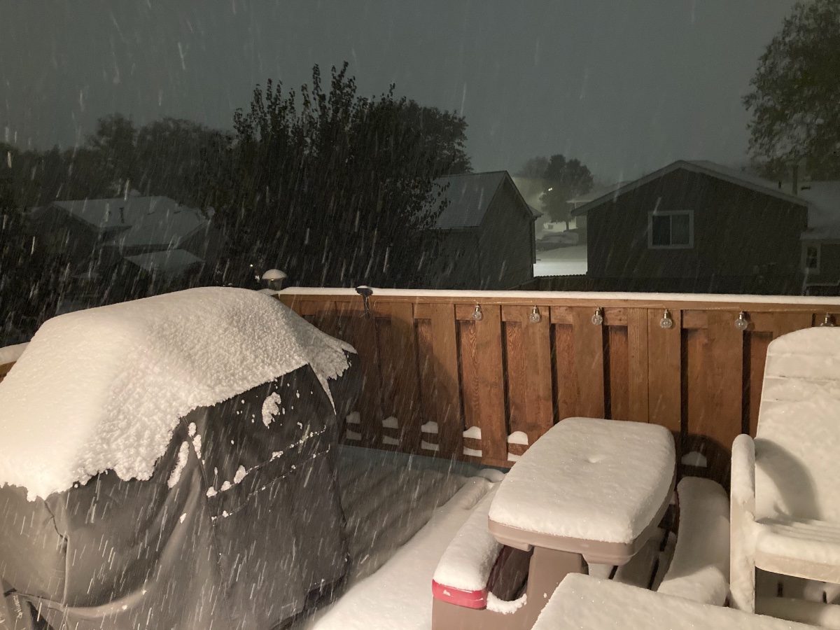
It’s ripping down good currently in Omaha as we are getting into some moderate to heavy banding right now. It looks like a snow globe outside and it’s amazing. Glad I woke up at 2am to check on how the storm was progressing. Eyeballing it, would say we have about 1 1/2 to 2 inches of snow on the ground. Not bad and we should end up around what was forecasted (2-3” total).
 7 points
 -
Heavy snow has been falling for the last 30 min or so. Haven't been out to measure but looking solidly over 2 inches. Temp holding at 30.6 points
-
Since the cold snap is included in this thread... Fell to 13.2°F this morning. Might get colder tonight with clear skies and low wind. Tomorrow will be our first day >32 since Thursday which is remarkable.6 points
-
Just did some new measurements. Mostly 2.5-3.5” so I’ll go with 3”. The airport 4 miles SE measured 2.9” I believe. More impressive to me is that this fell with temps falling through the 20s, very rare for October.6 points
-
A nice band of snow moved through a couple hours ago and dropped 0.5" here. This is our third accumulating snow event this month, totaling 5.1". Last October we had two snow events totaling 6.6". So, we've had nearly a foot of snow over the last two Octobers. A location just north of Des Moines has received a foot of snow just this month. It is supposed to be difficult to get any accumulating snow in October.6 points
-
Officially 1.6” of snow reported at Eppley Airfield, with heavier totals of 2 to 3 inches of snow common across western sections of the metro (where I live). Also, the record low for Omaha of 20 degrees was set this morning, so this one will go in the record books... with a good chance of setting another record low tomorrow morning.5 points
-
Came home to less snow than I expected when I left work. 10 miles can make a big difference. Still a solid inch and a nice way to end Oct.5 points
-
5 points
-
Sun has now come out. What a beautiful scene at 18 degrees as of 12 Noon. I don't remember the last time the sun shown. At least a week.5 points
-
It’s coming down good now and I’m getting a slight accumulation on grass, deck and roof tops. Should be an official 0.1”+ snowfall of the season. Usual average date is Nov 17th so we are ahead of schedule.5 points
-
Knew you guys would like that one!5 points
-
Didn't wake up early enough to see any frozen-ish precipitation falling overnight. But definitely some sleet left over this morning. This feels.....early.....to be scraping the windshield.
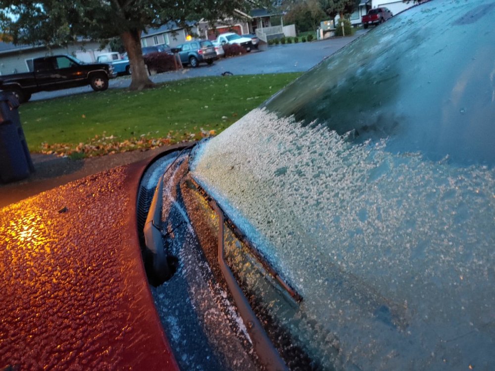 5 points
 -
I will have plenty of work to do in the yard/garden, so a nice stretch of mild weather in November would be great.5 points
-
Looks like we've had a dusting of snow overnight, the car windshields have a layer of slush on them this morning. Currently 33 after getting down to 29.5 points
-
While I am making a big pot of chicken soup on this cold Autumn day, I was surprised to look out my kitchen window and the flakes are flying again! Nice to see it snow during the day with the leaves falling off the trees and a NW wind blowing. The flakes are actually a decent size as well. Temp has been steady at 34F. #FirstFlakes
 5 points
 -
I would say to 2-3" so far and radar is showing a heavy band is moving up here from Northwest Kansas. Weather apps are now saying potentially another 3" this morning if this band holds together. When all is said and done, I'll probably be in that 4-6" range, more realistically 4-5 but we'll see. Models are doing great so far this year it seems.5 points
-
First flakes are falling!5 points
-
Wow. I just went outside and was measuring 3-3.5". I kept trying to make sure I wasn't getting a drift but drifts were more like 5". It looks like it's winding down but I'll do another measurement in the morning. Most of it is from the past 90 minutes.5 points
-
Nice band of rippage stretching from Omaha to Lincoln. Snow is accumulating much faster than earlier. I need to go to bed soon and haven't measured recently, but grass is gone. I'm guessing we'll end with 2-3"5 points
-
I have been noticing that a consistent theme with all the recent model runs is that Alaska is getting anomalously cold.4 points
-
Albuquerque averages measurable October snow about once every five years. So the fact that they're getting snow right now isn't abnormal. But they're expecting up to 8". That doesn't seem normal for October.4 points
-
More snow and frz rain is developing. My WWA has been extended until 7 am.4 points
-
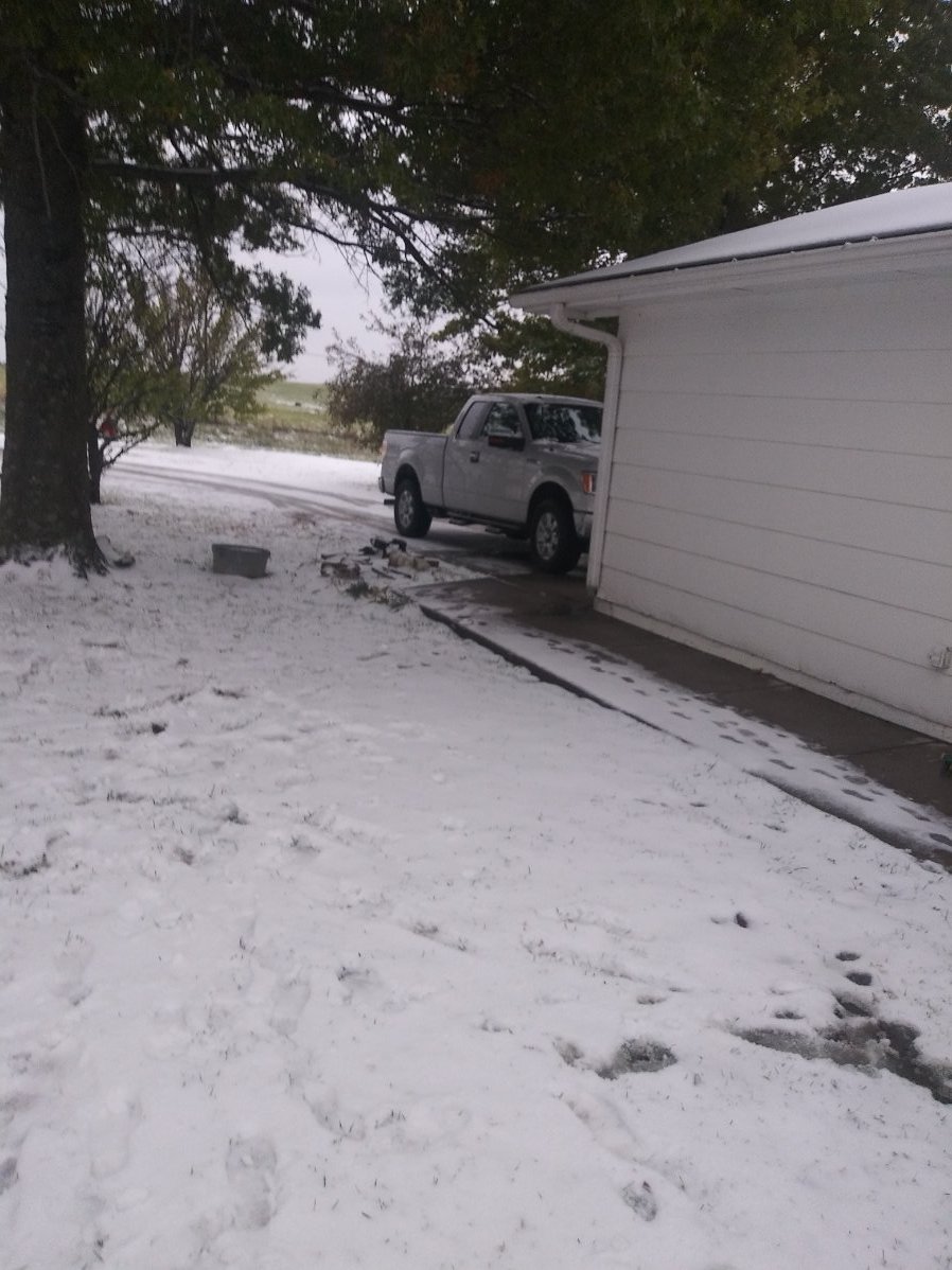
Some pics of today's snow.
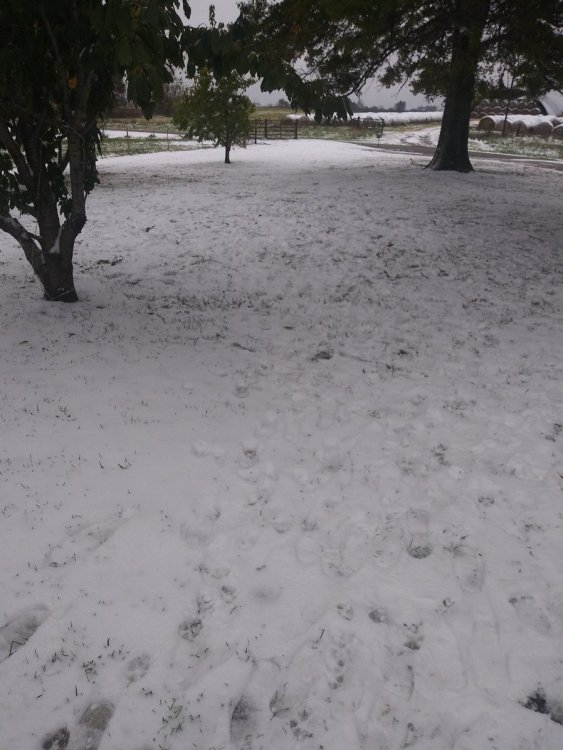 4 points
 -
I heard that OKC had its earliest Ice Storm Warning in history...pretty incredible4 points
-
Colorado Springs high for the day has been 9F ( officially 10F just after midnight). The max/min today for COS is 31F in 1897. That's incredible!!!4 points
-
More sunshine than expected today so most of it is melted. Lots of bare grass and then 1-2” left in shaded areas. And this is with temps still below freezing. Still not bad for the first snow of the year. Let’s hope the 2.9” won’t remain the biggest snow.4 points
-
Down, down we go....
.png.9bdf70f99188348e5e1d7c1b3655952b.png) 4 points
4 points -
EPS has a bit of a retrogression signal toward the end. It was there last night too.
 4 points
 -
Since that lawyer from Hockinson (whom shall not be named) changed his avatar from Richard SImmons to the Blackhawks logo back in 1956 the whole region from CYVR to KMAX has failed to score as a whole, So let's see if this weird "juju" works, and GO!4 points
-
Made is down to 23 last night. Nice and cold down this way.4 points
-
My neighborhood is a sheet of ice. Main streets are mostly fine but side/residential are crap, no surprise there. Though I did see a crashed car on 27th street, so there's that. Looks like we'll get some mood flakes this afternoon, but I doubt there will be any additional accumulation. Way more of Feburary than October look out there today. Snow this early is usually gone as soon as it stops falling.4 points
-
32 degrees while a small band is pushing through Chi suburbs. Grass and cars starting to get covered4 points
-
Hard to believe there is snow in parts of Texas, while there is a strong TS approaching the GOM......talk about contrast4 points
-
1/4 mile visibility, heavy snow falling. Very wintry outside.4 points
-
I ended with just 0.4". Radar was looking promising yesterday evening but just never got its act together around here. Congrats to you guys to the south and west!4 points
-
Enjoy the snow, beautiful scene outside seeing everything covered with 2 to 4 inches of snow here and on October 26th!4 points
-
I wanted to comment on something I posted a while back in early October when we had weak piece of energy that targeted So Cal around the 10th of this month, that eventually cut-off near the Baja of Cali for days on end. This energy circled around in the E PAC for days. While doing so, I had a feeling this would be a big clue for the developing LRC. Eventually, this energy tracked back into So Cal this past Sunday is phasing into the flow which is impacting the energy in the SW right now. Oct. 10th... Oct 15th... Check out the 500mb animation below and you'll see how this energy ends up racing eastward across the SW/TX/OK region today... I believe that as we move deeper into the cold season and as the jet continues to strengthen, along with the seasonal adjustments that will take place, these troughs will pay big dividends and may actually provide the SW Flow that benefits a lot our members.4 points
-
Wind has now died here, and the temp has dropped to 30.4 points
-
Measured between 1.5" and 1.75" at my place in northwest Omaha. Our streets are a sheet of ice which isn't surprising since they don't get treated.3 points
-
Check out Amarillo..more than a foot......3 points
-
Good morning, snow looks to be moving in here in the next hour. Kinda stinks I'll be at work. Can't wait to get home and enjoy it. Local forecast calling for 2 to 4 inches for mby!3 points


This leaderboard is set to Vancouver/GMT-07:00