
Leaderboard


Popular Content
Showing content with the highest reputation on 05/21/21 in all areas
-
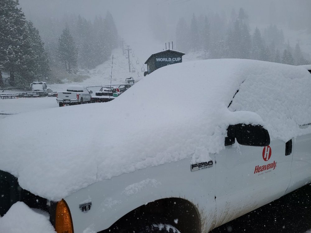
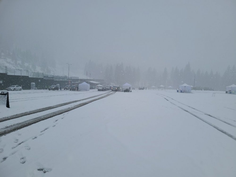
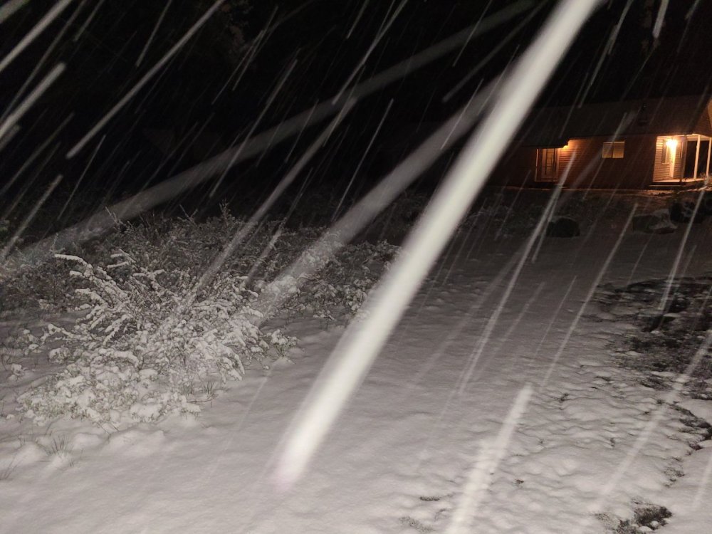
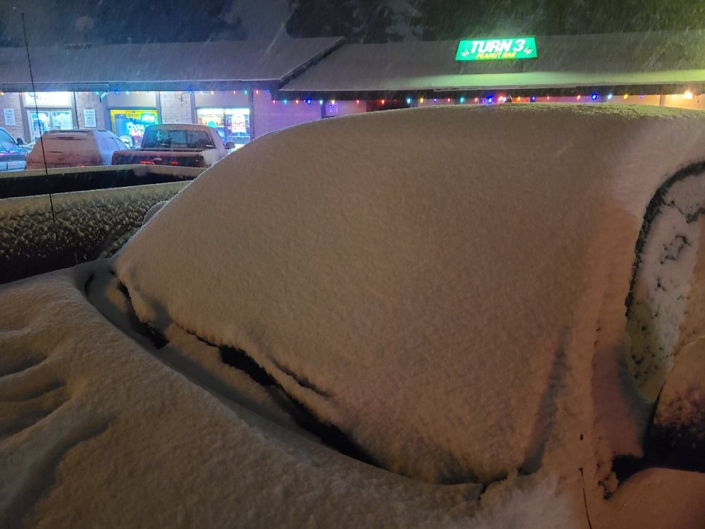
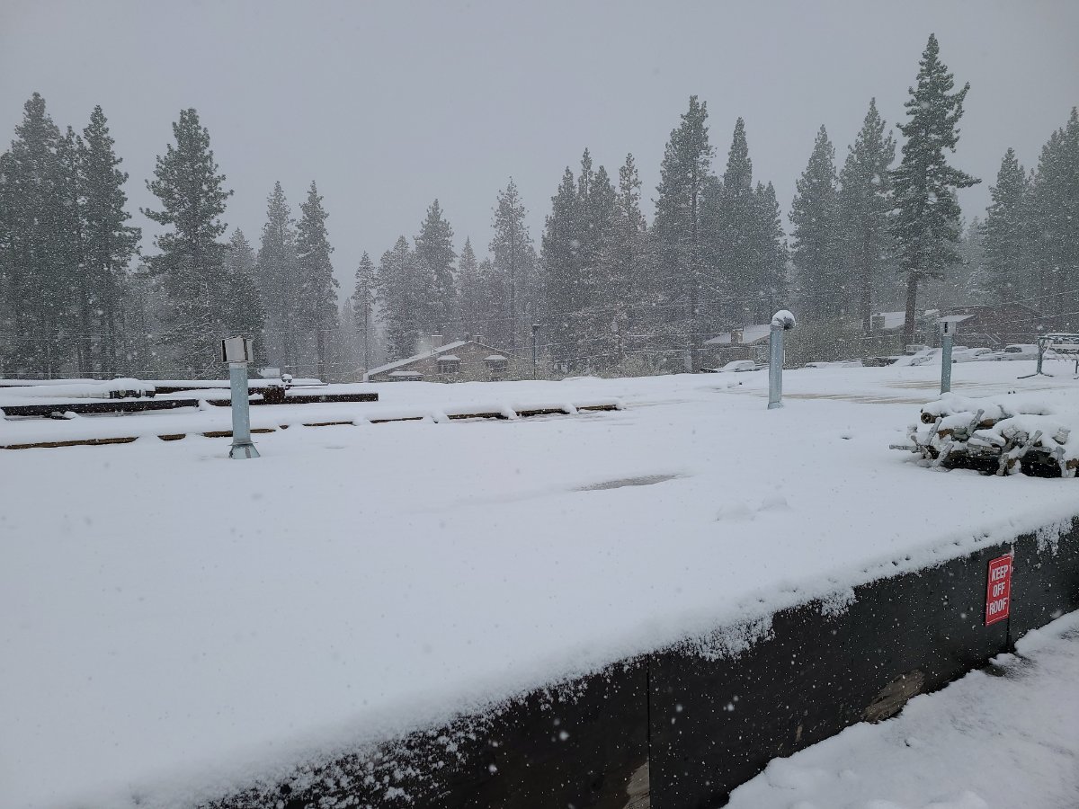
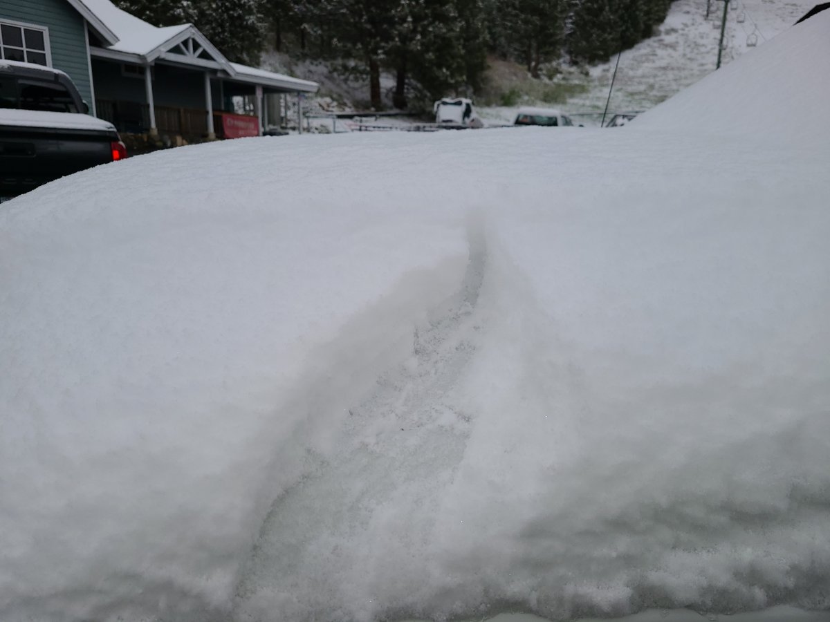
We are doing the final vaccine clinic here in town today at the Heavenly parking lot. We have been under an incredible lake effect snow band for 4 hours now and it is still a total whiteout. Temp is 32F with about 6" so far.


 9 points
 -
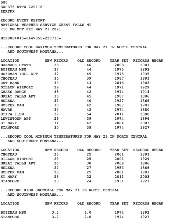
Still snowing here and 29 degrees as we approach 3pm...on May 21st. Just starting to realize the historical nature of this airmass. Latest high at or below freezing was set on May 1st 1954 at BZN and May 12th 1953 at Bozeman MSU. Airport is currently sitting right at 32F as is MSU. Would be really incredible to break that record by three weeks!8 points
-
Up to like 8" now and a total whiteout still.
 8 points
 -
6" on the snowboard this morning. Didn't realize that record low highs are around 45 degrees right now so yesterday was a new record and today will also surely be another. Dropped down to 24F, currently 26F. So glad that we installed greenhouses over our garden this year!
 8 points
 -
The 32 degree high did indeed hold up at BZN. Breaks today's record low high by a whopping 13 degrees and will now go into the books as the latest freezing high on record (records go back to 1935). @BLI snowman Mark another historically cold airmass up!
 6 points
 -
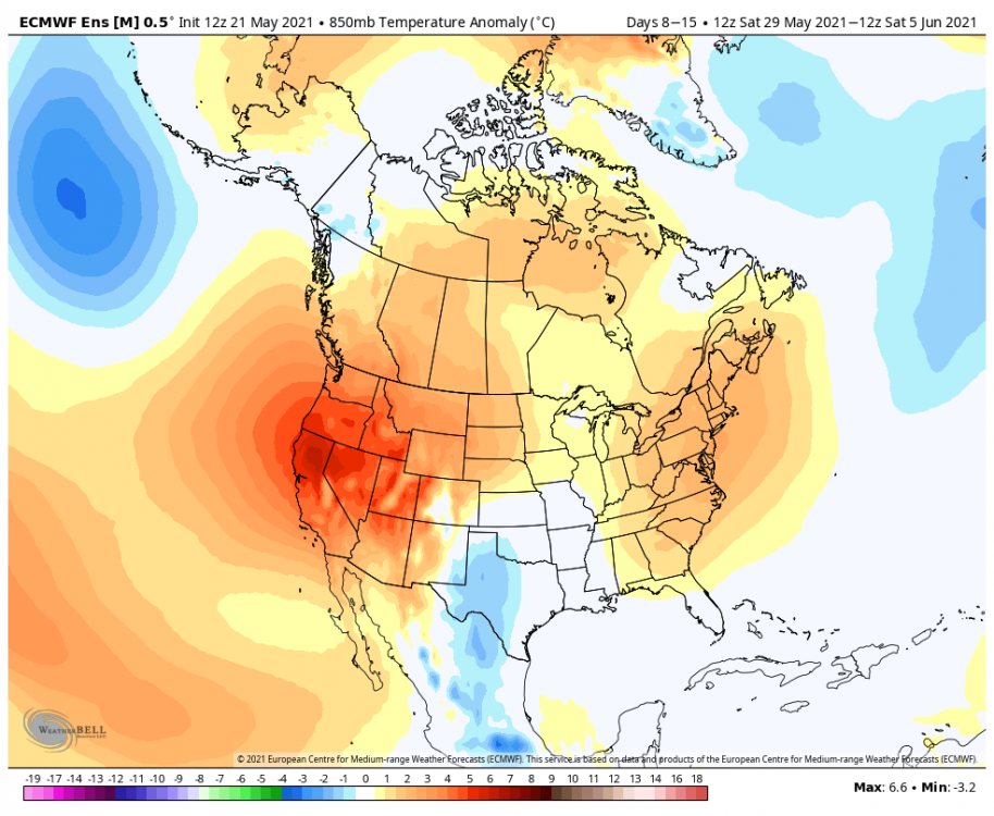
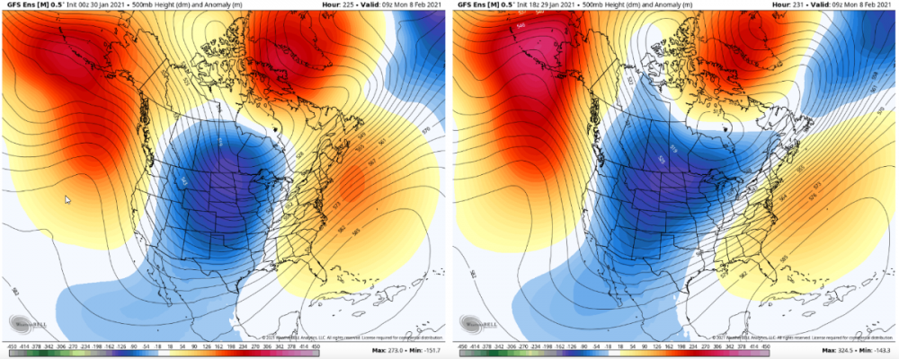
FWIW... the 12Z EPS is wall to wall warmth for the 8-15 day period.
 5 points
 -
3" of snow in 2 hours tonight and still dumping. A very good overperformer
 5 points
 -
Hints of a jet on the EPS. Need to extend it further, though.
 3 points
 -
NWS Hastings afternoon disco says unsettled pattern for awhile. “By Tuesday, this front is trending toward stalling somewhere in the central Plains and could stick around awhile. Also, we get an almost continual flow of rather high PWs for the rest of the forecast and beyond by a consensus of models. We could be setting up for a rather efficient rain event, especially if we wind up getting some training convection.”3 points
-
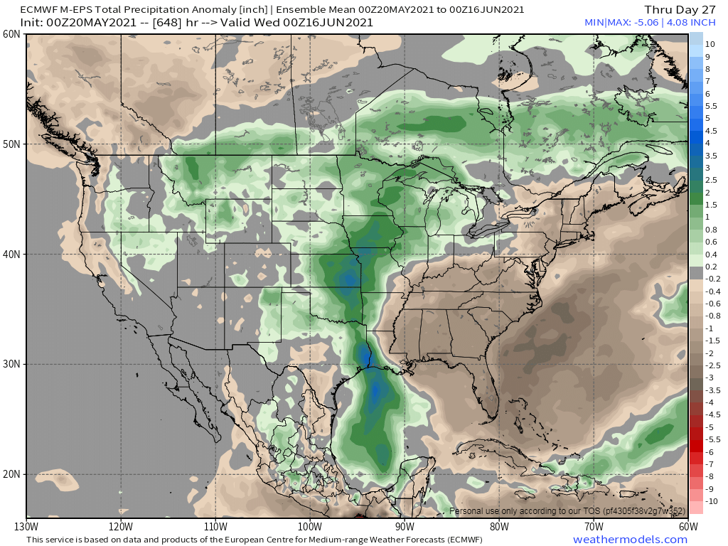
If the Euro Weeklies are right, some places in the central ag belt will need a canoe and may be cause for concern. Flooding could be a real bad impact if this pattern transpires. Geeze, the 12z GFS and other modeling has a continuous wave train pretty much every other day into June. I know a lot of us may be in need of rain, but too much of a good thing could be impactful.
 3 points
 -
Flipped the A/C on for the 1st time this season yesterday during the late afternoon. The drought monitor came out yesterday and NE IL is under a severe drought along with parts of W MI that include the GRR area. Boy, we certainly need the rain over here. To put this into perspective, last year ORD had 19.36" of precip to date while this year we have only seen 5.63". The last 3 years (2018, 2019, 2020) for the month of May, we have had consecutive record setting precip totals while this year we are the 10th driest May. What a difference it has been.3 points
-
I can confirm in GR that watering has been an everyday occurrence this week just to stave off any browning of the grass. It's a losing battle. I can't remember a time it looked this dead of summer this early. And that's after a cool start to May, but almost no rain. So yeah it is dry here. Looks like we may cut into the drought a bit next week, hopefully.2 points
-
Looks like heaven. I remember that stuff from Feb 2019. Approaching the longest amount of time I've ever gone without experiencing snow in some way. I've never gone 3 straight winters without at least seeing snow falling somewhere.2 points
-
I can't remember the last time we saw a broad area of warmer than normal 850mb temps with widespread rain.

 2 points
 -
You never really know how things are gonna wind up here. Spring/summer 2019 was a great example. Spring was super dry and seemed like we were destined for another warm dry summer IMO but we ended up being decently wet throughout the summer. In other good news though...Looks like this might be the first May since 2013 without any +80 high temps. Still a decent amount of uncertainty on where this month will end up in terms of average temps but a good shot at it being the coolest may since 2012. Not too hard to pull off considering how torchy the month has been recently but even a +1.0 May would be the coldest since 2012. Good shot we end up average or +1.0. Maybe we will get to average or above average rainfall too! Still lots of time for things to change though.2 points
-
This is a ter This is a terrific forecast for the warm weather fans!2 points
-
I think it’s more likely than not we score atleast a decently wet pattern for a few days before summer really starts gearing up. No science behind the guess just a guess. Models look encouraging currently for that to happen before the end of the month. Wouldn’t be surprised if we had another wet pattern set up next month too. Gfs was a step in the right direction this morning last 3 runs have trended wetter for western OR and WA and the latest euro run was also an improvement.2 points
-
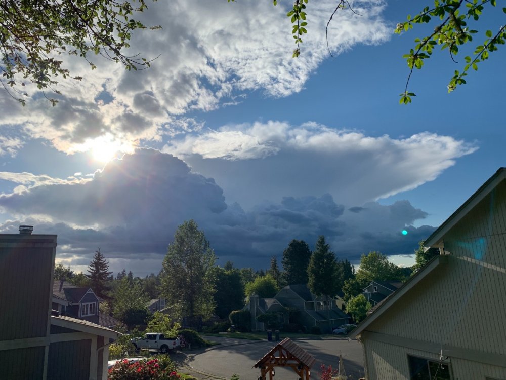
I dont do panoramas but I tried just for you now. Edit: good shot of the shelf on the storm that passed. Nice formation even as it slams against the cascades
 2 points
 -
One day I will experience a temp below 12F in my life.1 point
-
You really should only be riding mature nymphs.
 1 point
 -
Massive emergence tonight. Easily a full order of magnitude higher than previous nights. Went inside and realized there were two nymphs and one mature cicada riding me. IMG_0571.mov1 point
-
61/43 day here. Dry but at least the high underachieved by several degrees.1 point
-
Beautiful... it was sunny here for probably 75% of the day.1 point
-
Cedar Rapids continues to be nickel and dimed this week. My gauge collected 0.05" today.1 point
-
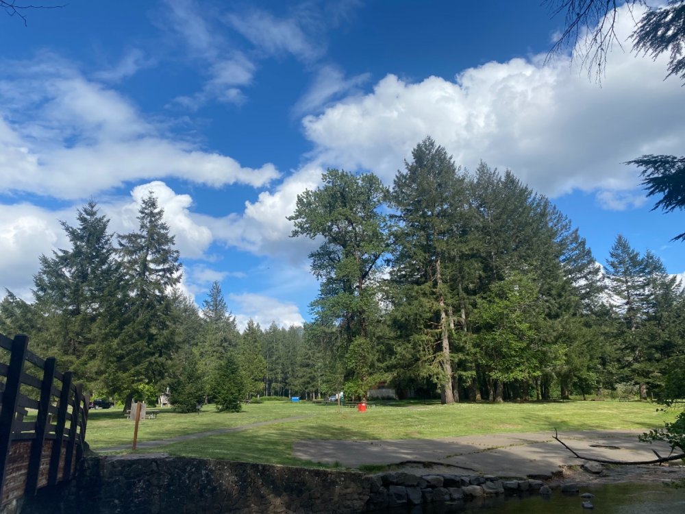
Nice day.1 point
-
I'm enjoying this cool, breezy weather this far into May. I hope it lasts longer before the inevitable blast of summer heat coming our way sometime in June, which likely won't end until October.1 point
-
Full sun now and hitting 80°. Was able to get the lawn mowed. Dumped out another quarter inch from today.1 point
-
Pretty chilly day so far socked in with clouds and a marine layer.1 point
-
I’m growing into believing pattern recognition and intuition is an important element in long range forecasting. So don’t sell yourself short.1 point
-
First day of sustained chorusing. Not obnoxiously loud yet, but they’re gearing up for it. IMG_0545.mov1 point
-
Or maybe we will finally get some decent rain...eventually one of these set ups has gotta go our way. Has been going the other way for awhile now maybe our luck will change.1 point
-
Inevitable flip to warmer/drier should happen in one of the next few runs.1 point
-
It’s actually been pretty dry and sunny overall. I would say the driest/sunniest I ever remember which was why I was surprised it was so green east of the mountains still. I’m assuming the record snow has helped with all the runoff.
 1 point
 -
After 20 days May 2021 has a mean temperature at Grand Rapids of 55.2 that is a departure of -2.1. The official high so far has been 86 and the official low was 30. There have been a total of 13 days of below average means and 7 days of above average mean. (today will be the 8th day) So far there has only been 0.70″ of rain fall. The overnight low here at my house was 60 while it looks like the official overnight low at GRR was 62. At this time there is hazy and 71 here.1 point
-
If not numerous in terms of hurricane activity, destructive will be likely at the least. As Tom said, Gulf and EC are going to get razed, it appears while the Plains and E. US sit under normal to below or even much below in temps. Will feel like the shortest summer in my life if my thoughts actually come to fruition. Only seeing isolated 1c above temps in the models is a sign that there should probably be more cold there.1 point
-
Made 80f today and 72 dewpoint, sticky.. only 4/100 today. But some measurable rain now 5 straight days. About 1.6 since Saturday. Lawns soft and damp. But not much standing water as can be the case at times in may here1 point
-
While I don't love late May snow I'll take the moisture and will happily take it over 93 degrees with humidity any day!1 point
-
Yuck. Saw a bunch of 10-15" snowfall reports in West Central MT today but only a trace here. Expecting 3-6" here tonight.1 point
-
35 degree afternoon high here today. 27 tonight with snow. Even colder tomorrow with more snow. Normal high in Bozeman is 65 today so you don't have it all that bad. 49 sounds downright balmy right now!1 point
-
Another tiny cell moved over us this evening and dropped a quick 0.13".1 point
-
You live in one of the most consistently wet places in the US. Move or stop complaining so much you big dummy.1 point
-
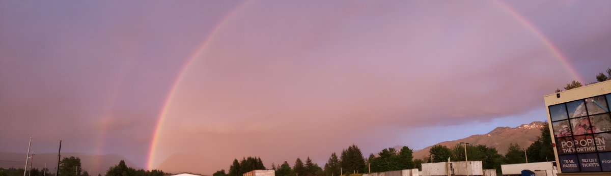
I’m surprised Tim @TT-SEA didn’t take a picture of this or perhaps he missed it. It’s at NB. Just spectacular colors.1 point
-
1 point
-
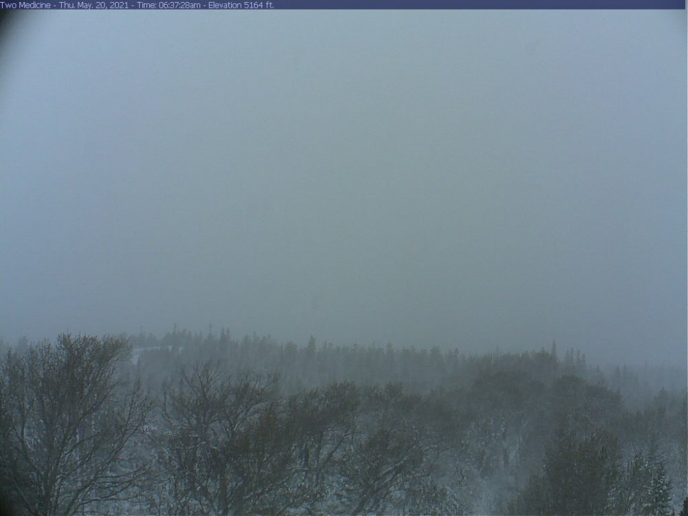
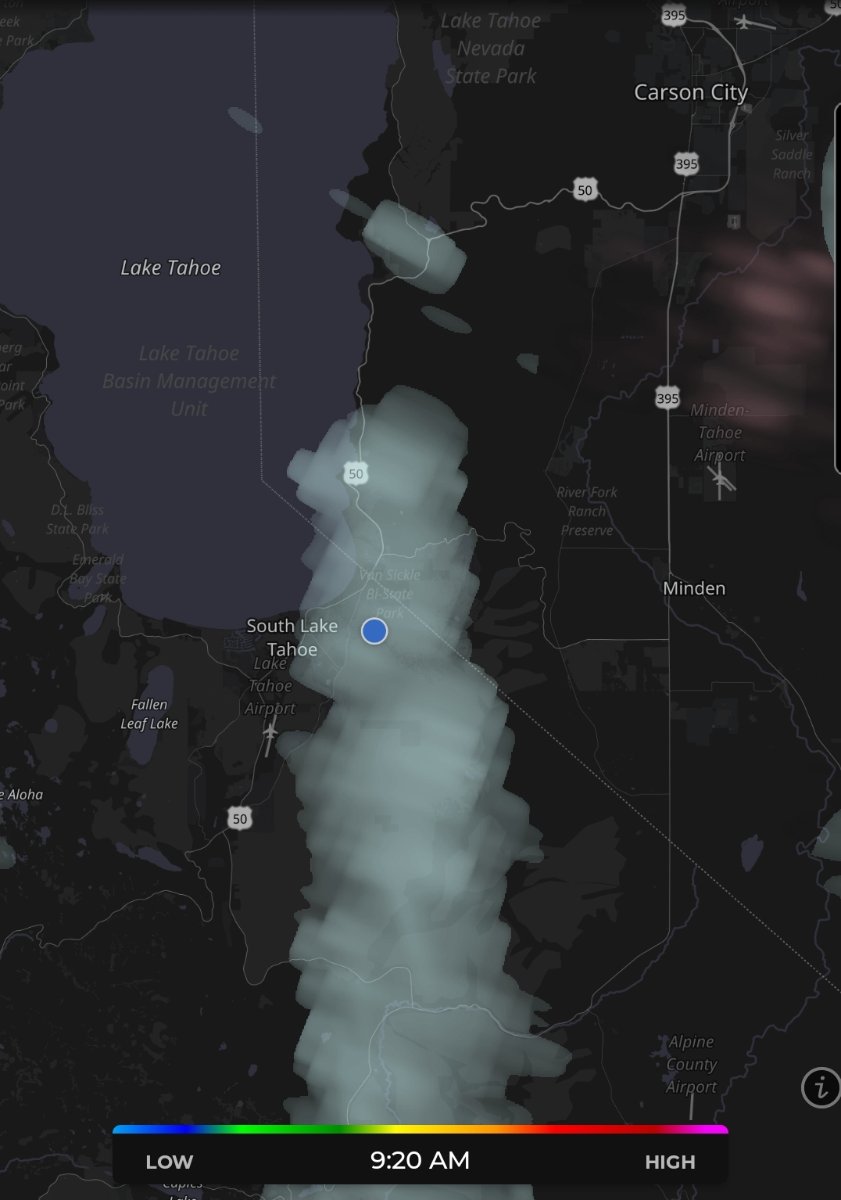
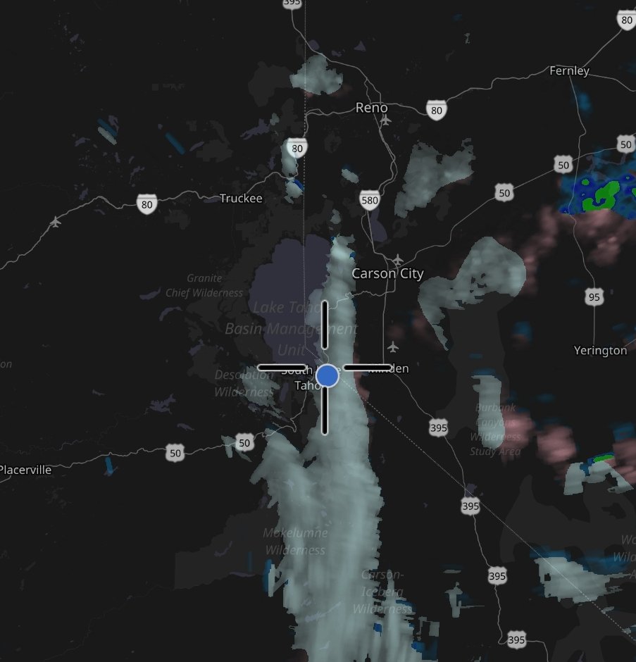
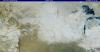
Someone on Weatherwest posted this webcam from Alturas.
 1 point
 -
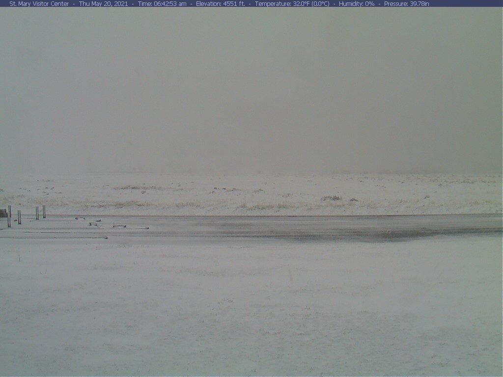
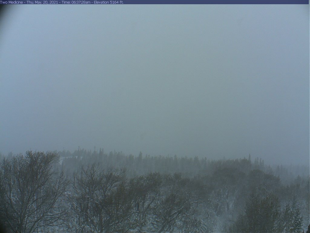
37 this morning. If nothing else at least the snow in the mountains isn't melting as fast with this cooler weather. I see Glacier is getting a nice dumping of snow this morning.

 1 point
 -
Sitting outside watching this one. Will post the nest action shot later! So cool, I’m the only one in the neighborhood looking up
 1 point
 -
Good thing it’s like 300 hours out lol. Too d*mn early for it to be hitting 90 already.1 point
-
Nice afternoon for a ZOOM call at the park.
 1 point
 -
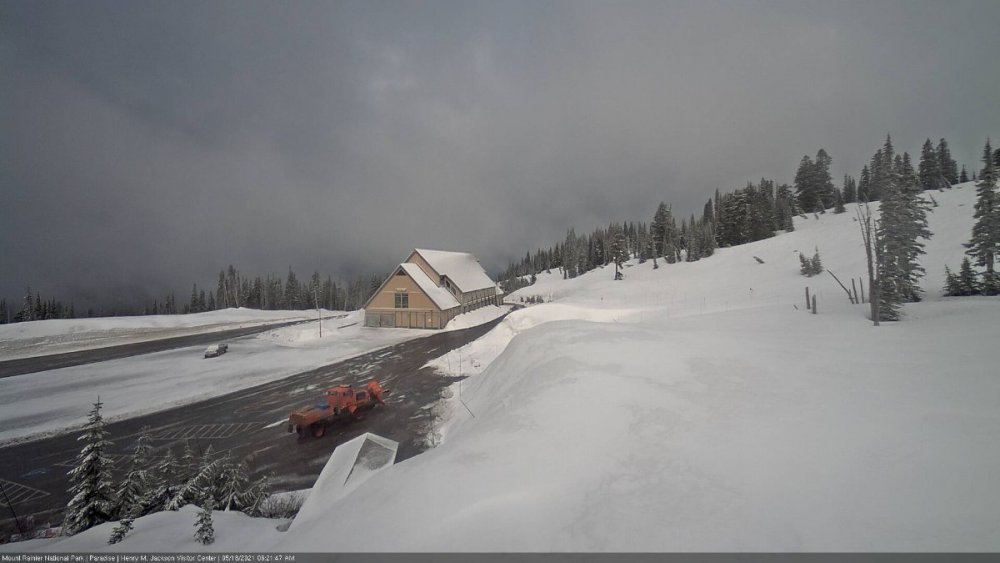
Dusting of snow at Paradise on Mount Rainier (5,400')
 1 point


This leaderboard is set to Vancouver/GMT-07:00