
Leaderboard


Popular Content
Showing content with the highest reputation on 09/28/21 in all areas
-
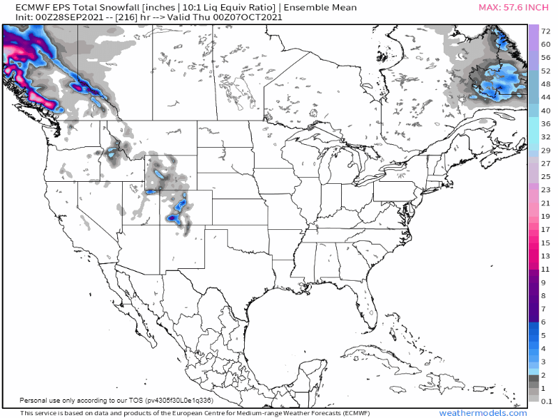
As we near the time of year when the seasons really begin to change, is nature going to serve up timely changes for the month of October??? The modeling is surely pointing that way as we near the end of September. Using the idea of the LRC that Gary Lezak has developed, we look forward to seeing a new cyclical pattern setting up in the early parts of October. Right on cue, the modeling is illustrating something different and a potentially big clue to what this month could have in store. Will there be troughs galore that dig into the west/southwest??? High Lat Blocking??? If you have been paying attn to the recent shifts in the modeling, there are some fascinating things showing up. First off, what is becoming evidently clear, this month is going to feature immense blocking across the majority of Canada. Let's focus in on the Oct 6th/7th time frame when we usually witness the 1st few days of the new LRC pattern setting up over the mid lats. The latest GFS is suggesting one hellova blocked up pattern of N.A.... It's not just the GFS, the almighty Euro is also on top of it... It is my personal opinion, I believe that we are going to see an extraordinarily active storm track farther south than normal next month into So Cal compared to recent years. If you recall, we had the storms track into the west, but they did farther north, thus leading to many hard cutters. We lacked the blocking but not the storms....this year, however, we will have the Blocking along with Storms...a much different wx pattern is dialing up. When was the last time we saw a map like this??? The 1st major storm of the new LRC is showing up on the models to target the west around the 9th-11th period. Who's ready for storm tracking?? The Rockies and Sierra's are going to get hit by Ol' Man Winter...the lower Sierra's are looking mighty fine. This is not going to be a "one and done" scenario...if the Euro Weeklies are right, it's just the beginning...a Fast start to winter is heading for the mountains and ski resorts in the west. How about our Sub??? The LR signals I have been studying are showing up for a mid/late Oct push towards colder/active wx. 1st snows this month??? It is very likely that by Halloween we will indeed see some peeps on here see accumulating snows. Let's discuss and join together in what will be a lively Sub Forum!
 6 points
 -
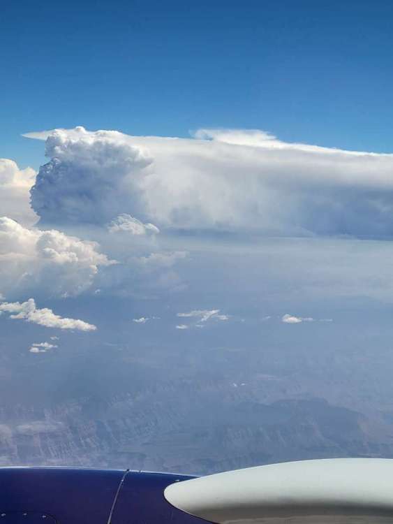
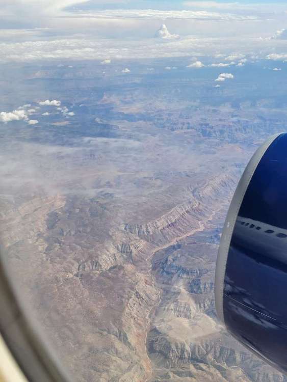
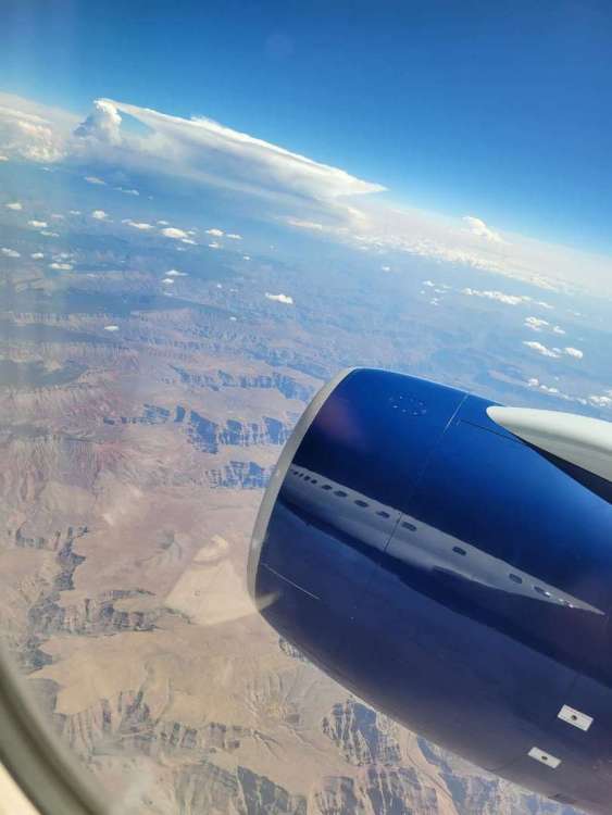
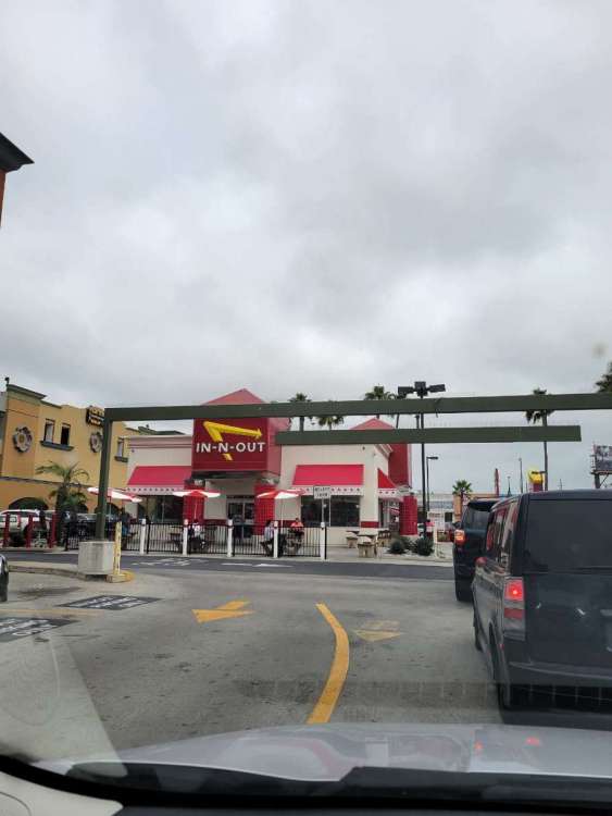
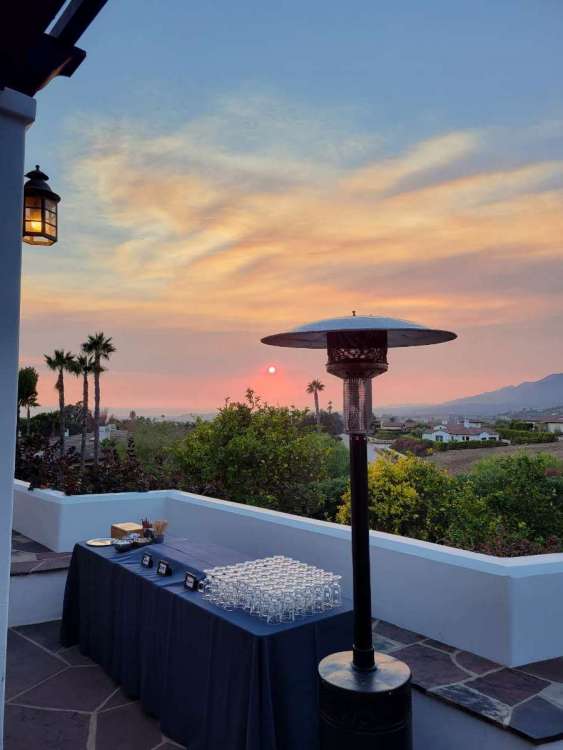
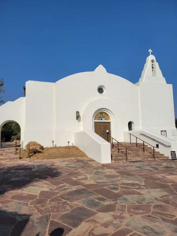
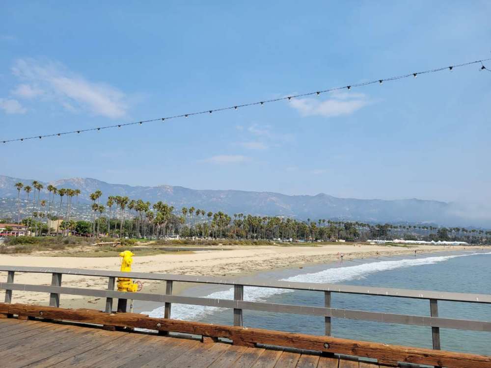
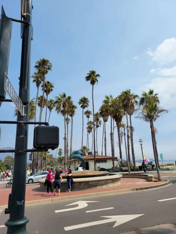
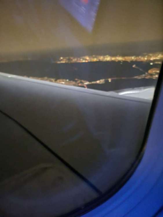
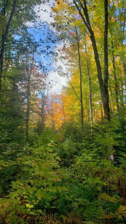
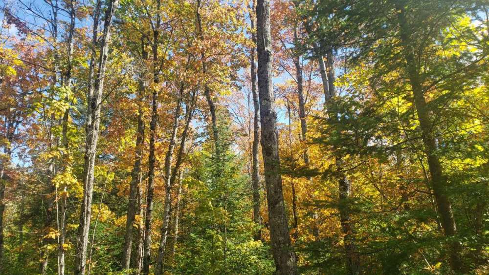
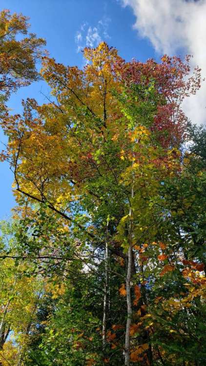
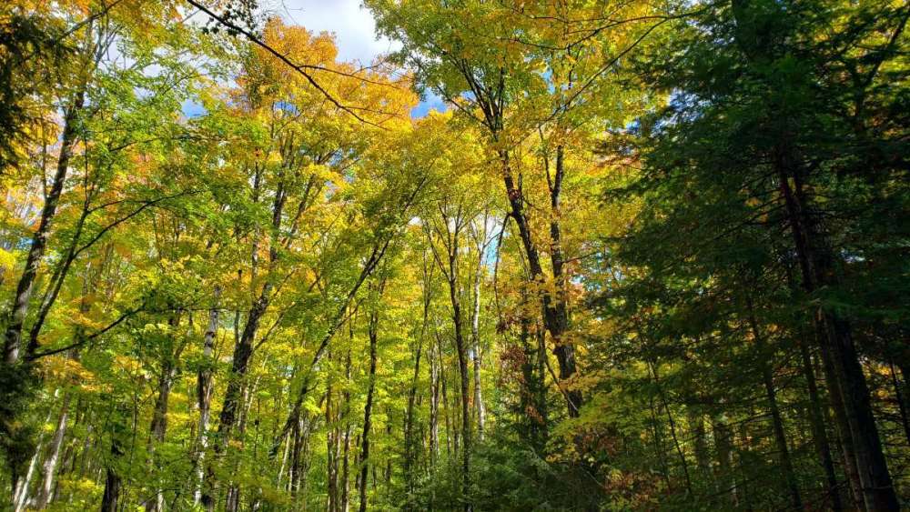
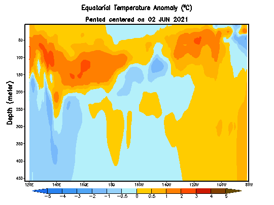
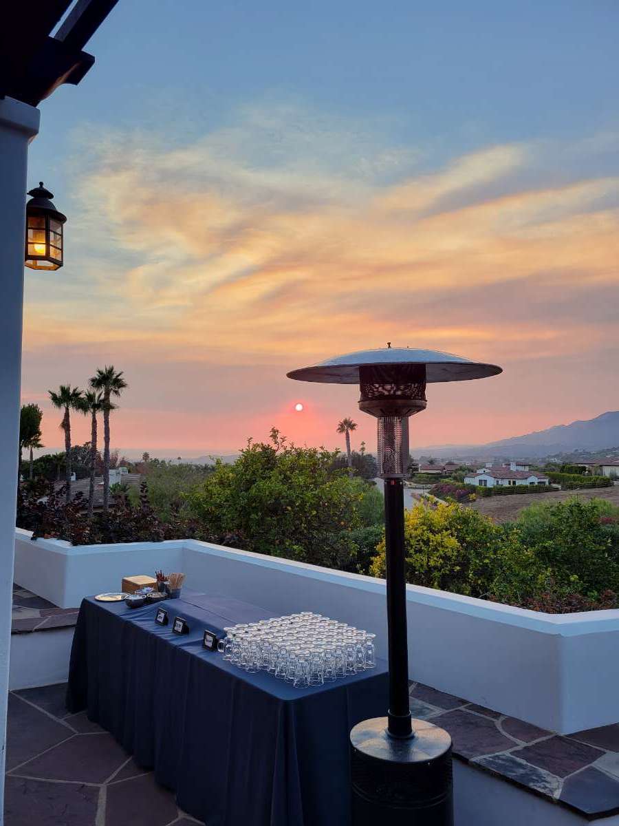
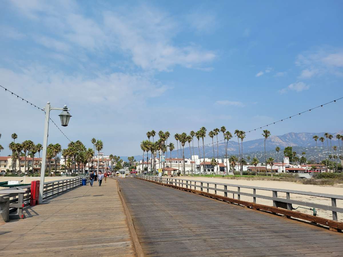
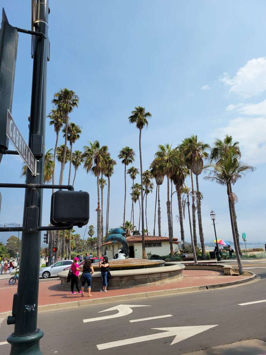
Here are some pics from my trip out west: Enjoy! PIC1: Flying over MI (Central MI to be exact) PIC2: Building thunderstorm in the far distance PIC3: Rocky Mountains PIC4: Another view of the mountains PIC5: Fast Food chain in Los Angeles. (Very popular) "Burgers were extremely good." PIC6: Reception area after the wedding. View as you can see is extraordinary in the Goleta area (Santa Barbara). PIC7: Church area in Goleta, CA. PIC8: Pier walk, Goleta area, CA. PIC9: View from the pier PIC10: In this pic, just by looking at it, it brings you a cool, Pacific breeze at ya. PIC11: Flying over LAX upon arrival.


 6 points
 -
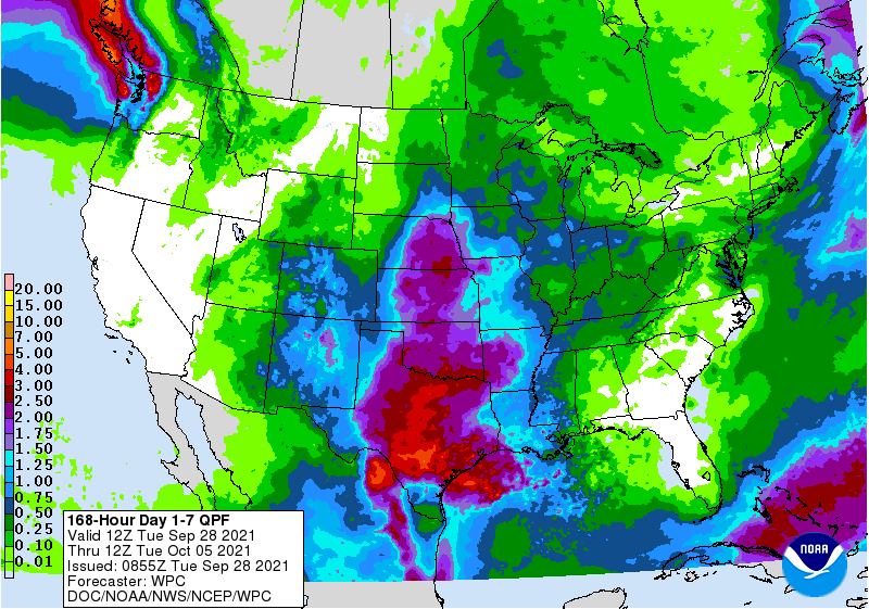
Sign me up to the beginning stages of the new LRC if the QPF forecast for the next week is right! Granted it's hard to tell if this current rain is part of the old/new or a combo. Can't wait to see what the month of October will bring for all of us!
 5 points
 -
As the sun starts to set, bye bye to 90s for good. You will not be missed. But I'm sure this post will look dumb when it's 91 on October 15th4 points
-
TOP Fun facts to set the table.... Here in TOP we've had measurable snow the last four October's (2017-2020: 0.4", 0.5", 1.5", 0.6") after having no measurable snow in the previous twenty (1997-2016)! Oct 1996 had 8.0" which was the year of the "October Surprise". Six of the last seven winters here have seen less than one foot of snow (seasonal avg = 17"): 14-15: 10.3" 15-16: 4.9" 16-17: 6.6" 17-18: 8.1" 18-19: 27.1" (yay!) 19-20: 11.7" 20-21: 11.3" That's exactly 80" of total snow over the past seven winters (avg=11.4"). So I sure hope we have a snowier winter this year...just to break the monotony if nothing else...4 points
-
We've had snow the last 3 October's and that has not translated to a snowy winter. The good news is we have storms and blocking showing up to start October and let's wait and see what the temps do once we're in October. I have a feeling several of those storms showing up will wrap in some cool air.4 points
-
Yes...phenomenal burgers! I had to get 2 of them to really get a real feel outta them. Lines are huge and looks deceiving when you first see it, but tbh, they have so many people working there all at once, which makes it move along nicely and b4 ya know it, you are there at the window paying your order.3 points
-
In N Out Burger rules!3 points
-
What a promising start to the new pattern. Now the question becomes will the blocking show up in each cycle, if it does it will be a great winter!3 points
-
Upper 60s in the grids for all of next week. DMX says this current heat is about to be a thing of the past. Lets hope so!3 points
-
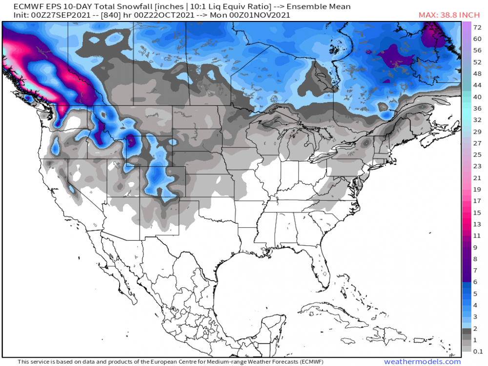
As promised.....should be a fun month of storm tracking! https://theweatherforums.com/index.php?/topic/9079-october-2021-observations-and-discussion/2 points
-
Hit 87F yesterday before the lake enhanced CF swept in and abruptly dropped temps into the 60's. While the afternoon was quite warm, the evening was delightful and cool. Its currently in the upper 50's around the area. It might be the last time we have temps that warm for the rest of this season. Looking forward to seeing temps in the upper 70's to near 80F for the rest of the week...warm days and cool nights...precip chances on the rise this weekend.2 points
-
Waterloo and Cedar Rapids both tied record highs today at 89°. Upper 60s and low 70s next week which will be right at normal. Hope it sticks.2 points
-
Comin along...mid week should be prime this week. Held in the 50's today.
 2 points
 -
So, if you had just 10 seconds advanced earthquake warning, what could you do with it? At home? At work? https://www.newyorker.com/tech/annals-of-technology/theres-an-earthquake-coming?utm_source=pocket&utm_medium=email&utm_campaign=pockethits1 point
-
Alturas is forecasted to gown to 25F tomorrow morning! I love how huge the diurnal range is over there.1 point
-
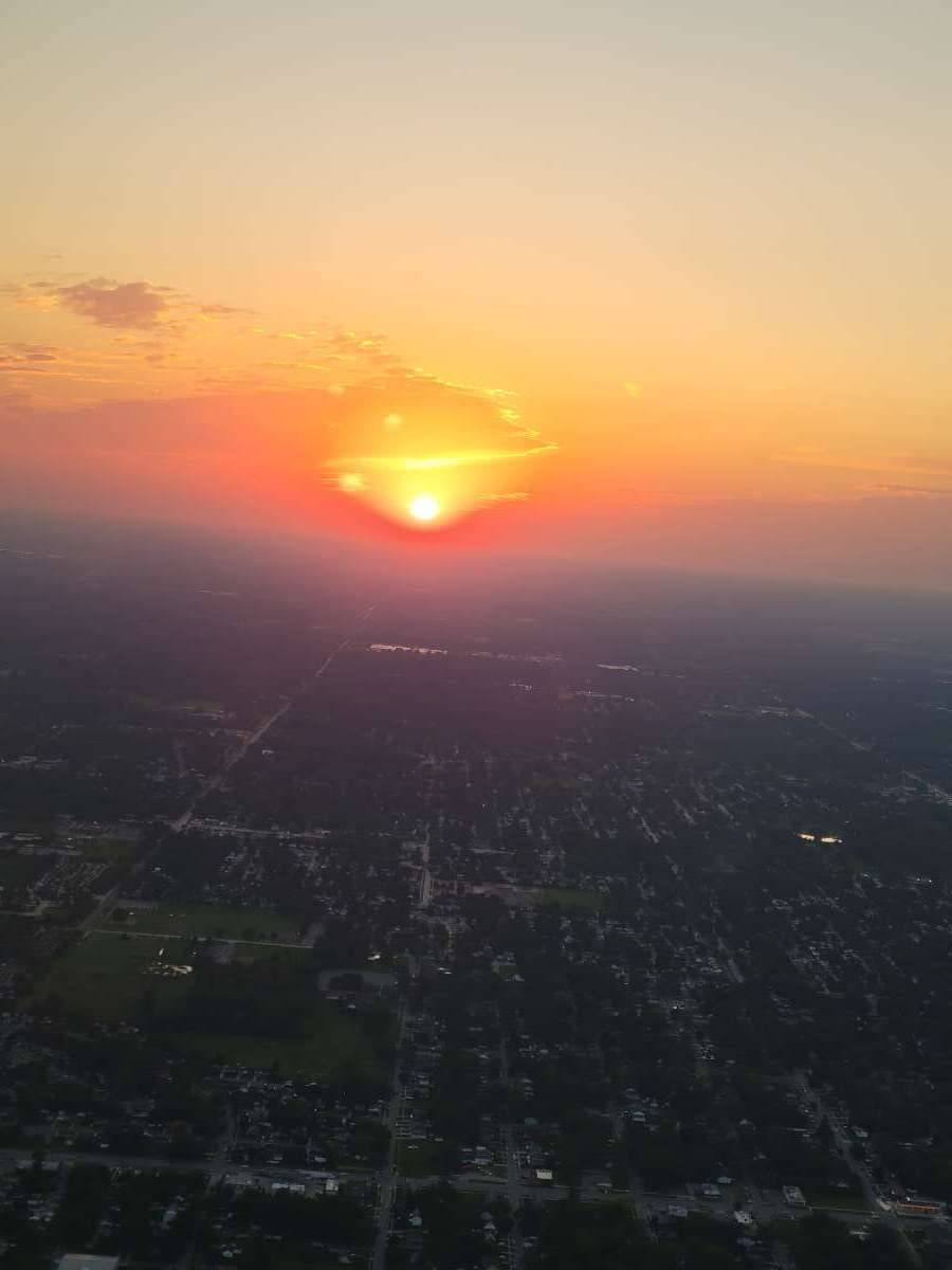
Sun was out for a while, but now the stratocumulus clouds are back.1 point
-
Kinda strange with a strong La Nina expected1 point
-
This x100…1 point
-
Several record highs today and more of the same tomorrow.
 1 point
 -
Get ready. Should be a real winter.1 point
-
I am going to need you to go back to the drawing board and come back with a better Analog At one point in that winter Mobile Alabama had more snow than lake Tahoe through Mid Jan of that year. It took a SSW to finally bring us some snow in March of that season. I think we finished around 60% of normal. We have had back to back 50% of average winters for the first time since 1975-1977. A third one would be unprecedented.1 point
-
Did you mean February-April? I think you meant February-April. Let's go with February-April.1 point
-
Can we just have winter from DEC-FEB and be done with it?1 point
-
From what I've learned in years past, the surface pressure pattern in the warmer parts of the early Autumn season don't necessarily mean it will be warm in the Winter. It usually is the opposite unless there is zero high lat blocking to dislodge colder air in the mid lats. For instance, looking at the same time stamp as your map above, look at the pressure pattern in the northern latitudes. This, to me, signals colder air would bleed south once it cycles back in Dec. In the summer, this would have an opposite effect and Canada should be blow torch hot as well as the inter-mountain west/Upper MW. I'm just thinking out loud here but I do like the fact that there isn't a raging jet blasting into the west which pumps the ridge over our Sub. Systems are showing signs of tracking into Cali and not just up farther north into the PAC NW during this opening week or so of Oct.1 point
-
When I was shopping at the grocery store a couple weeks ago in AZ, I happened to come across the Farmers Almanac and took a peak at their winter forecast and it certainly did look really wintry for a large part of the nation, esp the MW/GL's region. It's rather encouraging to see them dub this coming winter "The Season of Shivers"...time will tell...1 point
-
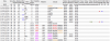
Massive cool pool exploding over the equatorial PAC...the last few frames are noteworthy...yet again, the CFSv2 was right all along months in advance that a 2nd year La Nina is coming for Autumn/Winter. Let the games begin.
 1 point
 -
Sick and tired of this.0 points
-
This has got to be one of the gloomiest September days in Southern California history.0 points
-
Anita Esquivel Accused of Setting California Arson Fires | Heavy.com Anita Esquivel is a California woman who is accused of setting arson fires along Highway 101 near Salinas, California. She is one of several people on the west coast to be charged recently with setting arson fires as states battle major wildfires, and authorities push back against what they say are false rumors that Antifa is involved." God she looks like she is high on something. Just look at the picture of her in the article: They won't say it is but I highly suspect if she isn't part of Antifa like they claim she is most definitely an Antifa wannabe and heavily inspired by them to 'pursue the goals of climate activism'. I wonder what they are NOT telling us? It just keeps getting juicer and juicer as you go down the rabbit hole of the left! If you still vote for these a******* in then your the problem now not these a******* whom are lemmings. They count on the voting public for 'funding'. Geez so THAT'S where all the missing road repair money goes........0 points
-
Well of course. Check out the TOP seasonal snowfalls for that winter and the ones either side of it. Not another below avg season please...lol (avg=17") 07-08: 32.6" 08-09: 10.6" 09-10: 40.7"0 points


This leaderboard is set to Vancouver/GMT-07:00