
Leaderboard


Popular Content
Showing content with the highest reputation on 05/23/22 in all areas
-
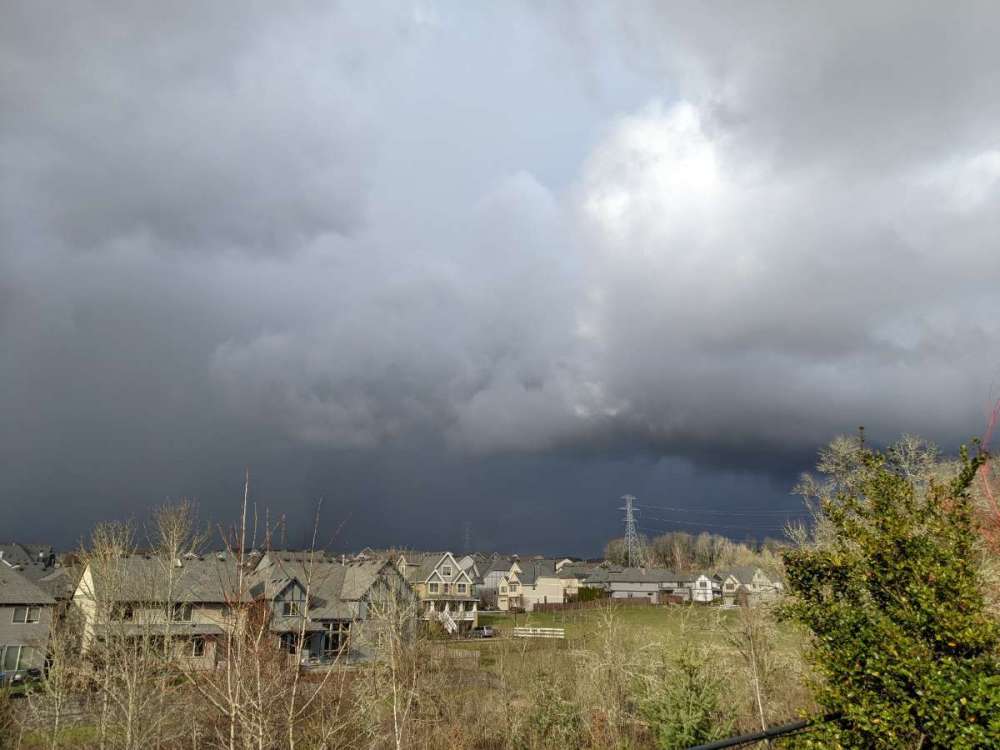
Checking in 68/52 with 3.39 in the bucket for the month Federal Way. Looked nice according to the Nest cam! I’m not missing the PNW and really don’t want to come home. Sounds like my yard is out of control according to my caretaker of the house…..ugh! Otherwise it’s been beautiful down here in the SW. it was just a bit nippy in this location earlier!
 10 points
 -
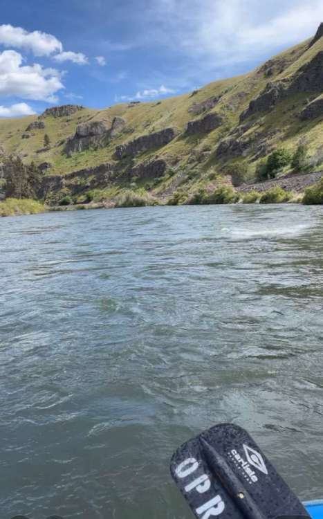
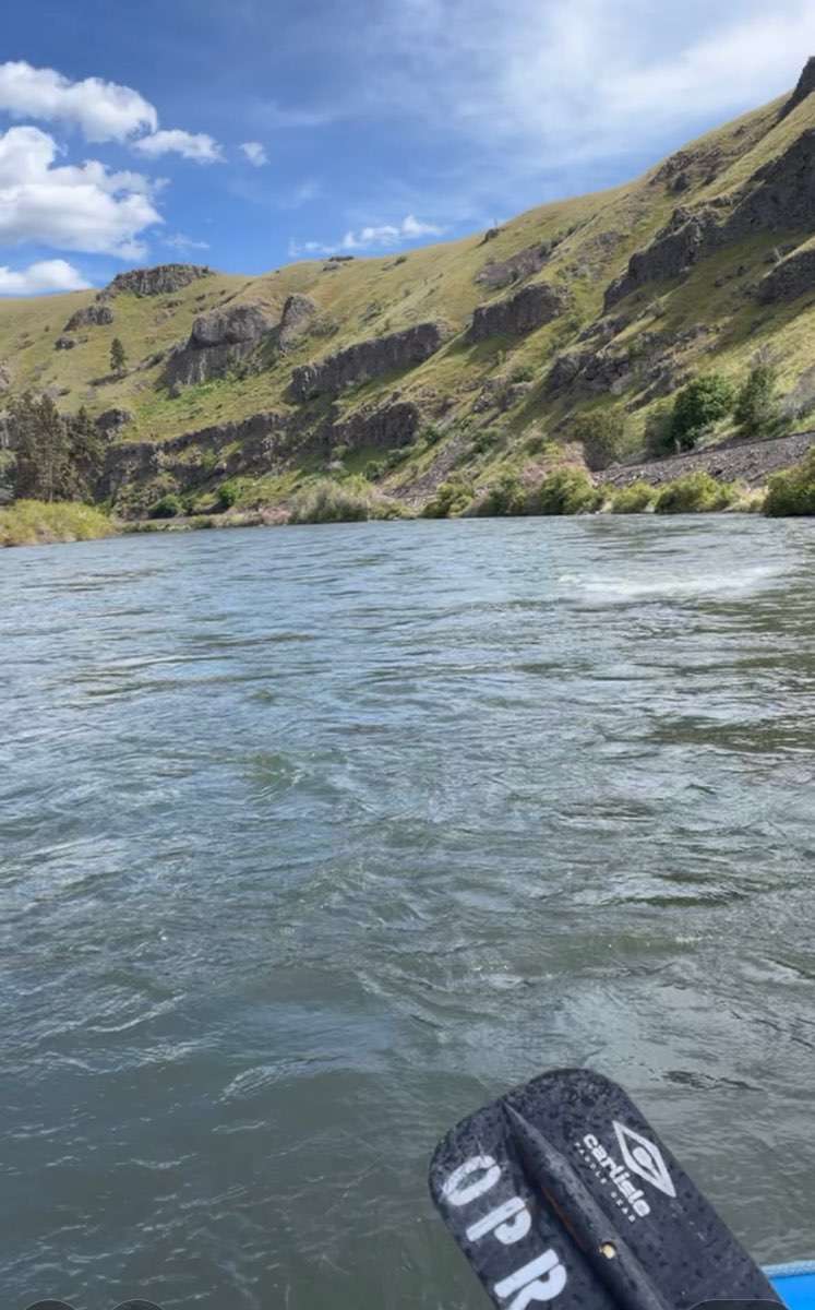
Floated the Yakima River yesterday. I heard Tim walks it everyday
 8 points
 -
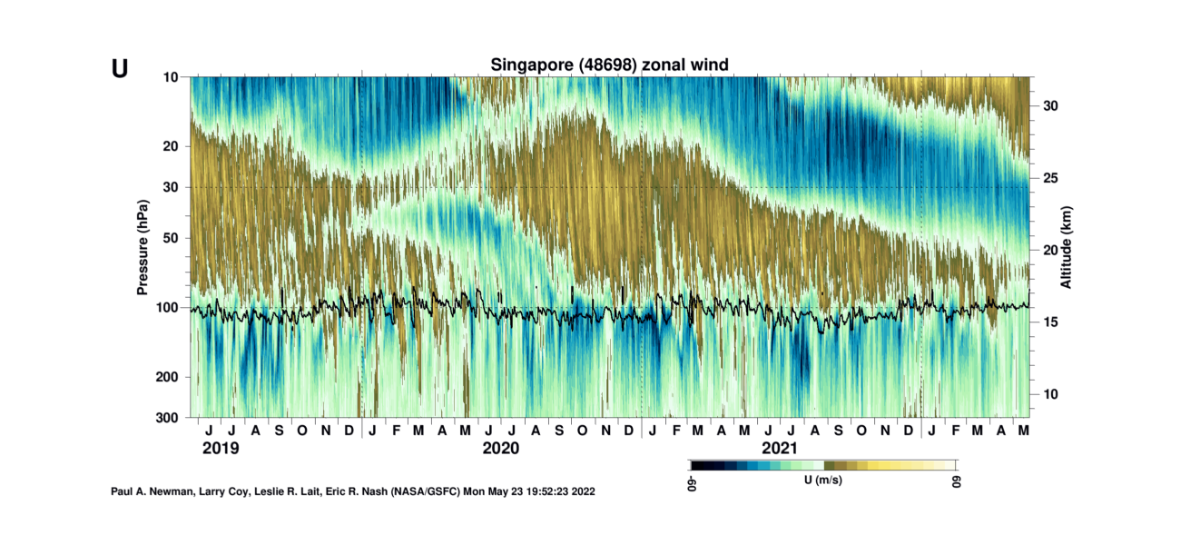
QBO is officially in the westerly descending phase. Barring any disruptions, this is literally perfect timing to maximize the -ENSO NPAC high connection next winter. Don’t want to jinx it, but the precursors to a cold western winter are all present.
 8 points
 -
Lol. When I refreshed and saw 2 unread pages in 2 hours, I had hoped the models were showing some AMAZING convective outbreak late this week. Should have known it was all about preferences and North Bend microclimates.8 points
-
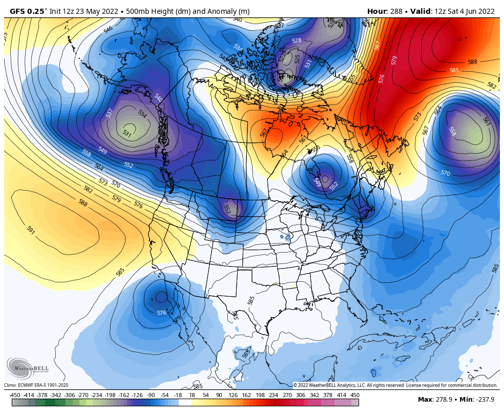
Early June troughing coming into focus
 8 points
 -
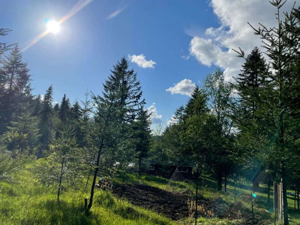
Really nice evening. Mid 60s up here with some afternoon clouds over the higher foothills.

 7 points
 -
It was a once in a generation type event.
 7 points
 -
Just had to explain to my roommate what the deal is on the forums. Now he wants a full on documentary on the preference wars7 points
-
Why dont you just livestream it right now?? We know you arent working7 points
-
So we're arguing where is valley floors now. God D**n I'm totally floored by the conversations today. How's that?7 points
-
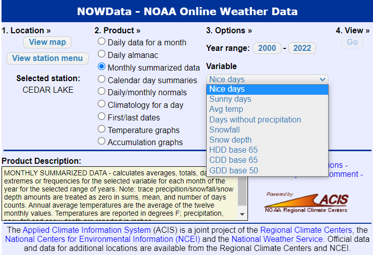
Tim looking up past climate info on Nowdata like
 7 points
 -
It is indeed much more nuanced. Cloudcover % corresponds heavily with precip totals. And like with your precip totals, your cloudcover % is similarly going to still be dramatically higher than the populated areas down at the valley floor. It rains harder and for longer. So maybe Fall City gets a few hundredths of an inch on a showery day where they still see 6 hours of sun. Meanwhile you saw 0.40" and got maybe 90 minutes of sun that day. Pretty common dynamic in the spring throughout the PNW. These things add up and make an obvious difference in perception. You like to broadbrush and try to paint a different picture, for whatever reason...7 points
-
Right, he acts like having a sprinkle at any point during a day automatically equates to day-long cloudcover, and seeing any amount of measurable precipitation being observed at a location automatically renders it a fair comparison to his.7 points
-
12z ensembles still looking good for another troughy period Thursday through the end of the month
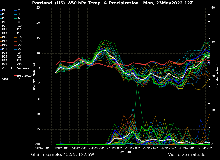 7 points
 -
April and May (so far) for Oregon and Washington. Uniformly cold up and down the I-5 corridor. The biggest difference seems to be east or west of the Cascades, especially in April. But if you look really closely you can see a patch of bright pink over Covington and burnt orange over Springfield.
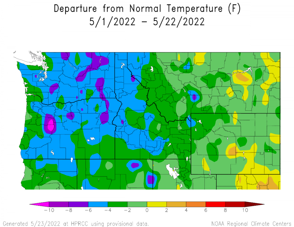
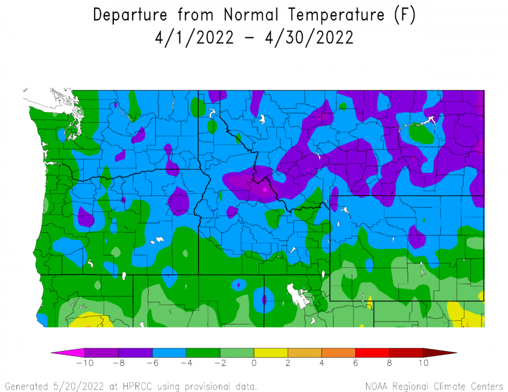 7 points
 -
Mid-60s highs, lower to mid-50s lows and rain this week is looking like the drill for me. Seattle, Oklahoma ladies and gentlemen. I'll probably cycle a furnace a few times after or starting today.7 points
-
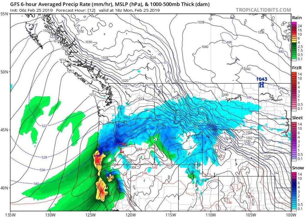
At least the 18z is an absolute thunderfest. Cutoff lows create pretty incredible dynamics.6 points
-
This is how I assume Tim descends Rattlesnake Ridge?6 points
-
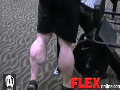
You knew it was gonna be good almost immediately, but I never thought it would get THIS good! Meanwhile, Tim’s wife’s calves! Omg!
 6 points
 -
Good god make this conversation stop please6 points
-
Probably not. Considering he still gets 3-4 times more rain in June than any of the cities in the EPSL. Just a statistical fact. You act like cloudy and dry is the default weather for all of King County in June and it simply is not.6 points
-
Seems like consensus has been building for another troughy period sometime in the first week of June, after a couple day break around the beginning of the month.6 points
-
Oh hell yes. Cold CONUS pattern with a supressed jet/4CH and building heights in NE Canada. One can hope! #VolcanicSummer2022
 6 points
 -
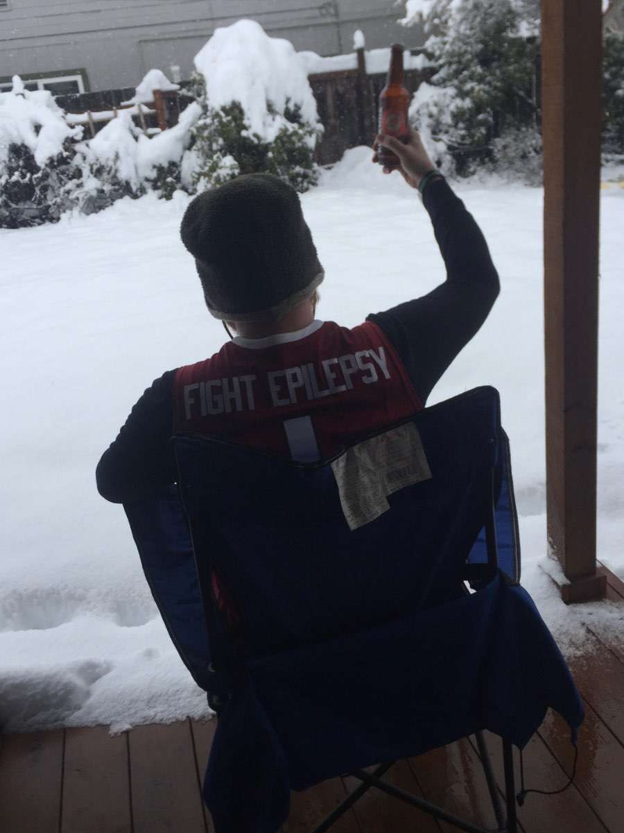
I wonder, how cold could temps have gotten had the February cold wave happened a month or two earlier? That was a nice event, the east winds were blowing a lot in my area. I had a few flurries of snow on the morning of the 24th, but not much. There were some interesting clouds the day before the cold came though.
 5 points
 -
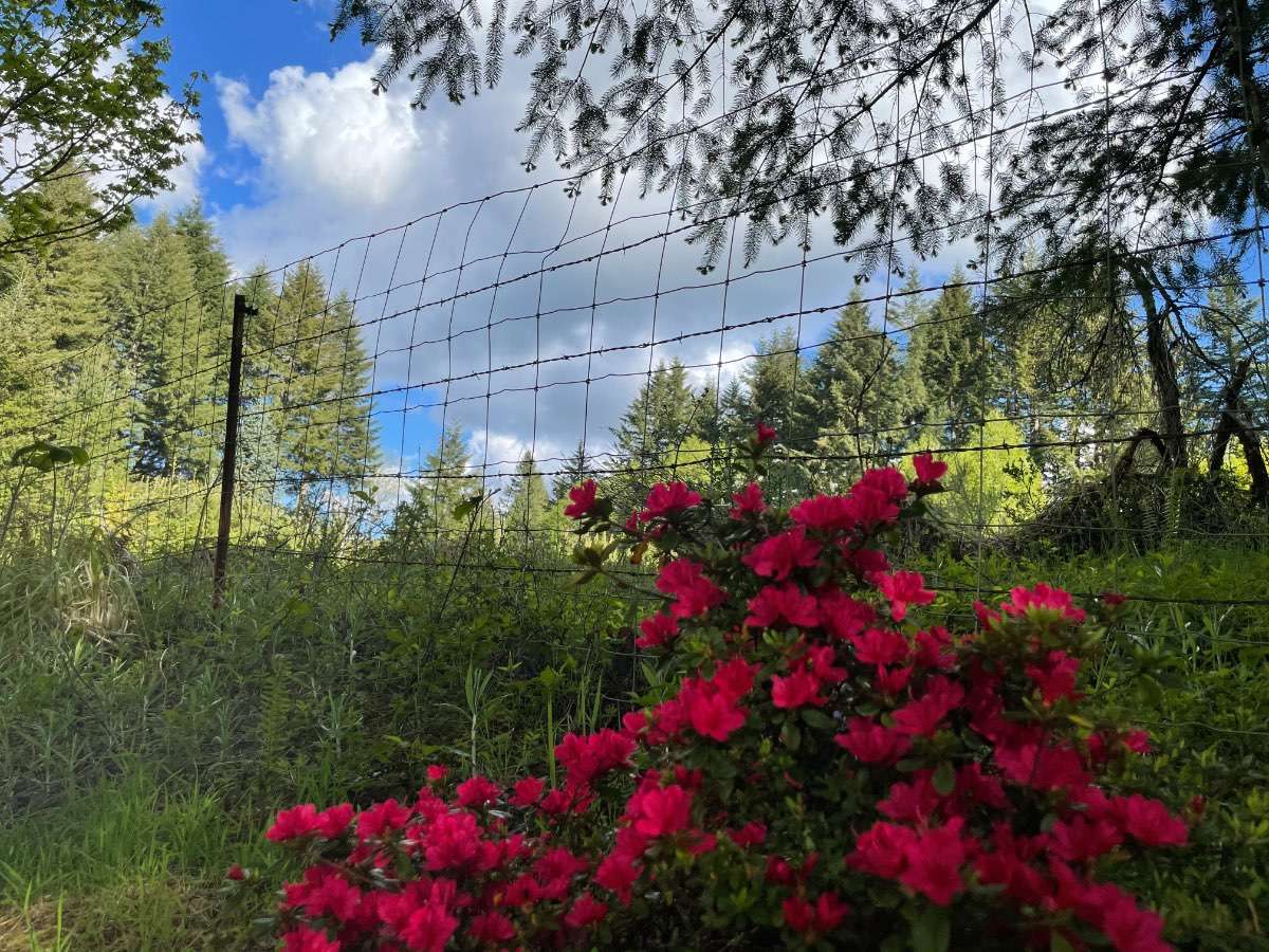
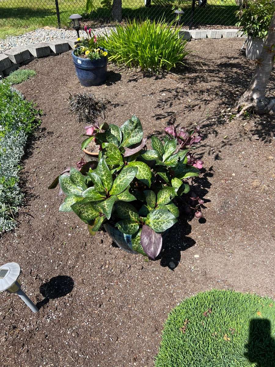
Not sure if we’ve had any plants join the preference wars, but our hellebore has weighed in in favor of the cool wet spring. This is by far the best it’s looked in the six or seven years it’s lived in that pot.
 5 points
 -
So 1.8 miles… or just under 3000m… and you claim your wife can walk this distance in about 10-12 minutes. Women’s 3000m speedwalking world record is 11:48. Either Tim’s wife is an Olympic level athlete, or Tim is exaggerating. Hmm… gonna go with Occam’s Razor here.5 points
-
When I was a kid, our dog ate some crayons. And the answer to the obvious question is yes, it did come out the other end colored.4 points
-
He's not stoned anymore but he's definitely loopy. Scared the daylights out of my poor mother, she thought he was having a stroke If you're gonna spark it up that's great but leaving your shit in the grass is just asking for trouble. Please, you know, have consideration for others. This extends to all littering4 points
-
Went down to our local brewery for some beers. It feels like a Friday football game night in late September or early October. Forecast now saying 1.0-1.5” tomorrow through Wednesday morning. Temps stay in the upper 40’s to low 50’s for highs until Thursday.4 points
-
Tim is a true Golden God.4 points
-
4 points
-
My preferences are that it isn't 116° degrees.4 points
-
1/10/17 was one for the ages when it comes to mid and upper level dynamics. Very east coast feel to the frontogenic orgy which occurred during that setup. As it was, it created fairly distinct line where the best dynamics occurred near and just south of DT Portland, carrying up through the west side of I-5 in Clark County.4 points
-
Wow over 100 new posts since the last time I checked in just a bit ago! Is there an arctic blast coming this weekend?4 points
-
The 12z EPS really shifted west with the heavy rain across NE and KS, esp E NE and E KS where 2-3” looking likely. Good soaking rains heading for the drought regions.4 points
-
A high pressure setup and sunny day on the valley floor will usually be a sunny day in the foothills/upslope obviously. But the rainy days are of a very different nature. Compare my location to Andrew's. Not an uncommon occurrence in the spring that I might get something like 0.08" in Corvallis, while Andrew gets closer to half an inch. Both count as a precip day. But we would have very different weather experiences.4 points
-
What you’re describing is orographic lifting, which will increase both cloud cover and precipitation. See it along the Appalachians all the time. Favored upslope areas are cloudier/wetter. Your location fits said description perfectly.4 points
-
4 points
-
Nice to see we’re at least starting to do a deep dive into the nuances of Tim’s microclimate. Will be VERY interesting to see where this goes.4 points
-
This is such a pointless dig.4 points
-
Both subtle and not so subtle trolling/preferences are alive and well this morning.4 points
-
Good lord4 points
-
Saturday looks really MOIST.4 points
-
I don't think it is bad luck. The airmasses which have produced sub-freezing highs up there have not penetrated as far south, and we also haven't had a lot of cold inversion days in winter these past few years.4 points
-
I want to thank the academy, my agent, my family and the rest of the cast for all of their love and support even when I didn't think I could make a forum topic, and I want to thank my mom for taking me to all of those forum topic making classes when I was a kid. This is for you guys!!!!!! Had a nice afternoon for soccer today, sunny and about 65-68 with clouds over the mountains. I heard the teams on the field next to us call for a water break. LOL! What the hell are they going to do when it gets 80+ this summer?!3 points
-
Last part of the journey been lazy with hotels but the one week down in Prescott I was at friends house with free lodging !!!! I have to say it was quite the adventure and already planning another!3 points
-
Yeah, 1992-93 was a really nice winter for most of the region and amazing for the Central WV. You guys really killed it in early to mid January while the gorge overpowered the PDX metro. We cleaned up a bit in December and had a few sloppy inches in late January. And then the February 18-19 storm was amazing for the whole Eugene to Portland corridor, stopping just to the north of here around Woodland. Actually that might have been the last storm that dropped 6"+ for the entire EUG to VUO region. February 2014 kind of managed it as well but that was spaced out between a couple events.3 points
-
Silver Creek Falls station averages 3.31" of precip in June. Snoqualmie Falls station averages 2.86" in June. Not sure why you act like it's always so dramatically colder/wetter throughout western WA.3 points
-
12z GFS is showing 2.16" here by the end of the month, that would put us well past our May record.3 points
-
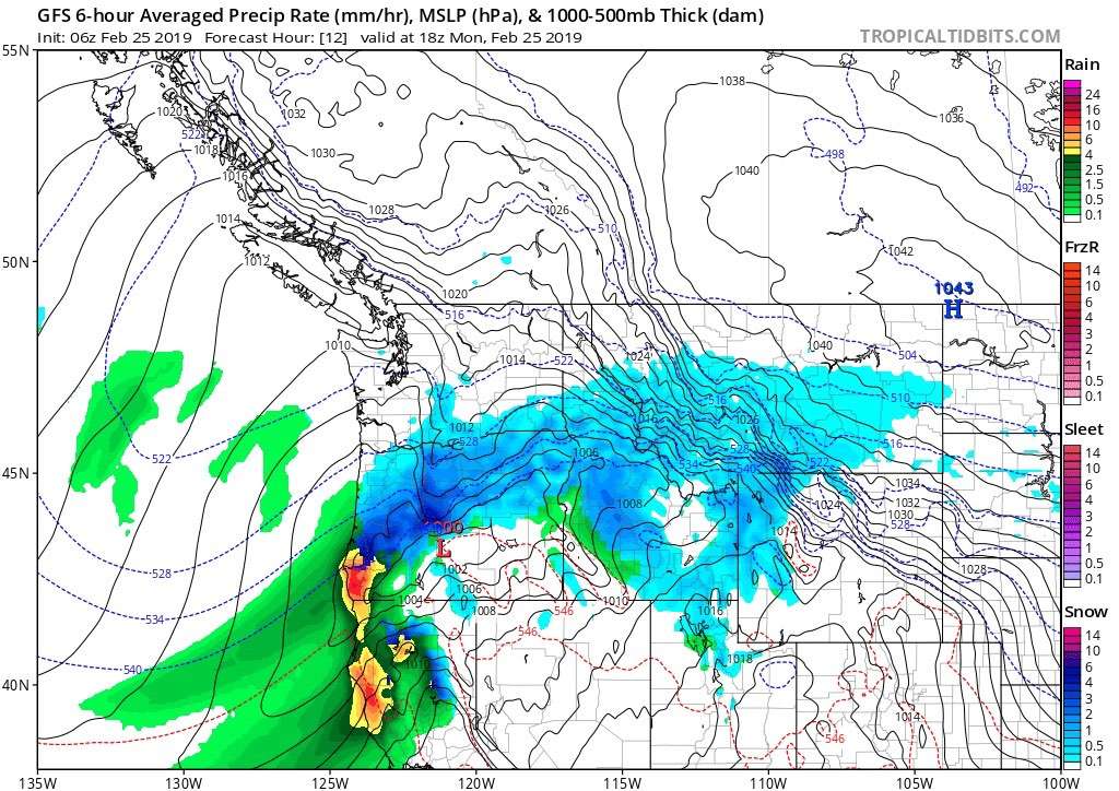
Models are shifting the midweek system westward. Unfortunately, that means the widespread 1-2+" rain band has shifted from eastern Iowa into central and western Iowa. Anything less than an inch would be a big disappointment.3 points


This leaderboard is set to Vancouver/GMT-07:00