

Requiem
-
Posts
6891 -
Joined
-
Last visited
-
Days Won
3
Everything posted by Requiem
-

January 2024 Weather in the PNW (Part II)
Requiem replied to Meatyorologist's topic in West of the Rockies
ICON looking very similar to its 12z run. Interesting theme showing up... -
January 2024 Weather in the PNW (Part II)
Requiem replied to Meatyorologist's topic in West of the Rockies
Won't say that it's impossible, but let's not pretend like this place already isn't weenieville with the "it's over for anyone north of Olympia" posts today -
January 2024 Weather in the PNW (Part II)
Requiem replied to Meatyorologist's topic in West of the Rockies
Who finds the NWS inaccurate? They use a variety of models and tools to determine their forecasts, with additional human input from folks who know the local microclimates and patterns (usually). They definitely have missed big events in the past, but I'm not sure where you're getting these big sweeping statements from -
January 2024 Weather in the PNW (Part II)
Requiem replied to Meatyorologist's topic in West of the Rockies
I'm in Eugene! -
January 2024 Weather in the PNW (Part II)
Requiem replied to Meatyorologist's topic in West of the Rockies
What seems apparent at the moment is we will have a moisture-laden system collide with frigid air. This is our setup, guys. We wait weeks and months every winter for fleeting chances like this, and as of now it seems like somewhere between Eugene and Bellingham will have a bonafide snowstorm. I think this is enough to be happy about for the current moment -
January 2024 Weather in the PNW (Part II)
Requiem replied to Meatyorologist's topic in West of the Rockies
I don't think it's too unreasonable-- the system is packing quite a bit of PWAT and drags additional moisture in with it. That being said I do think the GFS is overdoing precip, but these situations often end up dynamic as far as how much actually ends up falling -
January 2024 Weather in the PNW (Part II)
Requiem replied to Meatyorologist's topic in West of the Rockies
Best worst of the worst forum ever I'd say -
January 2024 Weather in the PNW (Part II)
Requiem replied to Meatyorologist's topic in West of the Rockies
I do like how moist the Euro is with that system-- not exactly our usual anemic system moving into strong cold outflow -
January 2024 Weather in the PNW (Part II)
Requiem replied to Meatyorologist's topic in West of the Rockies
All in all this will look similar to the 00z from last night -
January 2024 Weather in the PNW (Part II)
Requiem replied to Meatyorologist's topic in West of the Rockies
Pop quiz what do the NWS Portland use to determine their forecasts (hint it starts w an M and ends with an S) -
January 2024 Weather in the PNW (Part II)
Requiem replied to Meatyorologist's topic in West of the Rockies
Tonight? Probably a thump of heavy wet snow down to the sea level wherever that heavy band sets up (probably PDX metro). These situations are fairly dynamic lift-wise so precip rates will be high on the north side of the strengthening low. Just depends on how fast it starts sticking. -
January 2024 Weather in the PNW (Part II)
Requiem replied to Meatyorologist's topic in West of the Rockies
It's the moral grandstanding for me -
January 2024 Weather in the PNW (Part II)
Requiem replied to Meatyorologist's topic in West of the Rockies
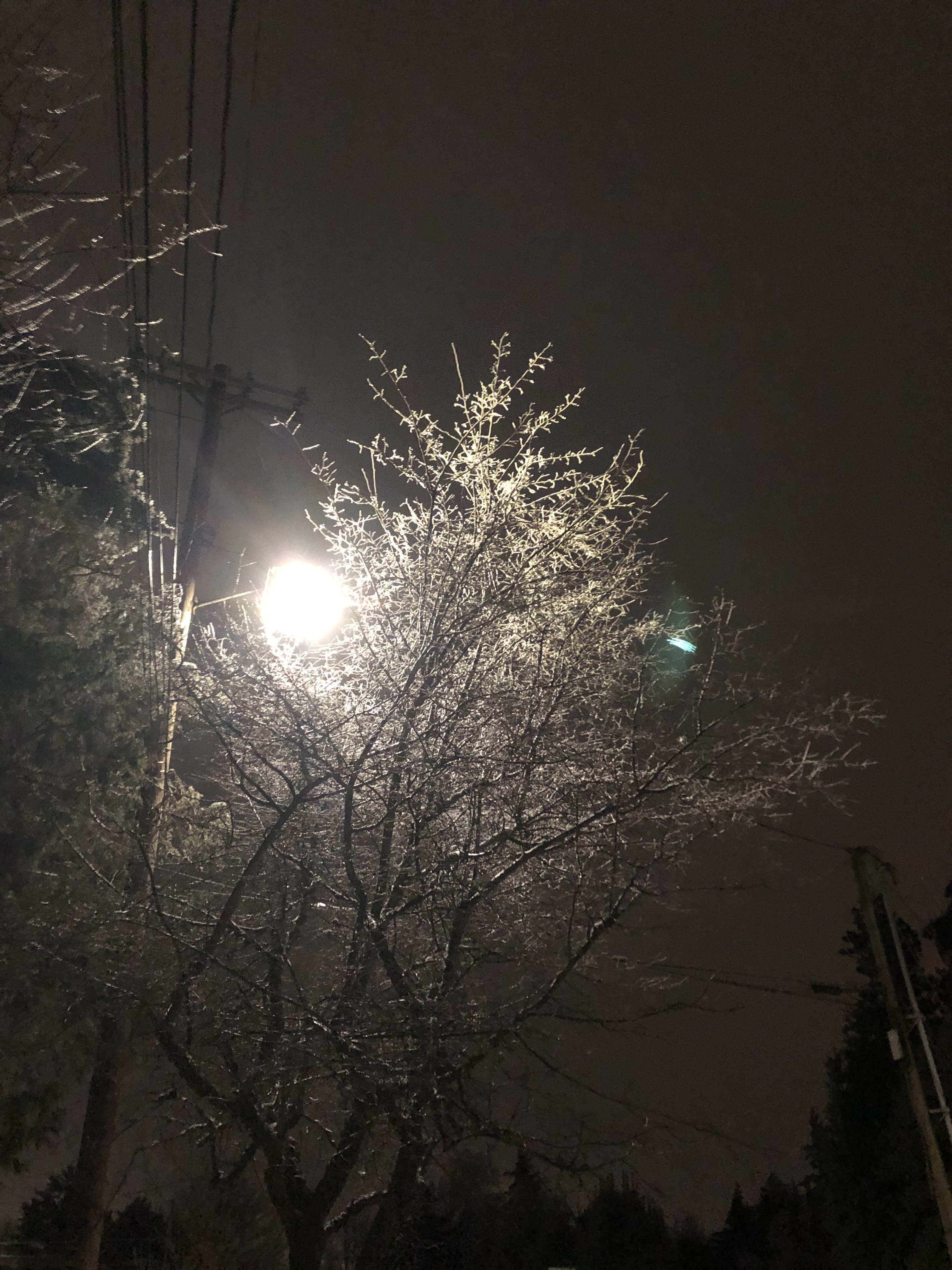
I think we'll get some ice this weekend. No snow, sadly, but Euro shows ZR followed by a pretty significant flash freeze type event. -
January 2024 Weather in the PNW (Part II)
Requiem replied to Meatyorologist's topic in West of the Rockies
ENSO and climatology goes way over my head-- that being said we've had recent "super Niños" that have ended up much wetter for the NW than CA-- and weak Niños that slam southern areas disproportionately -
January 2024 Weather in the PNW (Part II)
Requiem replied to Meatyorologist's topic in West of the Rockies
I feel as though the Niño climatology would favor ICON-level south, all the way into Southern Oregon or Northern CA -
January 2024 Weather in the PNW (Part II)
Requiem replied to Meatyorologist's topic in West of the Rockies
This run was brought to you by all the roof repair companies that'll be rolling in the dough after an inch and a half of metro ice -
January 2024 Weather in the PNW (Part II)
Requiem replied to Meatyorologist's topic in West of the Rockies
If the model solutions were switched there's no doubt many would be touting the "peerless accuracy of King Euro within 90 hours" -
January 2024 Weather in the PNW (Part II)
Requiem replied to Meatyorologist's topic in West of the Rockies
Models look good this afternoon, fellow Oregonians. Rooting for the EURO to moisten up a bit as that storm hits southern Oregon-- and I have no doubt the precip shield will extent well to the north a la February 2014. -
January 2024 Weather in the PNW (Part II)
Requiem replied to Meatyorologist's topic in West of the Rockies
Do you recall what the gradient was during the big veteran's day east wind event in November 2014? -
January 2024 Weather in the PNW (Part II)
Requiem replied to Meatyorologist's topic in West of the Rockies
How the hell is the GEFS worse? Does it align itself with the operational to such a degree? We'll wait for 12z runs, I suppose. -
January 2024 Weather in the PNW (Part II)
Requiem replied to Meatyorologist's topic in West of the Rockies
Feels like a bit of a south shift, actually. Bodes well for Portland-Seattle -
January 2024 Weather in the PNW (Part II)
Requiem replied to Meatyorologist's topic in West of the Rockies
ICON is on its own but some model suite is going to end up being remarkably wrong come late week -
January 2024 Weather in the PNW (Part II)
Requiem replied to Meatyorologist's topic in West of the Rockies
Whoa! We went way south this run-- don't particularly expect that but it doesn't seem like areas south of PDX are off the hook yet -
January 2024 Weather in the PNW (Part II)
Requiem replied to Meatyorologist's topic in West of the Rockies
Tentatively ICON is going further south -
January 2024 Weather in the PNW (Part II)
Requiem replied to Meatyorologist's topic in West of the Rockies
classic looking storm


