macminey2
-
Posts
7 -
Joined
-
Last visited
Recent Profile Visitors
173 profile views


macminey2's Achievements
")


-
3/24-3/27 Midwest/Plains Colorado Low(s)
macminey2 replied to Minny_Weather's topic in East of the Rockies
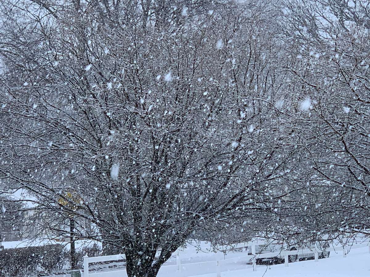
DMX having to deal with rain / snow line. Heavy snow falling right now, and from 1/2 inch "little or no" wording, to 2-4 inches in last forecast update. Will see if this lasts or changes to rain. **update - switching over to rain now 15 minutes after this was taken. Oh well that was fun while it lasted**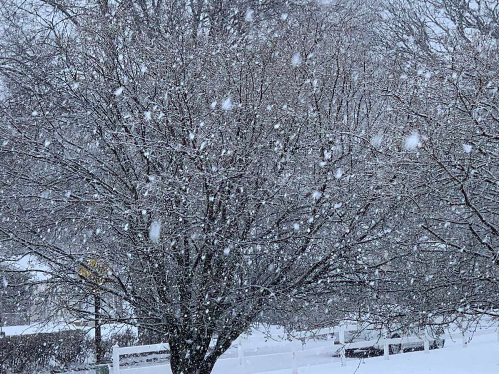
-
3/24-3/27 Midwest/Plains Colorado Low(s)
macminey2 replied to Minny_Weather's topic in East of the Rockies
From DSM discussion regarding north / south solutions, that line about thunder is intriguing. Either way, I hope we all get in on some lucky thundersnow. ...The EC is slower with more emphasis on the southern stream of the trough, while the GFS has a more northern stream influence, ejecting the surface wave nearly 18 hours faster. These model differences result in low confidence in details, and precipitation types could change several times from snow initially, over to rain as warming continues, and then back to snow again as system exits. Some thunder is anticipated as well.. DSM discussion 1243 PM CDT Wed Mar 20 2024 -
January 11-13 Major Winter Storm/Blizzard
macminey2 replied to Hoosier's topic in East of the Rockies
Never seen that before on the map! Wow.
-
DMX just expanded the Winter Storm Warning area quite a bit to the north in IA.
-
April 2nd-5th. Severe Weather Outbreak Round 2
macminey2 replied to Clinton's topic in East of the Rockies
Looks like a significant widening of the spc northern “moderate risk” zone. To including more of central Iowa. Surprised I’m under a tornado watch though - just doesn’t feel likely here in NW / NCentral IA. -
1/28 - 1/29 Weekend Snowstorm - Plains/MW/GL
macminey2 replied to bud2380's topic in East of the Rockies
This is turning out to be quite the after party.