Jarod
-
Posts
37 -
Joined
-
Last visited
Recent Profile Visitors
468 profile views


Jarod's Achievements
")


-
Probably around 4" of really fluffy lake effect here in Hudsonville this morning
-
Poll: how much snow do you think you’ll get?
Jarod replied to OmahaSnowFan's topic in East of the Rockies
I think the lake effect will kick in here and there to give me decent overall totals, although maybe no big events. I'll go with 20", although one good setup might exceed that -
@tStacshGetting on and off partial sun here in the Hudsonville area. But yeah I'm ready for a real sunny day.
-
Pre-Christmas Storm Plains/MW/GL 12/21-12/22
Jarod replied to bud2380's topic in East of the Rockies
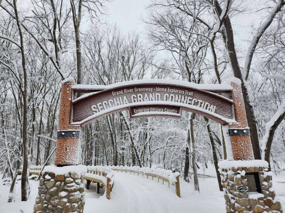
I'm going to have to get up to Sleeping Bear Dunes in the next couple of days before all the snow starts melting. Should be some decent snowshoeing, unless they didn't get enough snow that close to the lake ... or it all blew away. Anyone know of some other good places to go snowshoeing up there? -
Pre-Christmas Storm Plains/MW/GL 12/21-12/22
Jarod replied to bud2380's topic in East of the Rockies
Radar returns are actually now probably the most impressive they have been for the whole les event so far. Updated discussion from NWS GRR. 000 FXUS63 KGRR 242040 AFDGRR Area Forecast Discussion National Weather Service Grand Rapids MI 340 PM EST Sat Dec 24 2022 LATEST UPDATE... Discussion/Marine .DISCUSSION... (This evening through next Saturday) Issued at 340 PM EST Sat Dec 24 2022 Radar is showing more of a laminar and larger scale look to the snowbands farther inland close to US-131 compared to a more chaotic smaller cell appearance closer to the lakeshore. Inland penetration is also far greater. This suggests the development of a standing (or perhaps slowly downstream propagating) gravity wave. The genesis of this wave could be related to recent changes in our convective boundary layer (CBL) depth (currently around 6000 ft, per the GRR 88D, compared to twice that this morning), and slightly weaker CBL mean flow (now 30 kt or less). Remarkably, we are now also detecting bands as far north as the US-10 region including Osceola and Clare Counties. Increased depth is to be expected in conjunction with the increased band width and spacing. This will make dangerous travel conditions even worse into this evening due to very drastic changes in winds and visibility compared to what most have experienced earlier today. Indeed, we are seeing this at the office with periodic drops to near zero visibility and elevated winds beneath these bands. We will see how this plays out in the next few hours. One thing that's been discussed in replacing the blizzard warning with an advisory at 7 PM that would go until 7 PM Christmas day, likely for just the western two tiers of counties closest to the lakeshore. Stay tuned for that. -
Pre-Christmas Storm Plains/MW/GL 12/21-12/22
Jarod replied to bud2380's topic in East of the Rockies
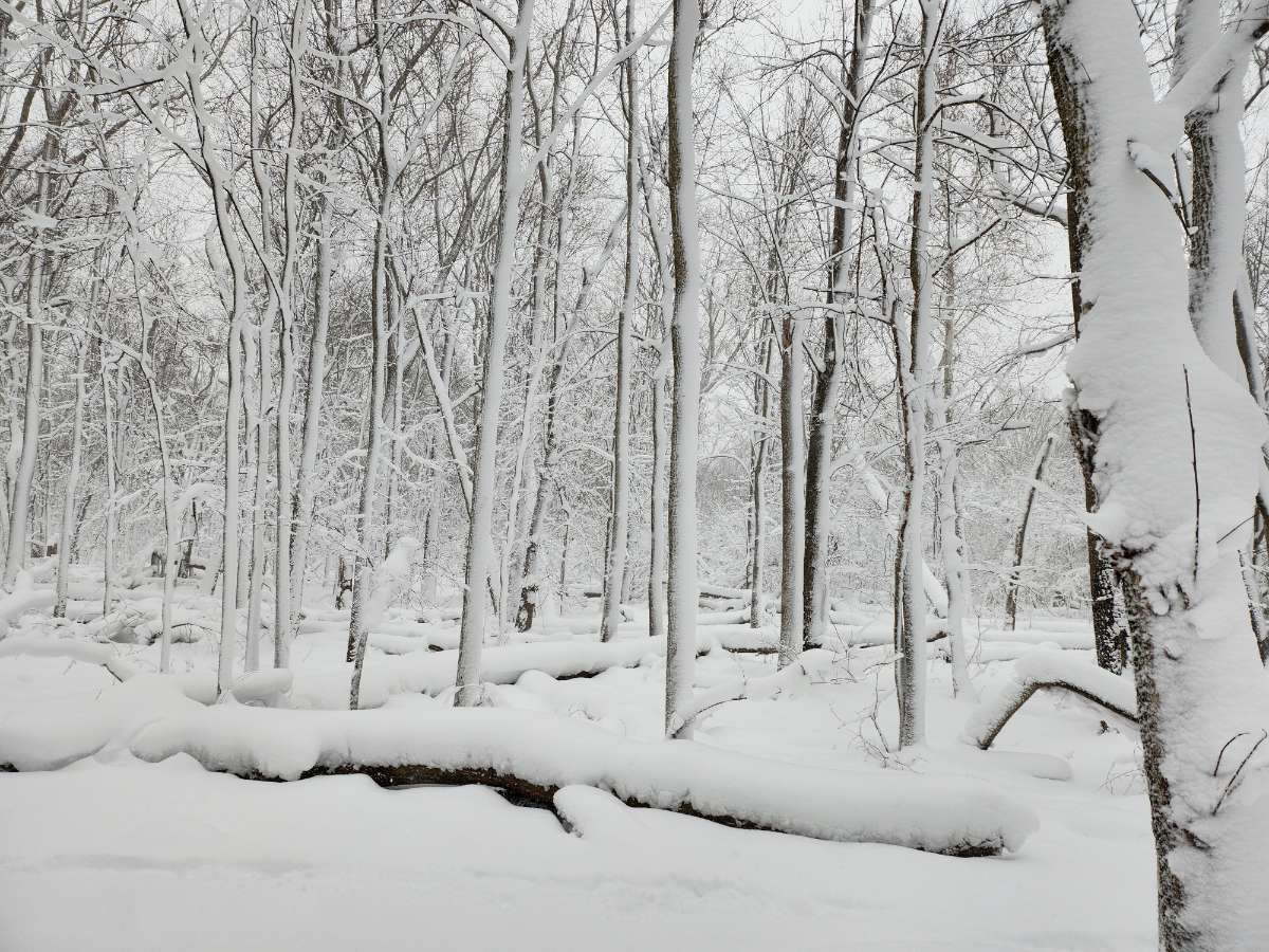
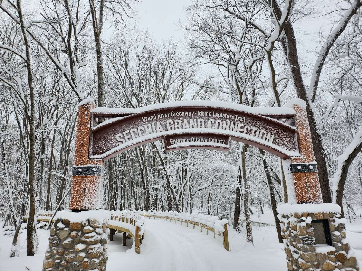
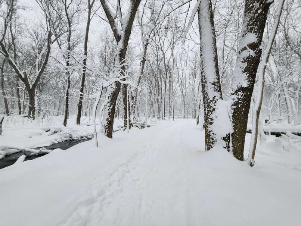
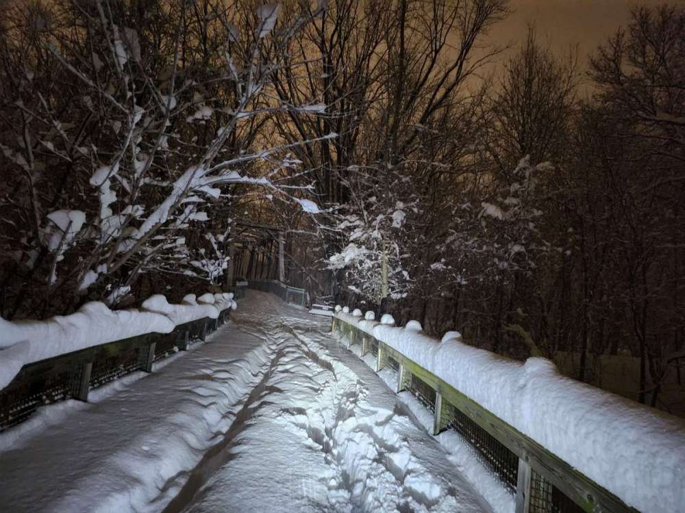
Went snowshoeing on Kent trails behind my place for a few hours. Snowshoes weren't strictly necessary since someone had taken a snowmobile down the trail but it was helpful to have some extra traction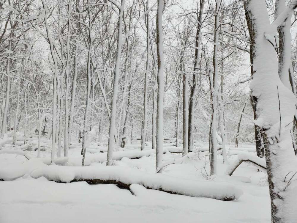
-
Pre-Christmas Storm Plains/MW/GL 12/21-12/22
Jarod replied to bud2380's topic in East of the Rockies
At least a foot here in Jenison. Flakes coming down now are much larger than before. -
Pre-Christmas Storm Plains/MW/GL 12/21-12/22
Jarod replied to bud2380's topic in East of the Rockies
I'm blaming you if this goes west of here. Then again, i have the rest of the year off of work after Tuesday, so maybe I should just temporarily relocate to where ever is supposed to be hit the hardest -
Pre-Christmas Storm Plains/MW/GL 12/21-12/22
Jarod replied to bud2380's topic in East of the Rockies
Personally I'm hoping we don't get a blizzard warning even it it looks likely. There has been some discussion of the last blizzard warning here in GRR. I am fairly certain we had back to back years (2010 & 2011?) of blizzard warnings where the system only gave us rain or a tiny bit of snow. Once the blizzard warning expired we cleaned up on the back side lake effect. I want to see a full on blizzard sometime, but I think a Blizzard warning will jinx it. Of course there is plenty of time for it to miss us completely or fall apart. Usually seeing the models give us great numbers now is a bad sign for where it actaully ends up ... -
I'm in Jenison right off the Baldwin exit, so i can easily get to Kent trails. I used to be in Hudsonville.
-
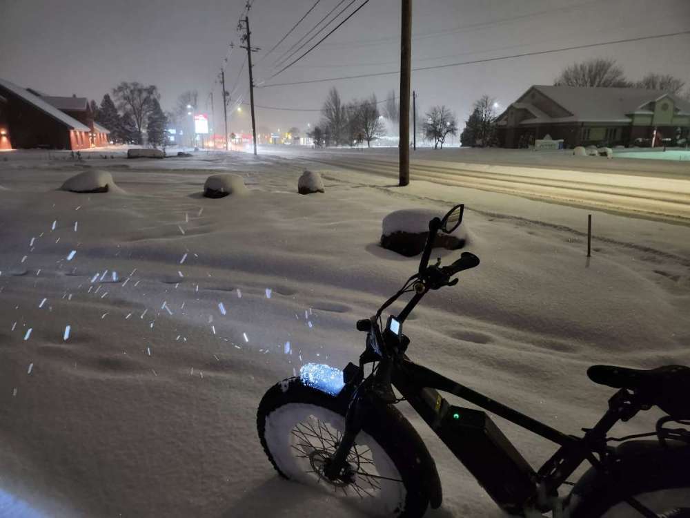
I was on my fat ebike actually. Worked great until the chain froze up and the battery died before I could make it back ... Snow was a little too deep.
-
Got to be close to a foot or more
-
Lookong at the radar, snow is picking up in intensity again too
-
Doing well over here too. I don't have a good spot to measure though
-
December 2022 Observations and Discussion
Jarod replied to Iceresistance's topic in East of the Rockies
GRR NWS is pretty optimistic too.