
SilverFallsAndrew
-
Posts
56170 -
Joined
-
Last visited
-
Days Won
400
Everything posted by SilverFallsAndrew
-

January 2019 Weather in the Pacific Northwest
SilverFallsAndrew replied to Requiem's topic in West of the Rockies
At the lower levels it doesn't always warm up that much after warm frontal passage in the absence of solid mixing, but above 1500' that would be a very warm day. The models/ensembles have been consistently showing that next Tuesday/Wednesday will be warm, so I don't know why this is bothering people. Other than you obviously timed posting this just to mess with people. -
January 2019 Weather in the Pacific Northwest
SilverFallsAndrew replied to Requiem's topic in West of the Rockies
I could see those temps verifying if the pattern verified verbatim. Especially at the higher elevations. At the lower elevations it would depend on how much low level cold hung on or mixing there was. -
January 2019 Weather in the Pacific Northwest
SilverFallsAndrew replied to Requiem's topic in West of the Rockies
So obvious it's not even worth pointing out. On the other hand if I get some snow over the next few days during this dud of a winter, I could really care less if it melts in an afternoon. -
January 2019 Weather in the Pacific Northwest
SilverFallsAndrew replied to Requiem's topic in West of the Rockies
Speaking of torching...Just took a look at Western Oregon obs right now. -
January 2019 Weather in the Pacific Northwest
SilverFallsAndrew replied to Requiem's topic in West of the Rockies
Yeah next Tuesday is going to torch in Western Oregon. As that warm from lifts north warm air aloft surges in and with possible sunbreaks in the afternoon it could be pretty warm. Wednesday is probably cooler as the precip moves back onshore and temps aloft begin to cool as the trough approaches. -
January 2019 Weather in the Pacific Northwest
SilverFallsAndrew replied to Requiem's topic in West of the Rockies
Yes, at face value it is a pretty good setup for them. I don't see much of a chance for actual snow accumulations (Despite great GFS snow maps) at the valley floor anywhere south of Portland except west valley perhaps. -
January 2019 Weather in the Pacific Northwest
SilverFallsAndrew replied to Requiem's topic in West of the Rockies
72-96 hour period has similar amounts of snow for our locations. That period is probably rain to snow here, and then hour 96-120 here would probably be snow to rain. -
January 2019 Weather in the Pacific Northwest
SilverFallsAndrew replied to Requiem's topic in West of the Rockies
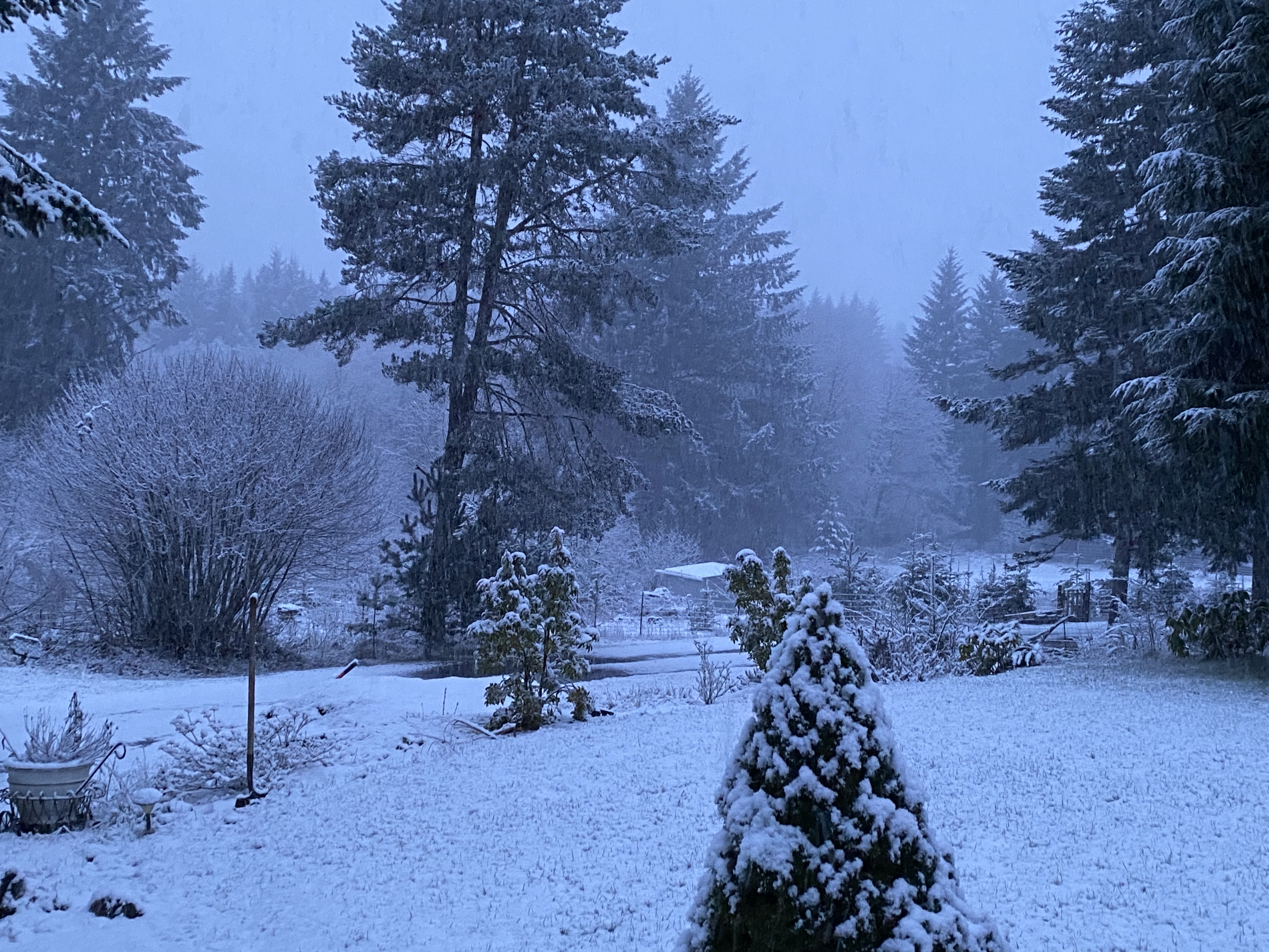
Cushman Lake is buried... -
January 2019 Weather in the Pacific Northwest
SilverFallsAndrew replied to Requiem's topic in West of the Rockies
The next low Tuesday morning is still throwing up that deformation band over W. Oregon up into W. Washington. At face value could be good for West Valley (Forest Grove) locations, and SW WA/Hood Canal. -
January 2019 Weather in the Pacific Northwest
SilverFallsAndrew replied to Requiem's topic in West of the Rockies
522 thickness line into Clark County while NE Washington gets pounded with snow. Would not surprise me to see some lowland snow somewhere north of this low or once it passes. -
January 2019 Weather in the Pacific Northwest
SilverFallsAndrew replied to Requiem's topic in West of the Rockies
That track is probably a wind event Albany-south... -
January 2019 Weather in the Pacific Northwest
SilverFallsAndrew replied to Requiem's topic in West of the Rockies
18z would probably produce a quick 1-2" of snow up here Sunday morning, but the low Sunday night is pretty D**n interesting. Snow levels would get very low on the backside of this low if precip really hangs around like this and cooler air aloft floods in. -
January 2019 Weather in the Pacific Northwest
SilverFallsAndrew replied to Requiem's topic in West of the Rockies
18z NAM landfalls a low on the Northern California Coast Sunday night. To the north of the low appears to be a very heavy band of snow over the Umpqua Valley. Pretty chilly air to the north of the low. -
January 2019 Weather in the Pacific Northwest
SilverFallsAndrew replied to Requiem's topic in West of the Rockies
On occasion I battle these temporary bouts of sanity. -
January 2019 Weather in the Pacific Northwest
SilverFallsAndrew replied to Requiem's topic in West of the Rockies
I've been about as pessimistic as anyone this winter and it has been a true dud. But if there is any time to be optimistic we might see something interesting, that time is now. We are entering an active pattern that could hold a few surprises. I really doubt we see a true regional event this winter, but a Hood Canal snow, or PDX Gorge event, anafront south valley snow, or quick 6" overrunning event at Bellingham wouldn't surprise me. I usually only care about what happens at my place, but I would love to see Seattle, or Vancouver, or wherever get a nice event even if I miss out. There just won't be much to go around this year. -
January 2019 Weather in the Pacific Northwest
SilverFallsAndrew replied to Requiem's topic in West of the Rockies
The WRF is totally worthless. The EURO on the other hand does show quite a bit of snow for Timmy and mine's locations. For W. Washington the GFS is probably the best case scenario, looks like a good Hood Canal setup. The operational runs aren't on board with another real cool shot around the 10th/11th, but some ensembles look pretty good in that period. All models and the ensembles show a warm up around the 8th. -
January 2019 Weather in the Pacific Northwest
SilverFallsAndrew replied to Requiem's topic in West of the Rockies
Pretty awesome. I cannot wait for my 8 days in Arizona in March. -
January 2019 Weather in the Pacific Northwest
SilverFallsAndrew replied to Requiem's topic in West of the Rockies
The 12z ensembles are about 3C cooler around the 10th/11th. At 16z on the 10th the warmest member is +2.5C the coldest -8.5C at PDX. -
January 2019 Weather in the Pacific Northwest
SilverFallsAndrew replied to Requiem's topic in West of the Rockies
F this. I hope it busts. -
January 2019 Weather in the Pacific Northwest
SilverFallsAndrew replied to Requiem's topic in West of the Rockies
Plenty of snow at 1600'. -
January 2019 Weather in the Pacific Northwest
SilverFallsAndrew replied to Requiem's topic in West of the Rockies
Going to be big ensemble improvement around the 10th/11th. -
January 2019 Weather in the Pacific Northwest
SilverFallsAndrew replied to Requiem's topic in West of the Rockies
Looks like the GFS ensemble mean bottoms out Sunday morning at about -4C at PDX. -
January 2019 Weather in the Pacific Northwest
SilverFallsAndrew replied to Requiem's topic in West of the Rockies
That 528 thickness line plays footsie with Eugene a few times. -
January 2019 Weather in the Pacific Northwest
SilverFallsAndrew replied to Requiem's topic in West of the Rockies
Hour 96 is a quick shot of heavy snow up here. Then hour 120 deformation band lifts north snow to rain across W. Washington. -
January 2019 Weather in the Pacific Northwest
SilverFallsAndrew replied to Requiem's topic in West of the Rockies
That's some solid snow for Timmy and I.
