

Joshua Lake Oswego
-
Posts
1005 -
Joined
-
Last visited
-
Days Won
1
Everything posted by Joshua Lake Oswego
-
 The QPF king (ICON) keeps Portland almost entirely dry tomorrow on the 18z.
 -
I would kill for any organized front at this point regardless of precipitation type.
-
The highest resolution model there is depicts the most likely scenario. Swing and a miss for Portland. 1-3’’ elsewhere from Eugene to Wilsonville.
-
The only model left that gives PDX meaningful QPF tomorrow afternoon and evening is the GRAF. I think the best we can hope for up here is 1-2 spotty inches. Most areas will get skunked or get very little. Better odds south of us, but I am not convinced that anybody from Eugene to Salem will score big either. Much better odds at a widespread couple of inches though in my opinion. Thursday sure looks cold for the Portland area either way.
-
Not looking good for Portland. The FV3 is great for QPF in my experience just like the ICON. It's going to be too dry when it matters.
-
This is how I picture things playing out…
-
ICON still pushing the north and northwest of Clackamas County snow during the day on Wednesday agenda.
-
The RGEM is still trash for Portland.
-
I don’t think it will actually play out this way. I think this is a Willamette Valley event. Too little QPF when it matters for the Portland area.
-
The Clackamas County dome in full effect.
-
I have commented a couple of times about it on Mark’s blog. Trying not to be as much of whiner anymore. Suffice to say, I have been extremely disappointed with our weather since early January.
-
Can we just get some dang rain please. I’m tired of these long dry streaks in our wettest months.
-
Believe! Trust me, I’m a doctor.
-
True story
-
Dryyyyyyyyyyyyyy
-
Fool me once, shame on you. Fool me 47 times, shame on me.
-
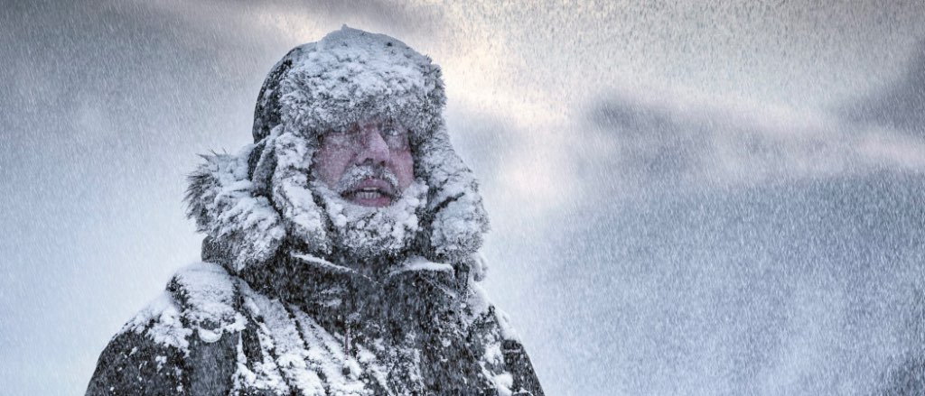
Here comes the ZR
-
Close to being a home run for Seattle. 50-100 miles more south…
-
The 6z Euro showed the northward migration as well.
-
The 12z ICON and hi-res GEM are very good for Washington. That swath of QPF that was once aimed at the Willamette Valley has migrated north. As the low moves east and it says though Portland, it’s too warm and weak for more than some light cold rain. Brutal.
-
Guys, it can’t snow if there is no precipitation. The GFS has been right for the last 6-8 runs. There’s very little QPF to work with. Every system keeps getting neutered, split, or goes 8 million miles north. A tale as old as time.
-
The GFS nailed the ''impossible'' heatwave of June, 2021 well in advance of other models. When the GFS is stubborn as heck, it is usually correct.
-
Way too dryyyyyyy
-
Where the heck did all the precipitation go on the GFS and ICON? GFS led the way again. Been showing this solution for a few runs now. GEM and Euro are way wetter. If we can count on one thing, it’s that the warmer and drier model is correct.
-
Seattle folks, pray to your newest God, the UKMET…


