Doinko
-
Posts
5642 -
Joined
-
Last visited
-
Days Won
9
Everything posted by Doinko
-
It was really a great storm. And the sun + subfreezing high on Feb 23rd was great. Also I enjoyed watching your forecast videos going up to that event, they were very detailed and informative
-
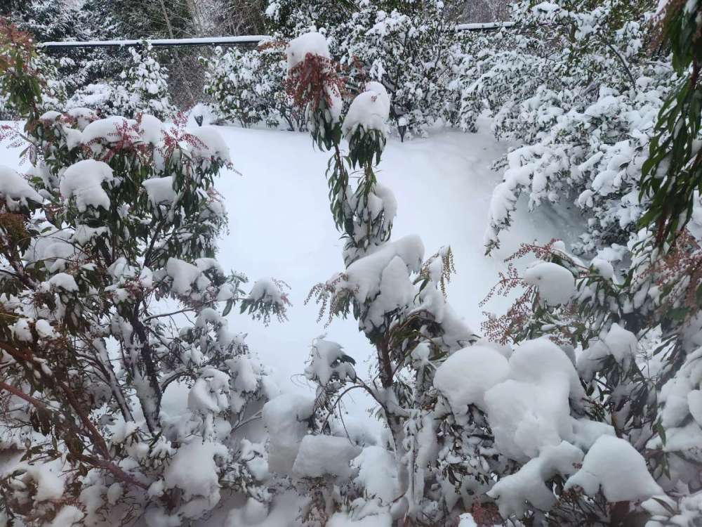
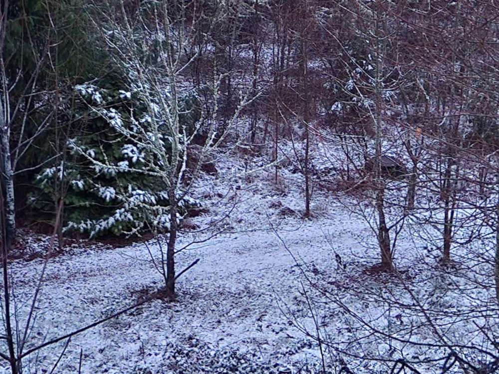
Started snowing around this time a year ago. At this point parts of Portland already had received a foot of snow, so I was bit disappointed when we had 2" from the first wave and precip stopped. But then some extremely heavy snow overnight brought us up to 6-7" of powdery snow. And then a subfreezing high on the 23rd! 20230222_170815.mp4 20230222_170815.m
- 8823 replies
-
- 13
-

-

-
Snow in the 20s for the south/central Willamette Valley at the end of the run
-
Down into the teens in part of NW WA
-
Really active at the end
-
-
What were the snows like the previous month for the Portland area? It looks like Salem did very well on 11/30 and 12/1, and PDX recorded around an inch and a half starting December.
-
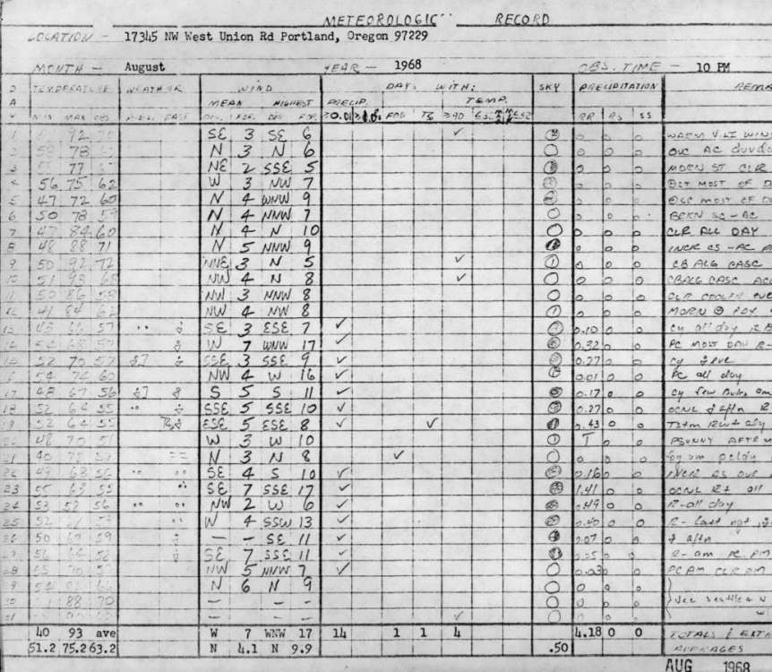
The short-lived Bethany station really close by to here had data from 1967-1969. August 1968 looks amazing, a low of 40 one day and over 4" of rain IPS-B82A4756-4543-4EAF-986A-E2E073625BAF.pdf
-
I haven't experienced a truly cool PNW summer, I moved here in 2012 (from Austin, TX which had just seen a record warm summer in 2011). Hoping we see one this year.
-
To be fair, a lot of areas around downtown Seattle also didn't see much last winter. Hopefully the south/central valley can see some good snow in the next few years. That ice number is crazy
-
Huge snows for the Oregon Cascades
-
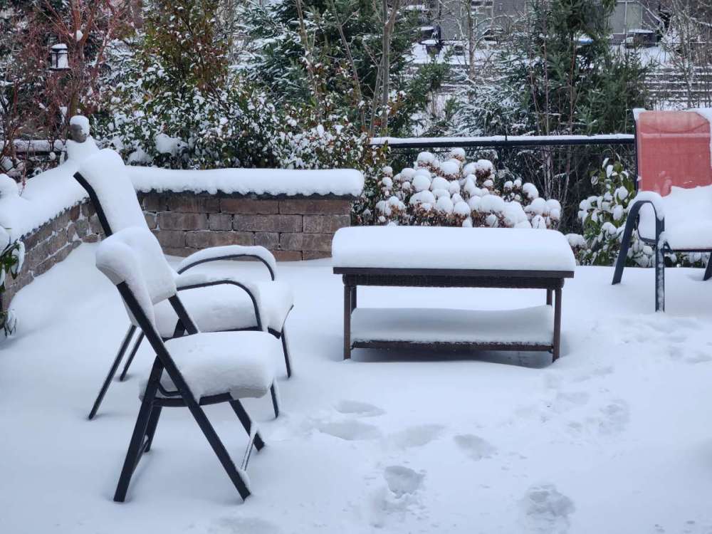
1 month ago today, still solid snowcover on roads. The snow on roads lasted for over a week at least in side streets, I think the freezing rain on 1/16 and light glaze on 1/18 helped it stay longer. I was surprised at how well it lasted though even with temps above freezing and rain

-
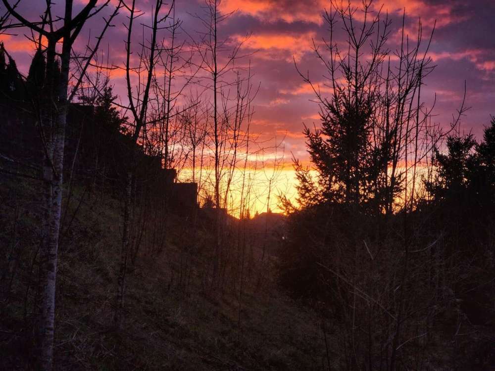
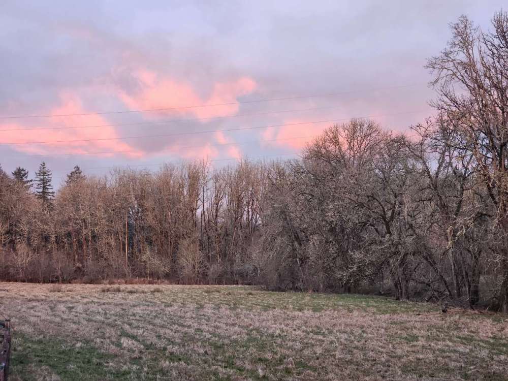
Down in Philomath today. On the way there was a great sunrise with rain/mist/fog to the west and then the sun peaking through from the east with the foothills visible.
-
PDX got close last year, a low of 18 on 2/25
-
Even then, January 1974 was pretty great. 7 subfreezing highs in a row at PDX, and Salem got down to 6 degrees
-
Power just went off for like 10 seconds and came back. Surprisingly that didn't happen in the January snow/wind storm, we were lucky to keep power throughout. Really windy today though, lots of fallen trash cans
-
Really breezy right now, some loud gusts at times
-
This model shows some as well, maybe we'll see some snow in the air overnight
-
Up to 40 from 38 earlier. Very windy and rainy though
-
LR GFS looks fun

-
How much did the immediate downtown area get in February 2019/2021?
-
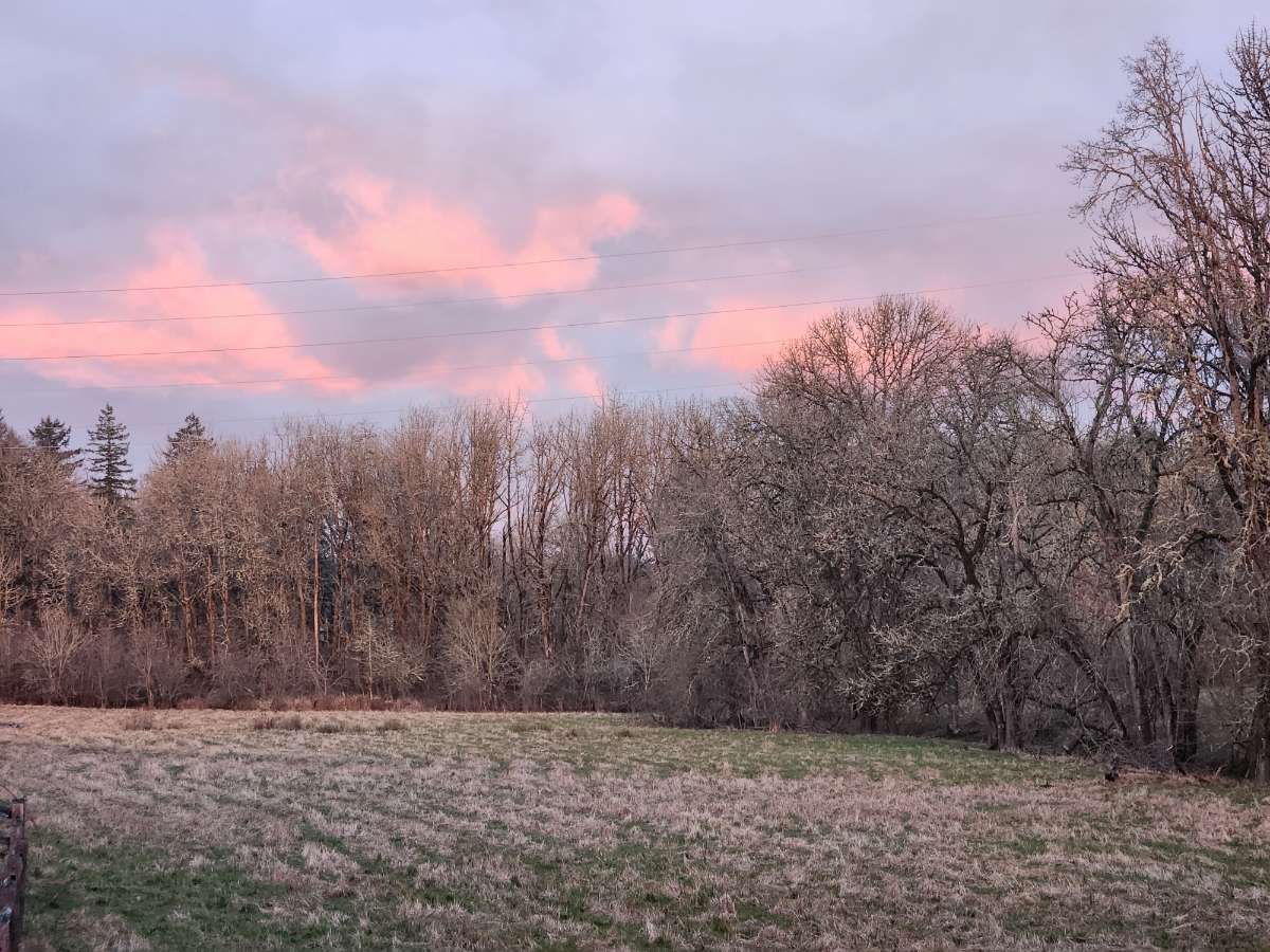
And a really nice sunset that day
-
Snowed about a half inch a year ago, a week before the big storm
-
High-end (95th percentile) snowfall totals approach 8 inches for portions of the Portland metro. All in all, the setup with this system is very similar to the Jan 2017 surprise Portland snowstorm, where decaying low pressure failed to advect enough mild air to counter the lowering snow levels due to heavy precip rates. That event led to 8 inches of snow at PDX, with over a foot of snow in some portions of the metro area. With all this in mind, All this talk about snow should not mask the fact that there is still a 40-50% chance elevations below 500 feet will not see any accumulating snow. So don`t be surprised if wet snow mixes in from time to time but the p-type never fully changes over. While confidence in all the details of this system remain remarkably low for something that begins to affect us in Periods 1-2, confidence is high in THIS IMPORTANT DETAIL: If precipitation fully changes from rain to snow in your location, assume precipitation will remain snow for the remainder of this event. This could happen as early as this afternoon, but is more likely tonight into Thursday. If rain fully changes to snow, it means the necessary work has been done by latent heat processes to cool the column enough to bring snow down to your elevation. Therefore, with the lack of significant warm advection, the column should remain cold enough for precipitation to continue as snow until it tapers off.
-
What do the individual members look like?