Doinko
Members-
Posts
5642 -
Joined
-
Last visited
-
Days Won
9
Everything posted by Doinko
-
Whatever this model is would be nice, still snowing at the end!
-
This was the forecast 24 hrs ago! And now I have a friend in Worcester, MA and it looks like the forecast totals have dropped significantly in the past day there.
-
-
Nice pattern towards the end of the run as well
-
Hopefully we can get something late Feb/early March. How did your area do in March 1960?
-
NWS mentioned the chance in their latest AFD However, if the first, colder scenario materializes, lower elevations could see some snow concerns once again late this week into next weekend due to the combination of Pacific moisture and potential cold air intrusion from Canada. However, this is one of those situations where the timing and location of each feature needs to be nearly perfect with the cold air from Canada making it west of the Cascades or having enough of an easterly wind to pull cold air through the Gorge from eastern Oregon by midweek, then remaining in place through the end of the week or weekend as the approaching Pacific frontal systems push precipitation into the region. The timing of said snow chances mainly centers on Wednesday night through Friday, with a few outliers bringing additional lowland snow chances into the following weekend.
-
What does PDX look like?
-
Looks like large diurnal spreads towards the end. Down to freezing that same night! Very dry run though
-
-
And definitely some potential at the end
-
Highs in the 30s here with a strong east wind
-
Euro gets a good amount of cold air into the Columbia Basin, 850s get down to -9c over PDX and -10/-11c over SEA. 00z for comparison
-
I agree. I do remember him calling last December's blocking over a month in advance, and I feel like everything he has been saying has generally made sense (even if I don't understand all the acronyms).
-
I'm still amazed at the low level cold. Blowing snow at 14 degrees was definitely not something I was expecting going into this winter. The numbers PDX put up were great: 41/21, 21/15, 23/17, 30/22, 27/20, 34/25.
-
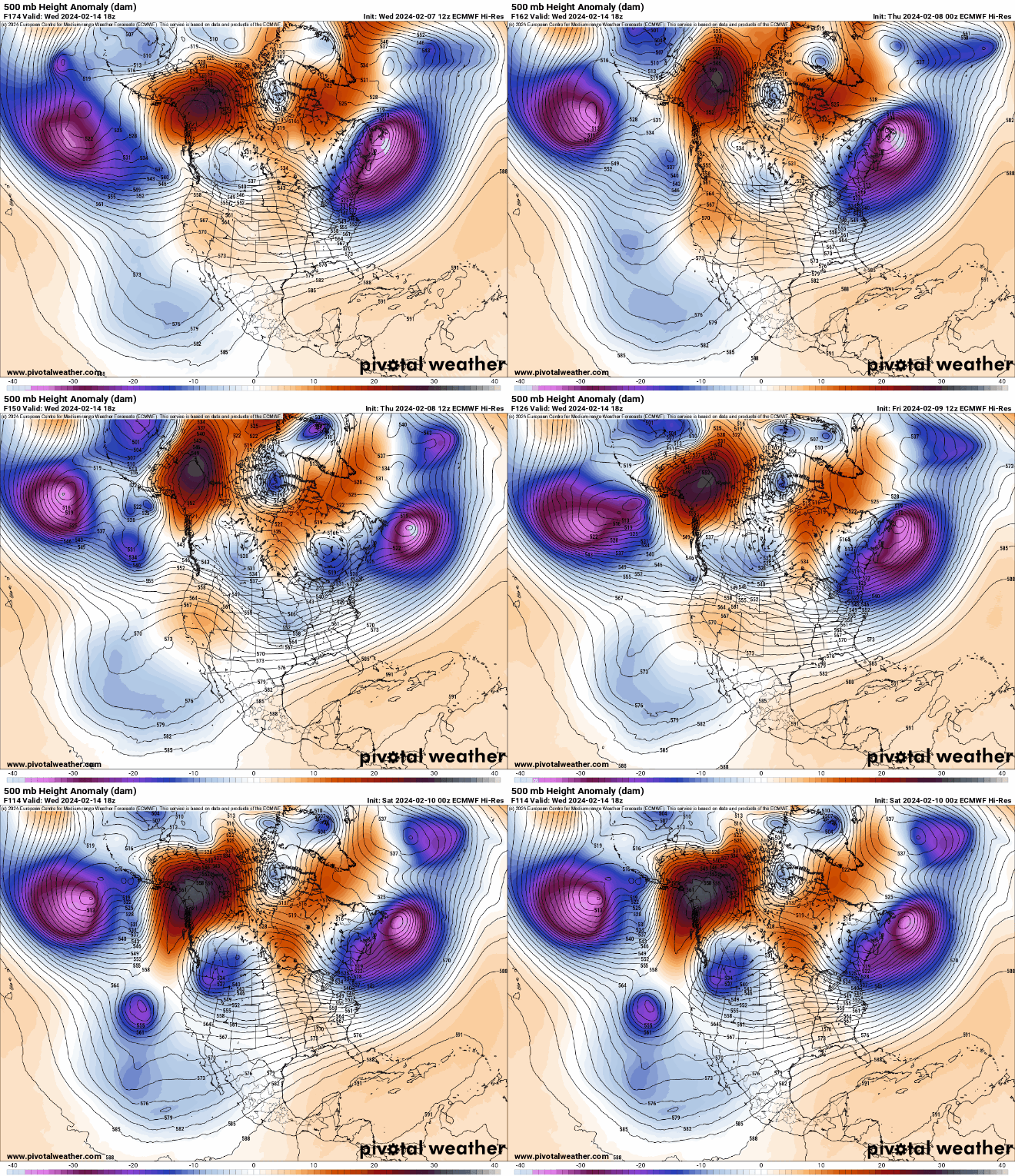
That Alaska ridge is there almost the entire run
-
Pretty low dewpoints
-
Looks like 850s get down to -7/-8c over Seattle and Portland on this run, really nice to see.
-
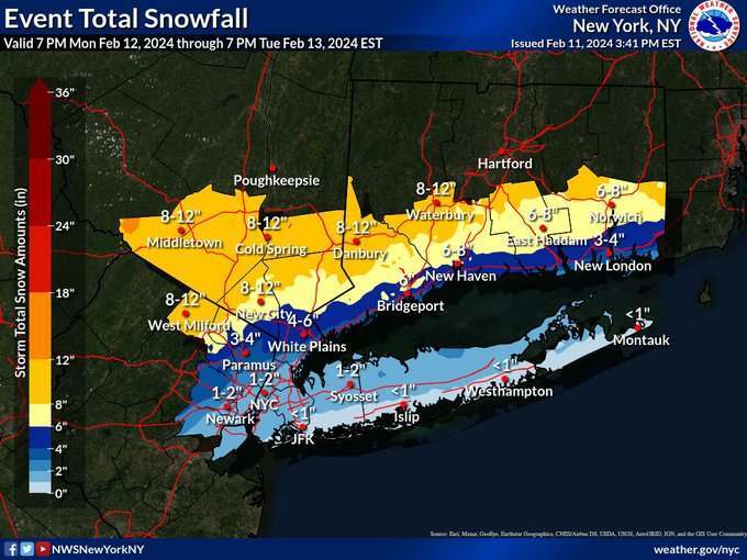
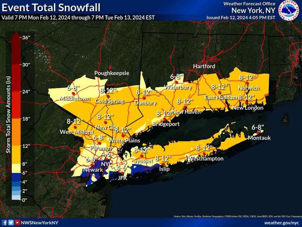
Pretty good storm for the NE soon. Poor @Phil though
-
-
GEM glances us with some cold air as well. Not much but nice to see
-
How cold did you get this winter and last winter?
-
Eugene did well too it looks like. 19" of snow in 4 days in January. Salem had 11" and PDX had 7". And 9" at Hillsboro so probably a similar amount here. Bellingham's numbers look amazing, over 25" of snow there. I think it was the snowiest month at Vancouver BC as well?
-
1970-1971 at Portland-Elk Point (1000' in Sylvan): November 1970: 3.1" of snow (and a 28/22 day with an ice storm) December 1970: 11.6" of snow (mostly marginal it seems) January 1971: 27.9" of snow (Depth peaking at 18" on the night of the 13th) February 1971: 26.8" of snow (Depth peaking at 13" on the 27th) March 1971: 3.1" of snow 72.5" of snow total.
-
All of those had at least one event at least. 1970/71 had 70"+ in the West Hills of Portland and was very snowy in places, January 1974 had a decent blast, and 1989/1998 had top tier blasts. November 2010 and Feb 2011 were also great.
-
Only time I had seen snow in the teens here before last month. I think we had 5-6" with the first storm and maybe 8-10" total 7S1A5067~2.mp4


.thumb.png.8b2f62c1ef0326671235d37693c904ca.png)


