Snowman Josh
-
Posts
98 -
Joined
-
Last visited
-
Days Won
1
Snowman Josh's Achievements
")
Newbie (1/14)
12
Reputation
-
 Zonal flows are always variable and could easily give a wet winter in weak el ninos
 -
Tim needs to get a life. Wait, he has one. A negative one.
-
I miss Paul deanno and his video blogs.
-
Am I the only one that is F'ing sick and tired of the lazy Seattle AFD? It's either the same wording, or a complete copy and paste, especially the extended. Previous discussion, previous discussion. What the hell are these idiots getting paid for. It's as if they don't look at the models until it is imminent. Bunch of losers really.
-
If we got some radar echoes like this around the King/Snohomish county line when it was cold enough to snow we would see feet..... Unbelievable sheets of rain coming down right now.
-
Amazing how quickly this region rebounds from abnormal climatology. I'm still holding out hope for later this week as conditions appear at this point to be marginal for snow. That being said, a little shift in the 500 mb pattern Mon/Tue could spell goods for all. I'm watching with a telescope the next 24 hours of runs.
-
Tim, you are a strange one for sure.
-
Loving the way things are looking starting next Sunday. Dare to dream?
-
Yep, sun going down and those low DPs is why ice is going to accumulate for you guys later. Should work out almost perfect for us here in the Puget sound. Precipitation likely arrives 7-10 PM? Somewhere in there, with the sun down and evaporative cooling we should get a good quick snowfall. Plus, we can't discount how cold the ground will be. Should stick from the beginning regardless of temp.
-
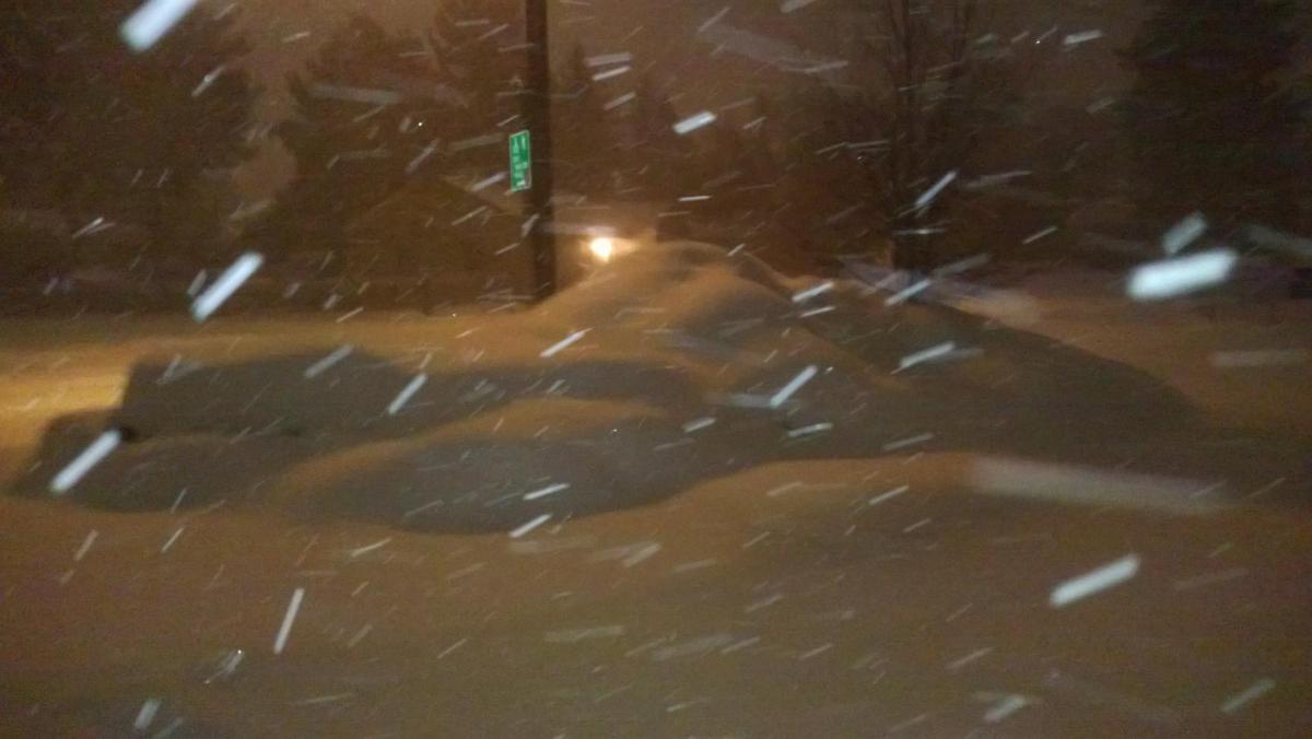
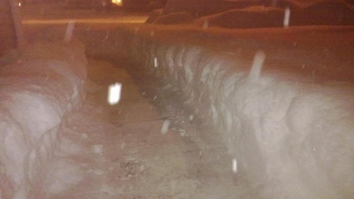
Here are a couple of pics that Mat sent me....good lord.

-
My brother in Redmond "High desert Mat", on the KPTV blog told me he just measured out his backyard and he had 30" on the ground. Epic for that banana belt of central Oregon.
-
Nope, wave is marching east and we are left with offshore windshear, so to speak. That low or the low above it are curling away. That's the energy that hits us and warms us up Monday or so per the models. How FUKKING ironic, huh?
-
What a FUKKED up pattern for those of us in the Puget sound!!! Watching system after system poised to carve the perfect path for Portland and vicinity. Meanwhile, we sit back and watch cyclogenesis get tantalizingly close and then retreat out into sea...good FUKKING LORD I GOSHDAMN HATE IT!!!! My eyes are now pointing to the sea once again...I digress. Looks as though the next wave is developing further north. Far enough to help? Who FUKKING knows, huh?
-
That low more than likely starts backing up. I hate to believe it but every model on earth is showing it.
-
Who's this kmartin goon?