Niko
-
Posts
12450 -
Joined
-
Last visited
-
Days Won
21
Everything posted by Niko
-

January 2024 Observations and Discussion
Niko replied to Minny_Weather's topic in East of the Rockies
Arctic air still holding a good grip here w no melting. True January weather going on and what a turn around from December. I'd say that is a major pattern change. Tbh, kinda looking forward to a January Thaw coming up, but hoping it does not last too long. Also, considering this is a strong nino winter, I'd call this super stretch cold weather and snowcover a "Real Bonus." -
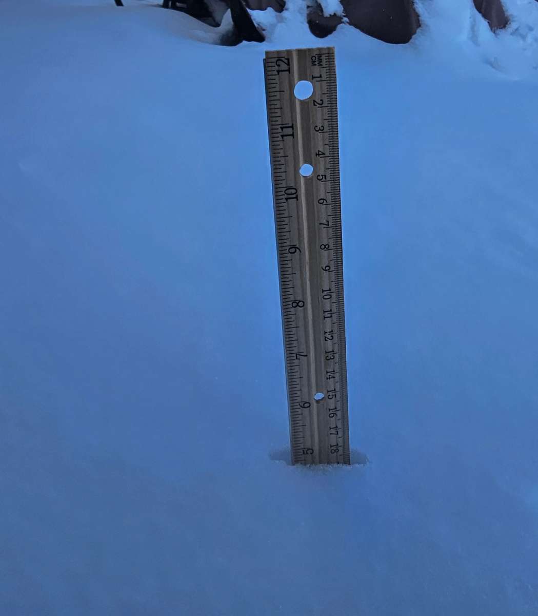
From the second event.....measured at 5"....thanks to Lake Huron.

-
January 2024 Observations and Discussion
Niko replied to Minny_Weather's topic in East of the Rockies
That Lake did provide the goods. At times, it was coming down really hard and stacked up in a heart beat. I never thought Lake Huron could be that friendly.... That streamer made a beat-line straight at Macomb...sweet!!! -
January 2024 Observations and Discussion
Niko replied to Minny_Weather's topic in East of the Rockies
Currently at 4F under deep blue skies along w a very nice snow cover. Detroit currently has a 7" snow depth. Here Macomb, Lake Huron helped yesterday by adding nice 3-5 inch amounts. I will take pics and take a measurement too. Note: Both events equaled a 4-8" amounts. Not too shabby at all. -
January 2024 Observations and Discussion
Niko replied to Minny_Weather's topic in East of the Rockies
Currently at 7F w cloudy skies. WCF at -8F. -
I think a good snowfall is headed for all of SMI w/ a 2 day total (Thurs & Fri) of 4-8"+ in the cards, followed by another arctic airmass over the weekend. Also, very high ratios will probably make for higher accumulations. Watch, instead of a WSW, my area as usual will be put into a WWA per Dtw Crew.
-
January 2024 Observations and Discussion
Niko replied to Minny_Weather's topic in East of the Rockies
This is screaming very high ratios, should it verified. -
January 2024 Observations and Discussion
Niko replied to Minny_Weather's topic in East of the Rockies
Beautiful amigo!!! Enjoy it. -
January 14-16 Major Winter Storm and Arctic Blast
Niko replied to Black Hole's topic in East of the Rockies
It is almost 10am and my temp is still below zero (-1F). Not going too high today. Most likely in the low to mid single digits for highs. Its not that bad outside, if its not windy. I.e., I went for a jog at 5:45am and was tolerable w/ no wind. -
January 14-16 Major Winter Storm and Arctic Blast
Niko replied to Black Hole's topic in East of the Rockies
W/ a nice snowcover (finally), temps bottomed out last nite at -3F. Hello January!!! BRRRRRRRRRR!!!!!! Possibly colder tanite. -
January 14-16 Major Winter Storm and Arctic Blast
Niko replied to Black Hole's topic in East of the Rockies
Wow!! That is odd. This morning was a brutal 5F.WCF's well below zero. Heading down to below zero temps tanite. -
I agree 100%. This should have been a WSW and not a WWA. DTW always plays it very conservative. I too saw cars in a ditch yesterday as I was coming in from Troy. Multiple cars were stranded and I also saw a semi that had gotten stuck in snow. I felt bad for the guy, so (I pulled over to see if he needed help, but he already had Triple AAA coming...real nice guy) so, anyways, I was having coffee in Starbucks w 3 of my clients and at first we saw it snowing lightly and then, suddenly, all hell broke loose and it was like a a sheet of very heavy snow and strong winds which lasted for several hours. It took me 2 hours to get home in Macomb. Nice storm though. Go GFS!!
-
Most likely. Agreed 100%.
-
Snowfall numbers: ***MACOMB COUNTY*** RICM4: Richmond 4NNW :0800/ 37 / 26 / 26 / 0.55/ 5.9/ 6 and DTW : Detroit Metro Airprt: 38 / 25 / 25 / 1.04 / 4.7 / 3
-
Note: Yesterday there was also thundersnow reported w/ that heavy snow falling during the late afternoon hours. I think it was around Shelby Twp. Pretty cool stuff.
-
Yes..sometimes Nino winters can be kind, I guess. Watch out for later this afternoon and evening for some lake effect bands that will set-up shop within the 1-94 and then push up northward between the M-59 corridor & I-69. This band can be very intense. Couple to several inches could be likely.
-
Great pics!!! Finally a winter wonderland here.
-
@ClintonHope you are scoring buddy w some of that white gold. Now, w that bitter cold air, chances looking very good for all snow and no mixing, for a change. Looks like the GFS did a great job for SEMI, unlike the Euro. Mostly snow throughout the whole duration here.
-
That is a REAL taste of heavy snow accumulation. Last time I saw snow that heavy was back in NYC (Blizzard of 96 and also Blizzard 2006). Insane rates....hardly able to see a person crossing the street.
-
WOW...You are rockin up there amigo w tons of snow. How is the new change been for ya? Also, how do you manage that hill?? Hope you have good tires!!
-
January 14-16 Major Winter Storm and Arctic Blast
Niko replied to Black Hole's topic in East of the Rockies
This storm is for the i-95 corridor. Finally, looks like they will end their snow drought. Hopefully!!!! WSW's should be posted out for them by late Sunday or Monday. -
January 2024 Observations and Discussion
Niko replied to Minny_Weather's topic in East of the Rockies
Brutal arctic air coming w possible below zero readings coming up. W a snowcover around, chances are pretty good. This looks to be a long stretch of bitter cold air. I think last time it went below zero or near zero was in 2022. -
Started as light rain /mist to mixed and then heavy wind blown snow. I was coming in from Troy and roads were terrible. Radar looks beautiful. Under a WWA attm. Haven't had a chance to even look at this storm, but read very few posts on here, but still not aware of what is going on, but I do know that this is a big storm. Note: Snowfall rates were in the inch per hr rates. 4" has fallen in Detroit and still snowing. Detroit Metro Airprt: 37 / 30 / 33 / 0.84 / 4.0 / 4
-
January 2024 Observations and Discussion
Niko replied to Minny_Weather's topic in East of the Rockies
Happy New Year Everyone!! Just came back from Athens Greece last night after being there several days for the New Year. Definitely need to catch up in here....so many threads, holy crap! Will try to read as much as possible. -
I wanted to post this as well, but kept forgetting. So, I saw one deep inside my grass a couple of days ago and told my wife, you are not going to believe what I just spotted in our grass. I was experimenting up close on how my grass has gotten greener and greener w/ time (so ridiculously weird), and that is when I caught a glimpse of that sucka. This is a crazy, winter pattern we are in amigo. I truly hope it changes soon.