BLI snowman
-
Posts
16230 -
Joined
-
Last visited
-
Days Won
38
Everything posted by BLI snowman
-
Funny enough, the last few big snowpack years in CA were all *drumroll... Niñas! 2010-11, 2016-17, 2022-23. La Niña truly brings the nourishing juices of life to all. Particularly to the Mid Atlantic states, where it allows the newly-native flora to thrive as it works to further expedite the transfer of the humid subtropical climate/bioregion into your neck of the woods.
-
Rang in with a nice line of strong to severe thunderstorms on the 1st and never looked back.
-
The cool and wet May is looking like the real deal, Andrew. Big Nino to Nina flips tend to equate to stunningly beautiful Mays. 1988, 1998, 2010. We're bound to see blessings, and a whole heck of a lot of them. You've all been warned.
-
Back to Hockinson!?
-
Niño climo in Phil's mind
-
Really only May 2022 stands out as cooler than average since 2015. May 2021 was fairly average temp-wise but also was consistently sunny and dry as a bone. Several historically warm Mays in that stretch as well.
-
August is definitely kind of its own runaway freight train at this point, but the whole May-August stretch has seen that broad shift towards warmer and drier. September is interesting in that it's at least maintained some productivity from a precip POV, perhaps owing to the inescapable change in wavelengths at that point which can reliably stick a few bullets in the summer pattern.
-
Recently I would say that the "start" of summer, if we're defining that as reliably sunny, warm, and dry weather, has broadly coincided with the annual death of the polar jet across the CONUS, which is usually at the very end of April or during the first half of May. Whereas in historic terms the PNW often keeps the cut-off low factory going well enough into June that spring-like climo still persists, with cooler temps and showery weather hanging around. Anecdotally it just feels like those patterns during that stretch of calendar have had a lot less teeth in the last decade while also being a little fewer and further between. Perhaps owing to the stronger flexing of the 4CH. In any case it seems pronounced enough to be a trend and it does feel like it correlates pretty soundly with our midsummer climate changes.
-
I think there is some conflation with "spring" and April. Spring also includes May, which has seen a distinct tendency towards warmer + drier than average since 2015. Including a solid handful of Mays in that timeframe (2015, 2016, 2018, 2019, 2021, 2023) where it effectively didn't rain the whole month across wide swaths of the region. You expect one or two of those per decade but the pace has really accelerated recently. The early part of spring has been pretty distinct from the latter part of spring when it comes to the departures from average, since March and April haven't seen a sharp statistical trend in that direction but May and early June (still more spring climo-wise) definitely have.
-
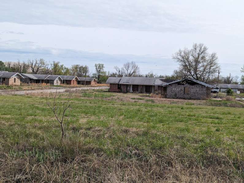
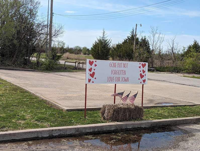
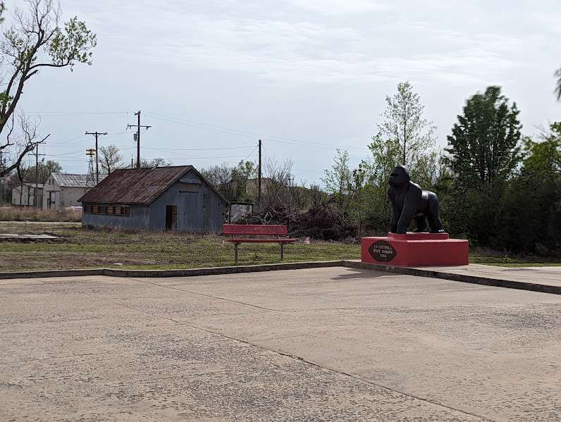
Speaking of seeing America, I visited the ghost town of Picher, OK on the back end of my eclipse trip. Really fascinating story there, with the lead/zinc mining deposits there creating an environmental catastrophe, and then sadly a devastating EF-4 tornado in 2008 pretty much finished them off. You can still see the giant chat piles from the road hanging over most of the former building sites.
- 1760 replies
-
- 12
-

-

-

-

-
Was going to go up there this same week last year but the road was actually still closed due to 2022-23's snow-e-ness.
-
A little early for the dry season to be starting. If I were in SE King County, I'd be getting pretty nervous about the prospects for a really wet Memorial Day to 4th of July stretch.
-
Not typical, but FL has seen some legitimate outbreaks in the past. February 1998 was pretty ugly in the Orlando area. February 2007 as well. Ninos enhance the southern jet obviously so there's a big correlation there.
-
Sure, but tornado dynamics are actually a little more favorable the further north you go in FL. Given the better jet support and shear/helicity that exists in that corridor. Jacksonville is basically GA.
-
Tornadoes in FL really aren't that rare.
-
Eh. I like Rot In Pieces better.
-
RIP OJ
-
I read somewhere that last year was the final settling of our May 1962 debt. So we oughta be good to go now.
-
That's the start of our cold May. May-king up for last year's torchfest.
-
I think 1943-44 and 1944-45 were neutral as well (following a moderate Nina in 1942-43). Both were regionally awful. 2013-14 was our last classically neutral ENSO winter. As was 2012-13. The latter being another pretty lame winter.
-
Then there's 1980-81. Which was a giant, gaping asscrack of a winter.
-
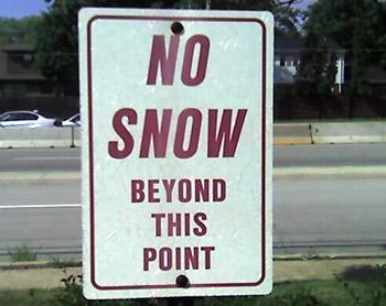
They're really watering down the standards lately.
-
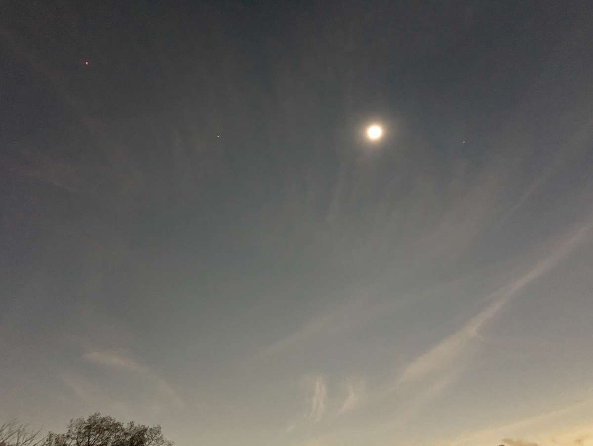
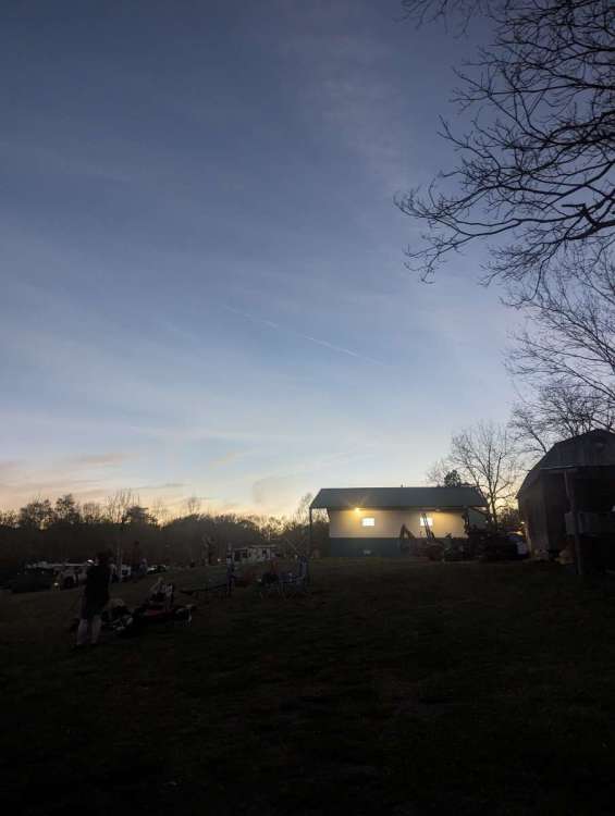
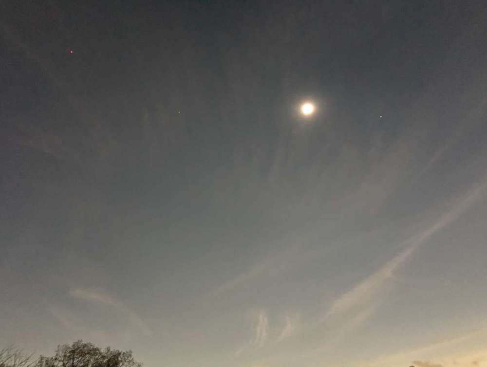
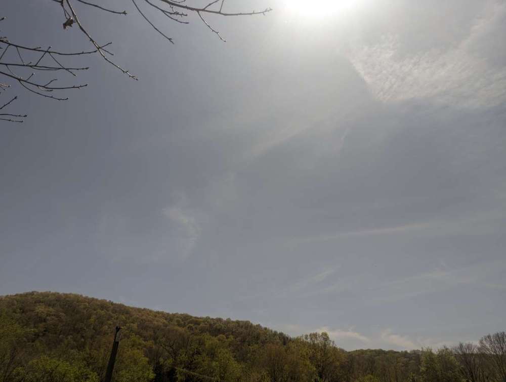
Before, during, and after. Phone definitely didn't come close to doing it justice. In Gilbert we had just over three minutes of totality. The stillness of the air as the sun got swallowed up had such a serene quality to it, perforated only with the chatter of crickets as they started singing their evening song. Majestic experience!
- 1760 replies
-
- 11
-
-
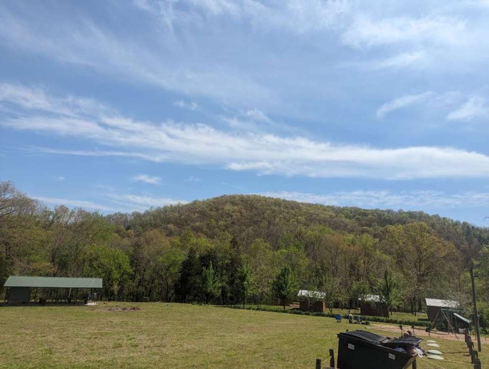
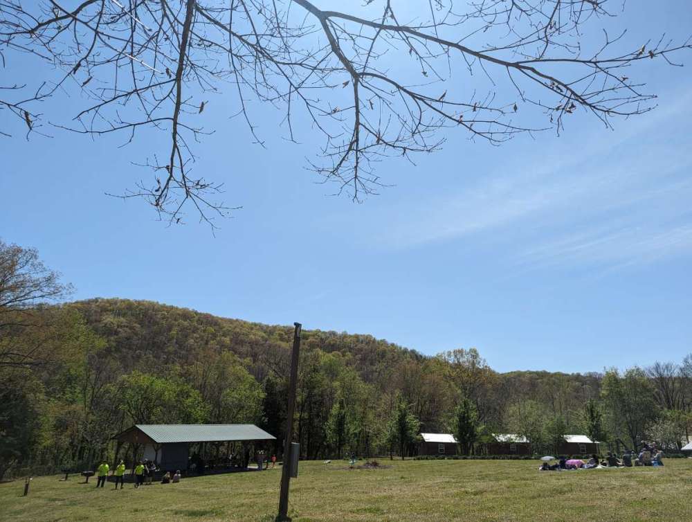
Crystal clear here in Gilbert, AR. Which is allegedly one of the coldest inhabited areas of the Natural State.
-
The annual mid August smokestorm will make for a cool effect. Assuming that there's any fuel left to burn by then.