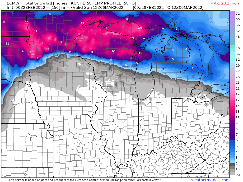
The first, in what will be a series of waves coming out of the SW/4 corners region, will be an elongated CO Low that ejects out into the Plains and tracks towards the W GL's region. How strong will the blocking be up north? This first system looks to take a track into IA and then thru the GL's. There will be a potpourri of precip types from Heavy Snow, ICE, Storms and a good amount of rain. Let's discuss....#SWFlow
0z Euro Op...a little warmer than the GFS up in the Northwoods but still


