


kokaneekidz
-
Posts
916 -
Joined
-
Last visited
Posts posted by kokaneekidz
-
-
- Popular Post
- Popular Post
For once my house was geographically in the perfect spot

-
 17
17
-
1 minute ago, MossMan said:
I need at least 6”. 6” will make me happy. Nothing less though.
A real size queen
-
 1
1
-
 1
1
-
 1
1
-
-
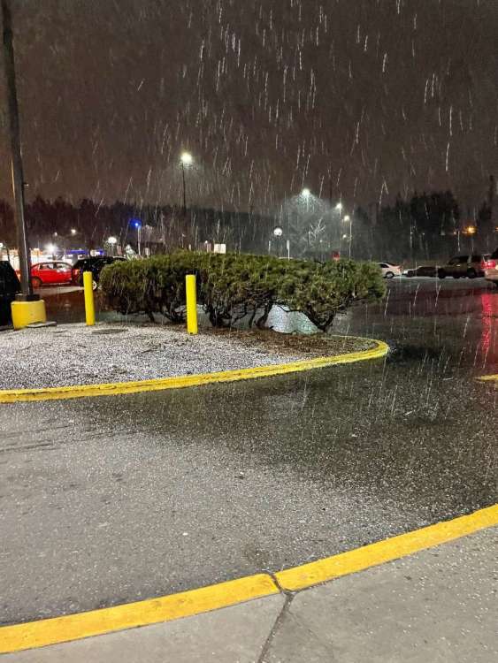
Hailing here. A skiff of accumulation
-
1
-
1
-
-
1 minute ago, WeatherGeek2022 said:
come to butthead...
Cut it out Beavis. UH HUH HUH HUH
-
1
-
-
8 hours ago, TT-SEA said:
Reading the details of the WWA... I think the high end of the amounts might be up north in the foothills where the c-zone reaches the Cascades near Gold Bar on Sunday afternoon. Its pretty silly to lump places like Maple Valley and Fall City in with that small area and just blanket say the entire EPSL could see 10 inches of snow. It doesn't represent the reality of the situation.
They almost need to make a special CZ weather forecast zone. Since 80% of every frontal passage includes the CZ as a formidable force in terms of precipitation. It is wild how much MORE post frontal moisture Mukilteo receives vs Bellevue. Quite drastic
-
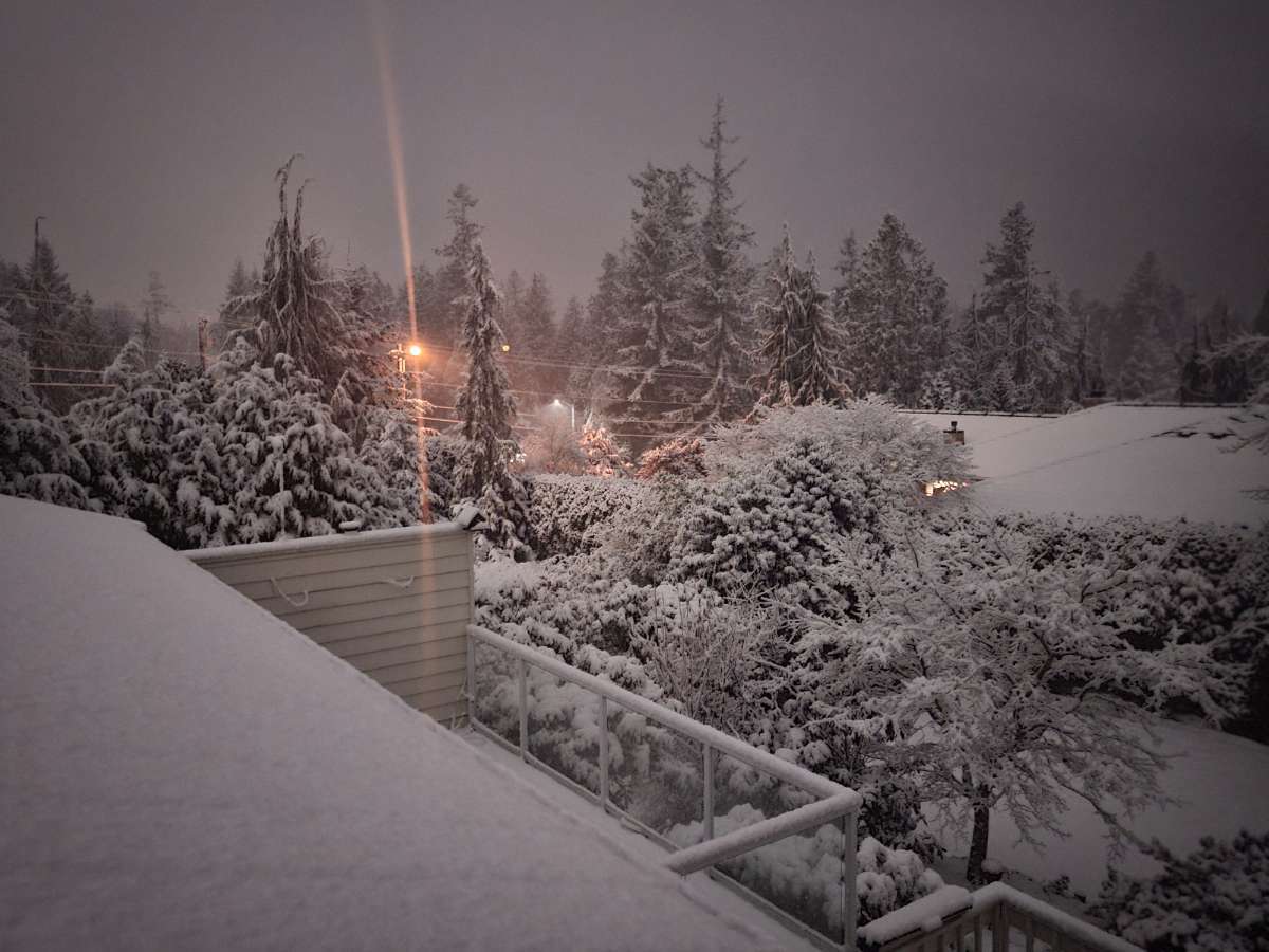
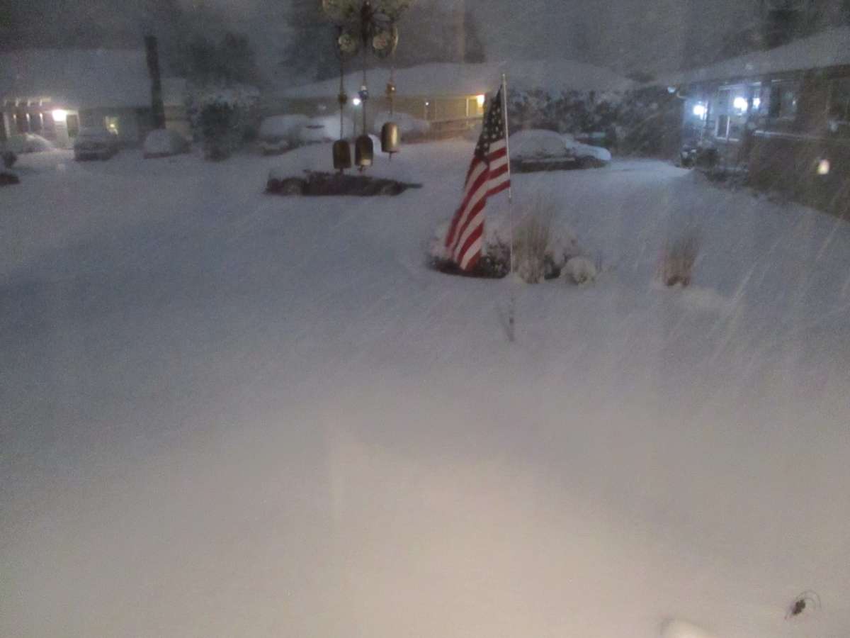
1 hour ago, Gradient Keeper said:
A most incredible snow storm. At times the snowfall rates have been as heavy or slightly heavier than January 2017. Temp 27.5, Dewpoint: 27.1 with gusty east wind and very heavy snow continuing. I'm at 11 1/2" now! UNBELIEVABLE!!!! This pic does no justice at all.
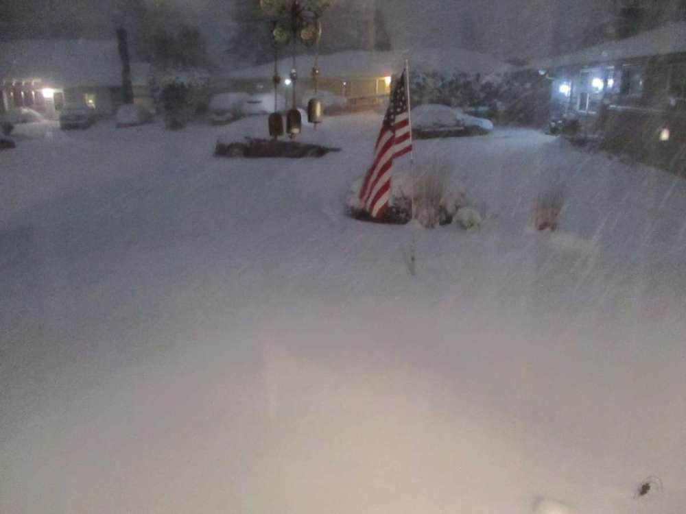
Just need some Xmas lights to top it off
-
4
-
-
12 minutes ago, Rubus Leucodermis said:
Southerly flow with entrenched low-level cold banking against the mountains can be very good for metro Vancouver.
I believe this is the WINTER for our entire area. Sit and sip a nice cup while taking it all in. I ran across some nice Graupel en route to the office today around 85th exit on 405 . Was a harbinger of things to come. SNOW!!!
-
5
-
-
1 minute ago, MossMan said:
I pulled the plow out from the corner of the garage, need to adjust the chains a bit and check air pressures. Probably won’t need it but it makes me feel better anyway lol.
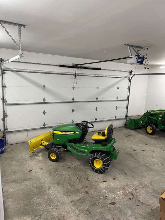
Get your lawn mower and weed wacker warmed up. Eh
-
1
-
-
1 hour ago, SilverFallsAndrew said:
He was my favorite on SVU after Stabler left the show.
I loved his inclusion on the Mike and Mechanics video
-
1
-
-
Looks like we lost Snyder
-
1
-
 1
1
-
-
48 minutes ago, Phil said:
Of course it’s gonna happen. The GFS is ROCK SOLID.

-
1
-
-
- Popular Post
- Popular Post
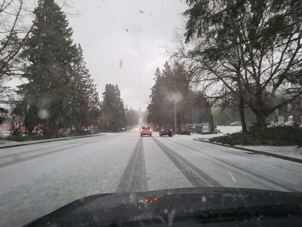
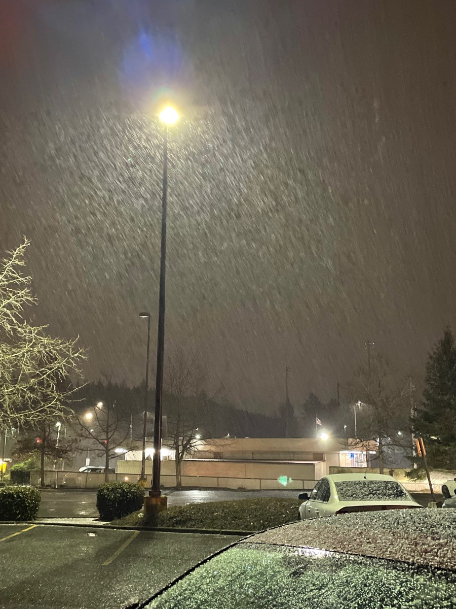
Awesome in Overlake Bellevue near work
-
15
-
1
-
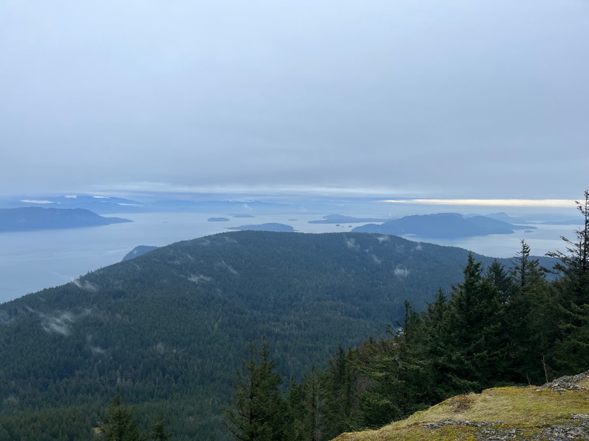
1 hour ago, TacomaWx said:
Nice day up on orcas island today. Surprised to see we may actually get snow in Tacoma while I am gone. No snow on the mountain for now but I bet that will change.
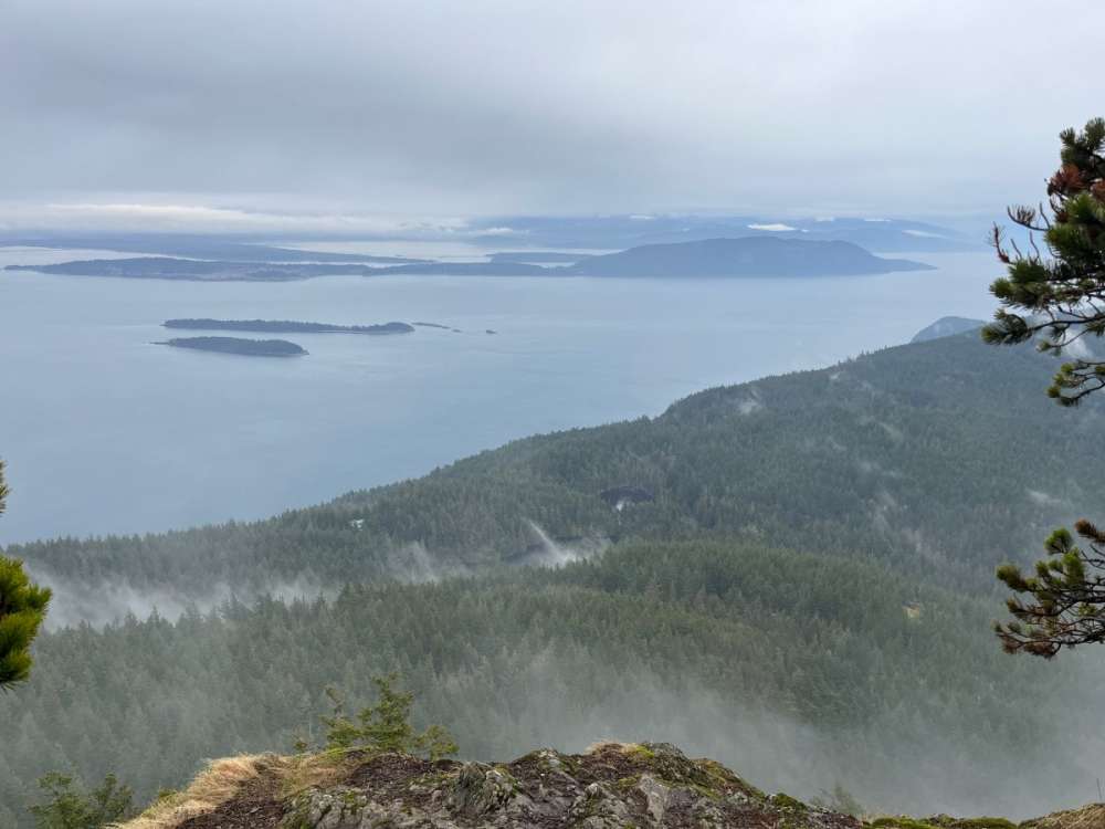

I love the view from Mt constitution
-
2
-
-
18 minutes ago, MossMan said:
Wow all the models now show crap for my area. Yay. I’m going to rip down my Christmas lights and shove them in the garbage can I guess.
Easy there TIGER!
-
1
-
1
-
-
1 hour ago, TonyP said:
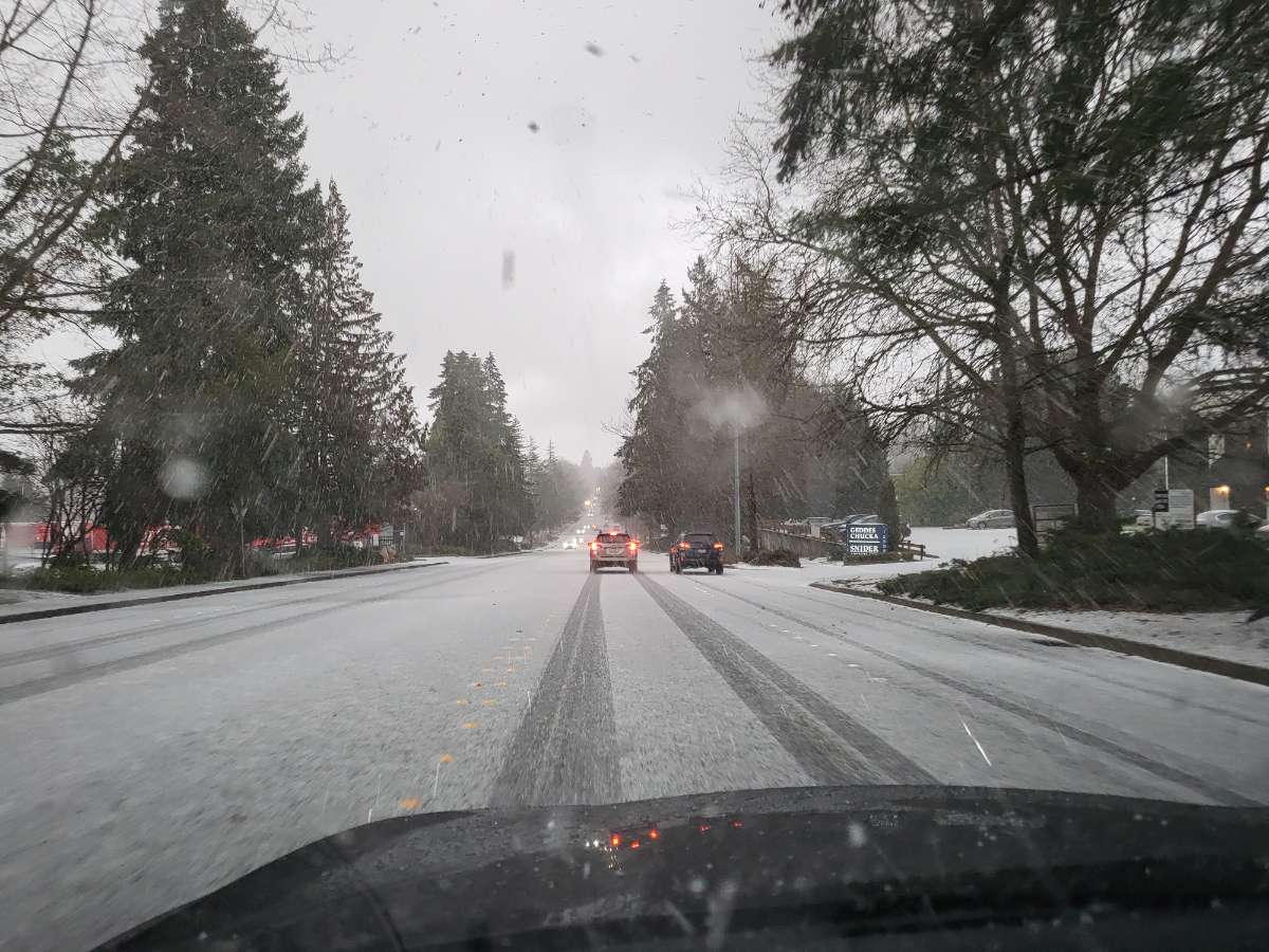
Really weird precip, not as frozen as typical hail, it’s kind of fluffier??
Graupel is the terminology. Comes from German language
-
5
-
1
-
-
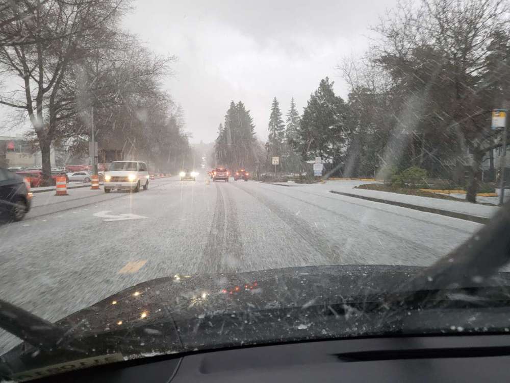
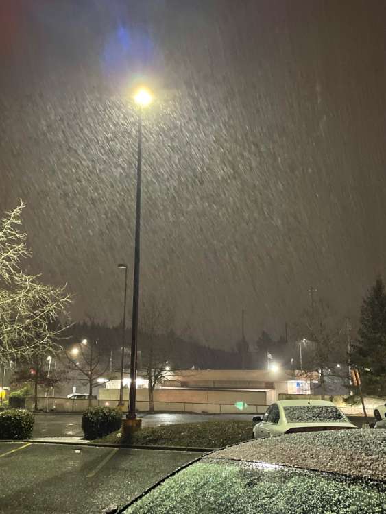
Graupel in Bellevue currently NE20th Overlake area.
-
3
-
1
-
-
9 minutes ago, MossMan said:
I suppose that would be okay.
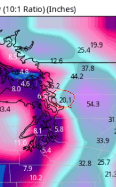
This is way more believe able. 6" for Coupeville and 20" for Arlington. Actually has a chance of panning out as such
-
3
-
1
-
-
7 minutes ago, Doinko said:
Isn't Sequim a good spot for upsloping moisture with northerly flow though?
Overall, you need to be near the highway or south, then it piles up quick as you ascend into the beginning of the Olympics. West of Sequim is much better ...
-
1
-
-
4 minutes ago, Doinko said:
Isn't Sequim a good spot for upsloping moisture with northerly flow though?
Can be closer to the foothills . Near Dungeness spit is usually snowless regardless. I went there to the wild animal farm during February 2019 and they had very little. A dusting. Meanwhile at Bainbridge there was a foot. And near Port Ludlow about 8inchez
-
2
-
-
1 hour ago, MossMan said:

Terrain bleed for sure. Whidbey island is a dry oasis like Sequim especially near Coupeville. No way they score more than you. Makes Zero sense
-
2
-
1
-
-
Surprise snow currently in Bellevue Overlake area. A step in the right direction
-
2
-
 1
1
-
 1
1
-
-
7 minutes ago, SilverFallsAndrew said:
RDPS looks pretty similar to the UKMET. Arctic front draped across NW Oregon at hour 84.
Really hope we get a regionwide event. And it sticks around for a minute
-
4
-
-
48 minutes ago, SilverFallsAndrew said:
Talk about a lump of coal in our stockings!
Break out the Hawaiian shirts and mai tais
-
1 minute ago, Gradient Keeper said:
Too bad he's not wearing that gorgeous sweater from his wardrobe
-
1
-


April 2024 Weather in the PNW
in West of the Rockies
Posted
Strawberry shake , one deluxe , a fry and throw in a tarter