
Leaderboard


Popular Content
Showing content with the highest reputation since 06/26/24 in all areas
-
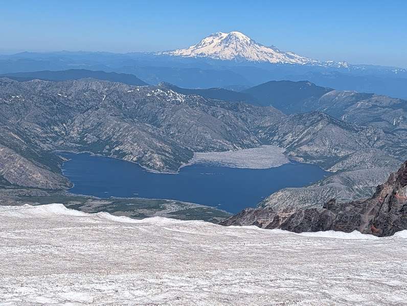
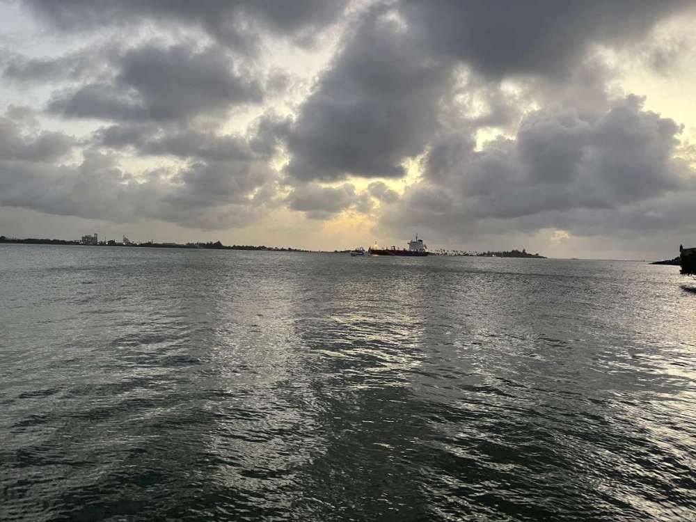
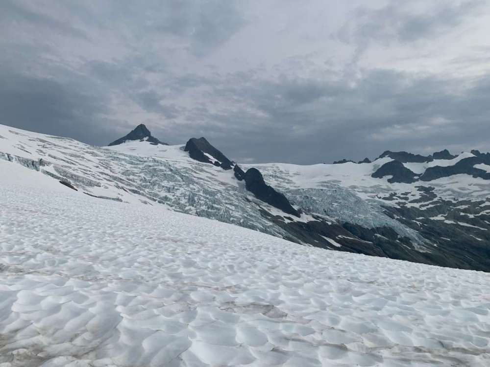
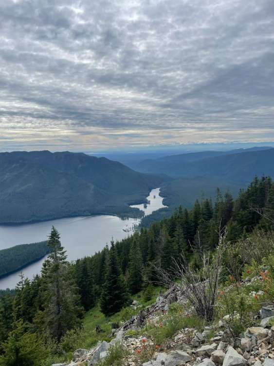
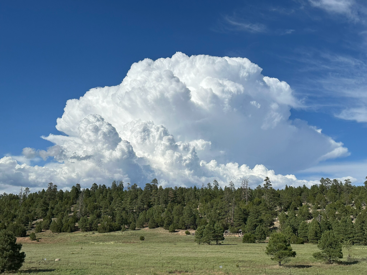
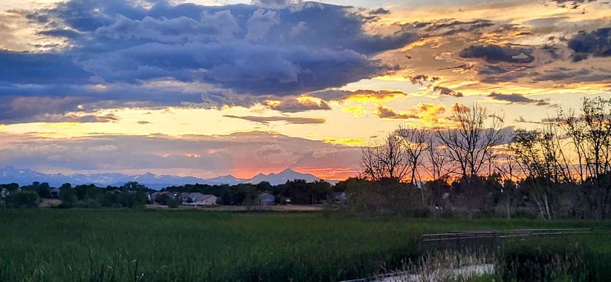
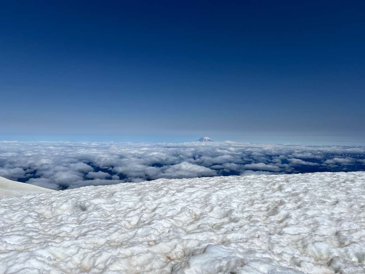
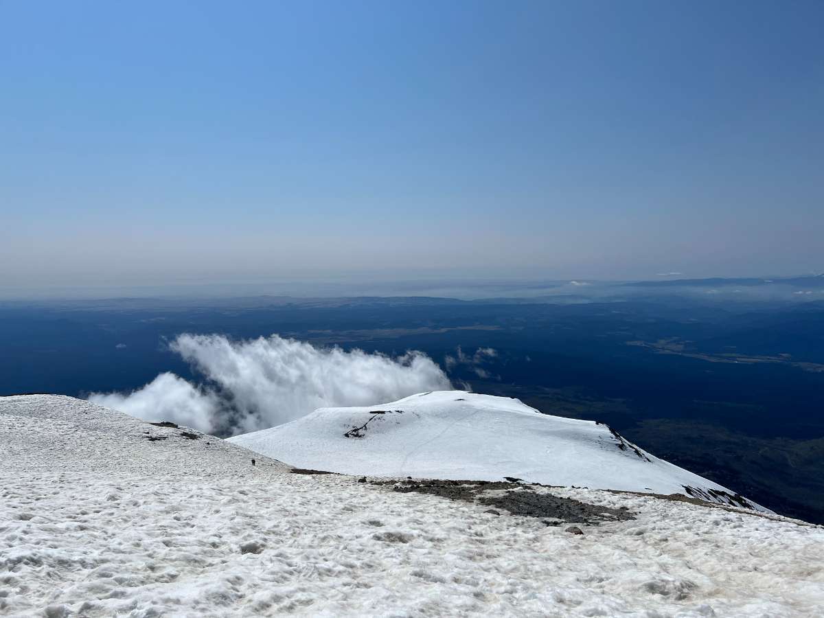
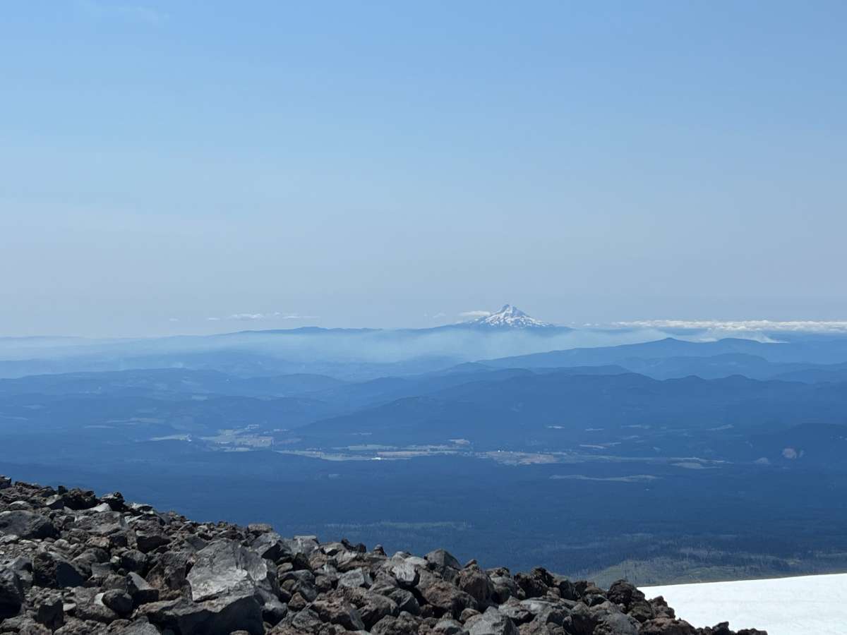
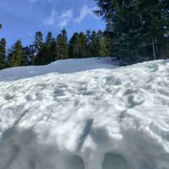
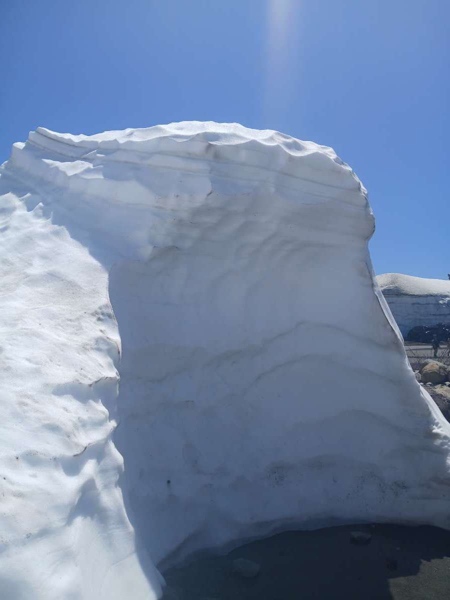
Happy 4th everyone! Had a beautiful day summiting St. Helens today. A little warm, but had great visibility, with some distant views of Mt. Baker, the Olympics, and the Three Sisters. Still decent conditions for glissading down the snow on the way back as well. The cornice up there appears to be on its last legs.
 26 points
 -
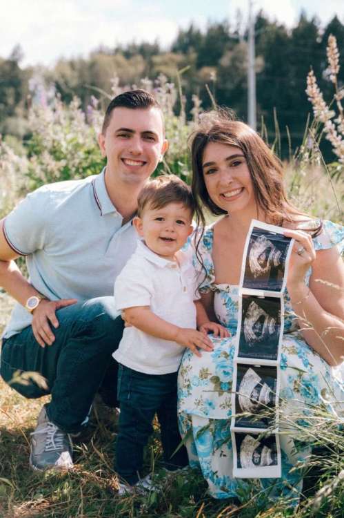
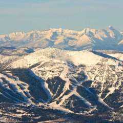
Things come in 4’s
 22 points
 -
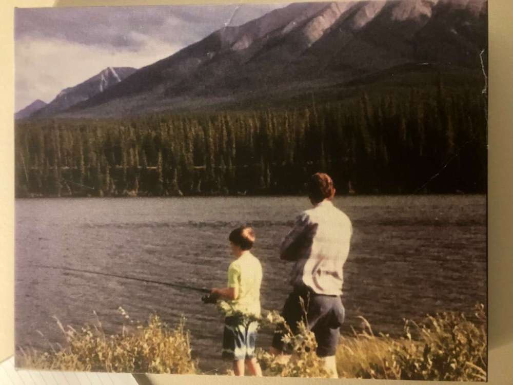
I actually have a picture of my dad and myself as a child fishing in Jasper National park. It’s hanging on the wall next to me. One of my favourite memories of us together. He passed away in 2017.
 21 points
 -
In other news we said goodbye to Bella today. She enjoyed a last meal of Taco Time Mexi Fries, which was her passion in life. She was a good little dog and we are quite sad.
 20 points
 -
MRI came back clean!17 points
-
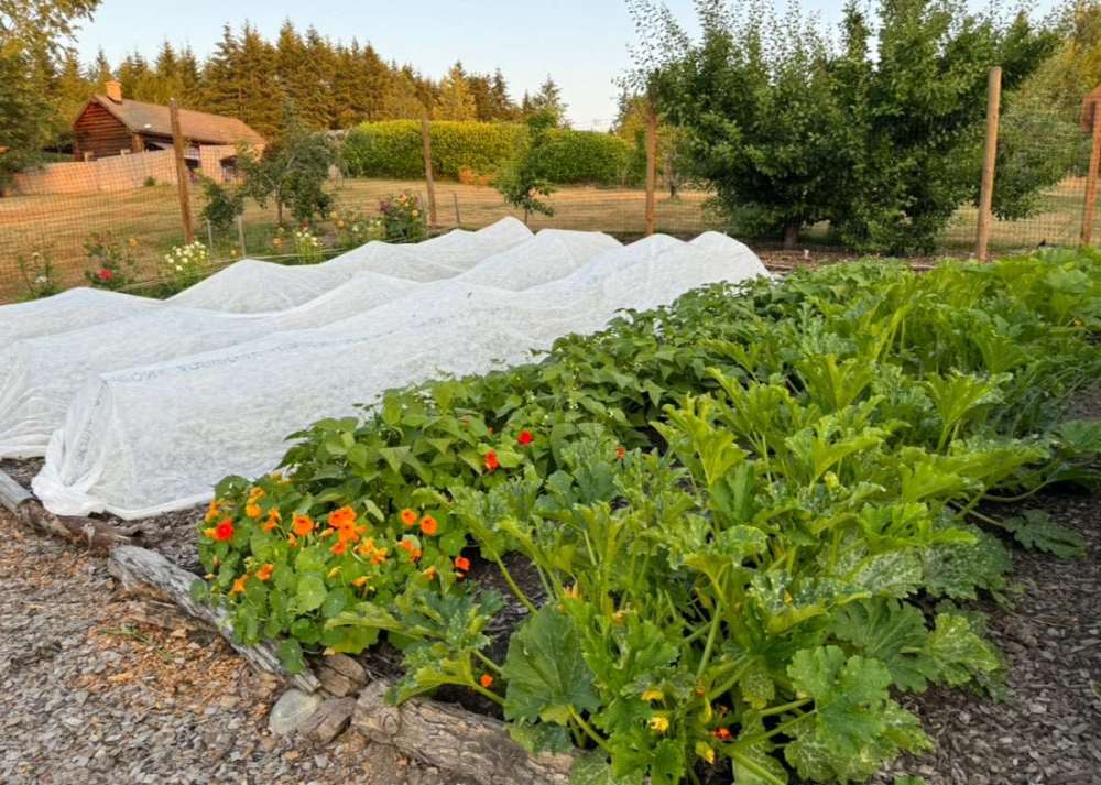
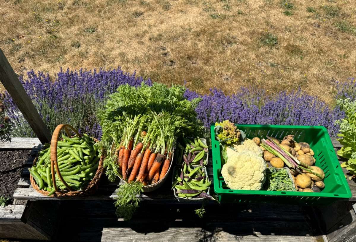
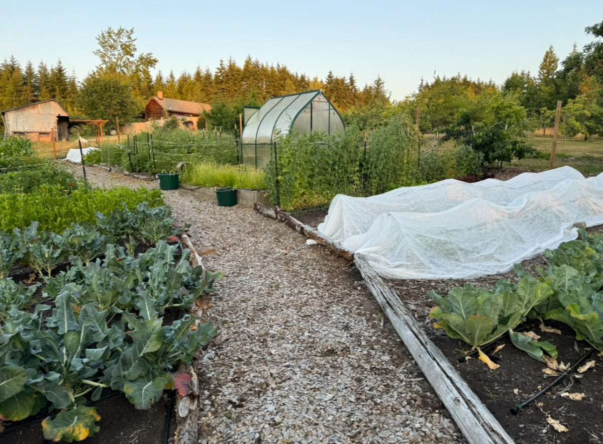
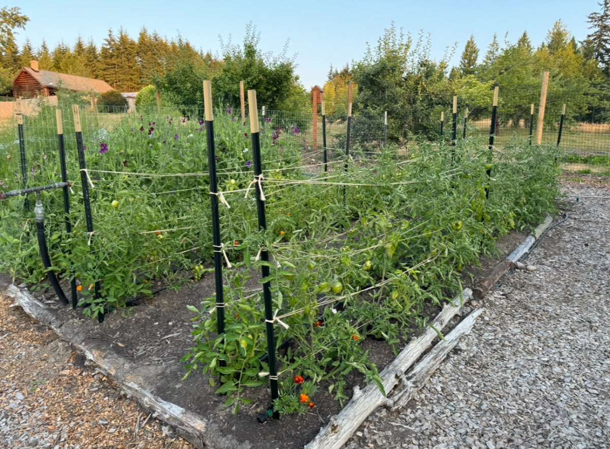
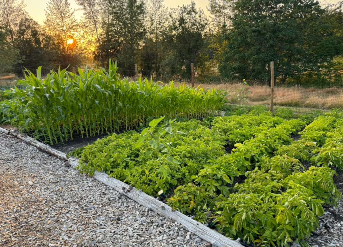
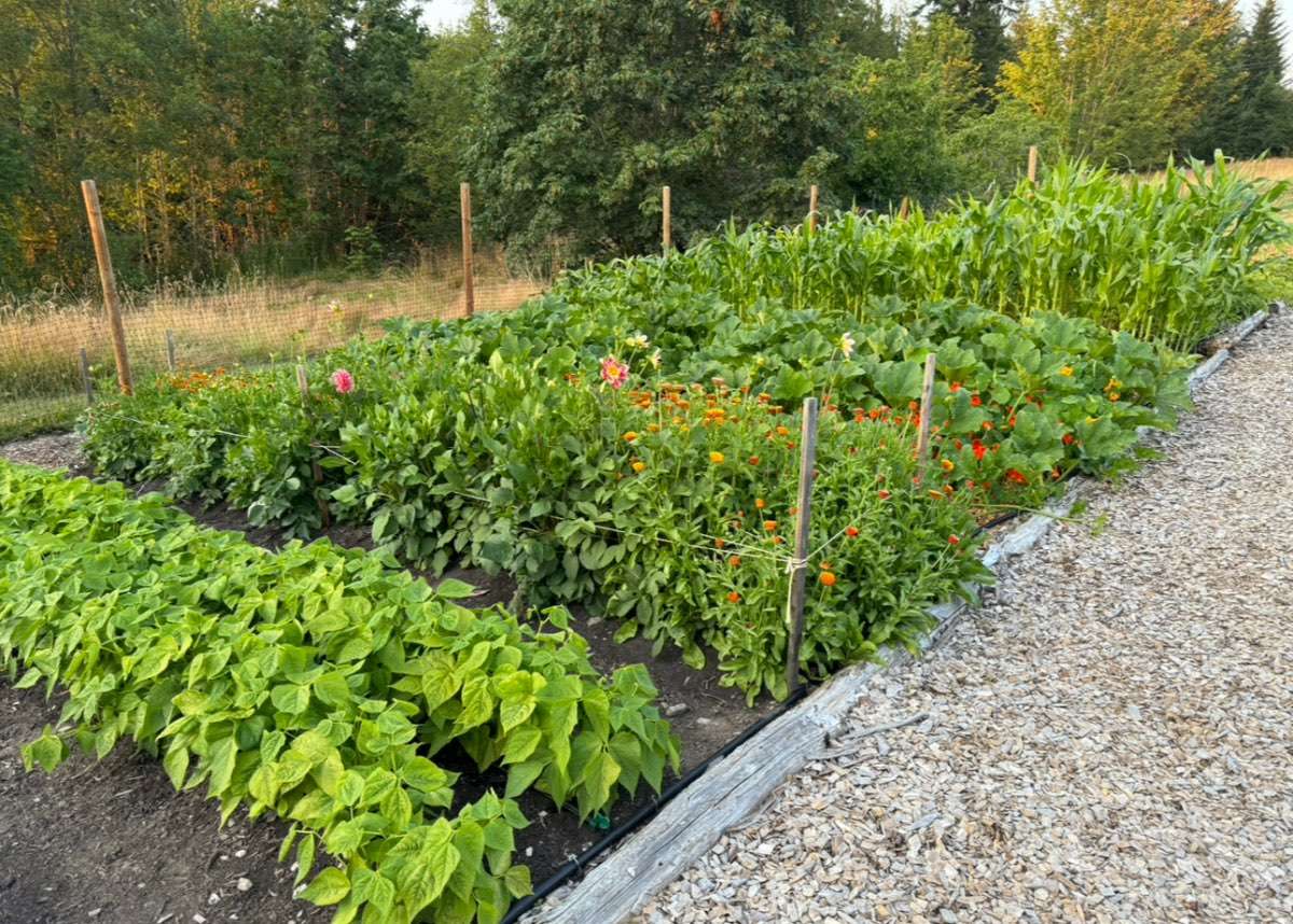
Garden update. No issue with some chilly nights.


 16 points
 -
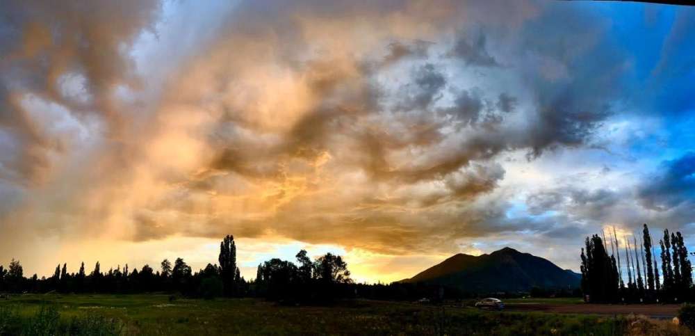
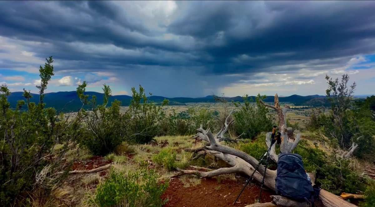
Thunder and lightning woke me up at 2:00am and it still going. Just had a massive hit right by the house the windows are shaking from the thunder so epic!16 points
-
Headed NORTH from the folks’ place to get a little HEAD today. Right around 70 with a STIFF breeze out of the NNW. Gorgeous.
 16 points
 -
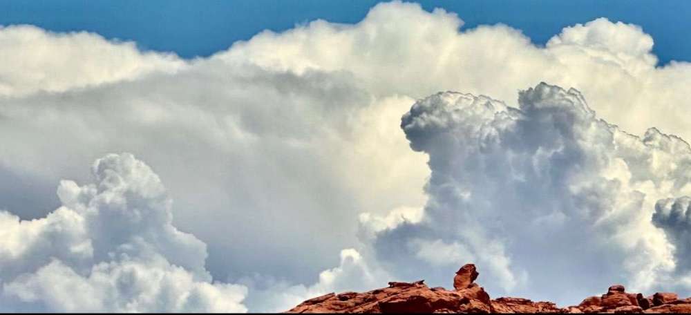
LIGHTNING!!!15 points
-
I've seen about 15 bolts and countless flashes. Thunder is rolling.14 points
-
Good afternoon all! It’s quite apparent I can’t stay put in the PNW! Monsoon season not that great down south thus far but I got a little entertainment in Az. Temps down in the SW during my visit ranged from 95-114* High of 84* and currently 81* in Federal away with cocktail hour in progress.


 14 points
 -
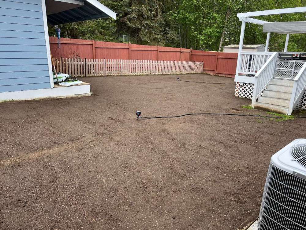
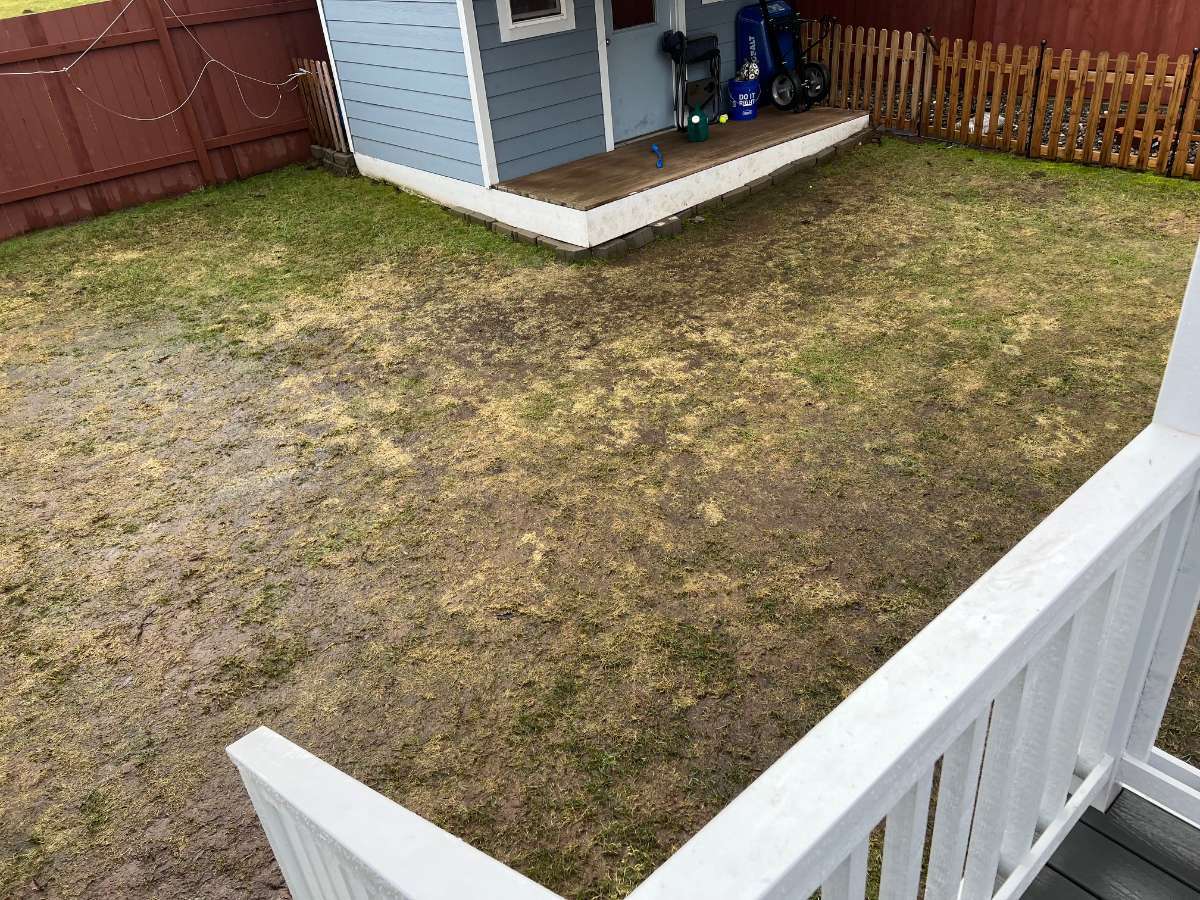
Topped out at 82 yesterday and got down to 58 overnight. We seem to have been talking about lawns a fair amount the past couple of days, and here is how things finished out with my yard project this spring Before: After the top soil was spread: After: The extended periods of cool and cloudiness in May and June really delayed the growth, but as soon as we got into some warm sunny weather, it really took off. One thing I noticed was that when I put down weed and feed, it actually worked and the weeds that had sprouted actually started dying off. I know that seems like a funny thing to say, but prior to doing this, I would put it down and nothing would really happen. I guess that just shows how compacted my soil was. Still need to put in a pad at the base of the steps off the deck, and replace the boards and brick border at the base of the shed, but otherwise things are good to go. We let the doggo back out there last night and she loved it. She ran around rubbing ber face in the grass and rolled around for several minutes.

 14 points
 -
A damn fine day to be alive.
 14 points
 -
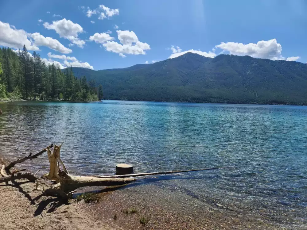
Beautiful day in Sequim. You can even see Mt Robbie nestled next to Mt Constitution.
 14 points
 -
I graduated back in March with a BS in CS, haven’t found a tech job since then though I’ve been applying to several positions a week. I’ve taken a bit of a break for now, it’s a depressing numbers game. We’ll get there, man. I gotta do my MS within a few years at this point. Only thing I got going for me is AmeriCorps in August, the only guys that’s giving me a chance. I do enjoy tutoring/coaching underserved high school students, it’s going to feel rewarding. Gonna be on the lookout for future techies and meteorology nerds!14 points
-
23 as of tomorrow!13 points
-
My Boeing son... who is obsessed with snow and cold and skiing and the greatest defender of the Puget Sound area. He loves all seasons. And scolds me if I ever complain about anything. He has had 17 surgeries related to a birth defect and a different perspective on life.
 13 points
 -
Now bigtime rain coming down! Lots of flashes everywhere!13 points
-
Coming down good now! One flash and a boom, otherwise just low muttering thunder.13 points
-
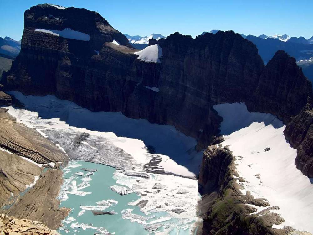
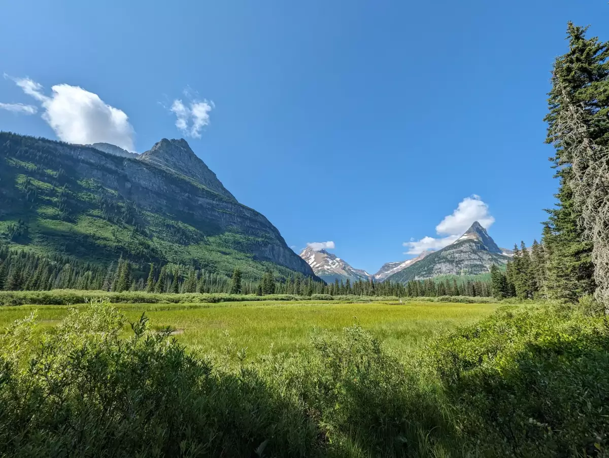
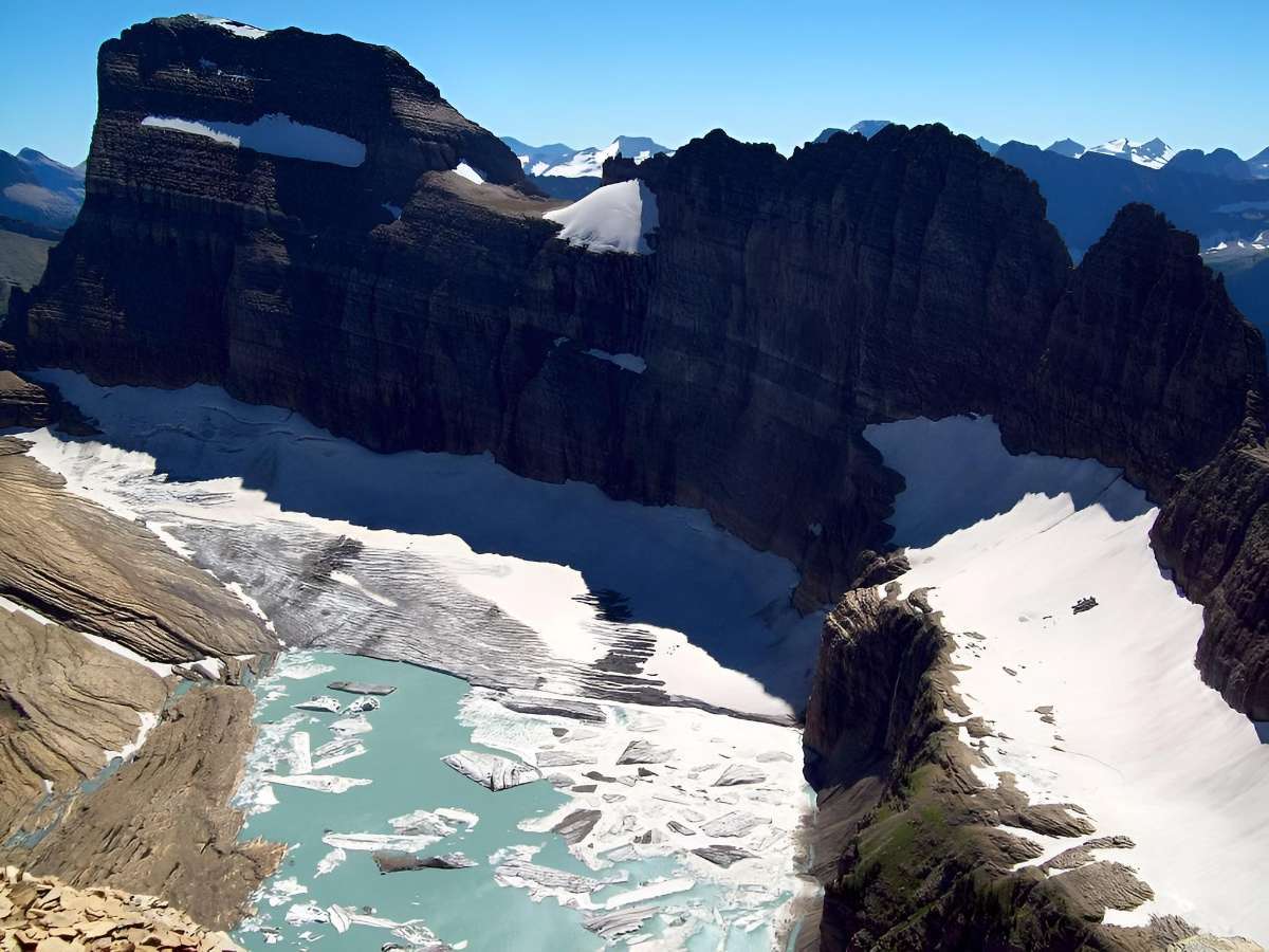
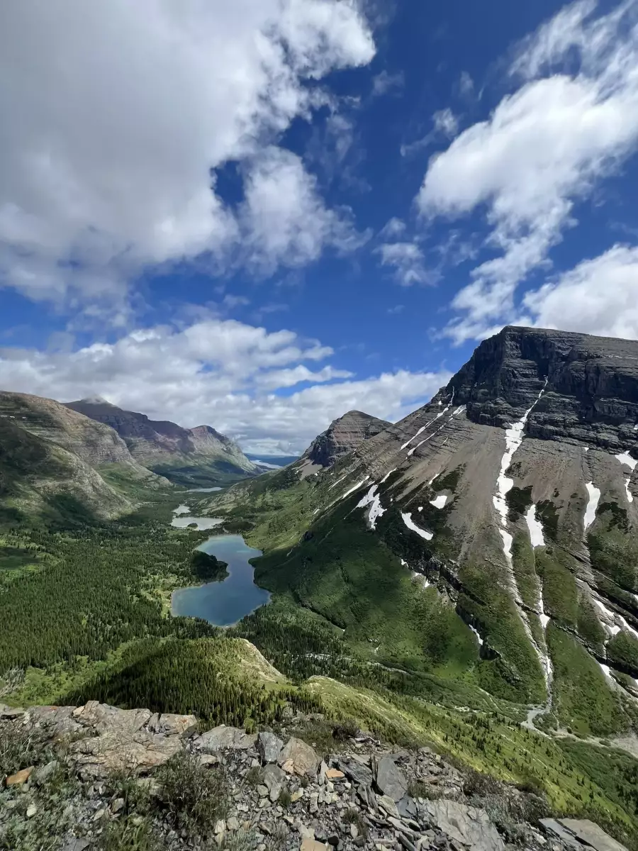
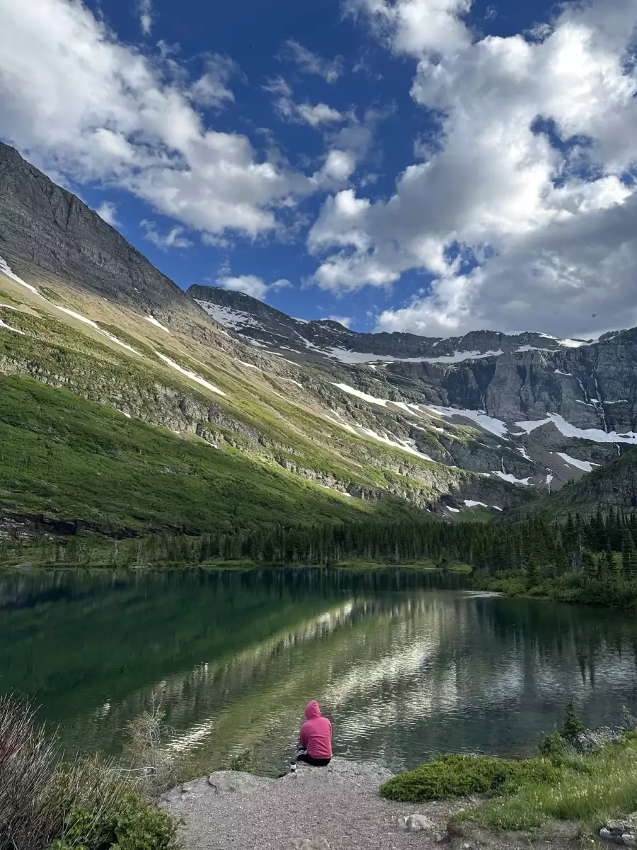
went next door to Glacier Park today and did some tooling around, cool place13 points
-
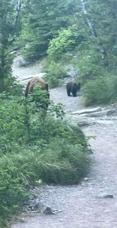
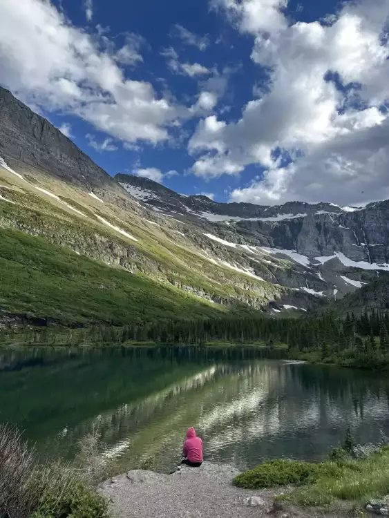
Been a wonderful last week in Montana, every time I come here I want to move back, it's just so beautiful here. Been doing a ton of boating at Lake McDonald, hungry horse, and flathead, and tons of hiking in Glacier national park. And we couldn't of asked for better weather while we've been here. Got charged by a momma grizz a couple days ago when we came around the corner of a trail and spooked her. Had her follow us down the trail for half a minute but what felt like an eternity, then she charged close to us to intimidate (not to attack), luckily it was pretty clear she wasn't going to attack us so we didn't need to use bear spray, I'd guess she got just about 15 feet away. Managed to capture a couple crappy pictures before they ran off.


 13 points
 -
On a more macro level , us being located in something of a transitional mid-latitude climate zone probably has something to do with it. Stuck almost evenly in between the influence of the North Pacific and Four Corners highs in the summer, and shortly before the transition from Mediterranean to the more oceanic climate of northern BC and southern AK. So we see kind of a tug-of-war between the two. Relatively speaking, we're pretty dang close to some extremely heat friendly environs just to our south and east in northern CA and the Columbia Basin. It stands to reason that as those zones shift bit by bit and hotter and hotter airmasses infiltrate the westside, we'll find ourselves capable of some big exponential jumps in our capacity for heat as we see more characteristics get exported from the adjacent climate subregions.13 points
-
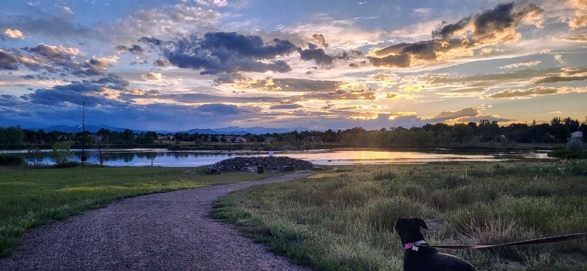
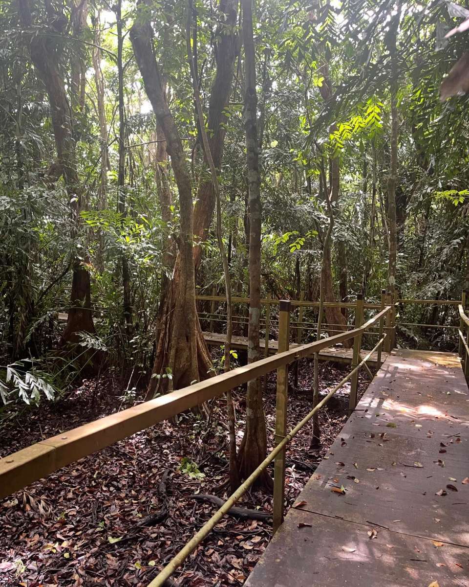
Nice evening at the neighborhood nature preserve.

 13 points
 -
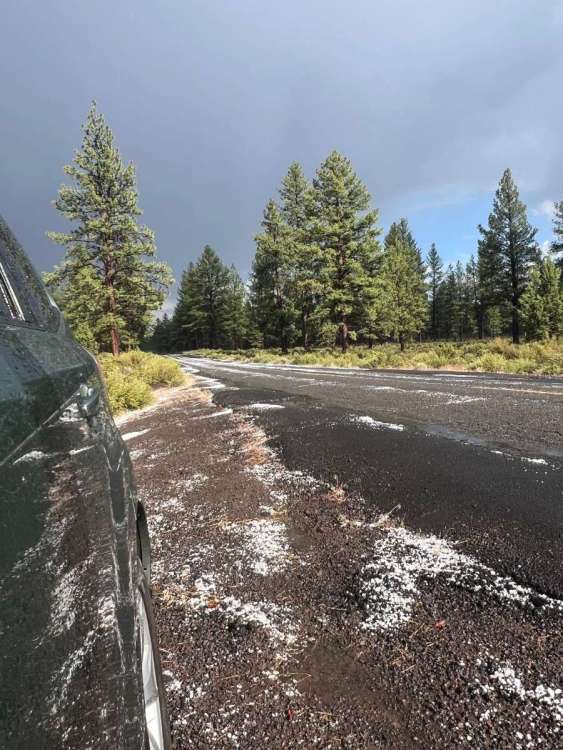
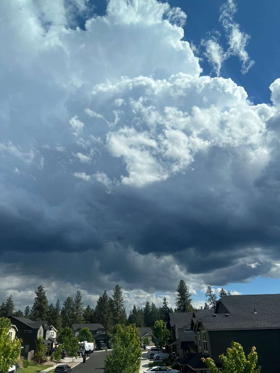
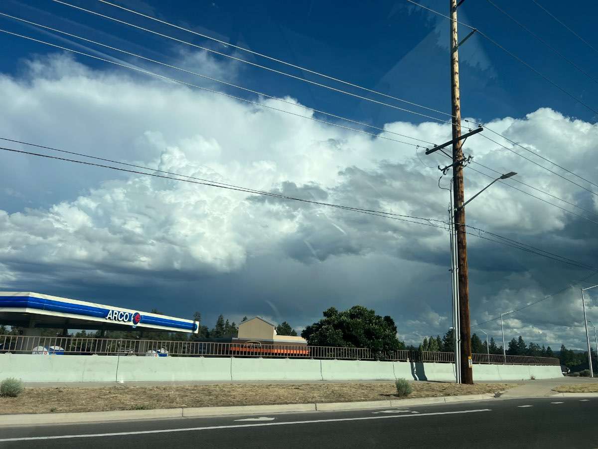
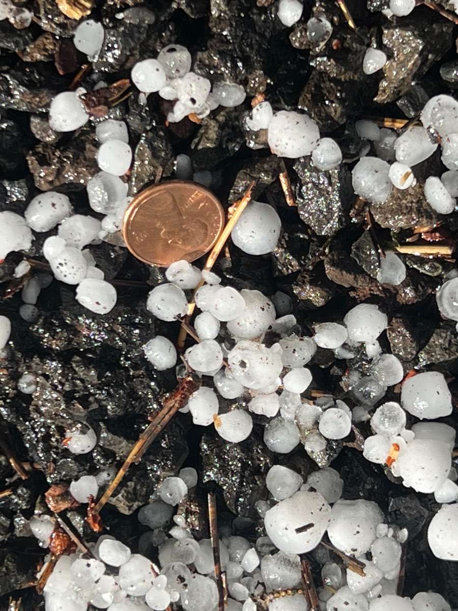
Beautiful day in Bend. Mid 70s and sunny with an unforecasted thunderstorm a few miles south. Drove out there and saw lightning and hail. Temp dropped from 72 at my house to 46 under the core 5 miles SE. IMG_5491.mov


 13 points
 -
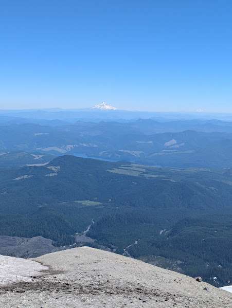
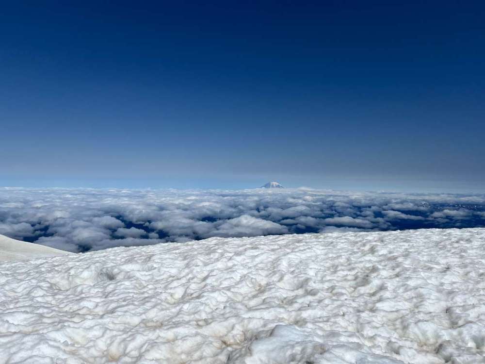
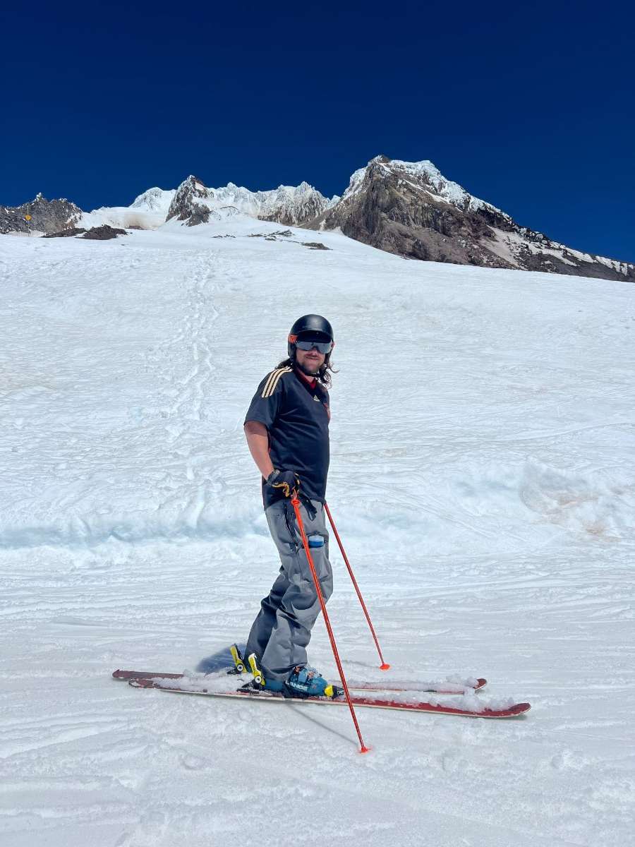
Climbed Mount Adams today. Temps were very cold probably mid-20s at summit with strong winds.

 12 points
 -
Pleasseeeeee...
 12 points
 -
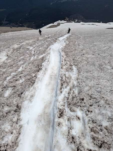
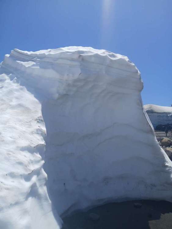
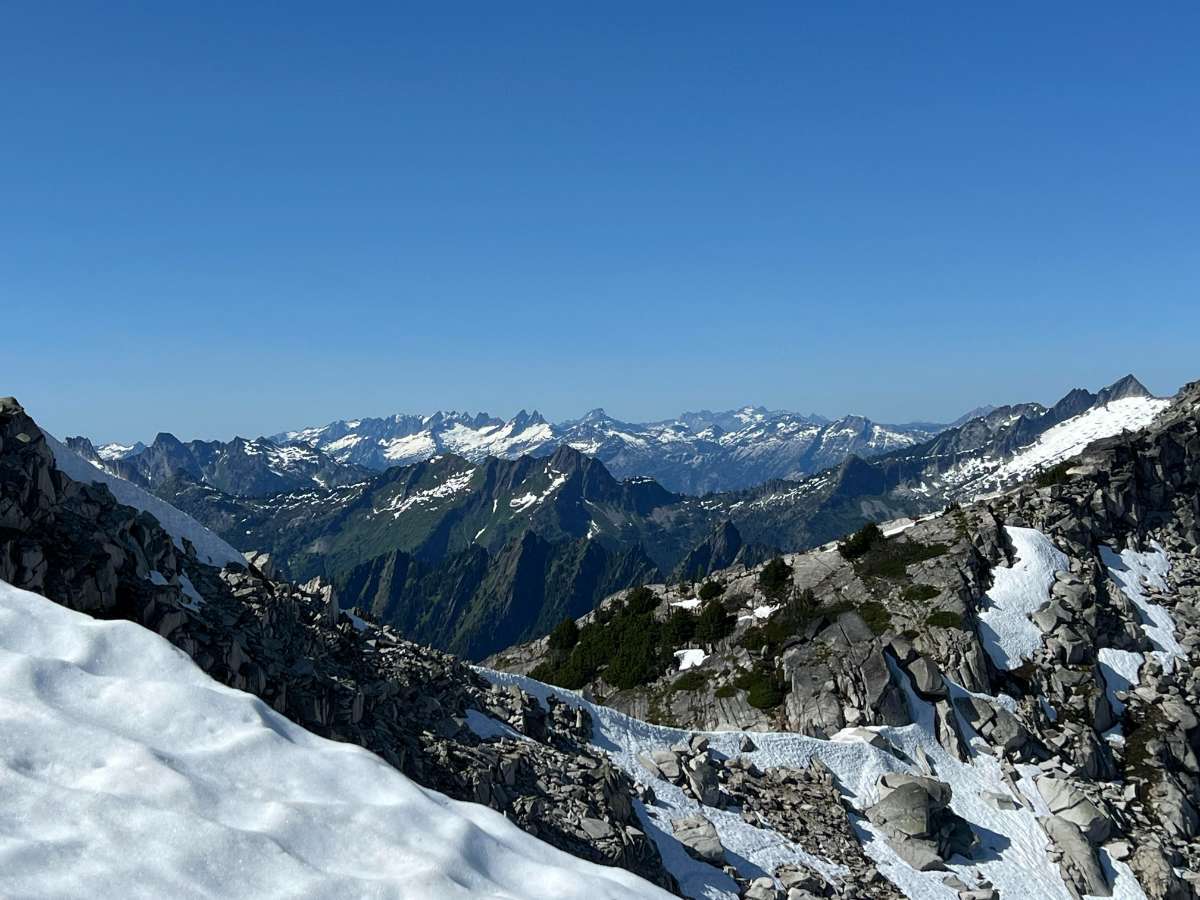
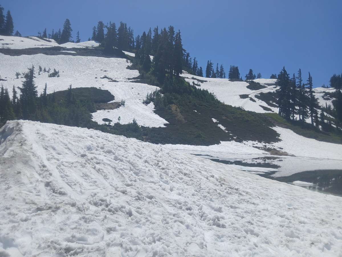
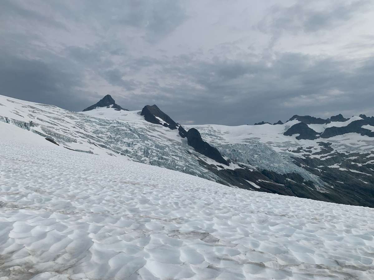
Hiked Hidden Lake Lookout yesterday. The snow is melting rapidly. People did the hike the day before (7/9) but their footprints were gone yesterday.
 12 points
 -
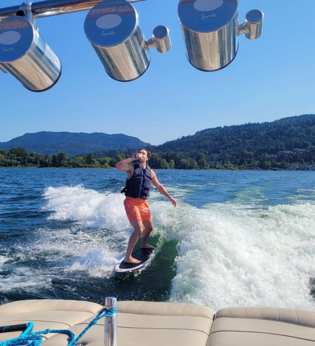
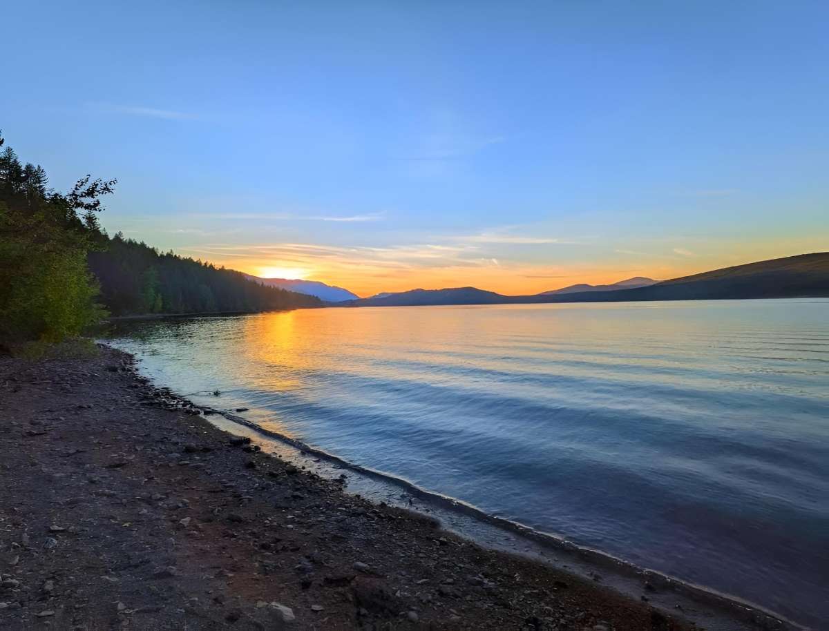
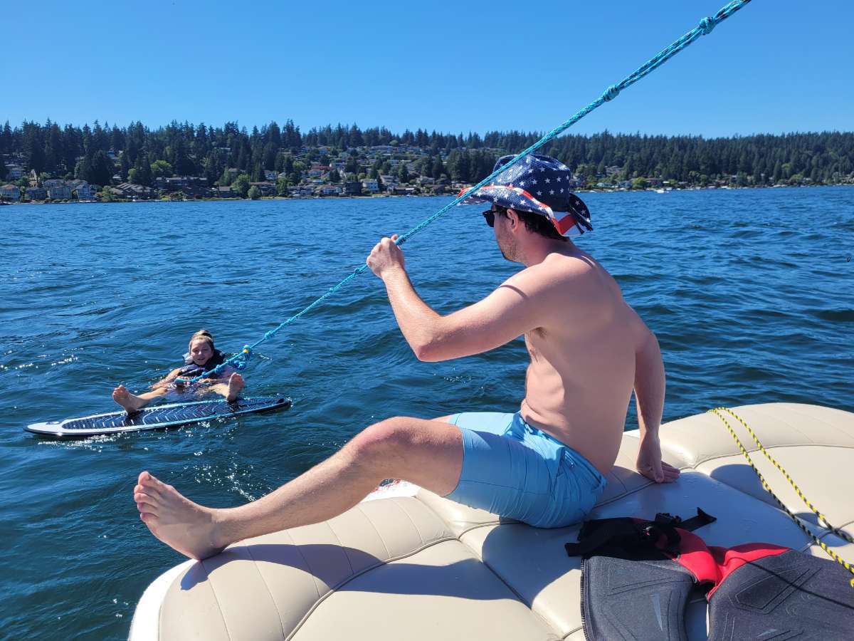
Saturday on the lake... last day before a 5 day biz trip to the SF Bay Area ()12 points
-
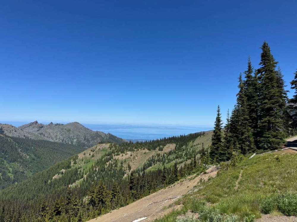
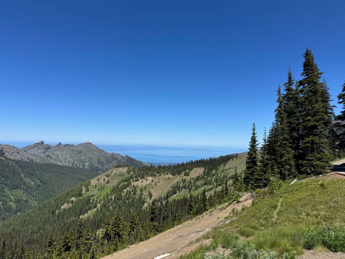
Went to Hurricane Ridge for the first time ever. Now I want to live up there.
 12 points
 -
Finally got my 300 ring!
 11 points
 -
Goldilocks weather out here
 11 points
 -
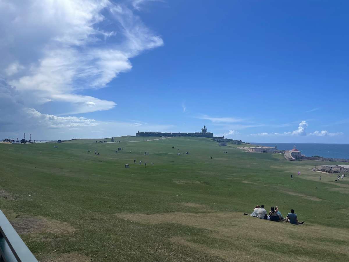
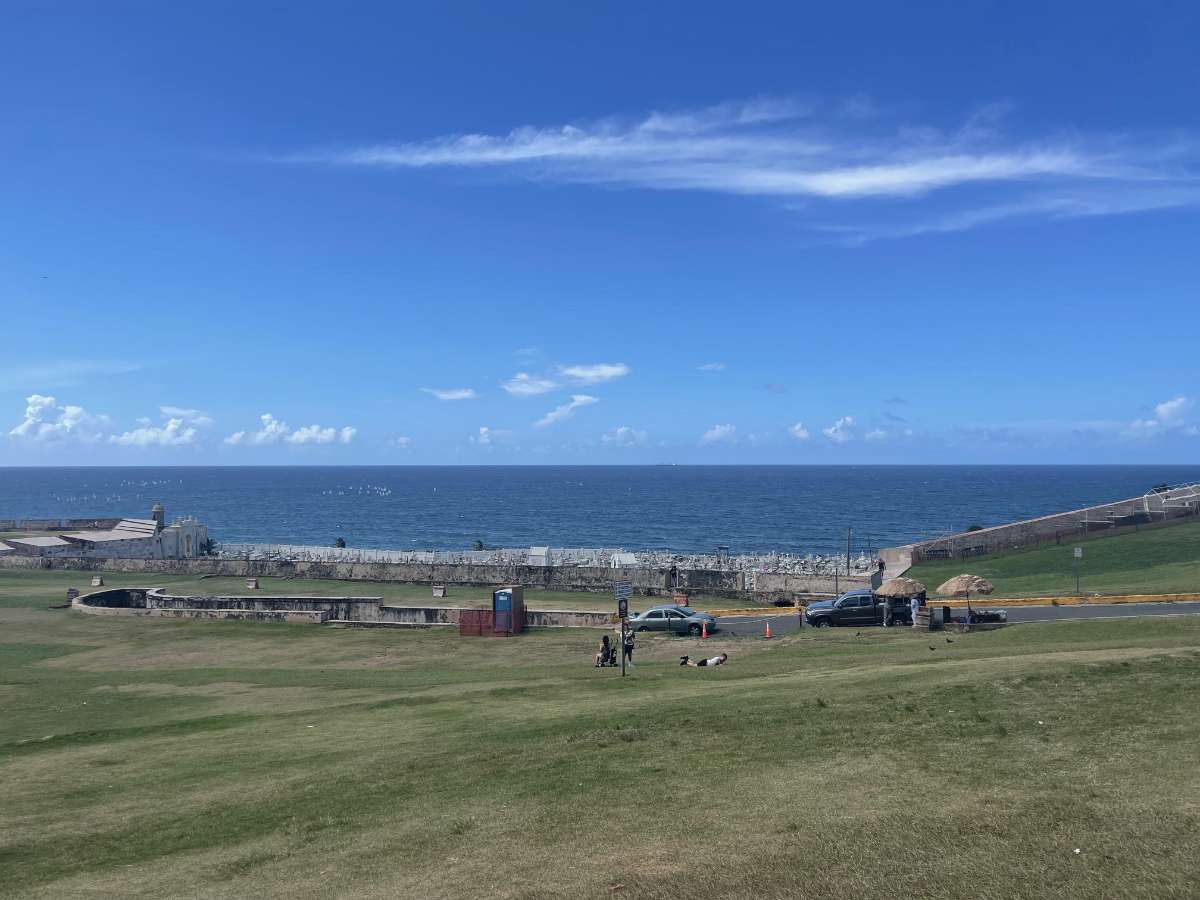
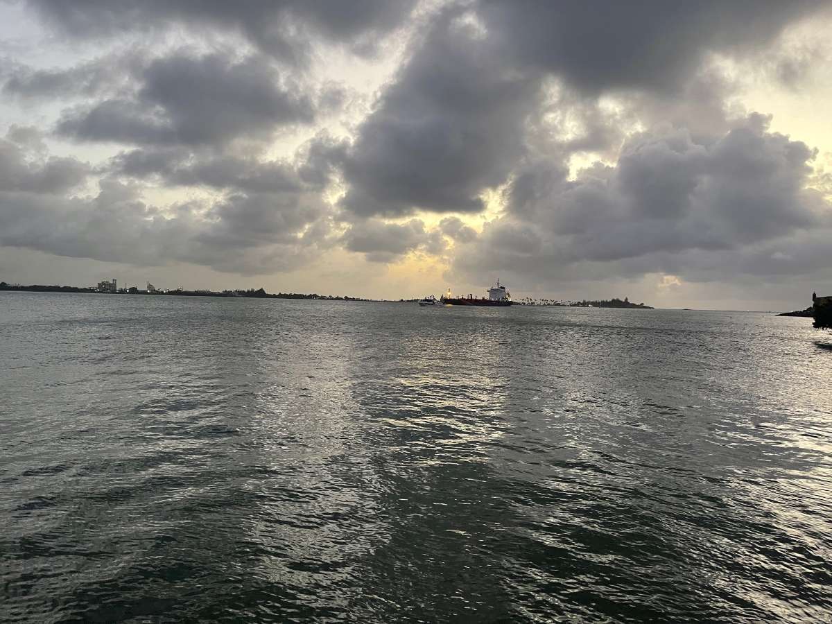
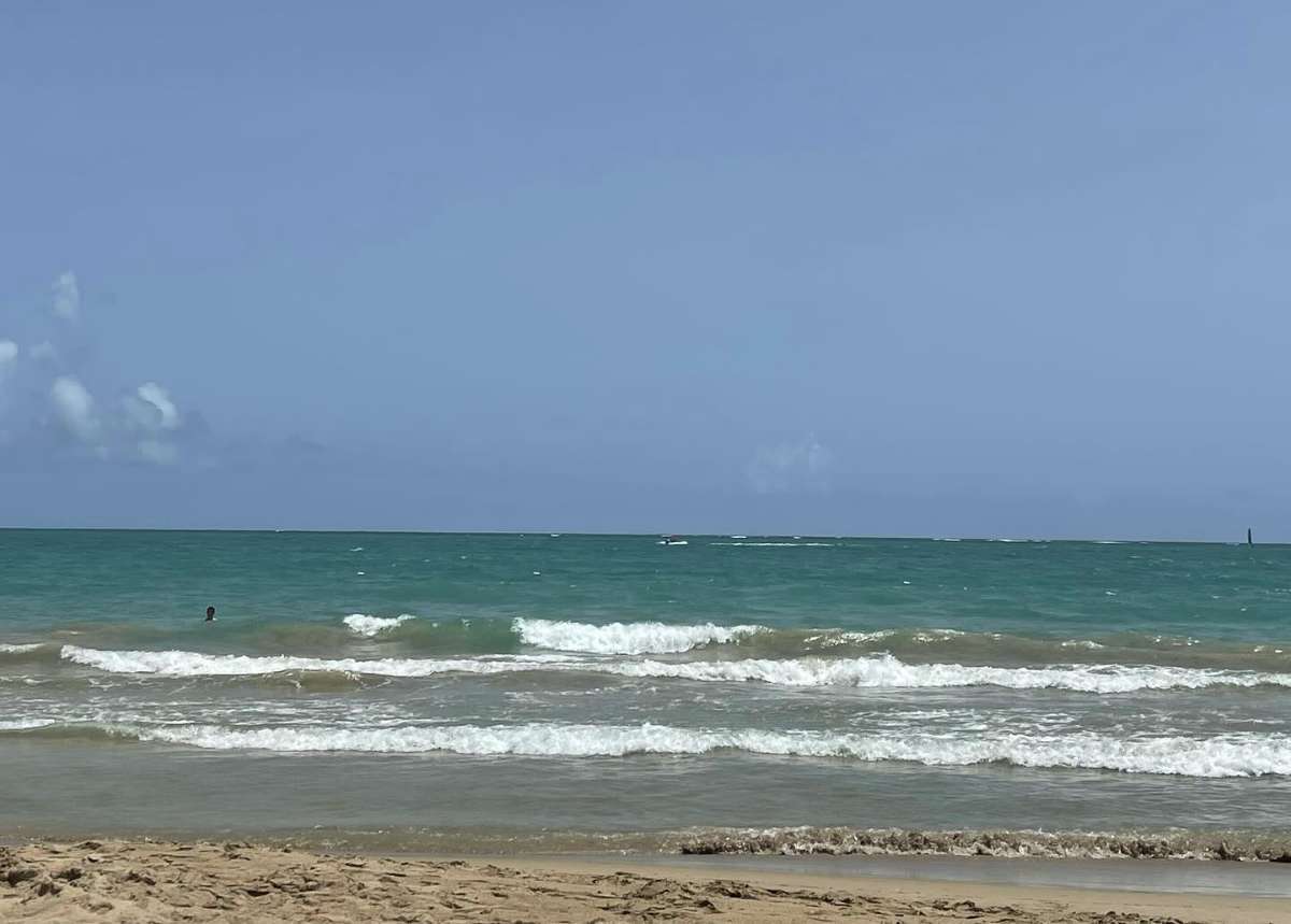
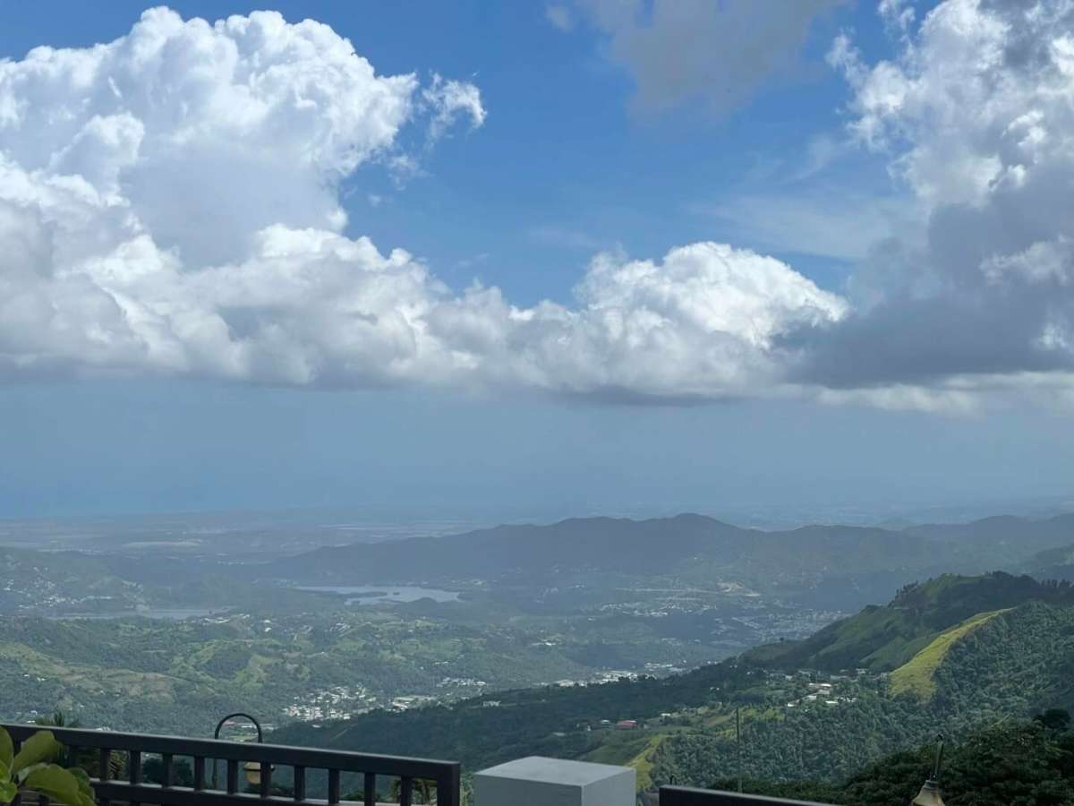
Back to Medford after 2 amazing weeks going back home and seeing my parents in Puerto Rico. Looks like we dodge the heatmageddon down here but we were welcome with smoke. Here are some pictures


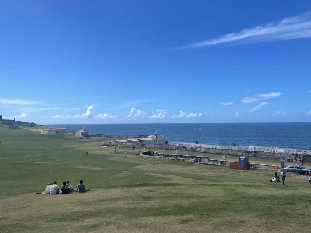
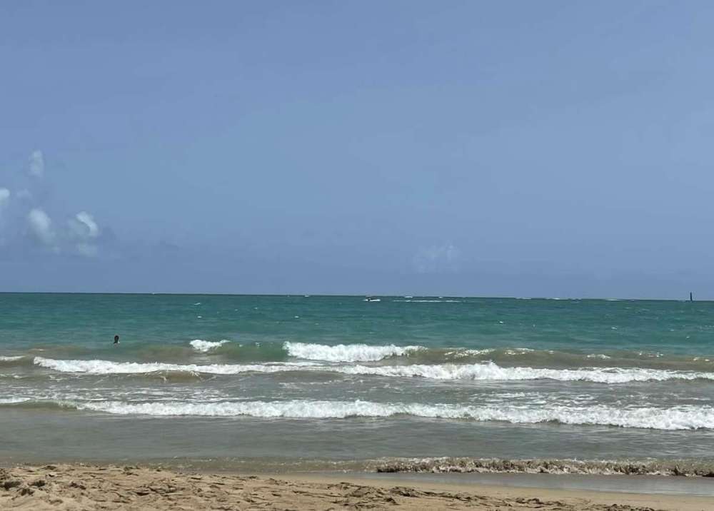

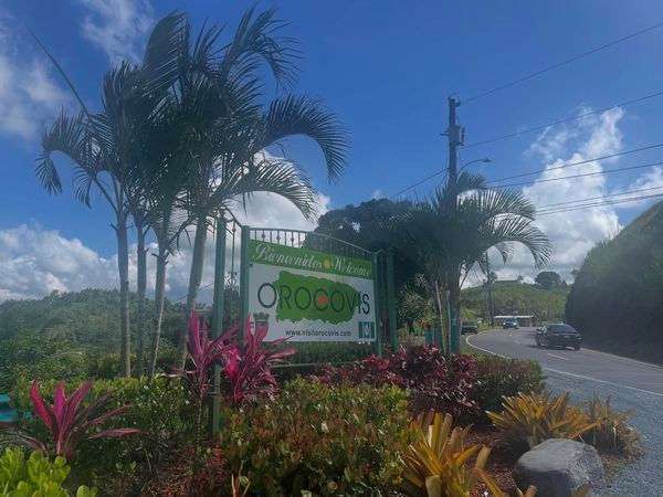

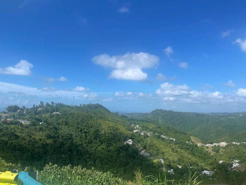
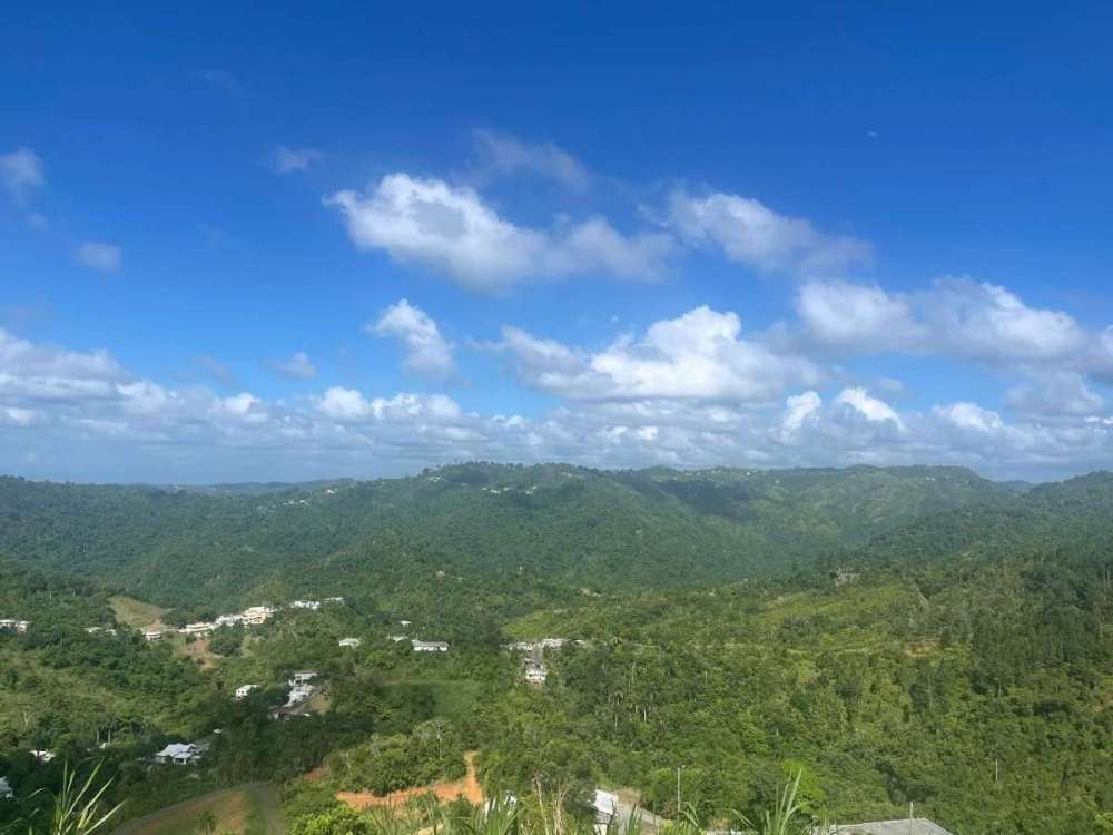 11 points
 -
Congrats Eugene!11 points
-
It’s HAPPENING
 11 points
 -
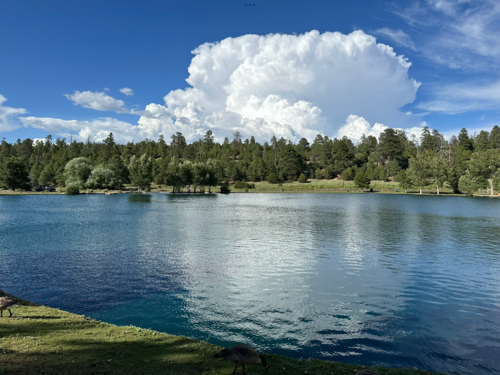
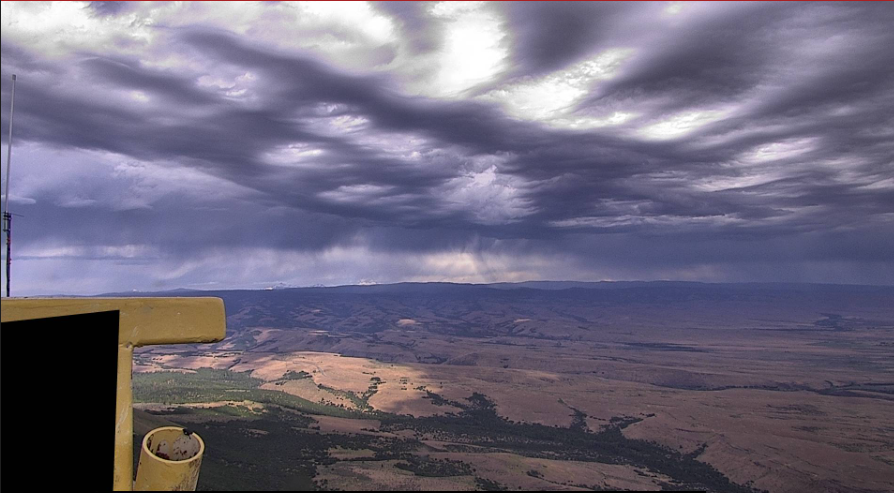
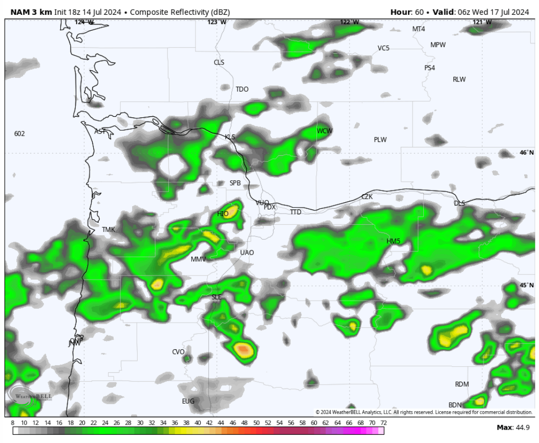
NAM going all out with showers/thunderstorms threat Tuesday night...
 11 points
 -
Back in Suncadia for a few days. Been in the low 90s in the day and around 60 overnight.

 11 points
 -
Ma Nature has turned on her AC tonight, best AC ever (free) and couldn't have come at a better time, nice breeze of cool air streaming through the house tonight!! House temp down to 75 and dropping!!11 points
-
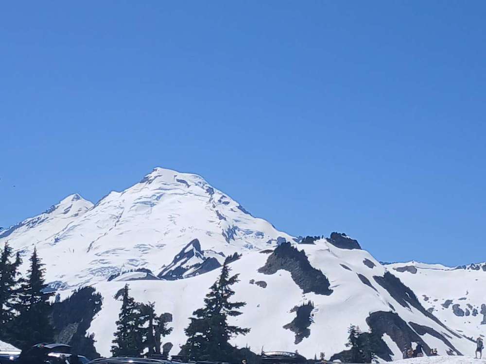
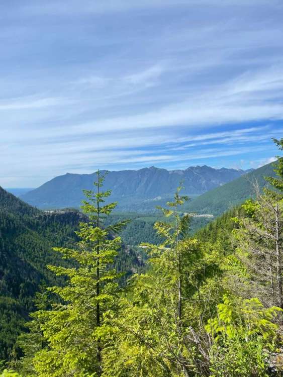
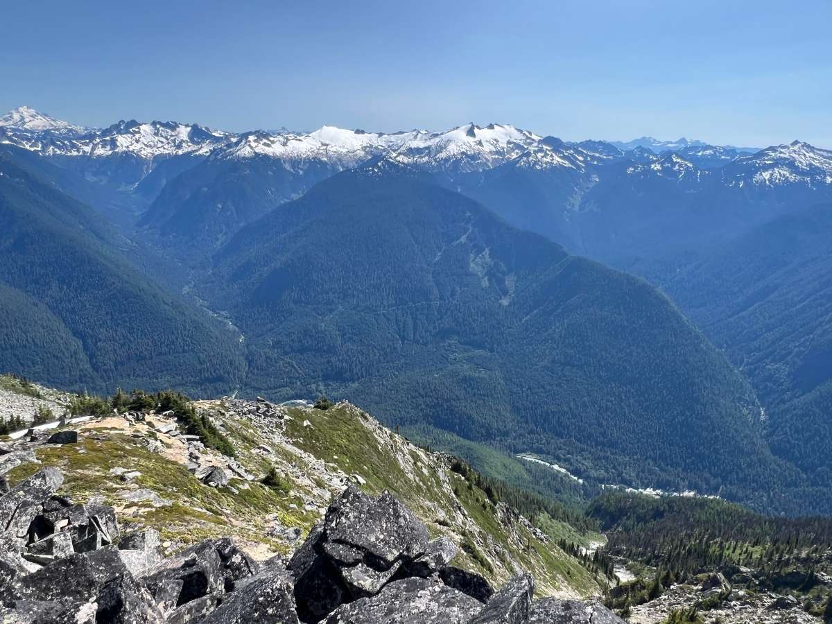
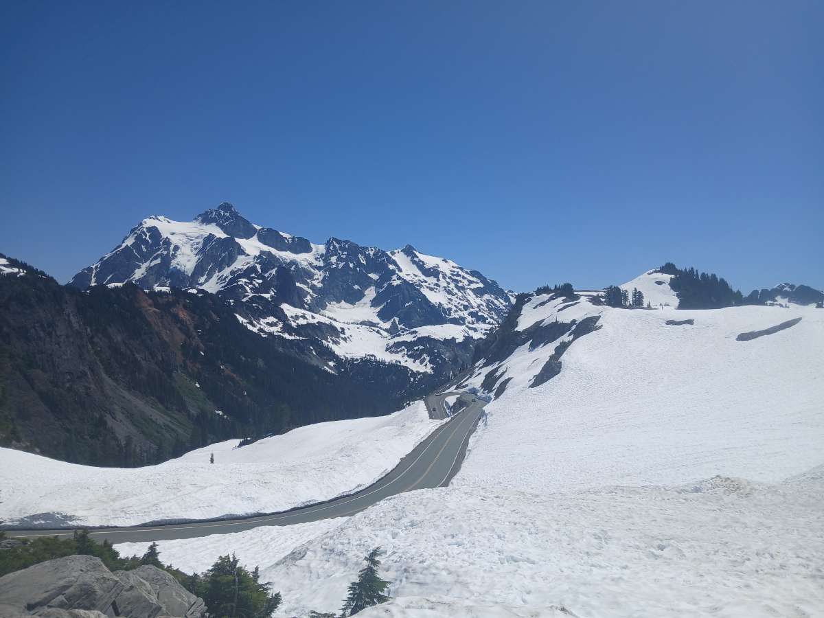
While the rest of you are baking in the lowlands, I went up to Artist Point (around 5000 feet above sea level) where there was tons of snow. Excellent views of Mount Baker and Shuksan as well.


 11 points
 -
Spectacular day... 86 in Issaquah. Water temp on Lake Sammamish was 74 this afternoon. Not a cloud in the sky so this was the definition of a wall-to-wall sunny day. We did WAY better today than we did on the 4th in 2010! Nice to see almost every house on our slow cruise back to the launch at the end of the day was having a party. Very festive out there.
 11 points
 -
Eugene was 93 when Portland was 116. Normally heat waves and cold snaps dont last as long in Eugene, because it's harder to maintain a continental air mass in Eugene vs. Portland due to the lack of a Gap in the Cascades nearby, and the fact that downsloping winds are less common. Disclaimer: Not saying you'll be cooler on Sunday, just explaining the dynamics.11 points
-
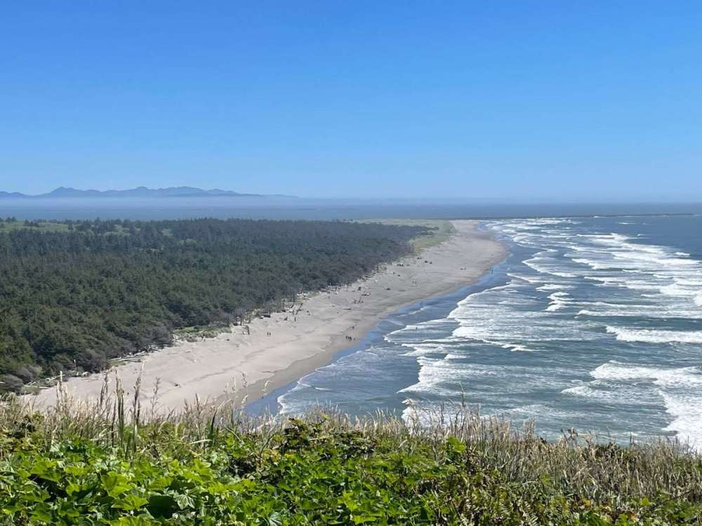
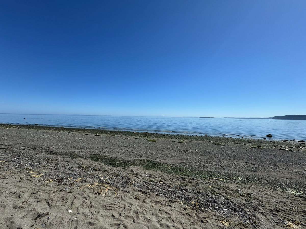
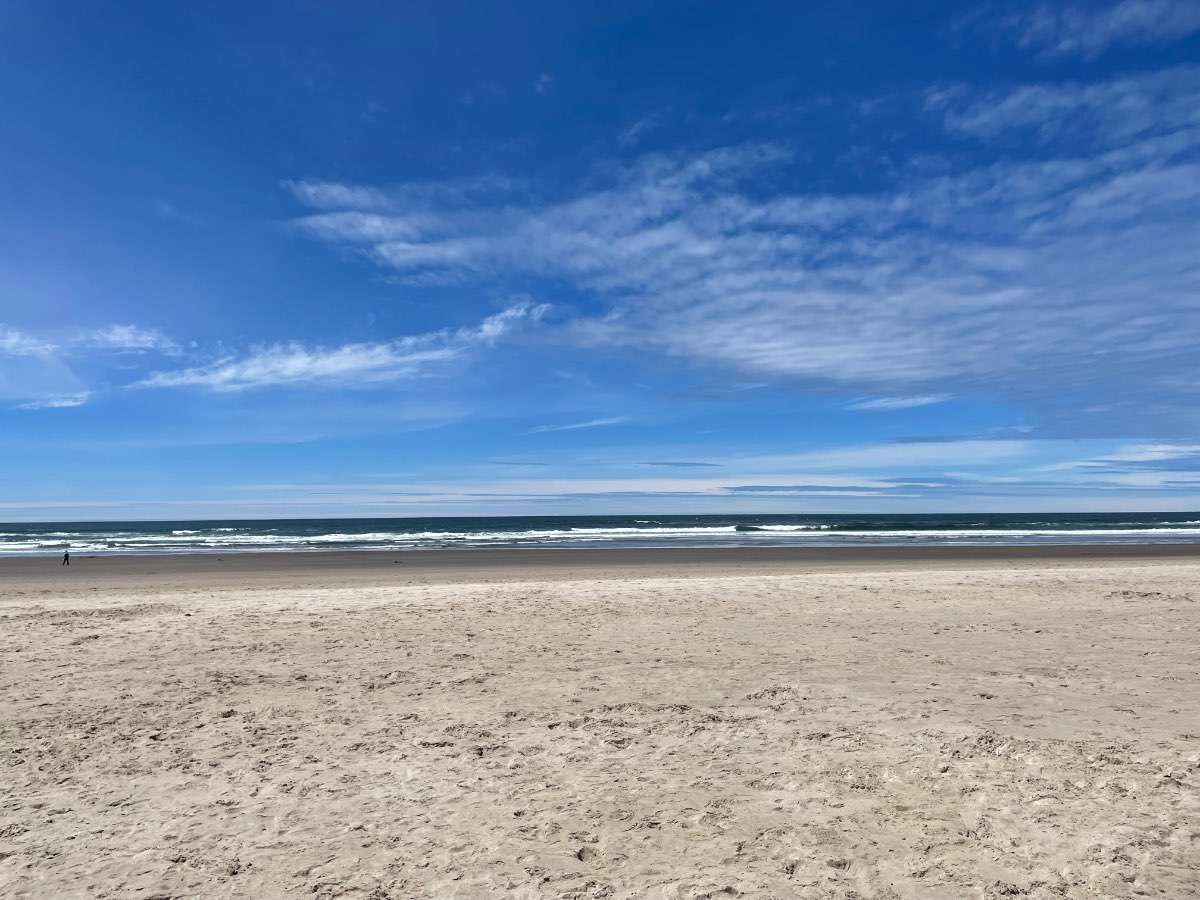
Perfect at Rockaway Beach
 11 points
 -
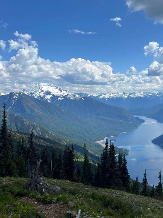
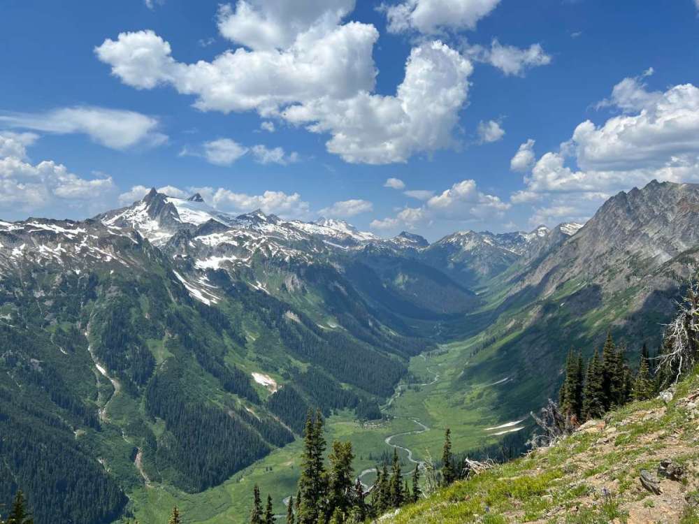
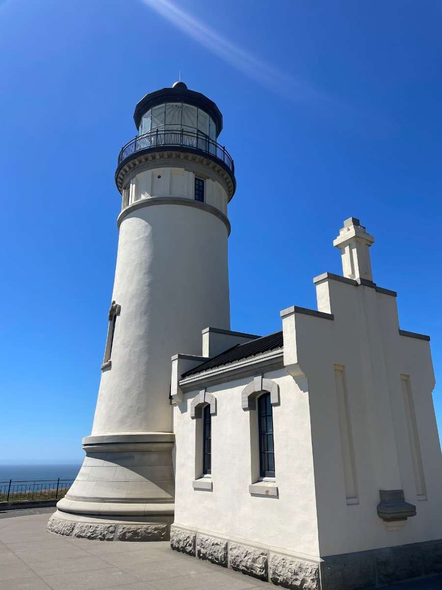
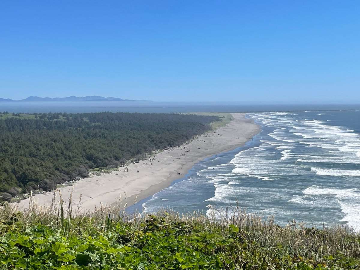
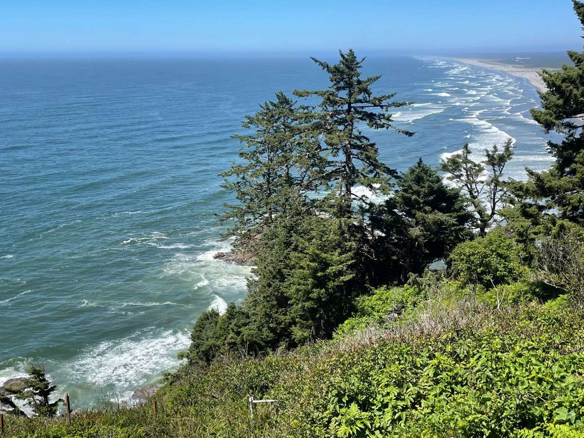
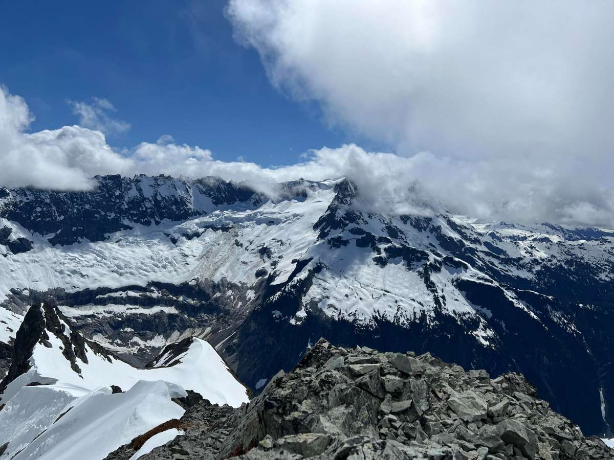
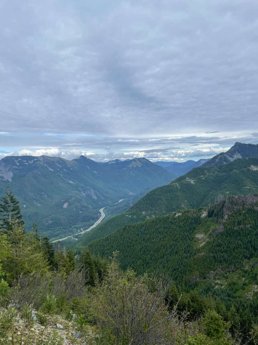
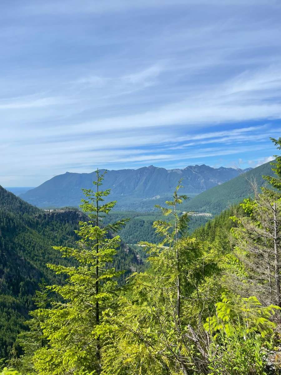
North Cascades=best range in lower 48

.thumb.JPG.932cfe2f89c8fb1846f5b382b770536c.JPG)
.thumb.JPG.25cac5a77c01c891389e7194c7393688.JPG) 11 points
11 points -
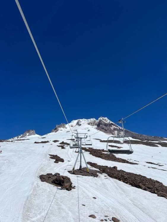
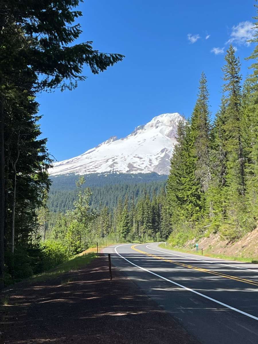
Gorgeous day yesterday for some summer skiing at Timberline. 79 in Bend today, this has been a wonderful stretch of seasonable summer weather.

 11 points
 -
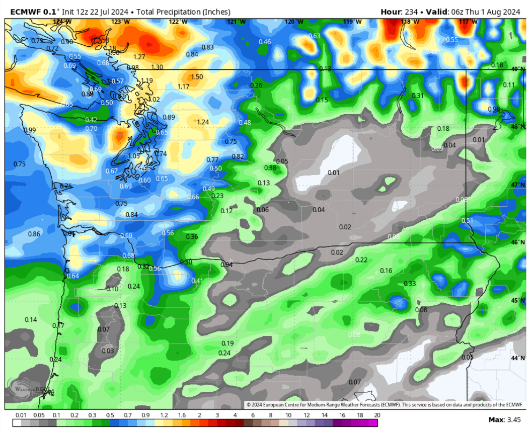
First warm core thunderstorms of the year now looking pretty likely for Tuesday night into Wednesday. Can't remember another year where we went into mid July with literally nothing in the western OR/WA/BC region in that department, but at least we're getting off the schneid.10 points
-
PDX current temp
 10 points
 -
Just hit 100 here for the first time this summer.10 points
-
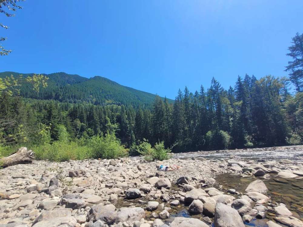
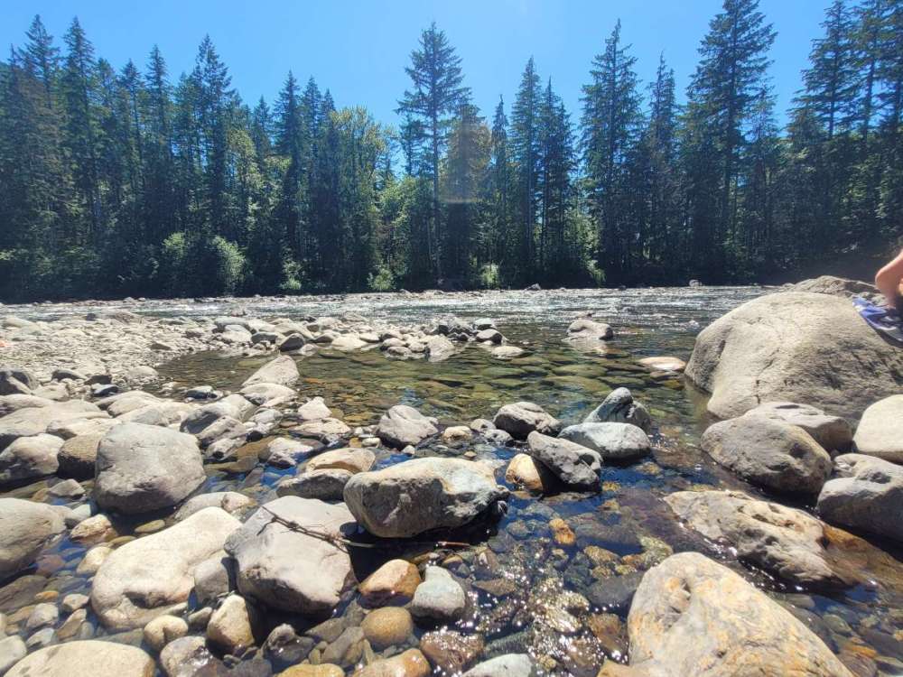
Middle fork of Snoqualmie River. Daughter and friend and exploring while my wife and I have chairs in the water and a margarita. As long as your feet are in water it's tolerable. 90 degrees.
 10 points
 -
Got out on the south side of I-90 this afternoon near Mt Washington. Had a nice view of Seattle’s delicious water supply. Also saw a black bear up there. That forest is the wettest I have ever seen it at this time of year. Completely soaked, streams and creeks running strong.

 10 points
 -
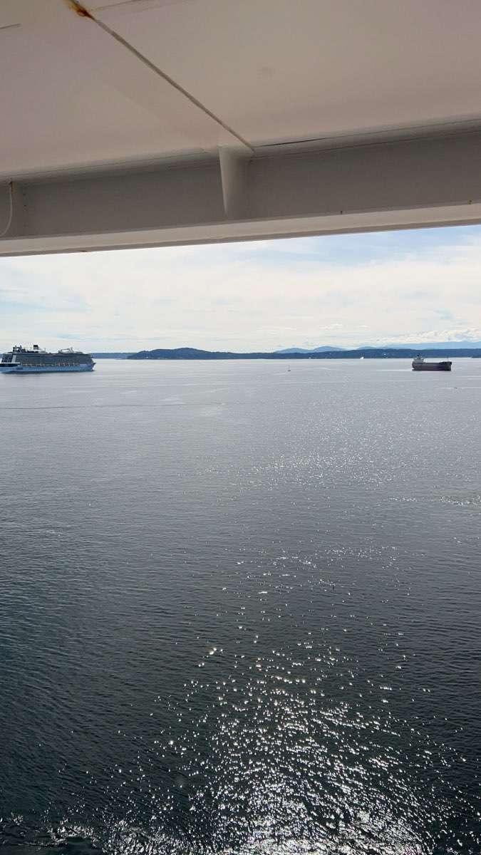
And I’m off to Alaska on my first cruise ever! Weather is not suppsoed to be Tim friendly but it’s going to be cool to witness longer days and the later sunsets. I’ll be stopping in Ketchikan, Juneau, Skagway, And then Victoria. Sunset will be around 10:20pm when I’ll be in Skagway and Civil Twilight will go until almost midnight and then start again around 2:20 am and it never gets darker than nautical twilight once I get to Alaska. First time I’ll be witnessing something like that.
 10 points
 -
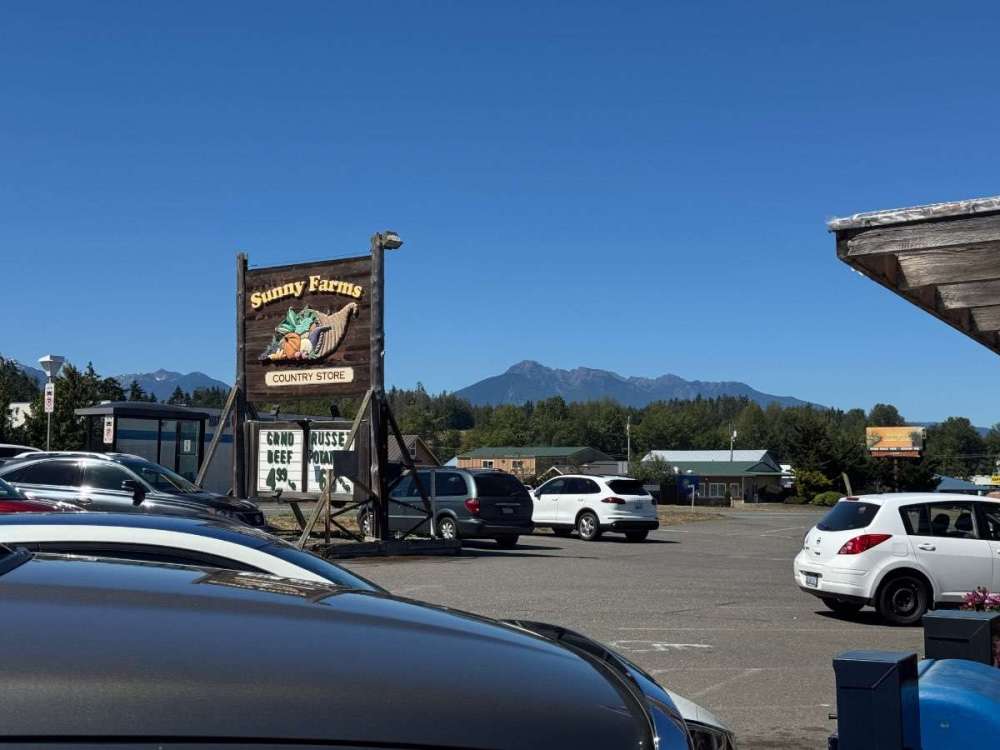
Nice view from Yakima: https://www.alertwildfire.org/region/oregon/?camera=Axis-SatusPeak
 10 points


.JPG.88a8d7616fe7fb43ae6bf1157eeb32f7.JPG)
.JPG.7866d6602c444767f23fa3a29bca209c.JPG)


This leaderboard is set to Vancouver/GMT-07:00