

Yerf
-
Posts
186 -
Joined
-
Last visited
Everything posted by Yerf
-
New Year's Weekend Potential Major Winter Storm
Yerf replied to Scott26's topic in East of the Rockies
Looks like LOT, IWX, and MKE are all in agreement. lOT holding off any posts until midnight -
New Year's Weekend Potential Major Winter Storm
Yerf replied to Scott26's topic in East of the Rockies
By tomorrow morning (when the northern stream is on shore) we should have a really good idea on what this storm will do -
New Year's Weekend Potential Major Winter Storm
Yerf replied to Scott26's topic in East of the Rockies
The thermal profiles for the GFS and euro are the same which gives me some confidence -
New Year's Weekend Potential Major Winter Storm
Yerf replied to Scott26's topic in East of the Rockies
I don't think this is an ice storm. I think models will tighten up on that -
showing the 6-10 and 8-14 day temp and precip outlook
-
https://www.facebook.com/NWSChicago/photos/a.170461579677551.41001.164132806977095/833550730035296/?type=1&theater
-
New Year's Weekend Potential Major Winter Storm
Yerf replied to Scott26's topic in East of the Rockies
The models are all over the place with the speed of the low. I think the GEM is too quick -
New Year's Weekend Potential Major Winter Storm
Yerf replied to Scott26's topic in East of the Rockies
From LOT THE CALI LOW WILL EVENTUALLY EJECT EAST AND NORTH FRIDAY INTO SATURDAY. THE CLASH OF THE WARMER GULF AIR AND ARCTIC AIR ENTRENCHED OVER THE REGION LOOKS TO RESULT IN A DYNAMIC WINTER STORM SYSTEM. PRECIP TYPE WILL BE AN ISSUE SOMEWHERE IN THE REGION AHEAD OF THE LOW...WITH AN IMPRESSIVE DEFORMATION SNOW BAND EXPECTING TO SET UP BEHIND IT DUE TO A REPLENISHMENT OF COLD AIR AND STRONG BAROCLINIC ZONE -
Really looks like the cold air will settle in after this Sunday
-
Caplan
-
A local met in Chicago said the thunderstorm activity in the south may rob the storm of moisture as it heads north. I've never heard of that
-
WRF is spitting out 6-7 inches total accumulation for these counties
-
Just going to post that Tom! Looking good
-
I'm liking the GEFS ensembles
-
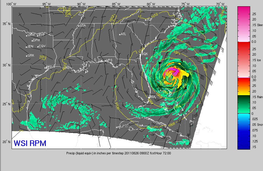
Skillings' RPM at noon had a ton of moisture with rain changing to snow around 5:00pm on Wednesday. Pretty good defo band just not a lot on the snow totals.
-
48hrs away and the models still having problems
-
LOT mentioned the strength of the downstream ridge which will limit how far east the low will go
-
Check out the GFS totals on this video. Fast forward to the 3:00 mark http://chicagoweathercenter.com/blog/forecast-snow-could-affect-christmas-eve-travel
-
I'll take this
-
From NWS MODELS...THEY HAVE CONSISTENTLY FORECAST A DEEP LOW TO DEVELOP. FOUR CONSECUTIVE RUNS OF THE GFS AND EC HAVE SHOWN 975MB OR DEEPER LOWS BY 12Z ON CHRISTMAS MORNING ACROSS THE GREAT LAKES/SOUTHERN ONTARIO/NORTHEAST U.S. REGION
-
From LOT THERE REMAIN SIGNIFICANT DIFFERENCES AS WELL AS RUN-TO-RUN VARIABILITY IN THE TIMING AND TRACK OF THE LOW AS IT LIFTS ACROSS THE MIDWEST MIDWEEK...WITH COMPLICATIONS AS THE MODELS DEAL WITH PHASING THE SOUTHERN LOW WITH A CLIPPER LIKE SYSTEM. WILL CERTAINLY HAVE TO KEEP AN EYE ON THE POTENTIAL FOR ACCUMULATING SNOW TUESDAY INTO WEDNESDAY
-
Something is brewing. It's nice to see relative model consistency
-
Wow. That storm for Christmas looks crazy. Definitely a change in the pattern boyos
-
What's the time frame for snow hitting N IL? Late afternoon?
-
I meant LES
