


Meatyorologist
-
Posts
8928 -
Joined
-
Last visited
-
Days Won
13
Everything posted by Meatyorologist
-
Watching this NAM roll out is like watching someone defuse a bomb
-
NAM has a nearly identical track as its 06z run with sped up timing and a stronger low.
-
HRRR does have one hell of an anafrontal push though. And a Strait surge snow squall! That I would have to see in person.
-
12z HRRR is massive sad crap
-
A lot is changing though as the low forms right now. Going to be a last minute adjustment north it seems, based off the HRRR.
-
Holy shizzz. Just peeked at the 06z suites, and what I see is pretty incredible. This could be a very, very major snowstorm for Seattle. Lots of lift and saturation in the DGZ, and powerful rates for keeping precip type as snow Tacoma north. Gawd, maybe even some thundersnow??? And with the track this close, I could see lots of snow falling around brief rain, even if it does occur. And then there's the PSCZ fun immediately after into Wednesday evening. And the harsh cold to follow. FUN
-
Oh lawd. Even a slight move north on the models would be bad! Let's just lock the HRRR in and call it a day!
-
30F here with light snow.
-
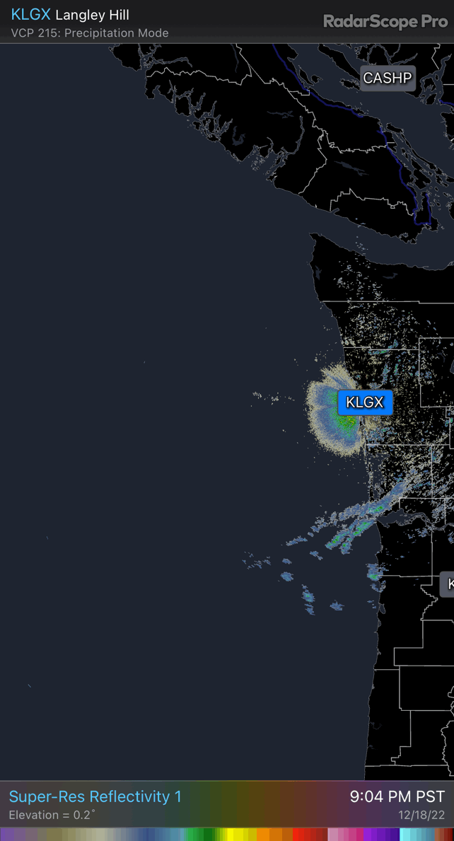
Already starting to see our first glimpses of Tuesday's system on the coastal radar.
-
The cold air machine gets revved on Wednesday into Wednesday night no matter what, the George being the faucet and the Willamette being the bowl, and it'll fill up my guy. You're gonna BREAK DAT SCHTREAK
-
IMO the Euro is too aggressive with the cold air scouring and doesn't have enough low suppression. This air mass is a beast and will throw a wrench into most conventional fcst means we've used this last decade
-
Same with the RGEM
-
sharp gradient and complex TPV dynamics
-
-
Not much of a reveal, given your pfp! Thx for sharing tho!!
-
Nice!! Epic view too
-
Loving the face reveals tonite
-
haha that's messy but EPIC!! messy is okay!! own it! ...i am a little drunk right now
-
The dry and Arctic variety too; not the slushy BS that destroyed half your ecosystem the other week.
-
Snow starting to fill in over Seattle. Hopefully this lasts.
-
Love the beard bro
-
Hate how shadowing is becoming an increasing concern for Tuesday. Weaker system means weaker lift and more meridionally oriented precip direction, and downsloping off Olympics.
-
Lytton down to 3F.
-
I am fully aware of that..
-
There will probably be a fairly sharp E-W snowfall gradient tonight. All this snowfall is occurring due to very low level moisture... Low level terrain is playing a pretty substantial role in precip intensity.


