


Link
-
Posts
931 -
Joined
-
Last visited
Posts posted by Link
-
-
5 minutes ago, TT-SEA said:
Horrible.
Yeah those trains are REALLY scary when flying down the line! We must get together and ban train travel so no more fires can occur from wheels! Or should we just ban the wheels that causes said sparks?
-
 2
2
-
-
1. PERISHER
Known for
Being not only the largest ski area in Australia but the entire Southern HemisphereHighlights
- A diverse variety of terrain to keep skiers of all abilities happy
- Handy skitube alpine railway helps you avoid icy roads to the resort
- Family friendly resort with tobogganing and tubing available
- No real ski village and too many long T-bar lifts still in operation
Closest airports
Kingsford Smith Intl. Airport - 297 mi (5.5 hour drive) -
Don't believe me?The 5 Best Ski Resorts in Australia - UPDATED 2021/22 - SnowPak
Looking for a powder fix this Summer? Why not try down under? The southeastern states of New South Wales and Victoria are home to a whole bunch of diverse ski areas, and we’ve skied them all again and again to give you our pick of the best 5!
Due to COVID-19, safety measures were put in place by Australia which impacted the 20/21 ski season. These included mandatory 14-day hotel quarantine for all international travellers, mask-wearing and physical distancing. In Victoria which is home to Mount Hotham and Falls Creek, travellers from COVID-19 hotspots such as the Melbourne CBD were not permitted. In New South Wales which is home to Perisher and Thredbo, testing was strongly encouraged for the mildest of symptoms and face coverings recommended in all public spaces. Such restrictions are not anticipated to continue into the 21/22 winter season.
-
On 6/26/2021 at 8:20 PM, Andie said:
Ice Age Now Blog Author
author of Not By Fire But By Ice.
It is with a heavy heart that I must make this post. I just learned that our friend Robert Felix has passed away on June 10th. He was a great friend and brought so many of us together. Nothing that I can write here will be able to do justice to the person that has been part of our lives for so many years. I am thankful that I was able to meet him and his wife over the Memorial Day weekend. Please take a moment to share your memories of our friend and I will do my best to get the comments approved for everyone to see. Thank you so much for being part of this site over the years. I know Robert enjoyed being able to share this thoughts and communicate with everyone here.RIP my friend. I will miss you.
Sincerely,
Dan – Your long time friend and site admin.If you look at most of his post his 'headline' ones usually were just a small area being made large like a weird part of Australia having snow they usually get once every 5 years or so where almost nobody lives. YES THEY HAVE SKI RESORTS!! Though he nailed a lot of the inner science stuff down pretty well that regular science refuses to touch with a 10-foot pole.
-
On 6/30/2021 at 9:55 AM, iFred said:
This a bit of a gut punch. I remember listening to him on Coast to Coast back in the early 00s and I would always check out his blog to see the latest cold focused news and events.
I like him but would like also non bias sources too.
") He isn't it for obvious reasons. Too bad there ISN'T any.
He isn't it for obvious reasons. Too bad there ISN'T any.
-
Am I the only one if so why OR is there a major forum software change as it all looks different yet no mention of it anywhere. Someone forgot whoops e daisy!
-
1
-
 1
1
-
 1
1
-
-
1 hour ago, Phil said:
I will be performing some black magic this evening to kill that 4CH. Then the rains will come.
-
29 minutes ago, Rubus Leucodermis said:
There are rumors it was sparks from a train.
Just like suing the hell out of PGE gotta ban them trains from moving. They are DAAAAAAAAAANGEROUS! (Unless they don't move)
-
1
-
-
1 hour ago, Deweydog said:
The amount of people who have no idea how to read an ensemble mean appears to be growing.
What is 'read'?
-
What happened to the upvotes? I don't see any mention of changes in the board section of this forum.
-
 1
1
-
 1
1
-
-
Will the ocean layer ever come? I'm pushing the button! I'm ready to send some NSFW letters to the maintenance staff for the slow elevator.
-
On 6/11/2021 at 11:57 AM, snow_wizard said:
It's probably cyclical. There is strong evidence of major SW US droughts in the past and some of them have probably nosed up into OR.
What do you think winters were like in general during those times?
-
13 hours ago, BLI snowman said:
Yep, so was I

I didn't have to do anything special with it.
What was the date of the June thunderstorm we had that broke apart as it came across the north valley? Silver Falls was briefly under a tornado warning then and Salem had some floods briefly.
-
13 hours ago, BLI snowman said:
Yep, so was I
I didn't have to do anything special with it.
When I do it here is how it comes out. Oh it works now! I wonder why it wasn't working before?
TTAA00 KPDX 110537

OREGON STATE WEATHER SUMMARY
NATIONAL WEATHER SERVICE PORTLAND OR
1030 PM PDT MON JUN 10 1996

A WEAK WEATHER DISTURBANCE IS MOVING ACROSS THE NORTHWEST CORNER
OF OREGON TONIGHT. THE MAIN RESULT WILL BE AN INCREASE IN MARINE
AIR ALONG THE COAST AND IN THE NORTHERN WILLAMETTE VALLEY. THERE
IS A SLIGHT CHANCE OF DRIZZLE OR A FEW SPRINKLES MAINLY AT THE COAST
BEFORE THE SUN BREAKS THROUGH TUESDAY MORNING.

HIGH TEMPERATURES WERE IN THE 60S ALONG THE COAST WITH MID 70S
IN THE WILLAMETTE VALLEY WHILE MEDFORD REACHED 81 DEGREES. EAST OF
THE MOUNTAINS MOST TEMPERATURES WERE IN THE 70S WITH THE DALLES
AT 82 DEGREES. WINDS WERE GUSTY AT THE COAST AND IN THE GORGE EARLIER
TODAY.

AT 10 PM CLOUDS WERE MOVING INTO NORTHWESTERN OREGON. TEMPERATURES
ALONG THE COAST WERE MOSTLY IN THE 50S AND IN THE WILLAMETTE VALLEY
IN THE MID 50S.
-
On 6/8/2021 at 8:23 AM, BLI snowman said:
Good old fashioned copy and paste!
I was actually serious when asking that though I know it's hard for you to believe it for some odd reason.
-
On 6/2/2021 at 8:01 PM, BLI snowman said:
Tough luck!!
ORZ004-181240-
WILLAMETTE VALLEY
940 PM PST WED FEB 17 1993

TONIGHT...INCREASING OR THICKENING CLOUDS.  CHANCE OF LIGHT SNOW SOUTH
LATE. LOWS IN MID 20S. NORTH TO NORTHEAST WIND 10 TO 20 MPH LOCALLY
GUSTING TO NEAR 35 MPH NORTH.
.THURSDAY...AREAS OF LIGHT SNOW SOUTH AND CHANCE LITTLE SNOW NORTH
LATE. HIGHS IN THE LOWER 40S. NORTH WIND TO 25 MPH.
.THURSDAY NIGHT...LIGHT RAIN SOUTH MIXED WITH SNOW..CHANCE LIGHT SNOW
NORTH. LOWS CLOSE TO 30.
.FRIDAY...RAIN AT TIMES..LOCALLY AS SNOW NORTH IN THE MORNING. HIGHS
IN THE 40S.
How did you post that?
-
On 5/3/2021 at 6:29 AM, TT-SEA said:
This is pretty cool... it would be interesting look up the AFDs from our big events over the last 30 years and big events in other parts of the country.
You can actually do that. You can get state discussions too. IEM :: SWS from NWS PQR (iastate.edu)
-
On 6/2/2021 at 8:01 PM, BLI snowman said:
Tough luck!!
ORZ004-181240-
WILLAMETTE VALLEY
940 PM PST WED FEB 17 1993

TONIGHT...INCREASING OR THICKENING CLOUDS.  CHANCE OF LIGHT SNOW SOUTH
LATE. LOWS IN MID 20S. NORTH TO NORTHEAST WIND 10 TO 20 MPH LOCALLY
GUSTING TO NEAR 35 MPH NORTH.
.THURSDAY...AREAS OF LIGHT SNOW SOUTH AND CHANCE LITTLE SNOW NORTH
LATE. HIGHS IN THE LOWER 40S. NORTH WIND TO 25 MPH.
.THURSDAY NIGHT...LIGHT RAIN SOUTH MIXED WITH SNOW..CHANCE LIGHT SNOW
NORTH. LOWS CLOSE TO 30.
.FRIDAY...RAIN AT TIMES..LOCALLY AS SNOW NORTH IN THE MORNING. HIGHS
IN THE 40S.
Should I get the snow shovel + fire arrows and cold elixers to resist the cold ready? Another trick is to equip a weapon with a fire element such as a flame spear (more common) and it will keep up warm for most cold climates.
-
4 hours ago, Phil said:
A win?
That looks so much like a Crayola Crayons Ad.
-
3 hours ago, GHweatherChris said:
82!
Rub the salt in the wound!
-
6 hours ago, FroYoBro said:
I don’t see any forecasts calling for 90 today.
National Weather Service Text Product Display
.SYNOPSIS...Warm and dry weather will continue through Wednesday,
with inland valley temperatures peaking in the low to mid 90s on
Tuesday afternoon. Thursday through the weekend will feature more
seasonable temperatures. Rain chances will slowly increase towards
the end of the week, although amounts look to be minimal for most of
the area.


-
1 hour ago, Phil said:
Can really hear the cicadas in this video. Probably the loudest day so far.
CNN is about as useful as the Daily Prophet by Rita Skeeter.......


-
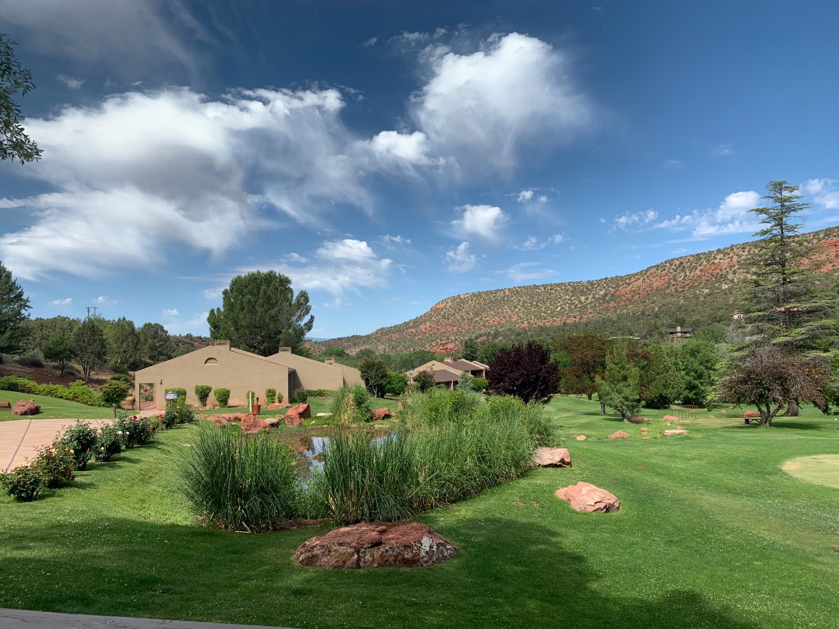
31 minutes ago, Jginmartini said:
Ghost showers here in Sedona. Sadly no exciting weather here

62*

Ghost showers in the sky?Riders In The Sky (Unedited Version)- Spike Jones And His City Slickers-1949 - YouTube
-
1
-
-
42 minutes ago, FroYoBro said:
Warm morning. Surprise 90 in spots in western Oregon today?
How can it be a surprise when it was literally forecasted since middle of last week it was going to be hot this weekend?

-
 2
2
-
What happened to upvotes?
in West of the Rockies
Posted
Jesus dude. I'm serious the forum has changed. Do I need to screenshot it to you? Edit: I don't know how to do screenshots on Win 10.