
SilverFallsAndrew
-
Posts
56640 -
Joined
-
Last visited
-
Days Won
403
Everything posted by SilverFallsAndrew
-

February 2019 Weather in the Pacific Northwest - Part 1
SilverFallsAndrew replied to a topic in West of the Rockies
Minor, but positive differences for the 18z GFS so far to hour 78. LOOKS GOOD FOR PUGET SOUND REGION. -
February 2019 Weather in the Pacific Northwest - Part 1
SilverFallsAndrew replied to a topic in West of the Rockies
What the NAM shows is more in like with the GEM/EURO solutions. -
February 2019 Weather in the Pacific Northwest - Part 1
SilverFallsAndrew replied to a topic in West of the Rockies
Holy Crap look at the NAM! Perfect path. -
February 2019 Weather in the Pacific Northwest - Part 1
SilverFallsAndrew replied to a topic in West of the Rockies
God, so many people on this group jinxing this thing on Facebook. DONT TELL A D**n SOUL! Got it?! -
February 2019 Weather in the Pacific Northwest - Part 1
SilverFallsAndrew replied to a topic in West of the Rockies
The pattern isn't bad. -
February 2019 Weather in the Pacific Northwest - Part 1
SilverFallsAndrew replied to a topic in West of the Rockies
38 of 51 EPS members had 6"+ snow at PDX. -
February 2019 Weather in the Pacific Northwest - Part 1
SilverFallsAndrew replied to a topic in West of the Rockies
I hope Tim saw this map. -
February 2019 Weather in the Pacific Northwest - Part 1
SilverFallsAndrew replied to a topic in West of the Rockies
Thank you. She is doing well. -
February 2019 Weather in the Pacific Northwest - Part 1
SilverFallsAndrew replied to a topic in West of the Rockies
ICON only out to hour 90, but looks good. Low Saturday is further south and closer to the coast. About 50 miles due west of the Columbia. Looks like Seattle is getting shadowed by the Olympics at that time. -
February 2019 Weather in the Pacific Northwest - Part 1
SilverFallsAndrew replied to a topic in West of the Rockies
Surprised to see it still hanging at 34 at SLE as of 1pm. Far less melting of the snow then I expected. Looks like HIO just switched from south to east wind and the NE wind is back at Pendleton/Hermiston. -
February 2019 Weather in the Pacific Northwest - Part 1
SilverFallsAndrew replied to a topic in West of the Rockies
Currently 32 at PDX, 33 at SLE. Not going to be real warm today... -
February 2019 Weather in the Pacific Northwest - Part 1
SilverFallsAndrew replied to a topic in West of the Rockies
Lows next week are similar or even warmer than this week. Because its cloudy and snowing the whole time... -
February 2019 Weather in the Pacific Northwest - Part 1
SilverFallsAndrew replied to a topic in West of the Rockies
SOOOOOO While we are oogling next week the EURO spit out lows of 22 and 21 the next two nights for SLE, similar in EUG and PDX. Lots of teens in the Puget Sound... -
February 2019 Weather in the Pacific Northwest - Part 1
SilverFallsAndrew replied to a topic in West of the Rockies
Highs Sunday through Thursday PDX 27 30 25 35 29 SLE 30 38 33 37 33 -
February 2019 Weather in the Pacific Northwest - Part 1
SilverFallsAndrew replied to a topic in West of the Rockies
Don't hate, me but I'm not sure I even want this run to verify... -
February 2019 Weather in the Pacific Northwest - Part 1
SilverFallsAndrew replied to a topic in West of the Rockies
This won't verify. But I am going to savor this moment. -
February 2019 Weather in the Pacific Northwest - Part 1
SilverFallsAndrew replied to a topic in West of the Rockies
I really hope my roof doesn't collapse. -
February 2019 Weather in the Pacific Northwest - Part 1
SilverFallsAndrew replied to a topic in West of the Rockies
EURO warm noses me at hour 174. Snow at PDX and SLE still. Rain on top of my 28" of snow that falls before that...I'll be up on the roof shoveling. -
February 2019 Weather in the Pacific Northwest - Part 1
SilverFallsAndrew replied to a topic in West of the Rockies
Looks like the Fraser outflow will be ripping again. -
February 2019 Weather in the Pacific Northwest - Part 1
SilverFallsAndrew replied to a topic in West of the Rockies
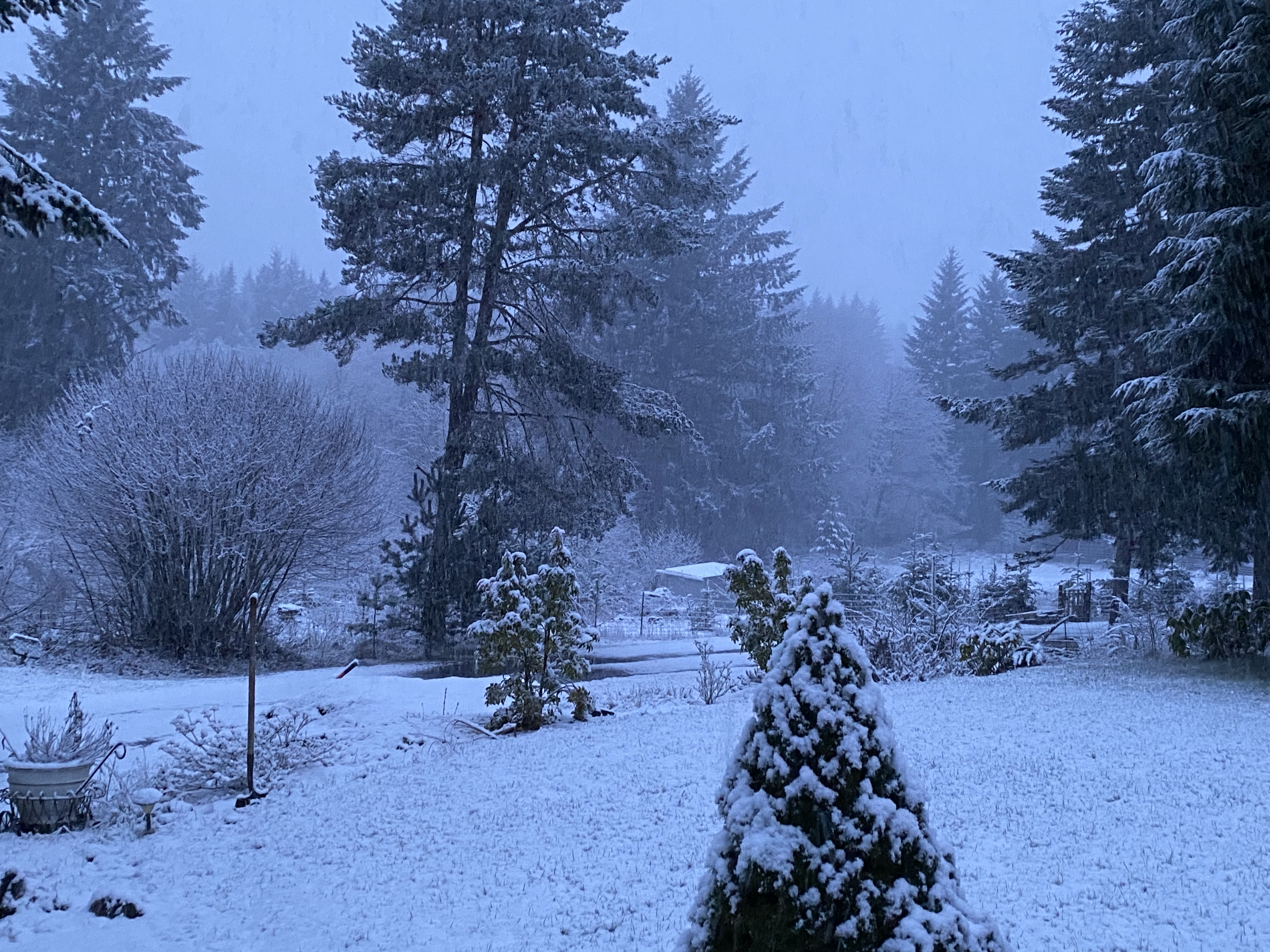
EVERYONE -
February 2019 Weather in the Pacific Northwest - Part 1
SilverFallsAndrew replied to a topic in West of the Rockies
-
February 2019 Weather in the Pacific Northwest - Part 1
SilverFallsAndrew replied to a topic in West of the Rockies
OMG EPIC RUN. -
February 2019 Weather in the Pacific Northwest - Part 1
SilverFallsAndrew replied to a topic in West of the Rockies
It's looking much better than the GFS. Maybe not great for TWL yet, but its good. I may need to buy a snow blower and a rescue beacon. -
February 2019 Weather in the Pacific Northwest - Part 1
SilverFallsAndrew replied to a topic in West of the Rockies
I'll post what maps I can. I have a work thing too. -
February 2019 Weather in the Pacific Northwest - Part 1
SilverFallsAndrew replied to a topic in West of the Rockies
Through hour 96 the EURO is identical to yesterday's 12z.

