
SilverFallsAndrew
-
Posts
56616 -
Joined
-
Last visited
-
Days Won
403
Posts posted by SilverFallsAndrew
-
-
Karl has posted on Mark's blog for awhile now and I talk to him on fb quite a bit about weather and other topics such as politics and economics...Anyways, he's a great guy and I'm happy to see him posting on here!
-
 1
1
-
-
Mark Nelsen has raised his forecast from 1-3 inches to 2-4 inches for PDX tomorrow.
Whats he saying for SLE?
-
Heavy snow band moving through Salem right now.
-
If skies clear late tonight it is going to get COLD.
-
EUG reporting freezing rain and 23.
SLE down to 21 with Lgt Snow.
-
How much you have?
Only 2.5" today. I was between the heavy southern and northern bands. 5" total on the ground though because I got some on Tuesday heading into this cold air.
-
Some brief clearing here. Temp has dipped to 16.
-
The NAM bullseye's my location. 850mb temps stay below freezing and that low just stays to the SW throwing up moisture!
-
Highs so far today
SLE 27
EUG 24
PDX 23
HIO 22
-
I would just like to mention that the current temp at PDX is 2 degrees colder than tomorrow's record low. Additionally today's high at PDX was 2 degrees colder than Saturday's record low.
-
1
-
-
Mark Nelsen doesn't seem too optimistic about snow for PDX tomorrow or the weekend. Zaffino on KGW said 4-8" more for Portland tomorrow and 2-6" more on Saturday before the transition. Hmmm...
Take Nelsen
-
For my location this storm has been pretty underwhelming so far.
-
Tomorrow evening and overnight look to be a huge storm in the Willamette Valley. The 18z parks that low offshore and just throws moisture over the cold air.
-
Holy cow. Hillsboro is at 19!
-
This was shown on the models happening between 1-7pm today.
-
Yeah I wouldn't worry. The low is progged to move inland. Once it does the heavier moisture will pivot.
-
There are two bands. The southern band has been dumping moderate to heavy snow over Philomath-Corvallis-Albany-Detroit since 7 am, around 7" now in Corvallis. Looks like the end of that band will be reaching Corvallis momentarily.
The northern band started out as a narrow E-W strip through Clark County and has now expanded to cover Tillamook and PDX. That one looks to be going strong for the foreseeable future.
7-8" is enough for me - time for the northerners to get a turn...
You may have another round of snow this afternoon as the low moves inland and that northern band pivots.
-
-
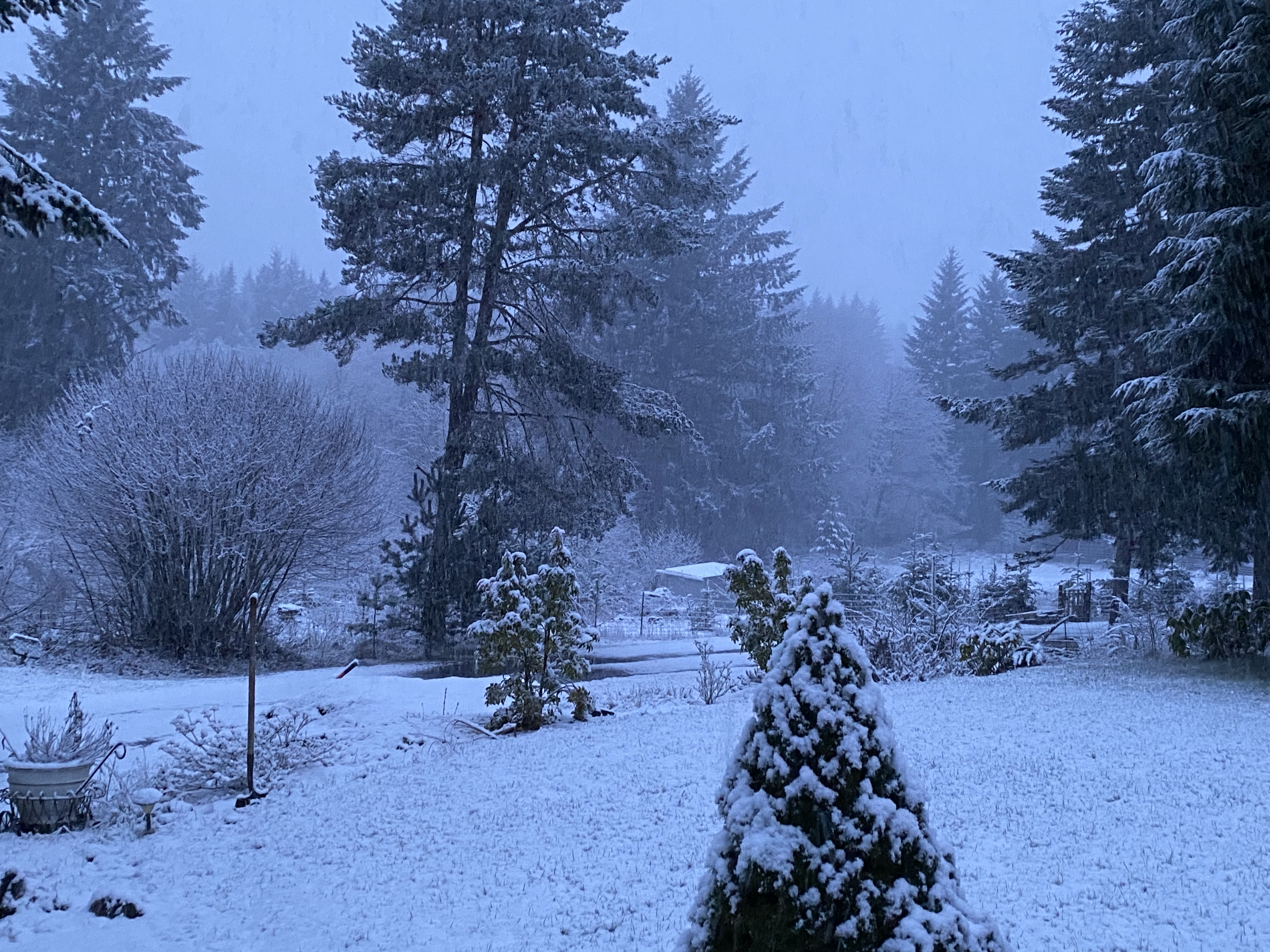
Headed home from work early today. I have picked up 2" of snow here at home this morning. About 1/2" in Silverton. I have called my employees in S. Salem and Albany for reports. At 11am I got a picture from one of my staff in Albany of a ruler measuring 6.5" of snow. 1.5" in S. Salem. My Dad reported 1" in Stayton at 830am so they probably have at least 2-3" now.
-
Corvallis is just getting hammered right now.
-
I have a feeling once the airmass starts to saturate we will also see the echoes start to explode inland.
-
Albany/Corvallis is going to pick up a couple inches with this initial surge. But the models really dont give us the main precip for at least several hours.
-
Oh my goodness. Newport has dropped to 23 degrees with moderate snow!
Corvallis down to 19 with evaporative cooling!
-
1
-
-
Snowing here and in Salem right now, but most of the snow will be south of Salem the next couple of hours.

February 2014 in the PNW
in West of the Rockies
Posted
Wonder if this will fall as snow or ZR down there? This band has surged north and I'm getting some heavy snow at the moment.