
SilverFallsAndrew
-
Posts
56384 -
Joined
-
Last visited
-
Days Won
402
Posts posted by SilverFallsAndrew
-
-
To bad we can't get a period of cold onshore flow ahead of the arctic front like we did in February 2011.
-
That blast is sure looking dry right now, but a lot of time for that to change. The operational and ensembles are looking pretty good. 06z probably had the coldest mean yet.
-
It does kind of go to hell after that...But...
-
-12 850's at PDX and a snowstorm for Eugene at hour 228.
Well then...lol
-
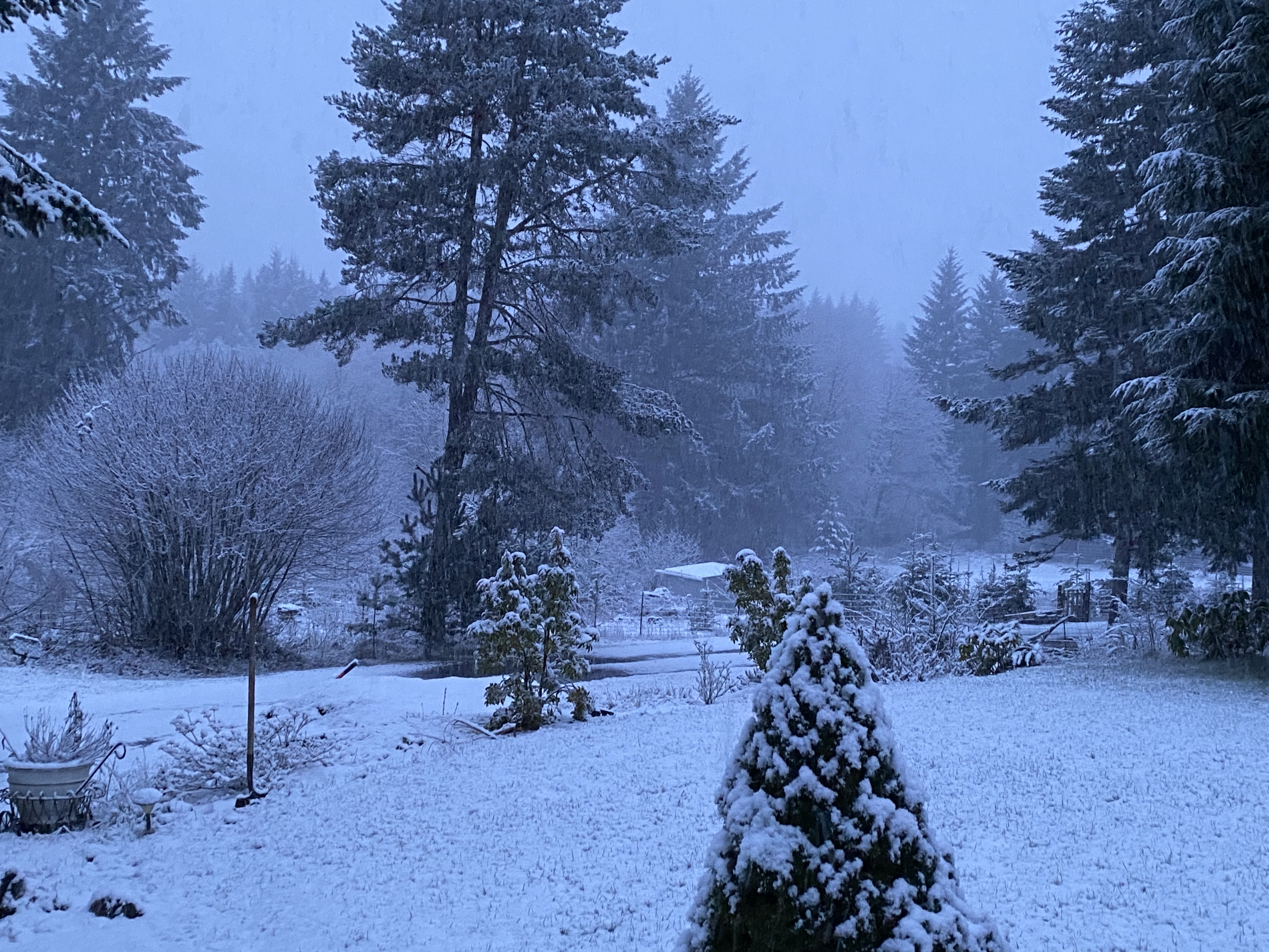
I had over 12" of Snow in March over a decade ago. It was in 2002 or 2003. It CAN happen folks.
2002
-
You guys probably don't want to look at the 00z GFS. That model has been flip flopping like a fish out of water.
Looking at hour 192 it doesn't look like its going anywhere good...
-
Zonal flow!
http://models.weatherbell.com/eps/2014012700/noram/eps_m_z500a_c_noram_38.png
Don't worry it doesn't last!
http://models.weatherbell.com/eps/2014012700/noram/eps_m_z500a_c_noram_49.png
And when February ends...
http://models.weatherbell.com/eps/2014012700/noram/eps_m_z500a_c_noram_65.png
-
Holy hell...
http://models.weatherbell.com/eps/2014012700/noram/eps_m_z500a_c_noram_32.png
-
Time for the 00z to rock!
-
Ummm guys, its raining here right now, no Joke!! This is news. LOL
Yeah here too!
-
Many of you may be interested in knowing that Richard is back. He has posted on the "weather observations... world" thread.
I noticed!
We traded Flatiron for Richard...A pretty even trade I suppose! lol
-
I wish Flatiron still posted in here. Now would be the time he talked about how 2-19-93 was largely a non-event.
-
February 19, 1993 was a great February event. February 12-14, 1995 was pretty decent too, especially considering outside of those 3 days the month absolutely torched.
-
Was there a low that bought all the snow?? Or was it an arctic front?
I know most of the Willamette Valley had 6-10" of snow with isolated 12" amounts. I think Silverton had 11" with the arctic front.
-
Mr. Nelsen says:
Watch out in the Gorge Tonight!
I expect 1-3" snow east of Bonneville Dam (C. Locks, Hood River, The Dalles) beginning sometime after midnight, then it'll turn to freezing rain. It may be a mix of freezing rain and snow instead. Tough call. It's cold enough that it should freeze some on I-84 too. Freezing rain is possible as close to the metro area as Corbett once the moisture arrives around midnight or later. The strong east wind will finally end Tuesday afternoon too. It should stay just above freezing at Troutdale, Camas, and Gresham, although it'll be a 34-35 degree rain by sunrise. Brrr! -
Mark Nelsen says Jesse gets some snow tonight...
I want some snow for once...
-
I don't think it will be like 2006 anyway. The upper level support was VERY short lived with that event. This will be a lot longer. Some typical downplaying going on.
Great point. That was a very short lived event. The upper level dynamics were gone as soon quickly as they came.
As for this event, it may be longer, it may not be, it may not happen. To soon to say.
-
I believe Salem set 2 record lows with back to back lows of 18 with the 2006 event. I'd like to see them set a record low in January at least once in my lifetime.
-
The February 2006 event was pretty quick hitting...
-
Coldest ensemble mean yet. The operational is kind of a cold outlier, but there are actually several members that get as cold or colder a couple days earlier!
-
We had an overrunning event last time... and it was pouring rain by 10 a.m.

Not too excited about that... at least its over quickly.
The overrunning event was like a week and a half after the arctic blast...
-
Hopefully you get something decent before you move. It would seem as though you picked a poor 2 years to live out there.
I am moving to a snowier location on Thursday, hoping February dumps on us.
I bet the gorge gets nailed next winter lol
-
I have a feeling this might end up dry in WA if the 500mb pattern plays out like the 12Z GFS.
Its a slow seepage like we had in December. That was pathetic for precip.
Somewhere in Oregon gets nailed again...But at least maybe there will be overrunning this time at the end.
-
I'm moving back to the I-5 corridor this summer. The next month or two are basically my last shot at scoring in a colder climate. That is, until I move to Montana in a few years.

Oregon or Washington?
January 2014 in the PNW
in West of the Rockies
Posted