jcmcgaffey
-
Posts
1726 -
Joined
-
Last visited
-
Days Won
1
Everything posted by jcmcgaffey
-
SEA was only 30% of rainfall for the year before yesterday. After today we will be well over 100% with almost 3" of rain already since yesterday morning.
-
Here is an excerpt from Scott Sistek at Komo: "It has been quite remarkable for the Seattle area to have had so many days primed for snow -- usually we can get snow with the pattern shift to the cold, if a storm comes in the right spot when we're cold, and when the warm storm comes to wash out the cold -- and end up with so little as a whole. Sure, there have been pockets of snow in each one, but Seattle's weather history is littered with moderate to heavy widespread snows in these types of patterns and aside from the little bit on Dec. 8 that would weakly qualify as a widespread snow, it's been more hit-and-miss, with some areas seemingly always in the "miss"."
-
Good to know. Thanks
-
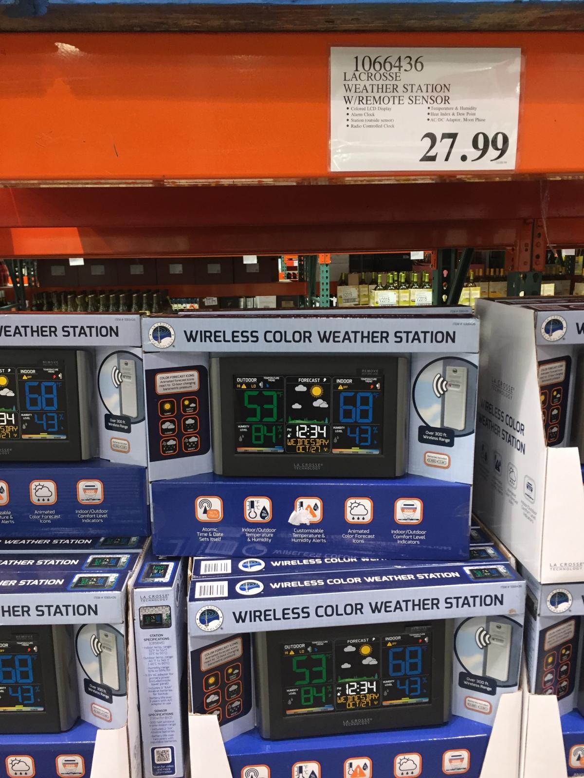
Went to Costco yesterday and saw they sell weather stations and one of them is on sale. Edit, sorry I had to crop the photos to get them to fit and didn't have time to figure out a better way to shrink them and keep them images with decent pixel quality.


-
Komo 4 reported half a foot of snow in south seattle. Just a dusting here north of seattle.
-
SEA better starting warming up soon. This shows SEA at 42 at midnight and it's already down to 36 and skies are clear. I'm already down to 31 and the low for tonight was only supposed to be 33.
-
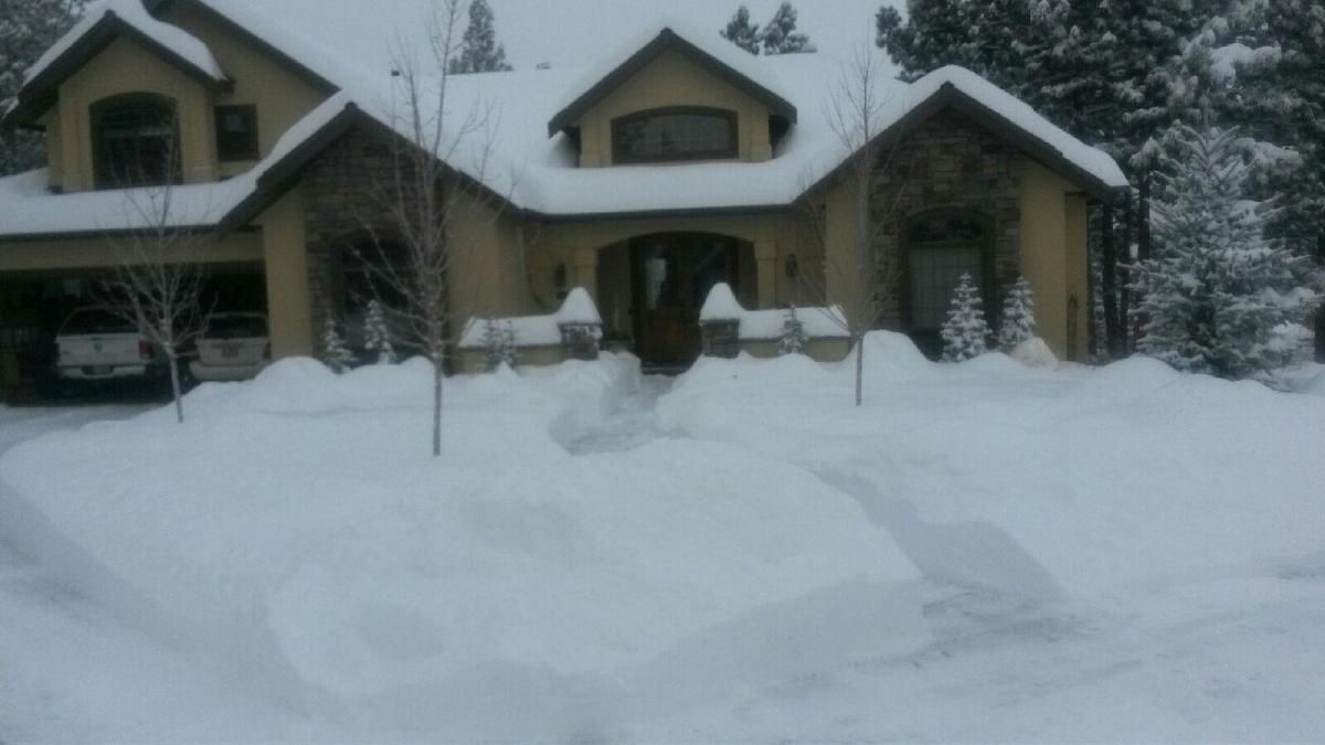
Another pic from the in laws in Bend OR
-
ya big flakes coming down here in Ballard.
-
I think I saw a snowflake here in northwest seattle....it also could have just been drandruff from my head from the cold/dry weather.
-
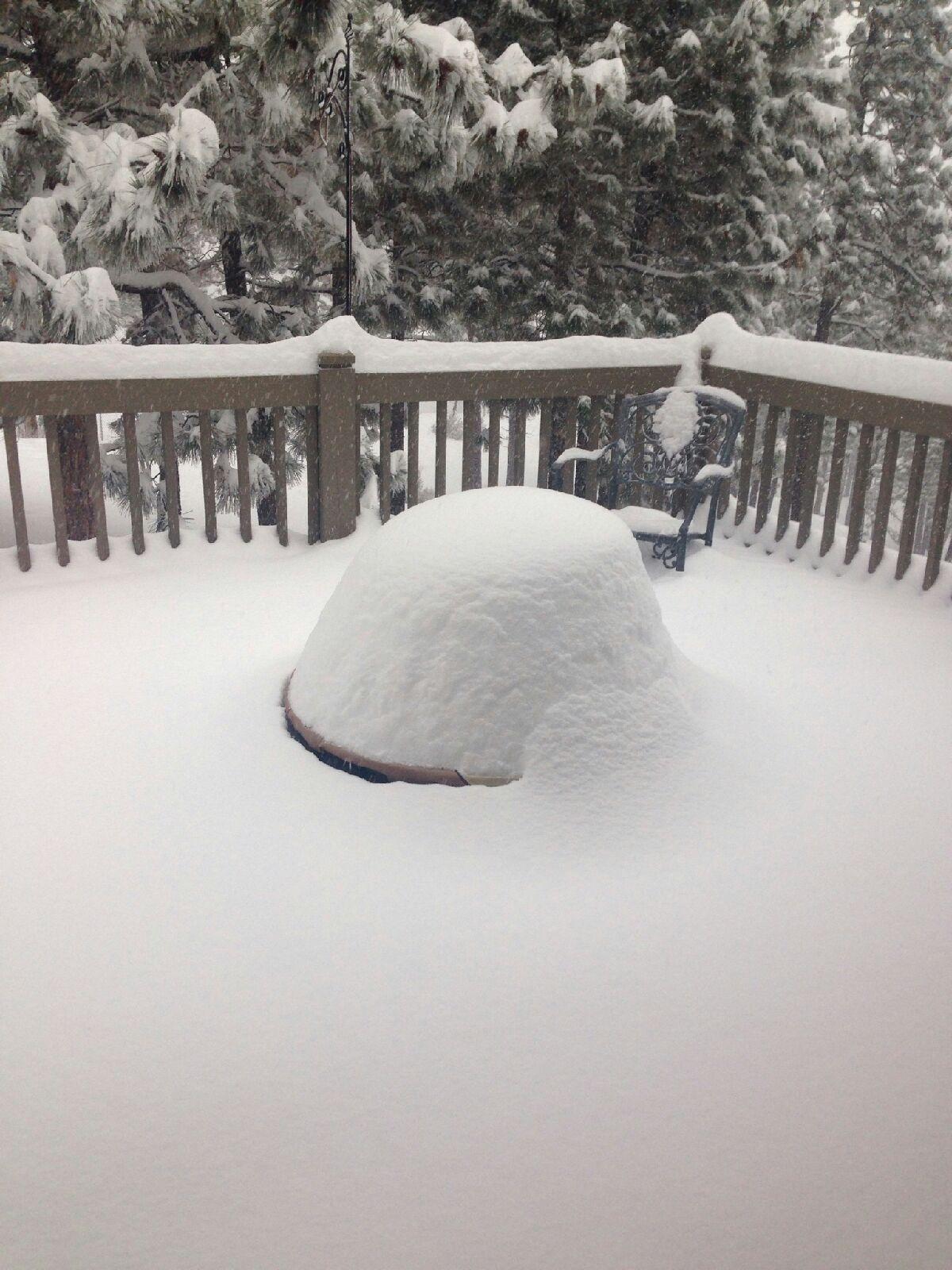
Here's a picture from in laws in Bend.
-
Thanks. I'll check it out. How about Seattle area Facebook groups anyone?
-
What facebook group do others on here post to? I think I might join up there too.
-
Everyone could use a remider like that every day.
-
Speaking of weather apps. Mine is still showing snow on Monday, Thursday, and Friday next week with 1-3" on each day. https://www.wunderground.com/cgi-bin/findweather/getForecast?query=47.68789291,-122.37007141&sp=KWASEATT403
-
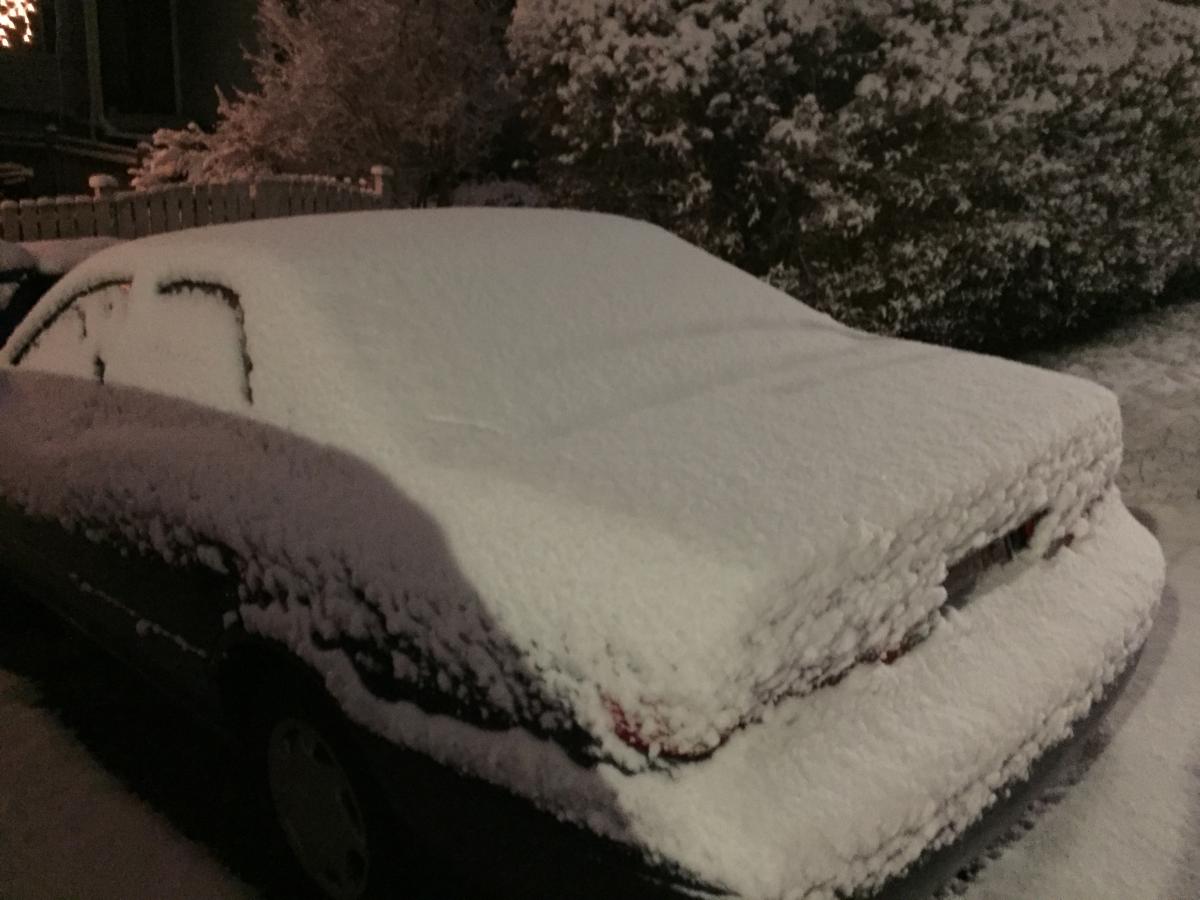
I will have to say I was satisfied with the 3-4" here in north Seattle. More than I expected. I just went in to work and the roads were still covered and buses stuck and cars sliding around. The kids got to play and sled and throw snowballs this morning. It should stick around for most of the day before its gone. Usually Seattle (city itself) gets shafted more than most anyone else especially compared to east lowlands so it was nice to have it different for once:)
-
I actually use the Wundermap app all the time and it is pretty accurate with everyone's weather stations shown on a map. If some one has there's in a bad spot you will be able to tell as there are others right near it to compare too. I think it is an awesome tool. I used it last night watching the storm come in.
-
Woke up to check things out and surprised to see 3-4" on the ground and still snowing. Streets are still covered as well. Temp is 31 but snow is starting to compact and melt a little.

-
NWS just issued a short term forecast warning for Seattle
-
Hopefully it's clear driving after my 6pm meeting at work on Capitol Hill... Of all days to have a late pm meeting.
-
Here are some good historic snow photos of Seattle from Komo 4. Pretty crazy photos in there. http://komonews.com/news/local/photos-show-northwest-snowfalls-from-winters-past
-
One item that I was thinking about was the timing of clouds and precip is not ideal in regards to time of day for the Seattle area. The sun has been warming everything up here today and then the clouds are coming in just in time to cap in the warmth and not allow radiational cooling at all after dark. I think every little bit helps in these scenarios and best timing would have been morning after things cooled down and cloud cover could trap the cold better. Hopefully the north and east winds will help eliminate any trapped warmth. I am probably just overthinking this and its a non-issue.
-
NWS update this morning has increased the snow totals for Seattle from last nights forecast. Showed 2-5" last night and now shows 4-8" for north Seattle. From the looks of everyone's comments today it sounds like they might bring those amounts back down later today. I haven't had time to look at any of the models to verify everyone's comments.
-
Too bad it wasn't a couple degrees cooler here. It's been raining pretty hard here north of seattle for the last 3-4 hours but no snow. Isn't that the epitome of a seattle winter 33 degrees and rain? In this case it has fluctuated between 34 and 37. I think it's a form of Chinese torchure...
-
I think in regards to the immediate Seattle area we will need the arctic air (if you can call it that) push through first in order to get any sticking snow from a convergence zone. Early this morning before sunrise it rained and I can't see the temps dropping too much more than last nights without some sort of arctic front pushing through. Just too warm with onshore flow.
-
Just a mix snow/rain now in Seattle. Raining fairly hard. Still too warm. Was thinking the convergence would bring down temps and colder air but so far has not.