

GHweatherChris
-
Posts
14176 -
Joined
-
Last visited
-
Days Won
20
Posts posted by GHweatherChris
-
-
I watched some of that yesterday at one point and it looked like it hit a wall and just disappeared.
It didn't make nearly this much progress towards our coast yesterday.
-
Clouding up here.
IR satellite is definitely show a northerly trend.
-
It's not further north than progged. The models you looked at are just behind where 0z is 21z in reality etc ... It looks on track to the HRRR. The way the SFC low is moving SW WA has a block that will prevent this from moving more north than progged.
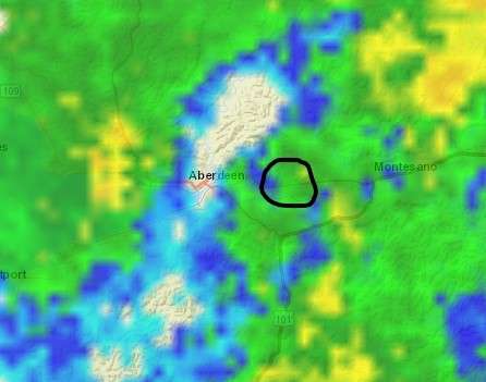
Coastal radar disagrees.
The moisture is streaming NE towards the central coast of Washington, which was not progged.
We shall see in the next few hours what the outcome will be.
I say it snows here.
-
Radar moving north at a rapid pace.
Already further north than progged.
-
 1
1
-
-
The trajectory of the moisture today/tonight does not favor Olympia to Tacoma as it did last night.
It appears it may favor me.
I don't care if I see alot, just some.
-
You are not getting work done because we might have another skiff of snow tonight??? Wow. You got it bad.
Some of us are desperate Tim.
Just let us have our fun and quit mocking us.
-
1
-
-
Yes, it is pushed a bit further north and it is possible to get a similar result as last night. Gonna be fun to track today. Sadly I am not getting my work done!! UHG!!!

Well I did not see one flake last night, so this is looking immensely better.
-
Coastal radar trend is showing that moisture will be further north, its looking better for here later this afternoon.
-
Is it annoying because you aren't getting anything good? My viewers don't have a problem with it

I agree with Alpine, its kinda like looking at a 8 bit video game.
-
Coastal radar looking better.
-
That feature appears to be much more robust than modeled. I'm liking our chances tonight/tomorrow.
Agreed.
-
12Z ECMWF definitely shifted everything south... still brings it up to our doorstep though. And then shunts it all east early tomorrow morning leaving most of the day dry.
There is still a chance. The system is close enough for surprises.
-
Actually the mm5 shows this feature we see on sat loop of the Columbia. The biggest difference I see in real time is it looks to be closer to the coast than the models show. The mm5 shows it curving back out to sea to the nw. But with it closer it looks like it is going to push some moisture our way.
I don't see it pinwheeling back out. Its been moving ENE fairly steady, just get it close and then it can sit and spin.
-
That feature is what caused the snow tonight and tomorrow on the 00Z ECMWF.
GFS and WRF don't show it moving north much at all. We will find out soon what the 12Z ECMWF says.
Yep, I went back and looked again.
I don't think we need it to move north much, just a bit closer and then it can rotate some moisture up hopefully.
-
I can smell snow coming this evening.
I think so too. May not be much, but I have a good feeling.
Just need some movement north and some lift.
That feature west of the Columbia I think is the key.
-
I swear the morning shift at the Seattle NWS decided not to look at anything before they wrote the 930 discussion. Boring as hell. If I were them I would at least talk about the feature spinning just offshore.
-
I agree that you have a better shot today. As long as the low itself stays south of Salem I am fine with the precip shield speeding as far north as it wants.
Sounds good to me. I am only looking for a little bit to appease my thirst for some snow with arctic air.
-
Was that small rotation off the Columbia in the models? Sat pic all of a sudden looks very interesting.
I didn't see it.
It doesn't even show up in the cloud model from the WRF.
-
Yikes, hope that doesn't end up coming further north than anyone anticipated. I am fine with it moving down through Eugene.
Its definitely an interesting feature to keep and eye on. With lightning strikes and the location, I think I may have a shot at snow later today. At least a better shot than yesterday.
-
The satellite looks alot more promising offshore with the surface low west of the Columbia, there is definite NE movement with the clouds.
Also there has been some lightning strikes out there too.
-
1/10,000,000th of snow this morning. If you look really closely you might see the flakes.


Lucky!!
-
Both MM5 models... and the HRRR show nothing today except that little convergence near V.I.
And just yesterday you said the EURO was the one to follow.
I will wait for that.
-
Wow... the 12Z WRF completely screws us up here.
It shows sunshine today and through all of tomorrow as well for most of Western WA. Its definitely shifted south again.
I have a better feeling about the situation today up here.
Looking at the Satellite it looks more promising overall.
-
I have noticed that when there is a snow or cold event in the area weather Phil vanishes for the most part.
I have noticed that too. Along with Westcoastexpat for the most part, or whatever.
Weird.
February 2014 in the PNW
in West of the Rockies
Posted
Thats all I want.
I am not asking for alot.