

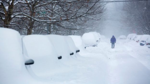
Heavy Snow
-
Posts
1147 -
Joined
-
Last visited
Everything posted by Heavy Snow
-
 12z EURO ensemble mean for PDX shows 27 to 30 degree highs Jan 2 to 7. It shows 32 to 33 degree highs Jan 8 to 13. It's decent.
 -
Yeah the system coming down at the end of next week will give everybody widespread snow.
-
This map makes me so happy because everybody can get some snow.
-
I do. If it tracks south of Eugene, the possibility for a reload increases and everybody keeps their snow longer. The further north it tracks the less chance for any reload. It's a tough situation. I wouldn't be mad at you if you wanted it to track just south of Shawnigan Lake either.
-
Yeah, it's going to be boom or bust but I wouldn't like it any other way. I'll take this chance, it might never happen again for a very long time.
-
If there's a deep low that's going to track that way towards the end of next weekend, I'll be rooting for it to track just south of Eugene so it can please as many posters on here as possible.
-
Same day as the 1880 Storm King!
-
http://maps1.pivotalweather.com/maps/models/ecmwf/2016123012/240/sfcmslp.conus.png
-
Day 9 oh my goodness! Where will it go!? I think it heads straight for Eugene! http://maps1.pivotalweather.com/maps/models/ecmwf/2016123012/216/sfcmslp.na.png
-
Widespread snow for everybody and a monster forming off the California coastline.
-
Thats a good question. I dont know. All I know its in beta mode for this month. It has done better than the regular GFS. While the regular GFS kept shoving this initial Arctic Blast more east the Para has held steady like the EURO. I dont know why I put to much weight on the 00z GFS last night.
-
Last runs 00z EURO and 00z/06z GFS-Para both show more of a "Storm King" setup. It will be interesting to see what the 12z GFS-Para and EURO show. If they end up verifying than the upgrade to the GFS will be a huge success.
-
SCORE! Monster 3 day snowstorm next Friday to Sunday! Reminds me of December 2008!
-
I just took a look at the 00z and 06z GFS-Para runs and they look good. They both show a 1880 "Storm King" type setup for sometime the end of next weekend. The Storm King hit on January 9 1880 and this storm hits close to same day next year. So we have an excellent analog to work with. http://www.tropicaltidbits.com/analysis/models/gfsp/2016123000/gfsp_mslp_pcpn_frzn_us_39.pnghttp://www.tropicaltidbits.com/analysis/models/gfsp/2016123000/gfsp_mslp_pcpn_frzn_us_40.pnghttp://www.tropicaltidbits.com/analysis/models/gfsp/2016123006/gfsp_mslp_pcpn_frzn_us_38.pnghttp://www.tropicaltidbits.com/analysis/models/gfsp/2016123006/gfsp_mslp_pcpn_frzn_us_39.pnghttp://www.tropicaltidbits.com/analysis/models/gfsp/2016123006/gfsp_mslp_pcpn_frzn_us_40.png
-
http://www.totalprosports.com/wp-content/uploads/2012/09/b5CMYo.gif
-
Yeah looks awesome but I'm concerned it's too dry.
-
Awesome!
-
Yeah but D**n it heads into Medford.
-
Trended a little snowier for PDX. I don't see why those east of the Willamette River couldn't get 1"-2".
-
I just saw the 18z GFS control run. It goes down to -15C for PDX next weekend.
-
Yeah, just seeing all that cold air at the start go to waste with just sunshine is a tough pill to swallow.
-
I'm hoping we can all go into this Arctic Blast with some snowcover. I also believe that once the Arctic air arrives into our region, then models will have a better grasp of how much moderation happens before moisture arrives. We're already starting to see it a little bit but over the next few days it wouldn't shock me at all to see models trend colder again before a system approaches.
