

snowstorm83
-
Posts
1817 -
Joined
-
Last visited
-
Days Won
1
Everything posted by snowstorm83
-
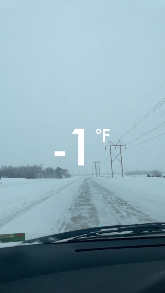
Yeah this snow isn't going anywhere anytime soon. No above freezing temps in sight, record cold possible first week of March. This seems like the Feb version of Dec 2009.
-

2/23 - 2/24 Central Plains/Midwest Blizzard
snowstorm83 replied to Tom's topic in East of the Rockies
After 8" from this in Lincoln: its the 5th snowiest season on record and 2nd snowiest February on record (back to 1900). -
2/23 - 2/24 Central Plains/Midwest Blizzard
snowstorm83 replied to Tom's topic in East of the Rockies
I'm glad we were also able to share the wealth with Norfolk. I see a 0.2" report up there! -
2/23 - 2/24 Central Plains/Midwest Blizzard
snowstorm83 replied to Tom's topic in East of the Rockies
Not getting the crazy yellow returns unfortunately, but still a solid blizzard. Wonder how much longer it’ll hang around. -
2/23 - 2/24 Central Plains/Midwest Blizzard
snowstorm83 replied to Tom's topic in East of the Rockies
Latest reports are 3.5-4.5" in Lincoln -
2/23 - 2/24 Central Plains/Midwest Blizzard
snowstorm83 replied to Tom's topic in East of the Rockies
UNL basketball game is letting out right now and visibility is like a block. Not the best time for heavy traffic. -
2/23 - 2/24 Central Plains/Midwest Blizzard
snowstorm83 replied to Tom's topic in East of the Rockies
3pm visibility at KLNK is 0.15 mi. I think I'm actually witnessing a blizzard. -
2/23 - 2/24 Central Plains/Midwest Blizzard
snowstorm83 replied to Tom's topic in East of the Rockies
Visibility dropped to 0.25 mi at LNK at 2:07, lets see how long it stays. -
2/23 - 2/24 Central Plains/Midwest Blizzard
snowstorm83 replied to Tom's topic in East of the Rockies
This is having no problem accumulating at all, huge flakes -
2/23 - 2/24 Central Plains/Midwest Blizzard
snowstorm83 replied to Tom's topic in East of the Rockies
Just turned to all snow downtown and ripping. Was surprised to see southeast Lincoln change over slightly earlier. -
2/23 - 2/24 Central Plains/Midwest Blizzard
snowstorm83 replied to Tom's topic in East of the Rockies
Judging by webcams it's all snow at the I-80 Pleasant Dale exit just west of Lincoln Edit: and Milford exit looks like a complete whiteout -
2/23 - 2/24 Central Plains/Midwest Blizzard
snowstorm83 replied to Tom's topic in East of the Rockies
I’m driving back home northwest through the city and sleet/snow started mixing in around 40th and O -
2/23 - 2/24 Central Plains/Midwest Blizzard
snowstorm83 replied to Tom's topic in East of the Rockies
Wind starting to pick up for sure -
2/23 - 2/24 Central Plains/Midwest Blizzard
snowstorm83 replied to Tom's topic in East of the Rockies
Lol I don't live in Omaha I have no comment -
2/23 - 2/24 Central Plains/Midwest Blizzard
snowstorm83 replied to Tom's topic in East of the Rockies
I'll never forget when the Euro gave Lincoln 11" the night before the 1/22/18 blizzard. I'd rather be on the northern end than the southern end. -
2/23 - 2/24 Central Plains/Midwest Blizzard
snowstorm83 replied to Tom's topic in East of the Rockies
It's super hard not to get excited right now even though I shouldn't. -
2/23 - 2/24 Central Plains/Midwest Blizzard
snowstorm83 replied to Tom's topic in East of the Rockies
EPS has a 6-7" bullseye right through Omaha/Lincoln. Though there's still a fair amount of variance between the 51 members, especially for only 36-48 hours out. Models still don't know what's going on. -
2/23 - 2/24 Central Plains/Midwest Blizzard
snowstorm83 replied to Tom's topic in East of the Rockies
The final kiss of death will be when OAX issues a watch this afternoon -
2/23 - 2/24 Central Plains/Midwest Blizzard
snowstorm83 replied to Tom's topic in East of the Rockies
Come on, in Nebraska we party in any weather -
2/23 - 2/24 Central Plains/Midwest Blizzard
snowstorm83 replied to Tom's topic in East of the Rockies
For the EPS, looking at Lincoln specifically, there's no consensus whatsoever. Some big dogs, some duds, and some in betweens. I can already tell this is going to be a nowcast event where the weenie band sets up. -
2/23 - 2/24 Central Plains/Midwest Blizzard
snowstorm83 replied to Tom's topic in East of the Rockies
Saturday grid for Lincoln sounds messy: Sleet, possibly mixed with snow and freezing rain before 11am, then snow, possibly mixed with sleet between 11am and noon, then snow after noon. The snow could be heavy at times. Patchy blowing snow after 2pm. High near 33. Windy. Chance of precipitation is 90%. New precipitation amounts between a half and three quarters of an inch possible. -
2/23 - 2/24 Central Plains/Midwest Blizzard
snowstorm83 replied to Tom's topic in East of the Rockies
Does this work? -
2/23 - 2/24 Central Plains/Midwest Blizzard
snowstorm83 replied to Tom's topic in East of the Rockies
http://models.weatherbell.com/ecmwf/2019022012/mc/eps_snow_m_mc_18.png -
KLNK is at 41.2" for the season now, only 0.5" more to beat the amazing 09-10. Need 43.1" to get in the top 10 snowiest seasons on record, so also close to that. This has to be the snowiest season ever without an official 6"+ storm
-
This is nothing, I wouldn't even consider it a bust, just went under forecast. Winter Storm Jonas (1/22/16, gave NYC like 27") was a BUST. Where I was at, the NWS office was Memphis (MEG) and a CWA wide winter storm warning was issued for 4-8" and blizzard conditions at times. It crapped out right over the forecast region with most people receiving
