


Clinton
-
Posts
6520 -
Joined
-
Last visited
-
Days Won
28
Everything posted by Clinton
-
18z GEFS
-
The Euro weakens the storm as it moves south while the GFS intensifies it.
-
I wasn't either until this morning, I was very surprised. The Euro has a better track for you, I hope all of us get something out of this.
-
12z GFS is great for me, need it just a tad further west for my Kansas friends.
-
AFD from KC office: The best chance to see precipitation still resides this weekend. Models depict upper-level flow to take on a squished or pinched orientation, if you will, placing the steering mechanism for any disturbances in a north to south pattern directly over the CWA. This will guide a developing low pressure system ejecting out of Canada Friday morning to dive south through our region. While moisture remains lacking at this time, strong upper flow will provide a surge of moisture from the Pacific, and send it south with the incoming low pressure center. This is best seen on the 500-300MB moisture transport and magnitude vectors. As this system enters into the forecast area Friday evening, rain is likely to begin the event. As it leaves over the course of Saturday, dropping temps behind an associated cold front and a potential developing deformation zone, frozen precip may end the event in our forecast area. While we are not hanging our hat on any potential solution, this event does prove itself interesting as the GFS projects it to strengthen as it dives south and swings back north up the east coast as a strong winter cyclone.
-
Lol I'm waiting for things to shift back east we'll see how it goes, the models have bit us a few times this Winter.
-
6z EC even further west good grief. EPS mean
-
6z GEFS with another shift west this morning.
-
I wasn't expecting to wake up and see all of this, both the GFS and Euro in agreement on several inches of snow for mby. That 1040mb high just north of the lakes is perfect for KC.
-
Hope your feeling better, it's good to see ya back on. You can send your snow to Missouri we can't buy a flake.
-
Missed out on the ice here yesterday which was perfectly ok with me, we had drizzle and fog all day. Sunny with average temps today. I'm curious what shows up on the 12z models today, the 6z EC was much different from the 0z.
-
IMO after a possible storm late next week things look bleak until the 2nd week of Feb. Maybe if the pattern gets blocked up like the GFS shows we'll get a different result but lets see if that actually happens. I remember this part of the pattern for being the cold is always 10 days away. Maybe we'll get something different this time, the wet part of the pattern wasn't exactly wet here this time. Good luck!
-
I like this. The GFS says the pattern is about to get all sorts of blocked up.
-
Weak system tomorrow might be enough to get a WWA for frz drizzle and light snow for KC up to Chicago and Mich. I was suppose to have a high of 50 tomorrow that has changed.
-
 No I've tried to find it also with no luck. Is the lowest seasonal snowfall total 3.7 inches?
 -
You mentioned a storm in the 19th-21st timeframe, the 6z GEFS looks good for your area. Good ensemble agreement for a storm at this range.
-
To give you an idea of how frustrating close the snow was to my house, my kids go to school about 4 miles to my south and they are out of school today. 5 miles to my south 3 inches of snow has fallen.
-
Light snow falling this morning but only about a 1/2 inch on the ground. Heavier accumulations are about 20 miles to my south.
-
Light snow has started here. Hope we can get a few inches of white gold.
-
Radar looks good, it's nice to hear precip is making it to the ground already.
-
18z NAM gives ya a little more wiggle room.
-
Me too, with such a narrow band of snow we'll just have to watch the radar and see how it lines up.
-
18z HRRR puts down 4 in mby, I would love to be on the east side of Lake Michigan right now. The RAP is further south.
-
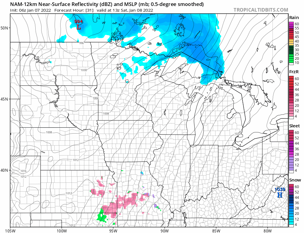
12z NAM
-
12z HRRR


