

jaster220
-
Posts
12213 -
Joined
-
Last visited
-
Days Won
59
Everything posted by jaster220
-
Got it's sights set on Duluth it would appear.
-
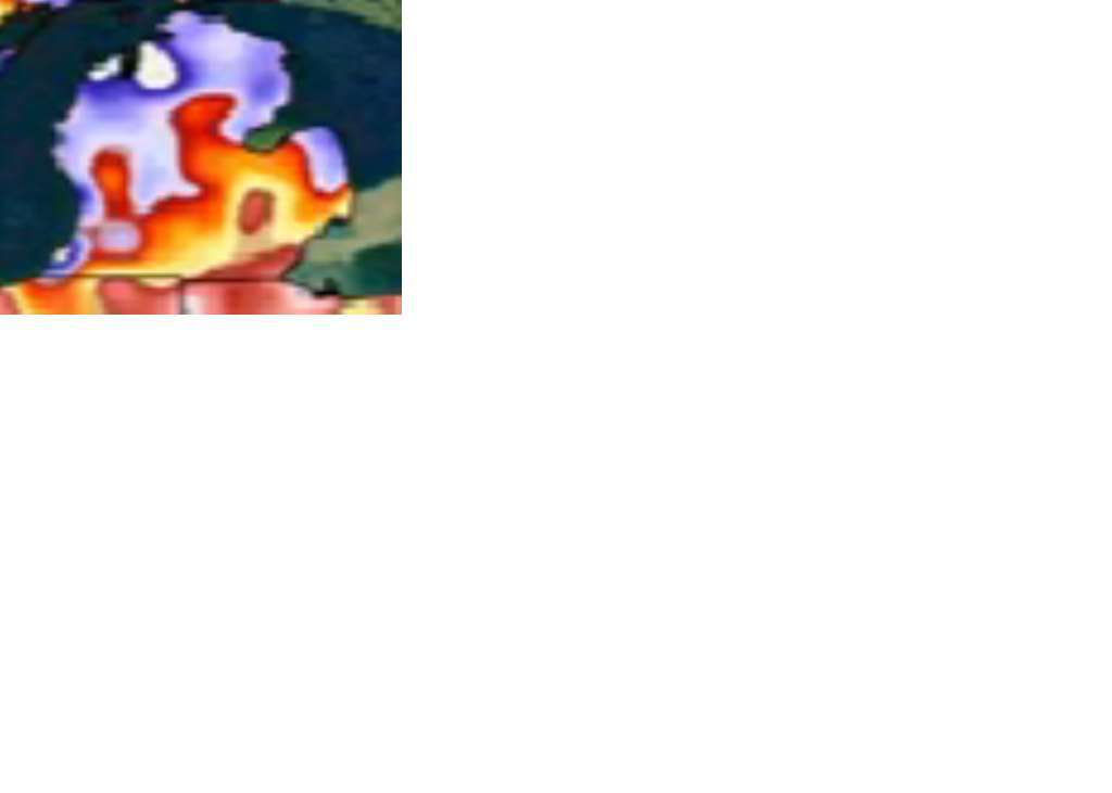
Looks like the western UP of Mich gonna get rocked either way. If not with defo band snows, then LES should kick butt. Prolly get both knowing how it goes up there. On a footnote. Love the colors on these newer maps but the graduations are almost too fine to read easily. Especially for the snowfall as it transitions from the purples to the pink/oranges (the range we often fall into). You literally have to zoom up somehow, then it's like counting tree rings LOL! They need more colors or fewer graduations per color imho. That's my 2 cents. Cheers to a rockin' 2nd half of December!
-
Hilarious Tom. Shows (if I'm seeing correctly) a -1 to -2 departure for mby. Granted, this leaves out our warmest month expected (Dec), but if cold does make a move late month, departures won't be too out of hand by Jan 1st. We'll see, my call for SWMI may not be as far out in left field as some would argue.
-
Post pls..
-
Well, the repeating theme of a strong trough in the central CONUS has not failed to deliver some winter fun to some area of the plains this autumn. It would be a weird departure from that pattern if somehow we get this in December and it doesn't. As Tom pointed out, the earlier system doled out some winter fun even with sky-high AO/NAO indices when it shouldn't have. If we can see those indices going into at least neutral territory, that could help things come together better for your region at least. Not sure when we will score again clear over here in SMI tbh?
-
Ah, k. I heard some of the GEFS members are off the charts with bombs but lacking a true cold connection fwiw. May just be the models are still fumbling the ball with all the parts in motion at that timeframe.
-
I would agree. I'm not sure it continues east every cycle, but initially he shows it where it's been, instead of where it will progress to. Most good S. Lakes winters of memory featured a pattern that delivered snow about 2/3rds of the time, with 1/3 focusing elsewhere. If we are to be included in this just like we have been so far (talking Chicago and SMI), then that primary track will be up through the eastern lakes, i.e. bringing the better systems west of the Appalachians. Sorry EC peeps. I'm fine with sharing late winter with though. If this really wants to go big like '77-78, then we could eventually see a couple storms hit NE as that Jan/Feb featured "share the wealth" historic blizzards galore!
-
What's more crazy about it exactly? Guess I missed your point.
-
And would surely be lighting up the lakes around MI with a push of cold on its heals. I don't think this is a pattern where the NW flow sets up for days on end, so more likely a fairly short (but perhaps intense) window of LES would be the case. We in SWMI make out best with a low baro. The added bouyancy of the air adds lift that regions further north get via topography. We also don't get that convergence factor like downwind of Lk. Erie so a departing strong Low is my fave option for a true LES "storm". The Dec '09 bliz that closed off early brought 9 inches all the way to mby 80 miles from Lk. Michigan.
-
My place was more or less on the western end of the WSWarning level snows. I wasn't measuring back then, but prolly got 6". I really tried to ignore it and couldn't wait til it stopped tbh. With all the flowering trees in bloom it's the best season of the year in Marshall and that storm ruined that in '05! North and east of me really got rocked. I think there was an 18" lolly somewhere in the Thumb region of MI, even though CIPS not reflecting that.
-
And by the 17th, there's some of that being advertised. Does not look like a boring 2nd half. Kinda like a Lion's game/season - all the action to finish.
-
@ Maxim 2012 March and April kinda swapped places. I loved being able to dine outside on St. Patty's Day, but man the fruit crops got hit hard over here in April (worst in 70 yrs iirc). So, I'll still keep 1st half of March for winter, 2nd half for spring, and April for flowers - LOL What I absolutely loathe, is heavy winter after Tax Day like that snowstorm on the 27th back in '05. Never want to see that again.
-
Thanks, but did you read my post? Read again more closely this time. It says SWMI, that's a very small portion of this Sub. But, if you want to expand my call, that's yours to own.
-
Some quotes from the November 11-13th storm thread..
-
Doesn't matter really. We're slowly "torching" our way into the history books, and all the entries are not about positive temp departures http://www.uswxforums.com/forum/public/style_emoticons/default/whistling.gif
-
@ Geos No kiddin, March is a very favorable Big Dog climo month no less. At least for our region (S. Lakes).
-
Is there any way to extend it through March? Thinking it would show the cold spread further west. That's what I'm going with (greater departures for SWMI) if you throw March into the mix.
-
True, and the last time it flashed a sub-980mb storm, we ended up getting something big just a few days later than what it showed (21st vs 18th for SMI)
-
Would be nice to bump a state or so east. SMI below normal during a "wet period"
-
Nice back end surprise. You deserved it!
-
OK bullseye!
-
Umm..not entirely true on the bolded. TC is only off 18%, and Petoskey 27%. The others may be well below. I take well below to be like less than 50% when you're talking one (early season) month.
-
@ Tom That 1st image (mean storm track) not showing. Would like to see pls. Thx!
-
Very nice archive diving there WMJ. My money's on the bolded. We'll see a roller-coaster but I'm still going overall below normal when including March, i.e. D,J,F,M Snowfall already got a jump-start for everyone but you LES regions. I think you'll catch-up eventually. As Tom said, Ma Nature balancing out last year's record Nov LES. Good Luck to you this winter!
-
I'm glad to report that I've enjoyed a string of over-performers, or at least systems that matched the best amounts any model was throwing around. Last week's system was the most recent. This will come to an end sooner or later, but its been nice to be on a hot streak!

