Meatyorologist
-
Posts
9067 -
Joined
-
Last visited
-
Days Won
13
Everything posted by Meatyorologist
-
 Post your divorce papers on this thread within 24 hours, or you will be banned for life.
 -
Reports of snow in Oak Harbor.
-
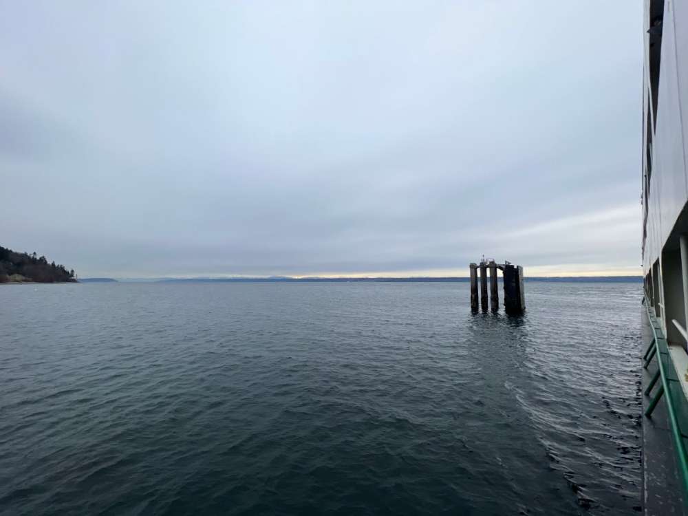
Here's something cool... On the Kingston ferry back to Seattle, and the gradual lowering of the cloud deck ahead of this cold front is very clearly illustrated. Left to right in this picture is NW->SE.
-
It's gonna snow tonight.
-
bump @PuyallupChris
-
Posted about this last night...
-
hmmmmmmm..
-
Can't really ask for anything more this time of year. Pretty much the perfect time to do this whole tango since Arctic air is rapidly becoming a taller and taller order, yet psun angles haven't quite reached their potential to torch us to high hell in the afternoon given a four minute sunbreak.
-
It's dry for sure... I don't normally use chapstick but today's foray on the whindy whashington koast (Arctic edition) left my lips feeling less like two plump earthworms and more like the rugged spine of the Chilean Andes. As for tomorrow night, the weaker pressure gradients should mean weaker easterlies and a better potential to saturate this residual airmass. Might take some sacrificial bands to moisten the lower levels up, but without a strong driver to reinforce more dry air through the Cascade gaps, I think QPF won't be too inhibited. Especially to the NW of the city.
-
I had a feeling you in particular would find this interesting. You seem to be partial to strange meteorological situations like this.
-
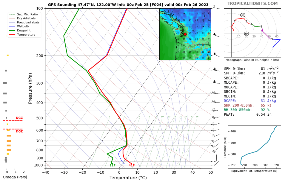
It's going to be pretty surreal tomorrow afternoon knowing there is an impending snowstorm while simultaneously warming into the 40s, with no change in sfc level airmass between peak heating around 3pm and the onset of precipitation around 10pm. Pretty much the only driver behind tomorrow night's snow is the residual dry air in the lower 5000' causing evaporative cooling. Actual temperatures would be far too warm otherwise.
-
39/22 at KSEA today. Stellar. Gonna get kold again tonight.
-
That would be awesome. Depicted snow coverage over the Sound probably means this is some good 31-33F snow too, so elevation may be more of a bonus than a prerequisite.
-
This upcoming Sat-Wed period looks pretty amazing for marginal snow chances. Odds are a few of them will work out here. I desperately want to believe the #epic PSCZ action the Euro has for North Seattle, but it seems that nine times out of ten its southern extent past the Snohomish/King line is overstated, and the Lynwood black hole of death sucks all the precip to the north and buries them in particular. Greedy bastards. Not to mention I live in a narrow valley, so even the highest resolution meso models erroneously double my elevation and blend my area in with Shoreline. North Seattle is pathetically due to get nailed by a PSCZ. Jan 2020 brought an inch or so, but the real action kept just to the north. Jan 2012 is the last time we were under the bullseye for the lower elevations. Apparently it happened on this end of the city quite a bit from 2006-2012. Dec 1990 is of course the granddaddy here.
-
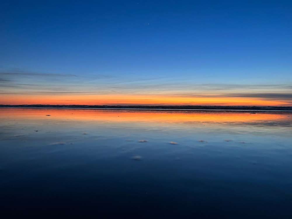
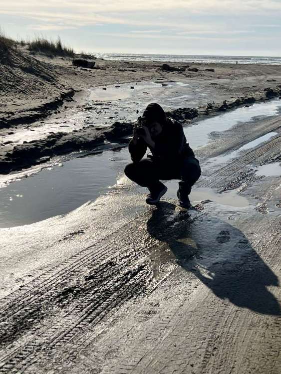
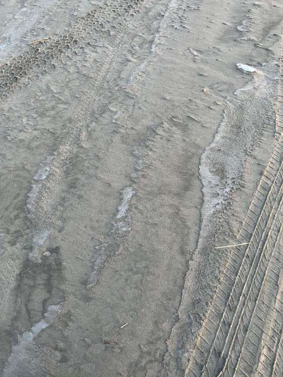
Took the mum out to Ocean Shores today. Extremely windy and cold, the sand was frozen and the ponds all have a layer of ice on them. Brought along the dog too and he was light enough to walk on the thin ice. Funnily enough the residual snow here is still more than what I have at home.
-
Not saying it will happen, just noting that it's approaching that time of year again.
-
First GFS heatwave of the year.
-
That is the stuff I live for.
-
Just need to have persistent westerlies, troughing, and we need to not flash fry the hydrosphere. Things we've avoided every summer dating back to 2012.
-
Why stop the fun there? Let's spend most of July and August cloudy and below 65F!
-
I'm sorry for that awful situation man, I really am, but how on Earth could he have possibly known that? You're throwing this out like a "gotcha" when in reality it really did look like you came up here for snow. Honestly this is an extremely toxic and unfair thing to say. But I'm sure you're in a lot of pain and didn't mean to cause any harm, I get it. You reached your breaking point... It happens. Jesse we've been over this a million times, I'm not a dunce who can't read subtlety
-
I had no idea that was you
-
I'm going to legally drink away the memory of this post
-
I too love to spread misinformation over the internet.
-
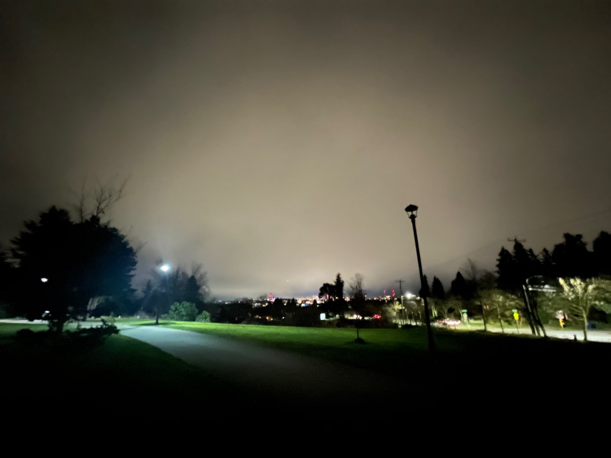
I didn't see any flakes last night due to the dry air, but I did get a good vantage point to view the virga shield overhead. That last minute jog north the low made, along with a stronger than expected high in eastern WA, caused a stronger E-W pressure gradient than expected, and as a result stronger east winds and drying in the low levels.