

SilverFallsAndrew
-
Posts
56520 -
Joined
-
Last visited
-
Days Won
403
Everything posted by SilverFallsAndrew
-

April 2019 Weather Discussion in the PNW
SilverFallsAndrew replied to Omegaraptor's topic in West of the Rockies
Was cool down here. Was not really wet though. -
April 2019 Weather Discussion in the PNW
SilverFallsAndrew replied to Omegaraptor's topic in West of the Rockies
I am aware of about 3 such summers in the past 50 years. -
April 2019 Weather Discussion in the PNW
SilverFallsAndrew replied to Omegaraptor's topic in West of the Rockies
At this point I would not be surprised to see a pattern flip in a week or two. Hopefully not as extreme as what we saw last year, where a summer type pattern established by late April. -
April 2019 Weather Discussion in the PNW
SilverFallsAndrew replied to Omegaraptor's topic in West of the Rockies
What is that? -
April 2019 Weather Discussion in the PNW
SilverFallsAndrew replied to Omegaraptor's topic in West of the Rockies
Eugene ended up with 2.34" yesterday. Up to 1.08" since midnight here. Long range was fairly ridgy on the 06z GFS, but that is an outlier against the ensembles. -
April 2019 Weather Discussion in the PNW
SilverFallsAndrew replied to Omegaraptor's topic in West of the Rockies
Raining heavily with 0.68" of rain already since midnight. Up to 6.41" on the month, Just over a week into the month and we have locked up above average precip. -
April 2019 Weather Discussion in the PNW
SilverFallsAndrew replied to Omegaraptor's topic in West of the Rockies
It was wet down here during the first half April last year too. -
April 2019 Weather Discussion in the PNW
SilverFallsAndrew replied to Omegaraptor's topic in West of the Rockies
If my arithmetic is correct I believe it is already the 7th or 8th wettest April on record at EUG. -
April 2019 Weather Discussion in the PNW
SilverFallsAndrew replied to Omegaraptor's topic in West of the Rockies
Looks like Eugene is now over 2" on the day. 2.16" as of 10pm. New daily record for April. -
April 2019 Weather Discussion in the PNW
SilverFallsAndrew replied to Omegaraptor's topic in West of the Rockies
Level 3 evacuations in the 100 year flood plain of the Row River and Coast Fork Willamette. Dorena Reservoir is full and they are now beginning to release water. Apparently the releases from Dorena will be greater than in February 1996. Lane County Sheriff's Office 35 minsLevel 3 Evacuation notices issued for those in the Row River 100 yr. Floodplain and Coast Fork of the Willamette 100 yr. Floodplain The Lane County Sheriff’s Office and Lane County Emergency Management have been monitoring river levels due to the recent heavy rains. Our number one priority is the safety of the community. Lane County Emergency Management was notified by the US Army Corps of Engineers that water is being released from Dorena Reservoir at historic rates to avoid reservoir overflow, and the releases have already begun. Rates of flow being released from Dorena will be higher than recorded in the 1996 flood. Evacuation notices: Residents who live within the Row River floodplain are being placed on a Level 3 evacuation notice and should leave their homes immediately and seek higher ground. Residents who feel unsafe due to rising waters near their home should take necessary action to protect themselves. The release of water from the Dorena Reservoir will have the most immediate impact on those in the Row River floodplain. There will be a delayed impact on the Coast Fork of the Willamette River floodplain. Those who reside in this area are also being placed on a Level 3 evacuation notice and should leave their homes immediately. -
April 2019 Weather Discussion in the PNW
SilverFallsAndrew replied to Omegaraptor's topic in West of the Rockies
I think the station moved in 1948, but yes the NWS uses records back to 1892 that were taken downtown which is wetter and not as much of a frost hollow. I was going off Mahlon Sweet records exclusively though. 1948-present. -
April 2019 Weather Discussion in the PNW
SilverFallsAndrew replied to Omegaraptor's topic in West of the Rockies
They are still about 8.5" below normal on the water year, but at least making up some ground today. Already a daily rainfall record. The single day April record is 2.05", so within reach. Wettest April of all time at EUG is 7.85" in 1993. Could be in jeopardy. By the end of today it will probably already be a top 10 wettest April. -
April 2019 Weather Discussion in the PNW
SilverFallsAndrew replied to Omegaraptor's topic in West of the Rockies
Eugene up to 1.81" of rain since midnight. 5.1" on the month now. -
April 2019 Weather Discussion in the PNW
SilverFallsAndrew replied to Omegaraptor's topic in West of the Rockies
Precipitation is increasing again The lord is blessing us mightily today. -
April 2019 Weather Discussion in the PNW
SilverFallsAndrew replied to Omegaraptor's topic in West of the Rockies
Fun to have some weather to track that will also have a great positive impact on our summer water situation. Willamette Basin Reservoirs will be brimming now! -
April 2019 Weather Discussion in the PNW
SilverFallsAndrew replied to Omegaraptor's topic in West of the Rockies
Daily rainfall totals for April through 4:20pm today 1st: 0.19 2nd: 0.86 3rd: 0.39 4th: 0.59 5th: 0.70 6th: 1.71 7th: 1.18 Total: 5.62" -
April 2019 Weather Discussion in the PNW
SilverFallsAndrew replied to Omegaraptor's topic in West of the Rockies
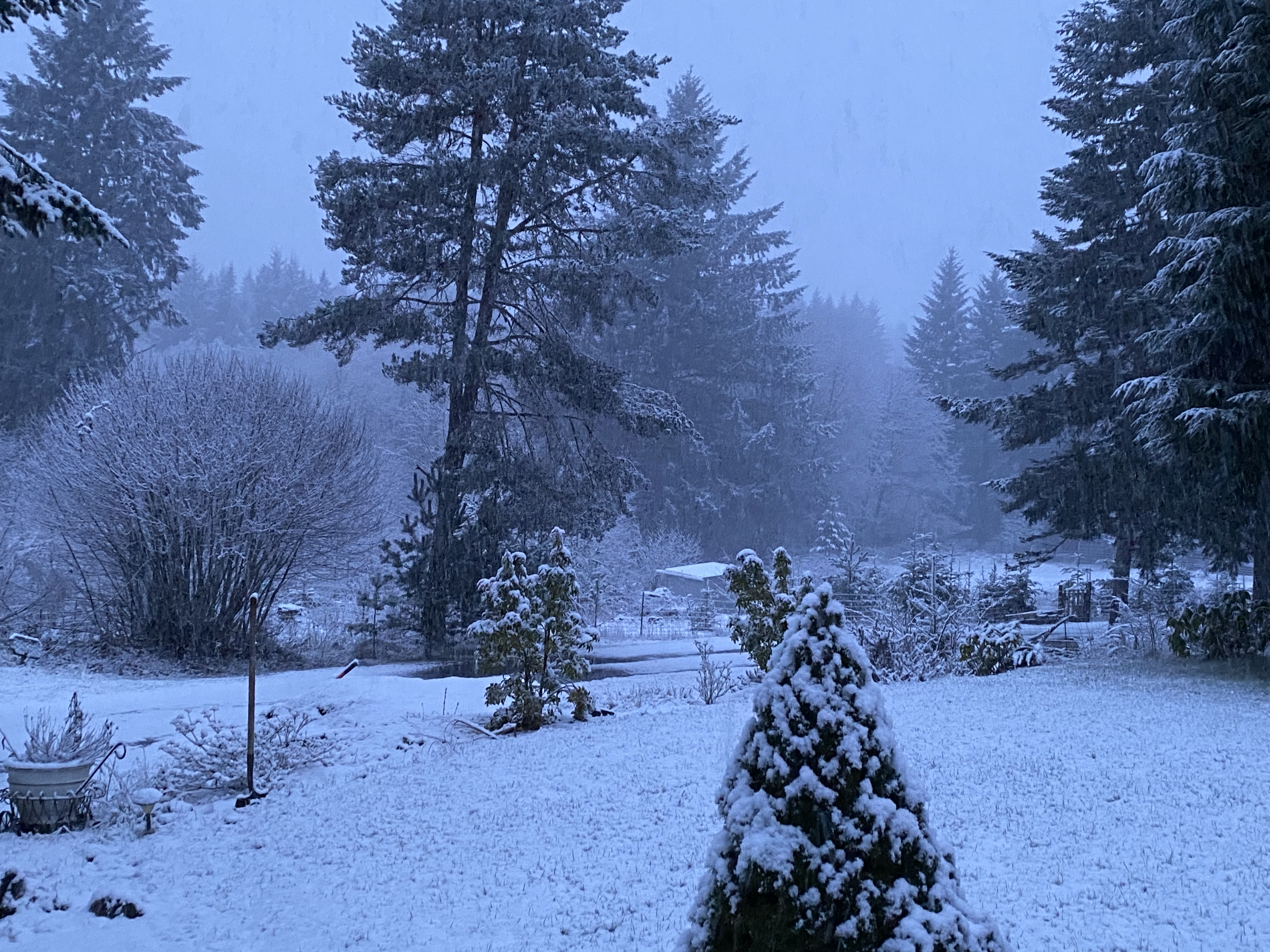
Some visitors this afternoon. -
April 2019 Weather Discussion in the PNW
SilverFallsAndrew replied to Omegaraptor's topic in West of the Rockies
Looking like next weekend could be wet too. -
April 2019 Weather Discussion in the PNW
SilverFallsAndrew replied to Omegaraptor's topic in West of the Rockies
Flood warnings now posted for the Long Tom, Mohawk, and Coast Fork Willamette Rivers in the Southern Willamette Valley. -
April 2019 Weather Discussion in the PNW
SilverFallsAndrew replied to Omegaraptor's topic in West of the Rockies
Looks like Eugene is up to 1.36" of rain since midnight -
April 2019 Weather Discussion in the PNW
SilverFallsAndrew replied to Omegaraptor's topic in West of the Rockies
Up to 1.14" of rain since midnight. Heaviest rain right now on a line between Salem and the south Metro area. -
April 2019 Weather Discussion in the PNW
SilverFallsAndrew replied to Omegaraptor's topic in West of the Rockies
Meh, but still easily broke the daily record...Eugene had much more than PDX yesterday, but it wasn't even a record. -
April 2019 Weather Discussion in the PNW
SilverFallsAndrew replied to Omegaraptor's topic in West of the Rockies
...RECORD DAILY MAXIMUM RAINFALL FOR APRIL 6... LOCATION DAILY RAIN (INCHES) PREVIOUS (YEAR) ------------------------------------------------------- HILLSBORO 0.77 0.59 (1963) PORTLAND 0.78 0.61 (2013) TROUTDALE 0.88 0.79 (2013) SALEM 1.21 0.89 (1980) -
April 2019 Weather Discussion in the PNW
SilverFallsAndrew replied to Omegaraptor's topic in West of the Rockies
I saw some of the damage from Texas. Not sure I would envy that! -
April 2019 Weather Discussion in the PNW
SilverFallsAndrew replied to Omegaraptor's topic in West of the Rockies
The National Weather Service in Portland has issued a * Flood Warning for The Siuslaw River near Mapleton * from this afternoon to late Monday night. * At 9 AM Sunday the stage was...16.1 feet / 18300 cfs. * Flood stage is 18.0 feet and flood flow is 22600 cfs. * Moderate flooding is forecast. * Forecast...This river is forecast to rise above flood stage around 1 PM Sunday and is expected to crest at 22.2 ft around 11 PM Sunday. * Impact...Above 22 ft, expect widespread flooding of low-lying land. Several homes and structures in low areas of Mapleton start to flood. Numerous rural roads along and near the Siuslaw River will likely be flooded, and water begins to cover the lower sections of Hwy 126 at this stage. Flooding may be exacerbated during high tide.
