
SilverFallsAndrew
-
Posts
56573 -
Joined
-
Last visited
-
Days Won
403
Everything posted by SilverFallsAndrew
-

January 2019 Weather in the Pacific Northwest
SilverFallsAndrew replied to Requiem's topic in West of the Rockies
Ahhhhhhhhhhhhhhhhhhhhhhhhhhhhhhhhhhhh -
January 2019 Weather in the Pacific Northwest
SilverFallsAndrew replied to Requiem's topic in West of the Rockies
The EPS pretty much agrees completely with the operational. -
January 2019 Weather in the Pacific Northwest
SilverFallsAndrew replied to Requiem's topic in West of the Rockies
Whenever I post them people just ***** about not being able to see them. Sorry. The area between Port Angeles and Port Townsend gets absolutely HAMMERED Monday/Tuesday with snow. -
January 2019 Weather in the Pacific Northwest
SilverFallsAndrew replied to Requiem's topic in West of the Rockies
EURO shows a high of 26 at BLI next Tuesday. -
January 2019 Weather in the Pacific Northwest
SilverFallsAndrew replied to Requiem's topic in West of the Rockies
Seattle metro at the lower elevations has about 3-5" it looks like. I'll pull the northern map to see those areas. -
January 2019 Weather in the Pacific Northwest
SilverFallsAndrew replied to Requiem's topic in West of the Rockies
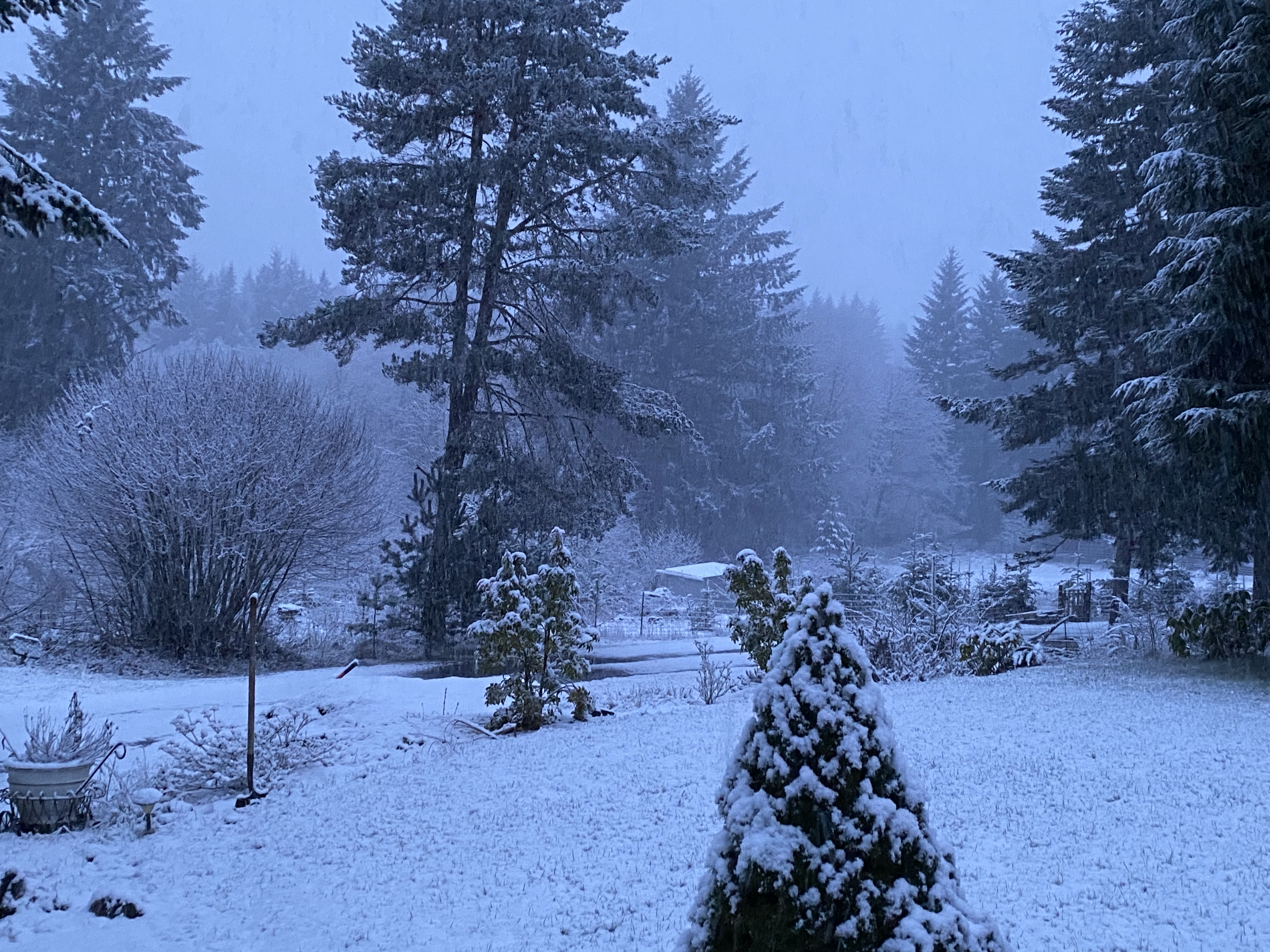
EURO very clearly shows the snow levels plunging to about 1000' by 10pm Sunday night and to the valley floors by Monday morning. It looks like some kind of energy comes through Tuesday morning too which would be all snow to the valley floors. Then Thursday the "reload" comes in which is pretty good for snow north of Portland and about 1-2" for PDX with about 1" or so from Albany north. Total snow up at my place looks to be around 10-12" throughout the period with no more than 3-4" with each event. Sort of reminiscent of last February, except maybe slightly cooler because its earlier in the season. Total snow for NW Oregon metro areas. PDX 2-4" SLE: 1-3" EUG: 1-3" -
January 2019 Weather in the Pacific Northwest
SilverFallsAndrew replied to Requiem's topic in West of the Rockies
EURO showing quite a few low 20s in the Willamette Valley Monday-Wednesday for lows. -
January 2019 Weather in the Pacific Northwest
SilverFallsAndrew replied to Requiem's topic in West of the Rockies
Sunday could be one of those days where the temp drops slowly from midnight on. -
January 2019 Weather in the Pacific Northwest
SilverFallsAndrew replied to Requiem's topic in West of the Rockies
EURO showing highs in the low 40s Sunday Salem-PDX, upper 40s for EUG. Then highs about 35-40 Monday-Thursday. In Puget Sound it looks like low 40s Sunday. Low to mid 30s Monday-Wednesday! And upper 30s Thursday! -
January 2019 Weather in the Pacific Northwest
SilverFallsAndrew replied to Requiem's topic in West of the Rockies
For some reason February 1985 keeps popping into my head. I know that was a Nina, and a different setup with coast to coast cold, but from an observed weather stand point we might have a chance at something like that. -
January 2019 Weather in the Pacific Northwest
SilverFallsAndrew replied to Requiem's topic in West of the Rockies
Good to see some valley locales at or well below freezing this morning on what should be a pretty warm day. SLE warming quick, but hit freezing overnight at least. EUG still stuck in the fog so that one might be one to watch. -
January 2019 Weather in the Pacific Northwest
SilverFallsAndrew replied to Requiem's topic in West of the Rockies
If I get an inch or two I won't complain. -
January 2019 Weather in the Pacific Northwest
SilverFallsAndrew replied to Requiem's topic in West of the Rockies
The GFS ensemble improvement is pretty striking. -
January 2019 Weather in the Pacific Northwest
SilverFallsAndrew replied to Requiem's topic in West of the Rockies
Looks like a good convergence zone. Valleys get shadowed probably nice in the foothills down here. -
January 2019 Weather in the Pacific Northwest
SilverFallsAndrew replied to Requiem's topic in West of the Rockies
WOWzers. Glad I paid for this in flight WiFi! -
January 2019 Weather in the Pacific Northwest
SilverFallsAndrew replied to Requiem's topic in West of the Rockies
So you are saying we can't even blame this shitty winter on El Nino now? The hits keep coming. -
January 2019 Weather in the Pacific Northwest
SilverFallsAndrew replied to Requiem's topic in West of the Rockies
It might hold together as it is mainly missing us to the east. -
January 2019 Weather in the Pacific Northwest
SilverFallsAndrew replied to Requiem's topic in West of the Rockies
Poor Jim. -
January 2019 Weather in the Pacific Northwest
SilverFallsAndrew replied to Requiem's topic in West of the Rockies
Here comes splitting worthless trough #3 -
January 2019 Weather in the Pacific Northwest
SilverFallsAndrew replied to Requiem's topic in West of the Rockies
The GEM and GFS are not even close to anything interesting. It's amazing how good the GFS and its ensembles were trending and how quickly the totally did an about face. I guess we should have expected it, but a continuation of the same split flow pattern which has been dominant is almost a given now. Maybe some snow at the passes, yay. -
January 2019 Weather in the Pacific Northwest
SilverFallsAndrew replied to Requiem's topic in West of the Rockies
Hour 72 and you can already tell its going to be a dud in the realistic range. Problem is the initial trough is baggy and splitty. Easy to see the difference when comparing to the good runs. -
January 2019 Weather in the Pacific Northwest
SilverFallsAndrew replied to Requiem's topic in West of the Rockies
Totally lost the ICON now. -
January 2019 Weather in the Pacific Northwest
SilverFallsAndrew replied to Requiem's topic in West of the Rockies
12z running now! -
January 2019 Weather in the Pacific Northwest
SilverFallsAndrew replied to Requiem's topic in West of the Rockies
06z ensembles were slightly better than the 00z ones. -
January 2019 Weather in the Pacific Northwest
SilverFallsAndrew replied to Requiem's topic in West of the Rockies
At least the mountains could get snow.
