
SilverFallsAndrew
-
Posts
56361 -
Joined
-
Last visited
-
Days Won
402
Everything posted by SilverFallsAndrew
-

January 2019 Weather in the Pacific Northwest
SilverFallsAndrew replied to Requiem's topic in West of the Rockies
A couple near misses on the 00z. Then if we extrapolate out from hour 384 -
January 2019 Weather in the Pacific Northwest
SilverFallsAndrew replied to Requiem's topic in West of the Rockies
We moved to Salem/Silverton in 1989 so that through really 1996 was a pretty good period even down here...Then things went haywire. -
January 2019 Weather in the Pacific Northwest
SilverFallsAndrew replied to Requiem's topic in West of the Rockies
The most astonishing stat is SLE went 23 years (1990-2013) without recording a single digit low. That was typically about a once every 5-7 year occurrence before then. -
January 2019 Weather in the Pacific Northwest
SilverFallsAndrew replied to Requiem's topic in West of the Rockies
However highs lower than my random demarcation line of 24 degrees were much more common. I posted the two dates since 1990 at SLE, here are the 17 dates in the similar time period prior. 2/4/89 2/3/89 2/2/89 12/1/85 12/22/83 1/1/79 12/31/78 12/10/72 12/9/72 12/8/72 12/7/72 12/6/72 1/28/69 1/25/69 12/30/68 12/18/64 12/17/64 -
January 2019 Weather in the Pacific Northwest
SilverFallsAndrew replied to Requiem's topic in West of the Rockies
Just miss a backdoor blast on day 10/11 on the 00z and then another one later in the run. Then I get slammed with this on my daughters birthday in Tulsa. -
January 2019 Weather in the Pacific Northwest
SilverFallsAndrew replied to Requiem's topic in West of the Rockies
Yes, that 1963-1990 period was a really good winter period though. So that is kind of comparing the present era to a high water mark. Also I believe EUG and PDX had highs of 24 or lower in February 2014. -
January 2019 Weather in the Pacific Northwest
SilverFallsAndrew replied to Requiem's topic in West of the Rockies
Crunched some numbers for SLE. Highs of 24 or lower January 1963-December 1990: 22 January 1991-Present: 2 -
January 2019 Weather in the Pacific Northwest
SilverFallsAndrew replied to Requiem's topic in West of the Rockies
Here is a fun stat if we are going to bring up December 1990. SLE had 5 highs of 24 or lower (Counting the secondary blast later in the month.). 12/20: 18 12/21: 18 12/22: 21 12/23: 24 12/29: 24 In the 28+ years since then 12/21/98: 22 1/5/04: 24 Totally nuts... -
January 2019 Weather in the Pacific Northwest
SilverFallsAndrew replied to Requiem's topic in West of the Rockies
Point taken. Listing the house tomorrow. -
January 2019 Weather in the Pacific Northwest
SilverFallsAndrew replied to Requiem's topic in West of the Rockies
Down to 31. Upper 20s looking likely again tonight. -
January 2019 Weather in the Pacific Northwest
SilverFallsAndrew replied to Requiem's topic in West of the Rockies
What if I want to protest cops for shooting an adult who pulled a gun at a school? Seems like the ONLY place to move! -
January 2019 Weather in the Pacific Northwest
SilverFallsAndrew replied to Requiem's topic in West of the Rockies
There were a few patches here and there, but essentially none. I would imagine Mary's Peak doesn't get the type of snowpack you would see at a similar elevation in the Cascades as it is a bit more impacted by the effects of the Pacific. -
January 2019 Weather in the Pacific Northwest
SilverFallsAndrew replied to Requiem's topic in West of the Rockies
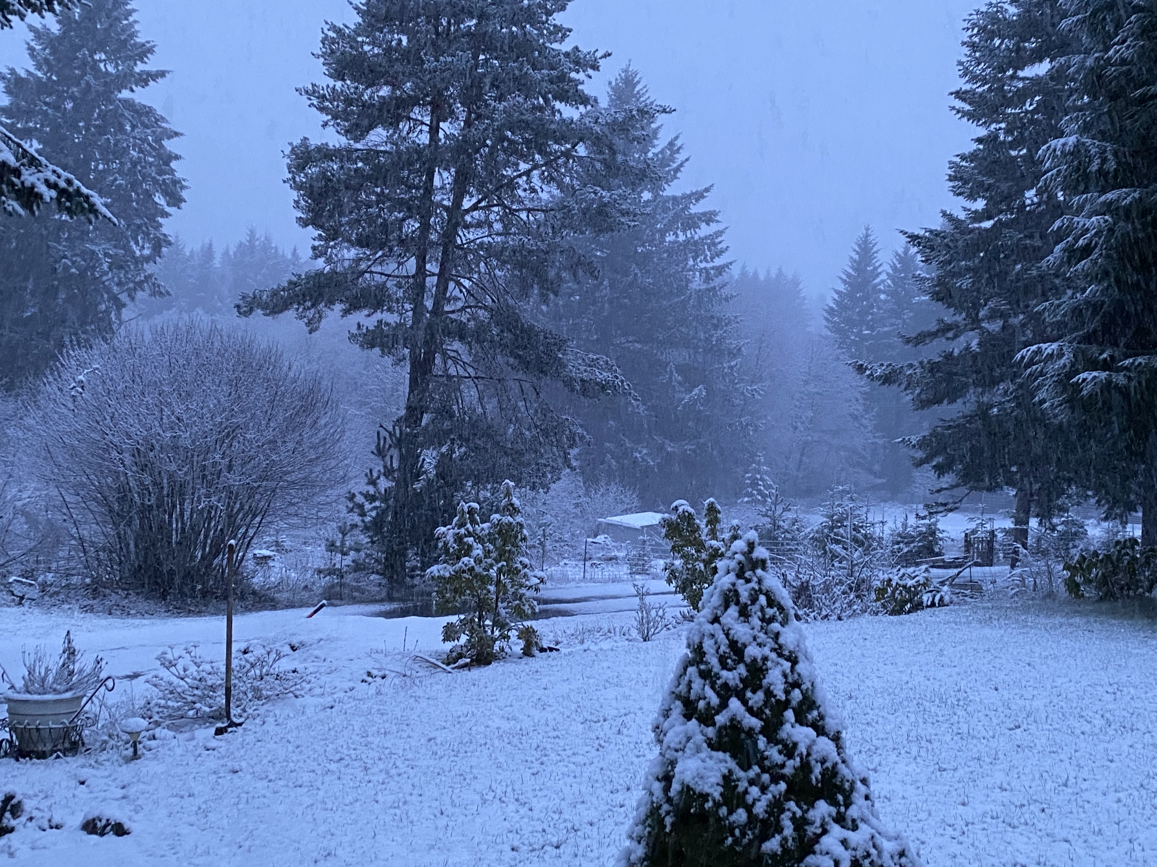
Down to 34. At least it seems like winter. -
January 2019 Weather in the Pacific Northwest
SilverFallsAndrew replied to Requiem's topic in West of the Rockies
Beautiful. -
January 2019 Weather in the Pacific Northwest
SilverFallsAndrew replied to Requiem's topic in West of the Rockies
As promised Mary's Peak This is Mt. Jefferson in the distance. Three Sisters with Mt. Bachelor to the south. My daughter and Mt. Hood in the distance. Beazell Memorial Forest near Kings Valley. Was much cooler down here at about 600' in a calm protected valley. Fort Hoskins -
January 2019 Weather in the Pacific Northwest
SilverFallsAndrew replied to Requiem's topic in West of the Rockies
Not again FV3 -
January 2019 Weather in the Pacific Northwest
SilverFallsAndrew replied to Requiem's topic in West of the Rockies
No you can't see over the Cascades, Mary's peak is only a little over 4,000' feet tall. -
January 2019 Weather in the Pacific Northwest
SilverFallsAndrew replied to Requiem's topic in West of the Rockies
Went to Mary's Peak west of Corvallis yesterday. Was incredibly beautiful. Not packed at all, but a steady stream of people taking the rare opportunity to drive to the top of the 4,097' peak in the dead of winter. Unbelievable views of the Willamette Valley and Cascades from Diamond Peak north to Mt. Rainier. -
January 2019 Weather in the Pacific Northwest
SilverFallsAndrew replied to Requiem's topic in West of the Rockies
I have been working in the yard in shorts too... Looks like I hit 41 earlier. -
January 2019 Weather in the Pacific Northwest
SilverFallsAndrew replied to Requiem's topic in West of the Rockies
This run goes nowhere. -
January 2019 Weather in the Pacific Northwest
SilverFallsAndrew replied to Requiem's topic in West of the Rockies
Yeah, the pattern has some promise, but the real cold air is MUCH further east. -
January 2019 Weather in the Pacific Northwest
SilverFallsAndrew replied to Requiem's topic in West of the Rockies
18z is going a different direction...Can't tell quite what yet though. -
January 2019 Weather in the Pacific Northwest
SilverFallsAndrew replied to Requiem's topic in West of the Rockies
I'm reading that you are saying it is extremely unlikely, I agree. Anything is possible, and so I keep paying attention to the models, but the chances are pretty low. Also I think some are saying discount climo because this winter did not have the early season cold snap as 91-92 or 02-03. You are saying, follow dud winter climo. This one reminds me more of 04-05. -
January 2019 Weather in the Pacific Northwest
SilverFallsAndrew replied to Requiem's topic in West of the Rockies
Inland Empire. -
January 2019 Weather in the Pacific Northwest
SilverFallsAndrew replied to Requiem's topic in West of the Rockies
What's probably most likely is some cold air dumping east of the Cascades and some brisk 48/27 type days in early February.
