
SilverFallsAndrew
-
Posts
56440 -
Joined
-
Last visited
-
Days Won
402
Everything posted by SilverFallsAndrew
-

November 2018 Weather in the Pacific Northwest
SilverFallsAndrew replied to Timmy Supercell's topic in West of the Rockies
You can see where that AR sets up. -
November 2018 Weather in the Pacific Northwest
SilverFallsAndrew replied to Timmy Supercell's topic in West of the Rockies
Did you see the 18z FV3-GFS? It is shockingly good for NW Washington. -
November 2018 Weather in the Pacific Northwest
SilverFallsAndrew replied to Timmy Supercell's topic in West of the Rockies
The obligatory 384 hour map. Very cold trough phasing with the cutoff low offshore. Looks solid. But overall a VERY interesting run. -
November 2018 Weather in the Pacific Northwest
SilverFallsAndrew replied to Timmy Supercell's topic in West of the Rockies
Wow, the FV3 keeps it going for several days, basically a battle of the airmasses...Very wet for NW Oregon. -
November 2018 Weather in the Pacific Northwest
SilverFallsAndrew replied to Timmy Supercell's topic in West of the Rockies
If I was Tim that is what I would be saying. Did you know he has never been wrong? -
November 2018 Weather in the Pacific Northwest
SilverFallsAndrew replied to Timmy Supercell's topic in West of the Rockies
So probably meaningless, but the FV3-GFS shows snow north of Seattle next Sunday night. Looks like Fraser outflow with a low to the south. Also about a 2-3day AR into NW Oregon. -
November 2018 Weather in the Pacific Northwest
SilverFallsAndrew replied to Timmy Supercell's topic in West of the Rockies
There we go! -
November 2018 Weather in the Pacific Northwest
SilverFallsAndrew replied to Timmy Supercell's topic in West of the Rockies
Yeah I did, but it goes to show what quasi-stationary heavy precip can do. EURO snow maps are still garbage. -
November 2018 Weather in the Pacific Northwest
SilverFallsAndrew replied to Timmy Supercell's topic in West of the Rockies
Doesn't even look like WSU is even trying anymore. They look like a defeated team. -
November 2018 Weather in the Pacific Northwest
SilverFallsAndrew replied to Timmy Supercell's topic in West of the Rockies
This weather probably favors the Huskies. -
November 2018 Weather in the Pacific Northwest
SilverFallsAndrew replied to Timmy Supercell's topic in West of the Rockies
Now lets see if they get 6" in Pullman . -
November 2018 Weather in the Pacific Northwest
SilverFallsAndrew replied to Timmy Supercell's topic in West of the Rockies
The ensembles weren't a trainwreck. A few solidly cold members, overall much wetter. -
November 2018 Weather in the Pacific Northwest
SilverFallsAndrew replied to Timmy Supercell's topic in West of the Rockies
I am around 3" now on the month. Average for the entire month is 11" so definitely running behind. -
November 2018 Weather in the Pacific Northwest
SilverFallsAndrew replied to Timmy Supercell's topic in West of the Rockies
Wow! -
November 2018 Weather in the Pacific Northwest
SilverFallsAndrew replied to Timmy Supercell's topic in West of the Rockies
No. We thought about it, but my family decided to do Thanksgiving today, so we are just going to be in Silverton. The only scenario I could see snow falling at Pullman, and probably what the EURO is showing is a stalled band of heavy precip. 44 and partly sunny in Pullman right now. -
November 2018 Weather in the Pacific Northwest
SilverFallsAndrew replied to Timmy Supercell's topic in West of the Rockies
Other than this map nothing is indicating this will happen. -
November 2018 Weather in the Pacific Northwest
SilverFallsAndrew replied to Timmy Supercell's topic in West of the Rockies
Next weekend has the potential for some chillish weather. -
November 2018 Weather in the Pacific Northwest
SilverFallsAndrew replied to Timmy Supercell's topic in West of the Rockies
Came up on FaceBook memories! -
November 2018 Weather in the Pacific Northwest
SilverFallsAndrew replied to Timmy Supercell's topic in West of the Rockies
It wasn't bad down south either. Salem had 5" of snow on the 14th that stuck around for 4-5 days. Ended up well below average even down here. However, nothing like shown on that map came close to verifying. Just looked at Silver Falls data, what stands out is how consistently cool the month was. Never had a high over 43 there. Every day from the 9th on had a sub-40 high. I never really noticed until now, but they had a streak of sub-40 highs from December 8 - January 17th. May be a record for that location. -
November 2018 Weather in the Pacific Northwest
SilverFallsAndrew replied to Timmy Supercell's topic in West of the Rockies
What it shows on that map I posted above would bring pretty low snow levels north of the low. -
November 2018 Weather in the Pacific Northwest
SilverFallsAndrew replied to Timmy Supercell's topic in West of the Rockies
Beg your pardon? -
November 2018 Weather in the Pacific Northwest
SilverFallsAndrew replied to Timmy Supercell's topic in West of the Rockies
Much warmer and drier than any other model. Tim will be on here posting every 3 hour frame momentarily. -
November 2018 Weather in the Pacific Northwest
SilverFallsAndrew replied to Timmy Supercell's topic in West of the Rockies
The GFS moves this system into CA. The GEM and FV3-GFS want to bring it right through Oregon. -
November 2018 Weather in the Pacific Northwest
SilverFallsAndrew replied to Timmy Supercell's topic in West of the Rockies
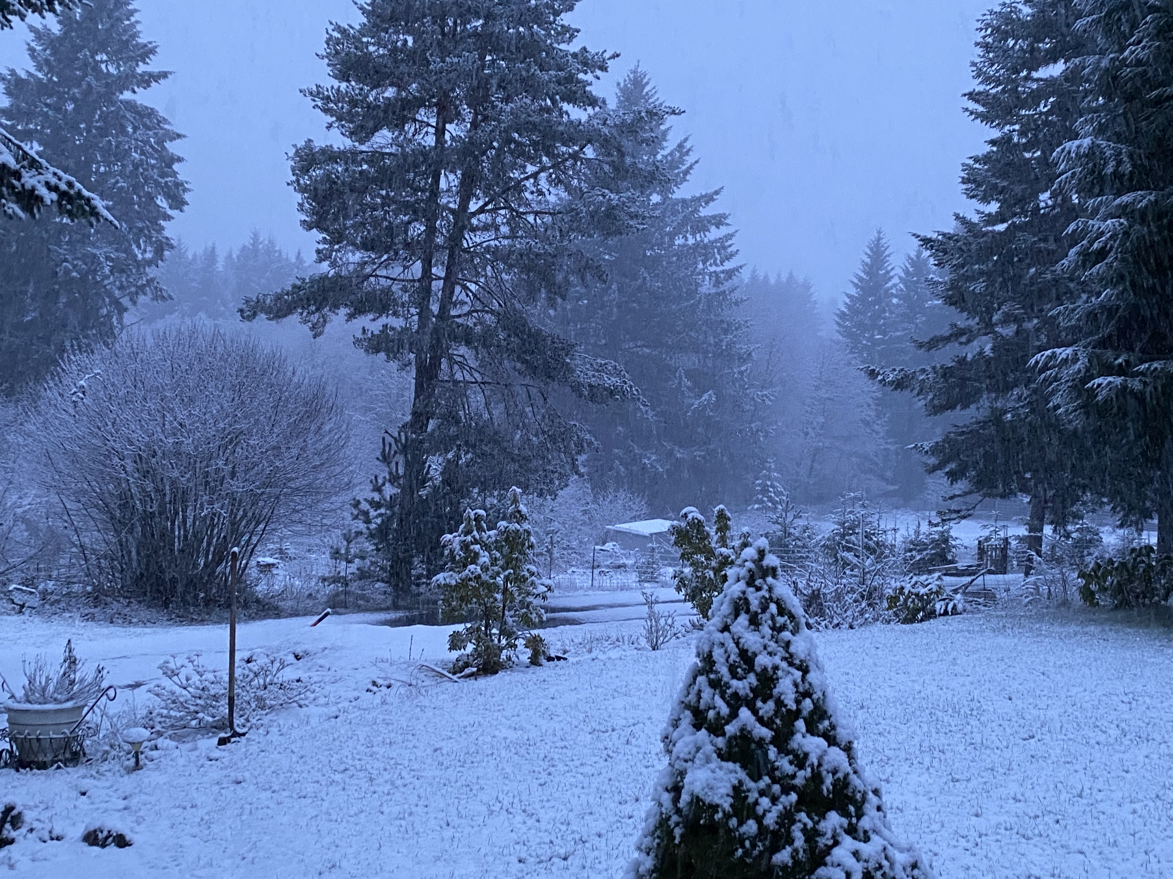
Some eye candy from two years ago. Didn't turn out quite this good, but the early December period did bring a solid 4-5" snowfall up here and about an inch in the valley from Salem north. -
November 2018 Weather in the Pacific Northwest
SilverFallsAndrew replied to Timmy Supercell's topic in West of the Rockies
Much wetter than the GFS, both have a fairly cool trough by next weekend.
