
SilverFallsAndrew
-
Posts
56313 -
Joined
-
Last visited
-
Days Won
402
Everything posted by SilverFallsAndrew
-
If you live in Eugene you love the 00z. They weren't going to get snow with a transition event anyways... http://www.atmos.washington.edu/mm5rt/data/2014020400/images_d2/or_snow24.96.0000.gif
-
Fascinated to see the GEM and Ensembles now... The NAM must have been backing off too though. It only showed 850s at about 11C for PDX and SLE...Still very cold at the surface though.
-
If the 00z verified SLE would have a sub freezing high with light snow.
-
Word is the WRF is radically different.
-
Wow, this major blast just went to modified in one run! Crazy...We'll see if this is a major outlier.
-
What if EUG got another snow storm and the overrunning fell apart...
-
The 00z is so radically different it kind of just blew my mind.
-
Except now its bringing a surface low at Roseburg...with light precip as far north as probably Aurora. Where the hell did this come from?!
-
Of course it give Eugene to Salem a snow event on Friday.
-
Still plenty cold for Seattle, but the 00z really waters down the big blast. At hour 69 SLE has -9C with 522 thickness vs. -13C with 515 thickness on the 18z. Really watered down,
-
Wow. 00z GFS is WAY warmer at hour 69 than the 18z.
-
People are going to drill me for this, but I wouldn't be stunned if SLE and EUG hit 32-33 on Thursday.
-
Oh I understand that. I was not implying PDX was going to be as warm as SLE. I think PDX will easily have the lowest highs of any of the major I-5 stations except for BLI.
-
A much more realistic highs of 28 and 30 at SLE. Lows of 11 at SLE and HIO I notice that it only bottoms 850mb temps out around -11.5C.
-
Have to give him credit for one thing though. He was the only forecaster who called for the snow event in the Salem area on Dec. 22, 2008.
-
23 with light snow at Pendleton currently. Looks like they've picked up enough precip for maybe 2" of snow.
-
Have a feeling that is probably just a little overdone.
-
He was forecasting a high of 41 on Thursday just a couple days ago.
-
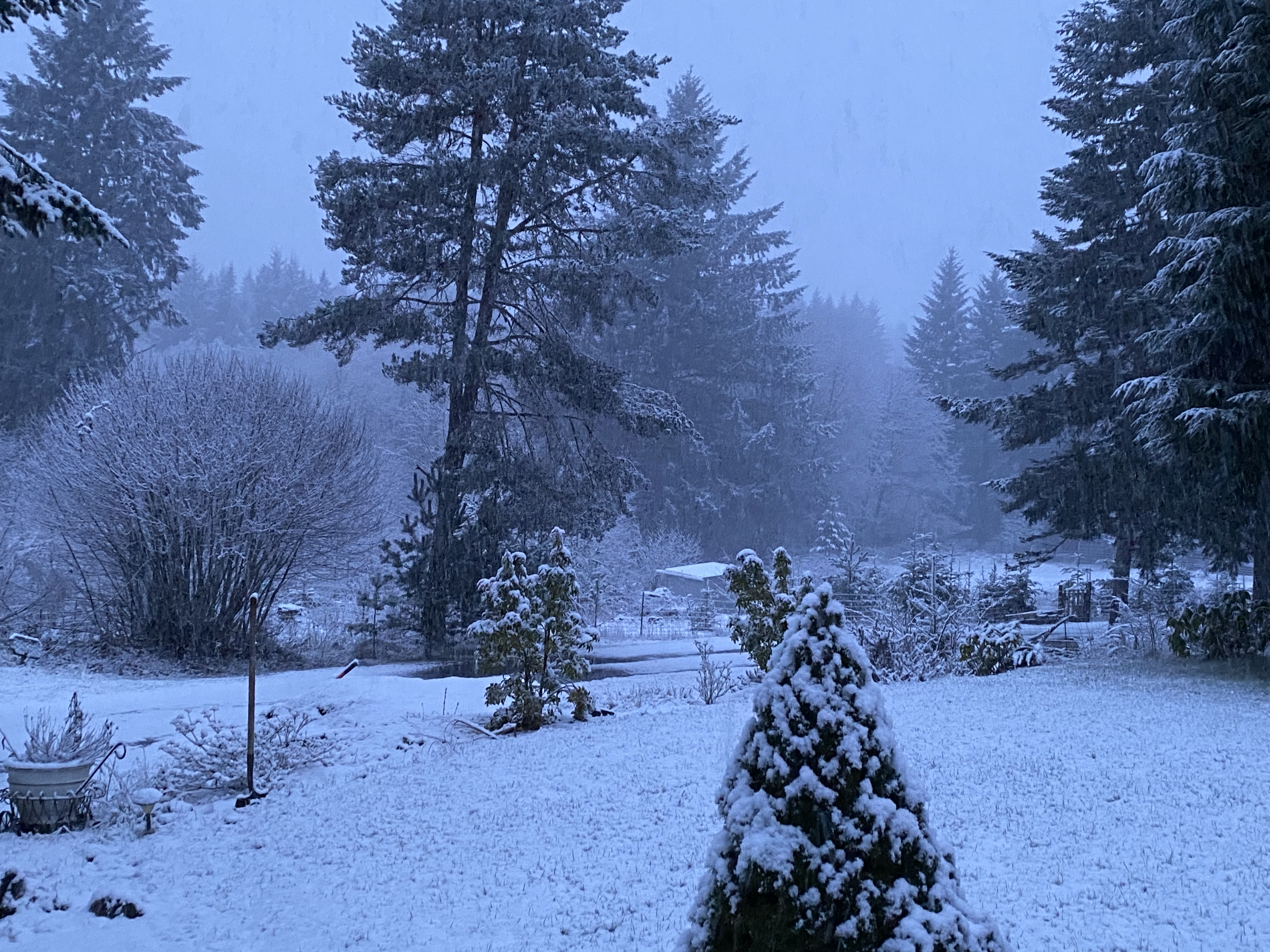
A fresh dusting of snow here. Snowing hard just outside of Silverton at about 1000', looked like about 1/2" on the ground there. Pretty nasty accident on the curves on the Silver Falls highway with a detour set up around it.
-
Not really. Any flow with any kind of NW component is death at my location. Straight west and especially SW flow are best like in January 2012.
-
Probably -5 or -6C at 850mb It did snow at my house overnight and this afternoon (And stick).
-
Looking at radar trends a solid dusting is very possible at my place this evening.
-
Amazing how well the lower levels warm with a few sunbreaks in early February. Currently 46 at Salem. 34 at Silver Falls
-
In the long range it looks like zonal flow takes over.
-
I will say there is not a lot of precedence for a major ice storm the 2nd week of February. Of course there isn't a lot of precedence for this type of airmass.

