

SilverFallsAndrew
-
Posts
56495 -
Joined
-
Last visited
-
Days Won
403
Everything posted by SilverFallsAndrew
-
Up to 35 at SLE now...Decent warming away from the Gorge winds. It is February after all...Means nothing for tomorrows potential snow though. Tonight should be cold too, especially if winds slack off!
-
EURO and RPM seem to put my location as ground zero for this storm. SLE up to 31, PDX only 26, they may not get out of the 20s today!
-
Holy hell.
-
As of 10am PDX is at 25, I doubt they hit freezing. SLE at 29, probably a high in the 34-35 range.
-
I'll go with that.
-
The NWS point forecast for my location is calling for 1-3" with the first system 3-6" with the Friday night/Saturday storm.
-
Looks far enough north for snow at PDX.
-
What does the Canandian show for 12z on Friday?
-
WRF keeps all the snow south of Roseburg...So much uncertainty. Either way well below temps will be the rule!
-
So much uncertainty about tomorrow night. I'm thinking tonight is going to be a pretty cold one...Right now I think I'll at least see some snow tomorrow night.
-
I'm pretty impressed that my temp fell all the way to 12 this morning. Especially since it was 24 when I went to bed at 2am.
-
Spokane at -1. And I'd wait for the GFS before getting all hot and bothered about Saturday.
-
I was talking about the east side of the metro area. If the models show .10-.20" of precip, nowhere near that much will fall in places like TTD or Gresham. That is just a fact.
-
Wow, the NAM takes Saturday's system so far south even Salem just gets some flurries!
-
The 516 thickness line actually makes it to PDX on the NAM.
-
Thats why I'm so happy I got 2.5" of snow over the past couple of days.
-
Yeah, the NAM's placement is pretty much a perfect spot for the Central Valley. PDX still gets some snow though. If that verified places near the gorge probably wouldn't get much due to the dry air and howling E. wind.
-
12z NAM definitely not further north...
-
Calm winds and clearing skies combined with snow cover have allowed my temps to plunge. 14 degrees.
-
Here is the simulated radar for 18z Saturday. At this time the 0C 850mb line is at about EUG and 850mb temps at SLE are about -4C, PDX -6C. http://mag.ncep.noaa.gov/data/nam/06/nam_namer_084_sim_radar.gif
-
NAM simulated radar for 12z Friday. http://mag.ncep.noaa.gov/data/nam/06/nam_namer_054_sim_radar.gif
-
NAM not backing off the Willamette Valley snowstorm.
-
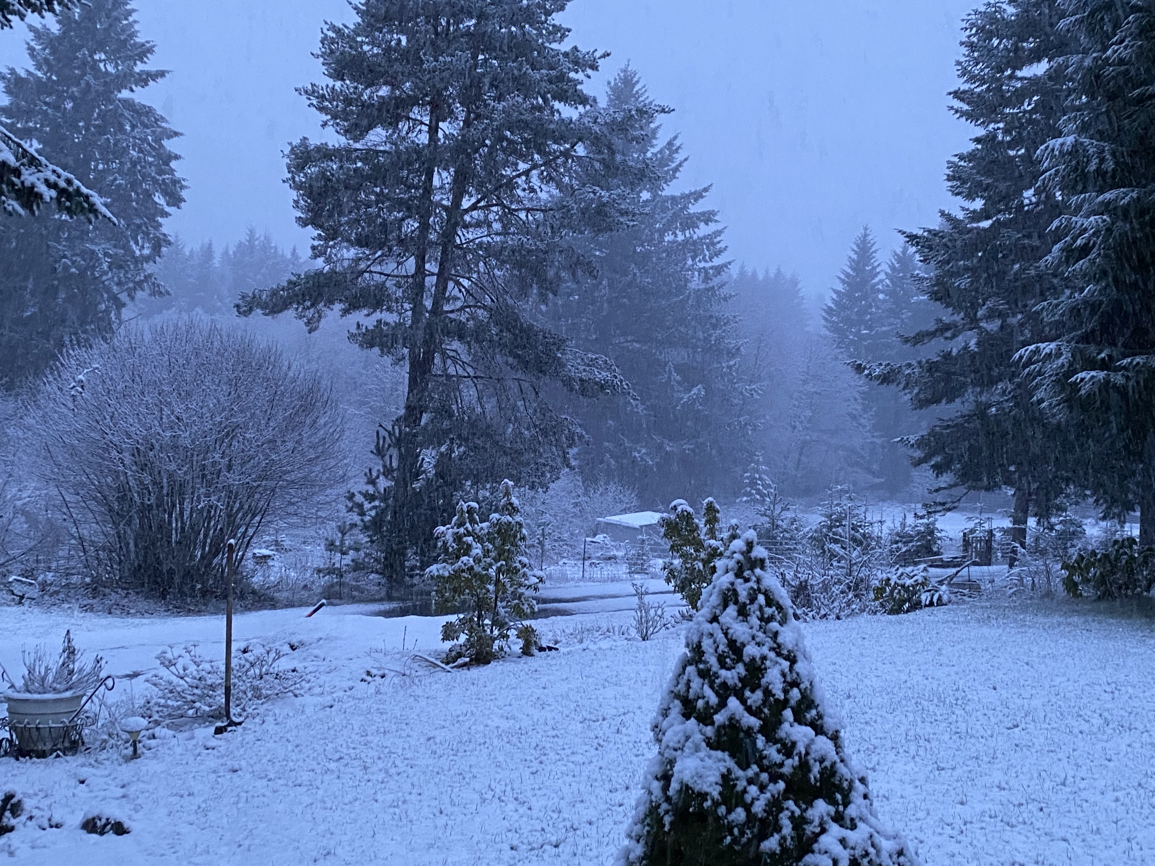
Some light snow falling. Temp down to 27 and the N wind is beginning to pick up a little.
-
There was a spot in E. Oregon about 30 miles SE of Bend that hit -41 with the December blast.
-
-8 DP at Spokane as of 10pm.

