
OttumwaSnomow
-
Posts
575 -
Joined
-
Last visited
Everything posted by OttumwaSnomow
-

2/1 - 2/3 MW/Lower Lakes Major Winter Storm (GHD-3)
OttumwaSnomow replied to Tom's topic in East of the Rockies
I dont trust the gfs at all. Short term models will figure this out. We are entering the killer timeframe for the euro tho. But over my life I have seen many winter storm move 40 to 100 miles further north than progged. The Jan 1st storm kinda did that. I prefer a southern trend rather than a northern trend -
2/1 - 2/3 MW/Lower Lakes Major Winter Storm (GHD-3)
OttumwaSnomow replied to Tom's topic in East of the Rockies
I saw 36" from 4 am until 7 pm on feb 11th 1983 Mt Airy Maryland about 35 miles west of I95 1000 ft elevation. Completely whiteout conditions 6 to 7 hours with continuous thundersnow. Truly unforgettable.. -
February 2022 Observations and Discussions
OttumwaSnomow replied to Grizzcoat's topic in East of the Rockies
In my 15 years in the Ottumwa area. Ive seen minus 27, minus 22, and probably 10 times of minus 16 to minus 20. Those were 2 diff rural areas south and west of Ottumwa. Im sure the creekside late jan 2019 was minus 30 or colder that morning. I suspect one day i will see minus 30 here. -
I have to rant. Our nws 0% chance of snow today. Twc app 100% today. I woke to this. Completely unexpected. Why are midwest noaa offices so horrible?
-
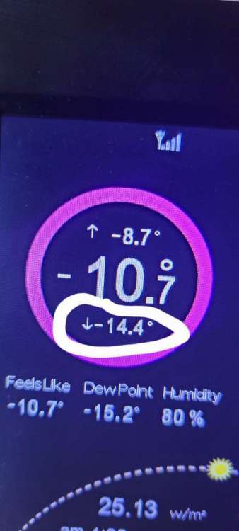
-14.4 But im on top of hill at my new farm. My old place was probably -20. My son is there but his station quit working.
-
I lived in Maryland feb 11 1983. Megaopolis storm. Started 4 am ended 7pm. 36" snow. Lightning and thunder 5 straight hrs. 5 inch per hour. That piedmont corridor west of interstate 95 can get absurd snow. Unheard of in midwest. Unless les
-
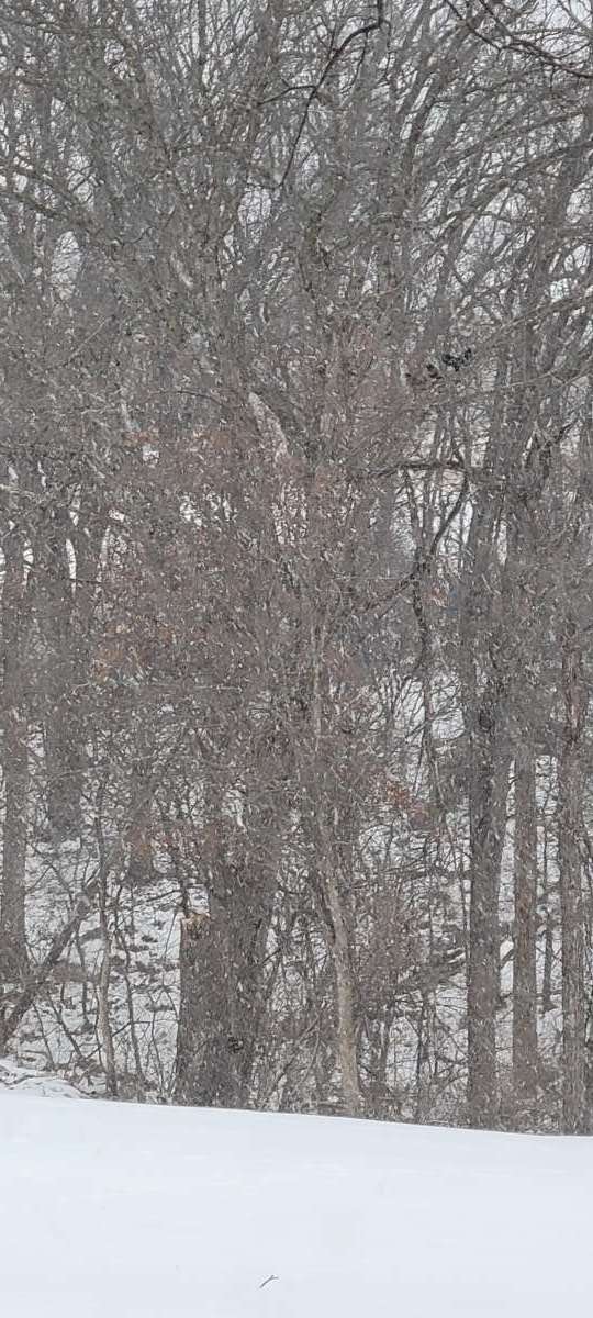
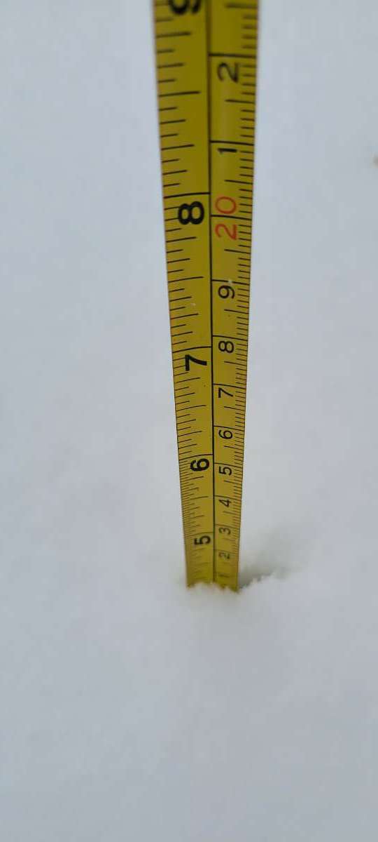
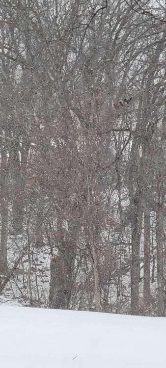
About 9 inches id say. Melted and compacted Tuesday alot. Ive had 19 inches in January and for the season.
-
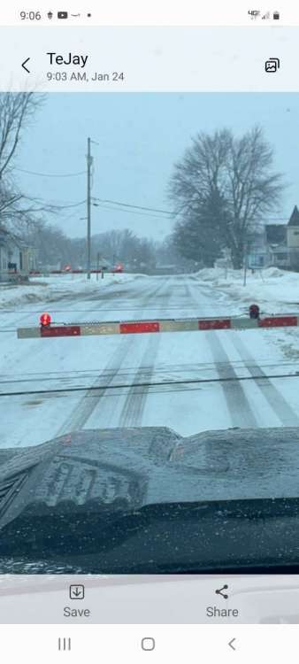
A little late, but about noon i finally could take final measurements from 3 am onward. Storm total 12.2" I also measured several spots around town easy 11 to 12" on north part. In my 14 years in the business here in Southeast Iowa this clearly a top 5 snowfall. Possibly 4th largest. Amazing model progs, kudos to nws and others. I had my doubts a clipper tyle sys could produce such a widespread snow! Good for business! Amazingly am at 19 inches since Jan 1st! 20220115_025116.mp4
-
9.5" 3 am 22F 20220115_025814.mp4
-
5.5 on my board. East edge of Ottumwa Iowa
-
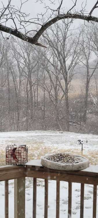
About 3.0 here. Moderate snow now still 32F. Hasnt mixed with rain at all in Ottumwa. But really has never been more than light to occasionally Moderate
-
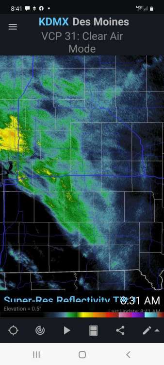
First band came straight to OTM. Bodes well long duration here. 20220114_084027.mp4
-
Ottumwa been a nice bullseye in recent years. But were playing catch up this yr
-
Well we are preparing for 5 plus inches. On new years day I was the bullseyes for days but a weak dryslot in the storm here held me under 7 inches. 6.5 to 6.8.. this event Im looking good. Another 6 inch probably.
-
That early Jan 1994 polar vortex was just crazy!!! I was away but in south central Pennsylvania mountains where I lived my neighbor said it was -37!!!! Ohio valley set records that may never be broken. Dec 1993 was a blowtorch eastern usa but after that pv the storm train set in. Was the most snow any season of my life 99 inches. 52 in my yard at one point.
-
Autumn & Winter 2021-22 Observations and Discussion
OttumwaSnomow replied to Tom's topic in East of the Rockies
How much is urban sprawl? Where is thermometer located? Urban heat island? Ive seen that in many locations. Not just usa, 100s of reporting stations. -
Im over 6 inches here east side of Ottumwa. But hadnt yet reached the 6 hrs for official measurement. Will tape 4 am.
-
I would say its under performing here. No snow + at all. Light to occasionally moderate. But with temp 5.1F its stacking up. About 4.2.. difficult to measure with drifting.

-
Moderate snow now, about 1 inch. 10.4 F
-
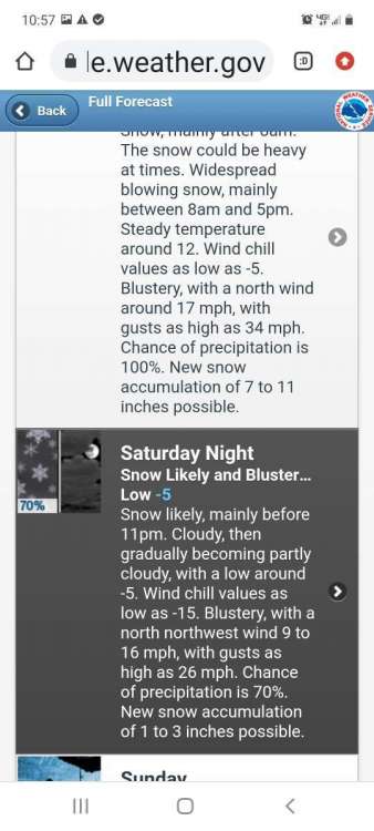
I just noticed NWS increased amounts over my local counties here. 8 -14 is a pretty bold forecast if you look at historical events here. #sweetspot
-
Were are locked and loaded! If this storm misses Ottumwa Iowa will be a shocking bust! 5 days of model runs time after time hit me hard! 4 or 5 inches is probably more profitable but it appears to a great start to January.
-
After the slowest start to winter Ive ever experienced in the midwest, run after run, model after model for several days consistently has my part of se Iowa in the sweet spot. I must admit being in the snow business and a weather enthusiast it will be a unprecedented letdown if this storm bust!

-
12/27 - 12/29 Upper MW/GL's Multi-System Snow Event
OttumwaSnomow replied to Tom's topic in East of the Rockies
I literally havent seen a flake. Maybe mid November once i saw few flakes! Had a little sleet n freezing rain tues am. I know the new years day is progged to pound my area. But its hard to be optimistic! -
December 2021 Observations and Discussion
OttumwaSnomow replied to Tom's topic in East of the Rockies
Yesterday I recorded .55 new rain. The largest rain since Nov 10th. Started as sleet and was largely freezing rain on trees and elevated surfaces. We had to treat some spots, especially north facing. Nice see our first legit precip in weeks -
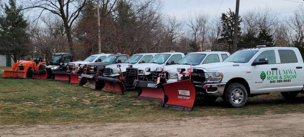
I must admit we look to be sitting pretty here ! We seem to be the sweet spot or near it every run. We are up to 115 accounts and 55 are commercial. So gonna be a busy weekend here!