Doinko
-
Posts
5644 -
Joined
-
Last visited
-
Days Won
9
Everything posted by Doinko
-
Looks like a high of 30 here for the day
-
Afternoon high of 28 at Hillsboro today.
-
Midnight high of 31 at PDX with full sunshine throughout the day is crazy. Last time there was a subfreezing high this late was the 29 degree high in March 1960 which involved precip during the day
-
How's the map for OR?
-
We're up to 7" on the season. Not bad at all 12/4: 0.2" 12/22: 0.3" (sleet) 2/14: 0.5" 2/22: 2" 2/23: 4"
-
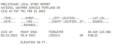
Snow totals from the snowstorm: Text Products for PNS Issued by PQR (weather.gov)
-
I'd probably give it a B+ or A-. Not a crazy amount of snow but we had the chilly November, some snow in early December, the arctic blast in late December and ice storm. Late January we had that small cold wave, some snow in mid February and then of course this amazing blizzard and (most likely) a subfreezing high in late Feb.
-
Temp went from 40 to 34 in 10 minutes
-
Gusts probably in the 40-50mph range right now. Keeping it cooler though, temps are still in mid-upper 20s
-
Hillsboro is down to 27 degrees and reporting blowing snow
-
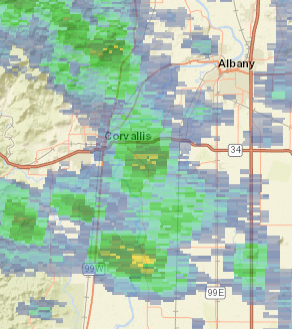
Corvallis could be seeing something
-
Still 29 at PDX
-
Some strong showers south of Dallas right now
-
Only up to 29 at PDX so far
-
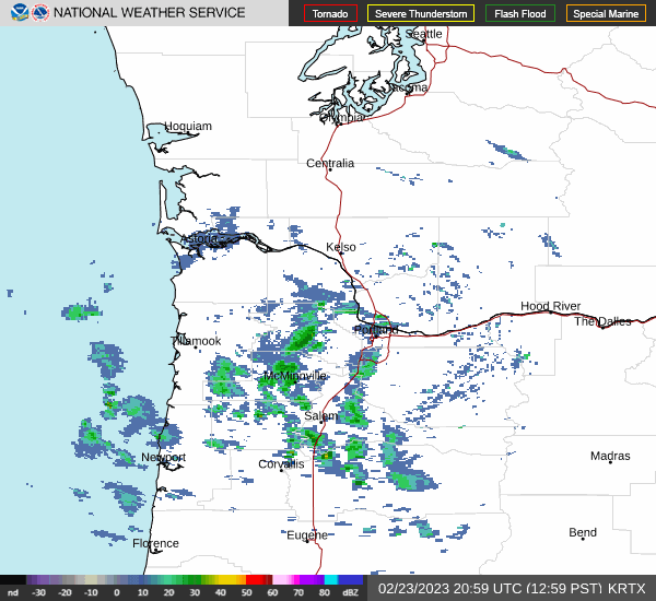
Wonder if these showers will make it up here
-
Still 28 here. Very cold with the wind too.
-
Some decent showers around the Valley it looks like. Maybe one or two will make it here
-
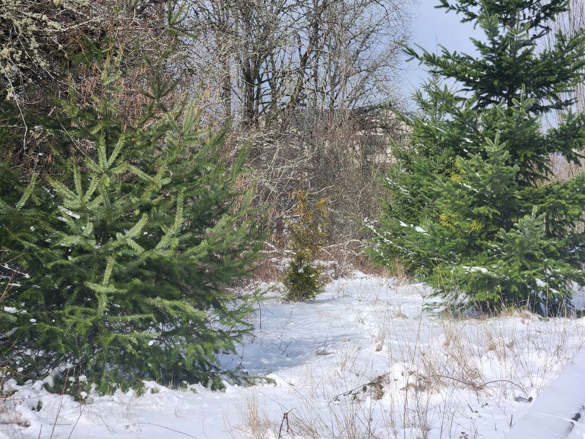
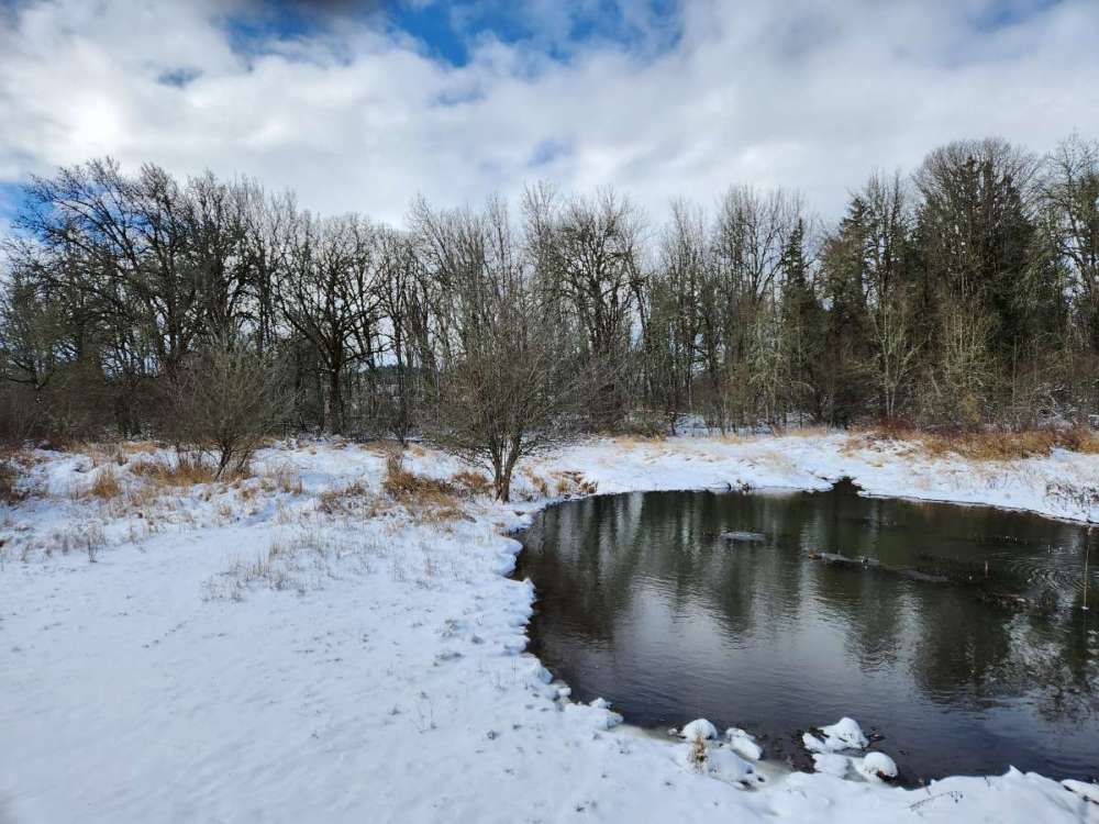
Went on a walk. Almost a ground blizzard at times, wind blew off all the snow from roofs and trees. Very nice outside though with the sun out and temps in the mid 20s.

-
Very cold still
.jpg.c5f81411a8b835267d21375810c4163b.jpg)
-
Looks like we are stuck at 27 or 28 at noon. In late February. Wonder if we can manage a sub-30 high. Looks like a few snow showers potentially
-
What was your final total?
-
At least Mark Nelsen acknowledged that there was real potential for a snowstorm. He even mentioned we could get a January 2017 surprise and clearly communicated that everyone should leave and get home early. The NWS just put out some random percentages in their AFDs