


bishbish777
-
Posts
98 -
Joined
-
Last visited
Everything posted by bishbish777
-
Any minute now we're gonna hear about UKMET verification scores being off the charts...
-
In ICON we believe!!
-
You can see a clear difference between the GFS and the WRF-GFS on upper air temps for this weekend. Here is at 57 hours. WAA seems to be way underdone on the GFS. Doesn't seem like it's doing too good LOL.
-
The GFS just seems really bad in this situation for Fri/Sat. Basically every other model has surface temps at Seattle near 40 at the same time the GFS has them around 33-34. This does not seem close to a snow situation for Puget Sound.
-
Chills at the mouth of the Columbia for a while
-
06Z NAM crushes the entire Puget Sound Friday/Saturday. The track doesn't look too far off from other models...it's not outside the realm of possibility..
-
Was about to post the same thing, LOL
-
To be fair, 00Z GFS is still marginal snow situation for Puget Sound. Low stalls west of Aberdeen for at least 12 hours.
-
Looks like the 00Z GFS finally picked up on what everyone else realized a while ago..
-
Feels like the north trend is inevitable here..haha. Can't remember the last time the Euro trended towards the GFS on a low diving south.
-
Looks like it's gonna end up being just a touch too warm here. 34.5 with cold rain. I think areas at or below freezing should be able to pick up at least 2-3" from this, lots of precip over the next few hours.
-
Good ol' fashioned cold rain here in Wallingford! 37 degrees. Hope things cool down soon..
-
HV3 GFS also significantly more QPF than it's 12Z run. Looks like temps might be the deciding factor for accumulating snow rather than precip. It's 39 here in Wallingford.
-
00Z 3KM NAM is juiciest yet with QPF in Puget Sound with 0.5" QPF. However, it takes a few hours before the switchover from rain to snow so a lot of this does not fall as snow.
-
Don't call it a comeback..
-
Looking at models that came out overnight and currently running, seems like a distinct shift west in the precip for tonight in the Seattle area. Most have us at <.1" QPF.
-
Some of the models are still pretty moist for tomorrow's system, which would theoretically bode well for snow in the lowlands. The UKMET, for example, has .6" of QPF in the Seattle area. And yet, almost none of that is considered "snow" by the model. Part of it is surface temps slightly above freezing. But I was also looking at the WRF-GFS, and there is a distinct warm-nose up the valley. I haven't seem temps discussed much regarding tomorrow's system, but some of the models with higher QPF are not outputting snow, and I wonder if temps are more marginal than we would assume with the current airmass.
-
That would be so sad
-
Are we sure that the Puget Sound area is cold enough for snow for tomorrow night? Some mesoscale models show Seattle near 40°. Upper air temps aren't too impressive either.
-
One thing to add here: it resolves a decent amount of the precip as rain, which seems kinda suspect given the cold in place and offshore flow. Actual precip amounts are higher than the snowfall map would suggest in the PS.
-
https://rapidrefresh.noaa.gov/ I'm not too familiar with it, so others can chime in for sure. My understanding is that, like the HRRR, its a hourly-run model for short-term forecasting. It's lower res than the HRRR, but I believe the RAP is almost like a "parent" model to the HRRR. It might feed some boundary conditions that the HRRR runs off of, I'm not too sure. I like to check it out just to see trends between its runs.
-
21Z RAP looks much better than its own 15Z run as well. 21Z 15Z
-
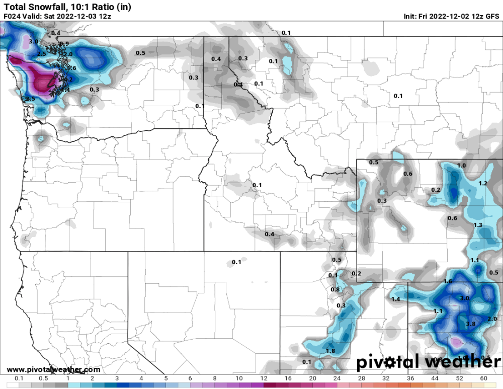
This includes some really light precip from today, but vast majority is from upcoming system.
-
18Z HRDPS is juicy for tomorrow nights system. Gets some heavier precip farther east as well. Hopefully this is a situation where the higher-res models are better distinguishing how far east the precip goes.
-
Doesn't look too good for our area so we can just toss it.


