


Clinton
-
Posts
6558 -
Joined
-
Last visited
-
Days Won
28
Everything posted by Clinton
-
Harder for me to capture the GEFS without picking up on some other systems but it's a hair further south.
-
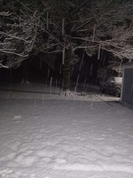
Daylight showing the beautiful sticky snow. Deformation and wind on the way shortly. 20240109_071615.mp4
-
6z Euro Control and Mean 10:1
-
Here we go again
-
Are the winds going to make it to you in time to produce some blizzard conditions?
-
They are going to get buried. @jaster220 is going to get welcomed to his new place properly. Lezak still bullish on snow for KC with this though models don't really agree as of now. But we know how that goes lol.
-
Dry slot over head atm but the deformation band is filling in and moving east.
-

January 2024 Observations and Discussion
Clinton replied to Minny_Weather's topic in East of the Rockies
0z Euro Control has KC tying it's all time record low next Tuesday morning. -
EAXs take this morning Thursday night - Friday: The next storm system will begin to affect the region during this time frame. Initially, it looks like precipitation may develop across Nebraska and northern Kansas as the upper shortwave trough moves into the Four-Corners region. As this wave moves into the Plains, an area of precipitation should develop in the warm advection across southern Missouri and merge with the baroclinic leaf portion of the storm with snow spreading across the entire forecast area Thursday night into Friday morning. Like with the ongoing system, there remains a fair amount of uncertainty with the late week system, both in the potential track and the thermodynamic profile. The ECMWF is farther northwest with the system at this point and this shows in both the probabilities of exceeding 3" snowfall and the probability of having a warm nose affecting southeast portions of the forecast. Both the ECMWF and GFS ensembles show 20%+ probabilities for 850mb temperatures to be at or above freezing at the onset of precipitation. The ECMWF being farther northwest than the GFS. And this once again will likely sit across the KC area adding huge uncertainty to the precipitation type and snowfall amounts.
-
EAX showing an addition 2 - 3 inches in line with the RAP. The wind will be rocking soon.
-
Waking up to some big fatties falling with about 3 inches on the ground atm. Kiddos are going to have a snowman building kind of day. I'm going to take the dogs out for a walk and enjoy it, currently 32 degrees.
-
I read in the AFD that ratios tomorrow morning will run around 15:1
-
January 2024 Observations and Discussion
Clinton replied to Minny_Weather's topic in East of the Rockies
Here's some cold. -
18z Euro Control and Mean
-
0z HRRR
-
That will make for some serious cold up there. Local met has us with a high of 7 on Sunday.
-
The NAM is having a tough time to say the least. Hopefully it will suck a little less this time.
-
Looks like a heavy band is setting up on I-35 between Wichita and KC. Where have we seen that before.
-
This has a wild storm to track even the weather service offices seem to be behind atm. Good luck I hope you guys can get 6+ out of this.
-
That dry slot I bet has eyes for me. I hope the deformation band delivers I think you will do very well.
-
Can we just keep it right here lol.
-
21z HRRR
-
Just saw that thundersnow was being reported west of Wichita, I have 2.5 inches on the ground and I am shocked at how quickly it accumulated on the roads given it was 43 at 8am at my place. Lots of melting going on with warm surface and temps right at freezing. I feel lucky the rain/snow line is only about 40 miles south of my place.
-
From my counties ems URGENT JCEMA Alert:Due to current weather conditions, we urge all to avoid traveling if possible. Roads conditions are worsening as well as an increase in
-
Easily an inch on the ground. Snow sticking to the roads which surprised me. Absolutely puking snow atm.


