Hoosier
-
Posts
1479 -
Joined
-
Last visited


Hoosier's Achievements
")


-
Will be interesting to see how much life this ends up having, or if anything else that Vance has said comes to light. VP choice usually doesn't really matter, but it seems like he could be putting that to the test lol
-
One thing I think we can all agree on is that it would be nice to get quick election results one way or another (might be wishful thinking). Trump will probably claim it was rigged in any scenario that involves him losing, but when it takes days and days to count all the votes it just further feeds into the perception of shenanigans.
-
Besides the last couple days before the election, there's 3 time periods I'm most interested in. The next week or so The days right after the DNC The days right after a possible Trump sentencing in September. Could also include post-debate(s) but that is an unknown especially as far as timing.
-
The question I have is what is Harris' ceiling? Are these polls close to it or is there room to grow more.
-
We need a poll. What's your favorite Kamala. kamala.cod.edu or Kamala Harris
-
The more I've thought about it, the more it makes sense for Harris to pick Kelly as her vp. He fits the safe white guy profile and from what I've seen of him, he has a way of getting his point across and being critical without rolling around in the mud. He would bring a certain kind of machismo with his background as former military and astronaut. I think he still owns and uses guns, even after his wife was shot and injured pretty badly, and because of that he could be an effective messenger on sensible gun reform. Even though people don't tend to base their vote on who the vp is, he would round out that ticket as the "cool" ticket. And who knows, maybe he could put Arizona more in play. He doesn't actually have any governing experience, but not sure how much of a consideration that will be. Maybe she'll go with somebody else in the end. I may be wrong and I have nothing to back up the following statement, but I doubt she will pick Shapiro because I think she will be concerned about turning off some of her potential voters by putting a Jewish person on the ticket (despite her husband being Jewish and someone who could influence her thoughts/decisions, but I digress)
-
There's a lot of excitement among the Dem base now. Hard to deny that. Of course you need more than your base to win.
-
I almost wonder if this truncated campaign for Kamala plays to her benefit instead of having to run a long, drawn out campaign. It may not be the most ideal from a logistical standpoint, but there's a lot of excitement behind her and hell, early voting is only a matter of weeks away.
-
Gotta differentiate from Biden, but not too much. Can't completely run away. One thing she has to be ready for is questions about Israel/Gaza. If a question comes up in a debate or somewhere else along the lines of "how, if at all, would your policy toward Israel be different from Biden", she has to be ready with a thoughtful answer.
-
I don't necessarily disagree with your last sentence, but that doesn't mean he's an uncharismatic person overall. Sort of subjective anyway and not really worth arguing about.
-
Uncharismatic challenger... really? Trump has a lot of charisma whether anybody likes him or not.
-
Yeah, that's kinda sad.
-
With all that has been going on, imagine how triggered Trump would be if Taylor Swift comes out and endorses Kamala.
-
Agree with that. Republicans shouldn't want Biden to resign now. But Biden won't resign in all likelihood, barring a catastrophic health event.
-
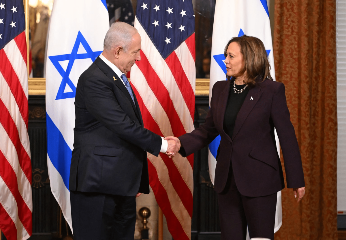
Some of the crazier pro-Hamas protesters might not like this image. But dialogue is rarely a bad thing. This could be a tricky issue for her. If she gets too cozy to Israel, it's gonna eat into some of her enthusiasm from younger voters.