Kayla
-
Posts
5926 -
Joined
-
Last visited
-
Days Won
14
Everything posted by Kayla
-
 Kinda? Is the liquid falling from the sky half frozen?
 -
Agreed. It's really nice to have the GEM closer to the euro camp than the GFS at this time. The 00z euro ensembles continued to look really great which helps to inspire confidence of at least a blend of the GEM/ECMWF.
-
Yeah must be it would seem. Would be a huge surprise to everyone if they ended up picking up 1-2" later today into tonight.
-
That's what it says at least... Hard to believe honestly.
-
After you said that I just realized that they actually have a late morning high of 32 tomorrow then temps drop down to 29 by 4pm. Maybe a bit more believable?
-
Definitely a good theory. Really surprised to see it showing the moisture stick around into tomorrow and it's the first and only model showing it right now. I guess we'll see! How much snow do you have in Missoula currently?
-
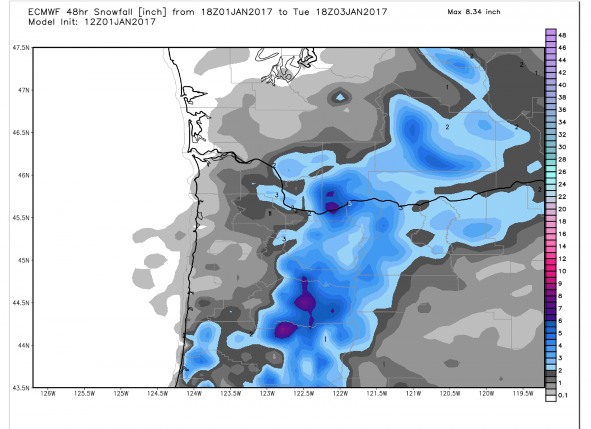
12z euro continues to be very chilly in the lower levels this upcoming week. Next 4 days at PDX - 29/26 27/21 27/18 29/16
-
Still shows a lot from now through tomorrow for you still as well.
-
True but it's still very generous from now into tomorrow for you guys north of the Columbia especially. Moisture just keeps sticking around and is VERY slow to sink south.
-
Yeah Jesse, BLI and Dewey might be in a great spot as well.
-
Euro looks pretty generous for wrap around moisture over the PDX area this afternoon FWIW. Edit - Wow, actually keeps the precip going well into tomorrow now... The plot thickens!
-
Continues to just dump snow here with really weak radar returns. Over 6" now. Must be some sort of orographic lift going on right along the west hills currently as the low slides right over me.
-
Beautiful!
-
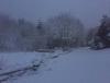
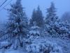
He did great for elevations below 700' but he was only calling for about 1" of snow for the west hills. See pics for end results!
-
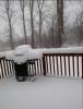
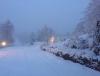
Beautiful start to 2017 here in the West Hills! Just measured and I have picked up 5" so far and looks like I might pick up another inch or so before everything is said and done. Looking forward to see how cold my temps can get now with solid snow cover going into this week!
-
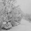
Getting heavy snow here currently and have about 4-5" of accumulations so far! System has had way more moisture than modeled. Feel for those that have only seen mainly rain through all this moisture we have gotten already.
-
Wow!!
-
Still worlds different as well.
-
Yeah my guess is somewhere in the 100' - 600' column above you is above freezing. Need the southerly gradient to relax.
-
925's are at -1c right now. I've had all snow today and currently have 2" of snow so far at 1,000' just to your east. Upper levels are not your problem, it's the near surface temps. You're getting radiational cooling now but the air just above you is still just above freezing which mixes down under the showers. That should change in the next couple of hours.
-
Nice to see a GFS run trend on the cooler side so far for once...
-
Still only a 27/18 day on Saturday at PDX. Just the complete opposite from the GFS.
-
Seriously, what is happening?? Low of 16 now being shown on the euro for PDX on Friday while the GFS shows lows above freezing!
-
850mb temps back down to -11c at hour 102 as well.
-
just got real