-
Who's Online 2 Members, 0 Anonymous, 133 Guests (See full list)
-
Activity Stream
-
4472
March 2026 Weather in the PNW
Would need the trough to be a bit deeper and slower to get an April 2008 event. But any snow this late is rare.- 1
-

-
4472
March 2026 Weather in the PNW
Considering the flow will be northerly by Sunday night, that CZ will not linger up in Snohomish or Skagit like it usually does. It would be more inclined to hang around I-90 and maybe even drop south at some point. Will be interesting to track as we get closer I guess.- 1
-
-
4472
March 2026 Weather in the PNW
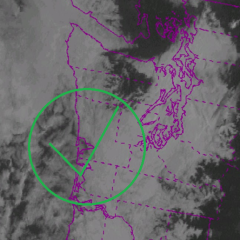
Convergence zone with marginally cold 850s (-7C anomaly) and below freezing 925s. Even light-moderate rates will probably be good enough to bring wet snow to the surface.- 1
-
-
4472
-
708
March 2026 Observations & Discussion
Yes, drought tends to favor somewhat more robust elevated mixed layers.
-