gabel23
-
Posts
2304 -
Joined
-
Last visited
-
Days Won
5


gabel23's Achievements
")


-
 Central Nebraska tornado that happened around 1:30 today. This was around Elba.
 -
Lincoln to Omaha tornado. Damage being done in Elkorn.
-
I believe this is the tornado that started at Eppley.
-
Historic day for sure. We had a single supercell storm start off in Central Nebraska early afternoon; it produced a major wedge and from there things went bananas. Omaha saw a huge wedge come up from Lincoln and then had an additional cell pop up and drop a tornado on Eppley Airfield. Both supercells then went into Iowa and are still producing major tornadoes.
-
Nothing to be proud of but this could be a record breaker. Seeing some of the damage footage it for sure looks like EF4 damage at least.
-
I don't get KETV from my area so went online and was watching Bill. It touched down during the live broadcast; just a crazy day here in Nebraska.
-
Nothing here, there was a tornado 15 miles west of me that I tried to catch up too but just missed it. Not a good day for Nebraska; those from Lincoln, Waterloo, Elkorn and then into Iowa saw significant damage. Just a massive prolific supercell that left its mark on the state. I pray for those that were in the path.
-
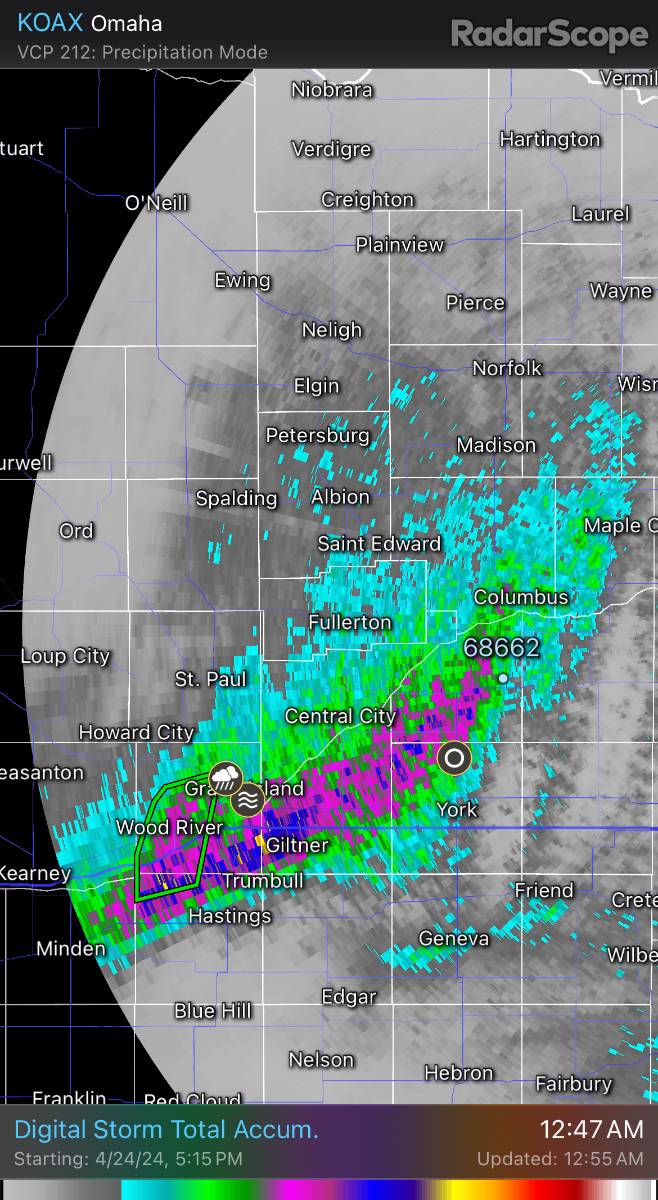
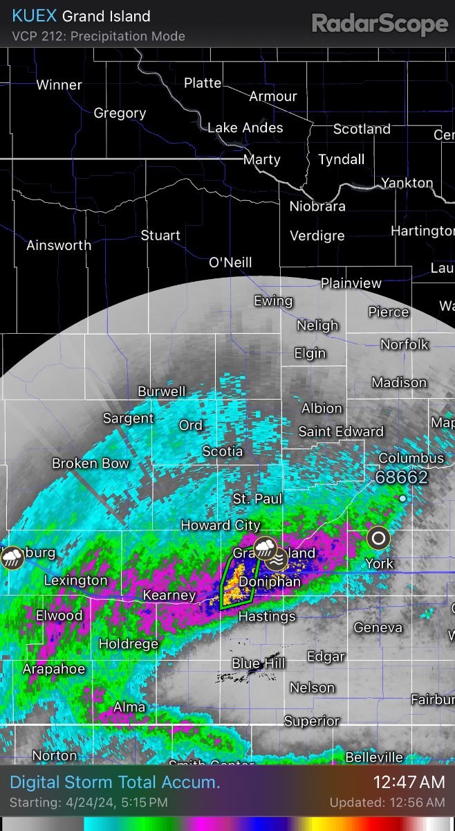
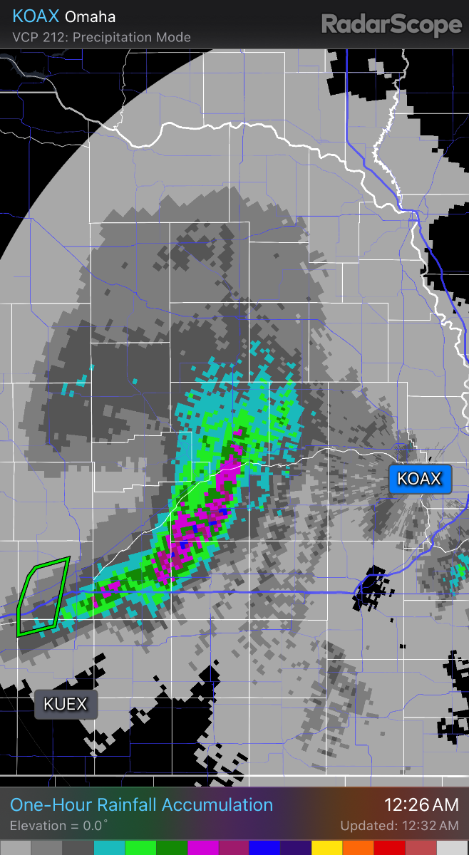
Both these models done a really good job of picking up on the heavy band of rain tonight, almost spot on. Going right through my area, I thought we would get dry slotted tonight! I’m closing on 2 inches!
-
Rocking and non severe, the perfect combo!
-
What an awesome rain and wow grass is looking good! Hoping things continue to build and make its way to the river.
-
Yeah it’s looking like we will continue being the bullseye for low pressure systems and dry slot us. So frustrating.
-
Yes please! Glad to see both EURO and GFS showing a wet pattern upcoming.