-
Who's Online 7 Members, 0 Anonymous, 117 Guests (See full list)
-
Activity Stream
-
375
July 2026 Observations & Discussions
Despite our hot start to July we have turned much cooler over the last 10 days, which has brought us all the way back to average temperatures so far for the month of July. Today looks to be the most impactful day with flash flood threats although as many of you know much of Northern Chesco has not seen as much beneficial rains as the rest of the area. Shower chances will continue but not a wash out by any means through Thursday. We finally dry out on Friday with sun returning both Friday and Saturday.- 1
-

-
2385
July 2026 PNW Weather
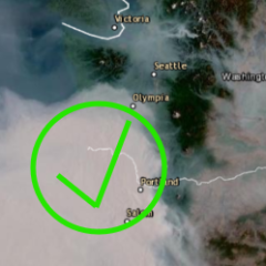
We've been so lucky so far this season. Overall air quality is great West of the Cascades and for the most part has improved east in most areas outside of the hot spots. Air quality should remain clean for the foreseeable future. No signs of offshore flow through the rest of the week. We've really had a classic PNW summer for much of the region. Onshore flow, cooler temps, and a nice bit of rain showers nearly every week. It's keeping the smoke away from the Pacific Coast, and so far no signs of that smoke going out into the Pacific then wrapping back in on us. Splendid so far and fingers crossed it remains that way. -
2385
July 2026 PNW Weather
Fantabulous for smoke creation though! Lots of yummy thermal energy for those fires out east to eat away at -
2385
-
2385
July 2026 PNW Weather
A big RARE over performance for Everett today. Blindsided. Did not expect it. Forecasted to be 75F. We hit 80F. A big 8-0. Surprising in all honesty. We usually underperform the forecasts nearly every day.- 1
-
-
(002).thumb.png.d78828eaea929356c7b2669997f38a8a.png)