-
Who's Online 14 Members, 1 Anonymous, 1537 Guests (See full list)
-
Activity Stream
-
895
August 2026 PNW Weather
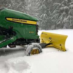
Still great at my place! Not so good at one of my home away from home’s, though. -
895
August 2026 PNW Weather
In all seriousness, Salem is the most due for a major snowstorm followed by Eugene. Tiger deserves it after having more ice than snow at leasf from 2022-2024 (possibly longer) -
895
-
895
-
895
August 2026 PNW Weather
I can't say I really understand the forecasting for wildfire smoke in the Puget Sound right now. They are claiming it is going to be unhealthy and moderate air in the Puget Sound today, but as we can see, everything is in the green. There is NO SIGN of smoke coming from Eastern Washington or north from Canada. They claim it will be moderate air conditions with smoke till Sunday. I am not seeing it. I am calling a false forecast here, at least for today and tomorrow. We still have onshore wind conditions and it hasn't changed. I think we will all remain green West of the Cascades with only Whatcom County's eastern fringed possibly seeing moderate conditions. Eastern Washington appears to be accurate as southern winds will pull smoke from Canada into the region the next few days. There is no offshore flow expected transit it west. Also noticed the Washington Smoke Detection Center has broken up the state into more regions to better showcase smoke conditions instead of having it just be organized by entire counties. It never made sense if smoke is on the eastern side of a county, that the whole county would get moderate conditions.
-