All Activity
- Past hour
-

May 2024 Pacific Northwest Weather
BLI snowman replied to snow_wizard's topic in West of the Rockies
Having actual Pacific energy to work with and a fairly progressive wave train rather than big omega block type patterns setting up shop for weeks at a time has been the key. -
I mean, technically yes.
-

May 2024 Pacific Northwest Weather
LowerGarfield replied to snow_wizard's topic in West of the Rockies
My son has a 5k, his first at the end of June in the mountains. I told him if it's as hot as it was in 2021 or smokey, we probably will not attend. - Today
-
People die during major arctic blasts as well…Unfortunately it happens at both extremes all around the world.
-
 May 26 high: 70 F 2024 average high for Downtown LA as of May 26: 70.23 F Average high for remainder of May 2024 required to tie last May: 67.40 F Average high for remainder of May 2024 required to average 70 F for the high: 68.80 F
 -

May 2024 Observations and Discussion
CentralNebWeather replied to Tom's topic in East of the Rockies
Gorgeous skies post storm. IMG_2133.mov -
May 2024 Observations and Discussion
CentralNebWeather replied to Tom's topic in East of the Rockies
8:28 pm, just prior to the storm, at the Prairie Home Cemetery just east of Holdrege Nebraska.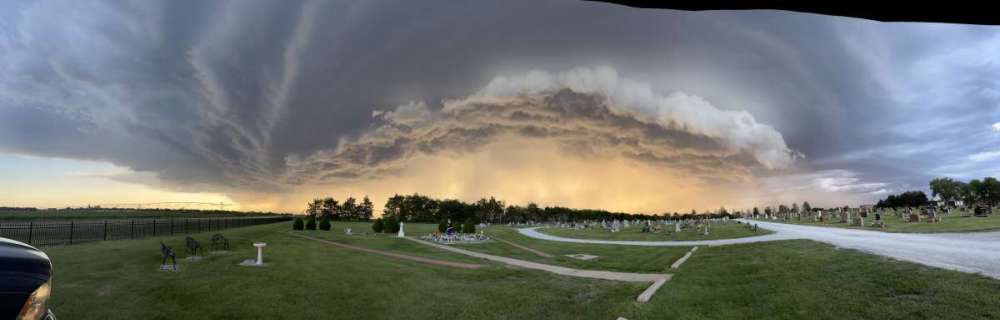
-
May 2024 Observations and Discussion
CentralNebWeather replied to Tom's topic in East of the Rockies
Another day, another storm. Looks like close to 0.50” in 15 minutes this evening. IMG_2129.mov -

May 2024 Pacific Northwest Weather
Meatyorologist replied to snow_wizard's topic in West of the Rockies
We won't talk about this family friendly +PNA pattern though. Such wholesomeness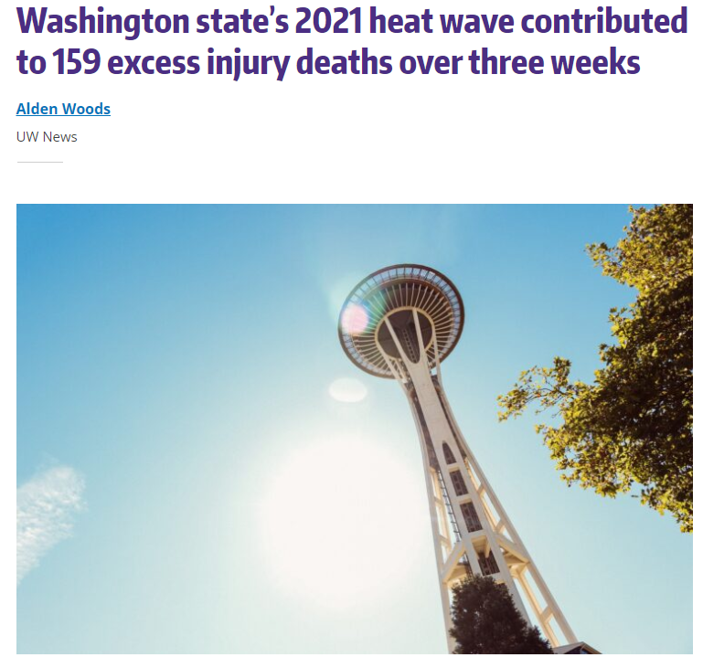
-
May 2024 Pacific Northwest Weather
Meatyorologist replied to snow_wizard's topic in West of the Rockies
So let's get this straight. Rooting for La Niña is now ALSO rooting for: -Accelerated global warming -Ruined holiday plans -People in the midwest getting gored by flying ejecta The propaganda runs deep here! -
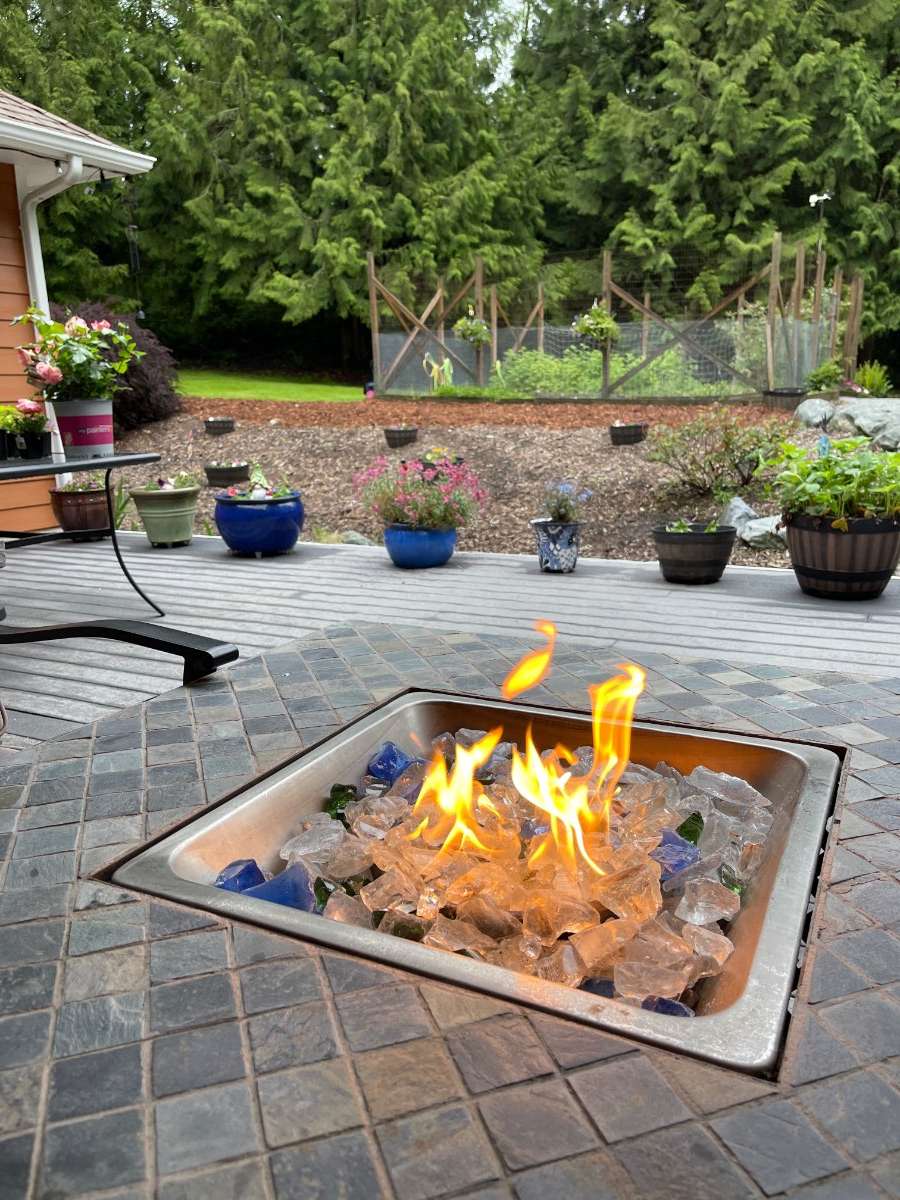
The deck is finally drying out a bit! .30” on the day.

-
Yeah the burst swaths in some of these can be narrow. It’s the norm to have significant damage in one place but almost nothing just a block away.
-

May 2024 Pacific Northwest Weather
Timmy Supercell replied to snow_wizard's topic in West of the Rockies
I noticed it went tornadic somewhere in WV after passing through here.. The wind wasn't more than 35mph here but much higher just to our north. -
That MCS is hauling a**. Already just 50 miles from here and warned for 70mph winds and a possible tornado. Should weaken as it outruns the better forcing but it’s been resilient, tracked over 1000 miles already.
-
True that. Western troughing literally kills people at this time of year. And in the most gruesome of ways. Though I think it’ll be more of a temporary reprieve than anything. Sometime between 6/15-20 we’ll probably transition back to -PNA as MJO return to E-Hem and western ridge retrogrades back offshore.
-
The middle of the country will be just as happy as people in the PNW when the pattern finally changes.
-
Yeah reminiscent of 2008 or 2011 in that respect. Old school. Recent niña like springs haven’t had the favorable pattern like this year.
-
May 2024 Pacific Northwest Weather
Timmy Supercell replied to snow_wizard's topic in West of the Rockies
Moderate Risks are sort of common this year. -

May 2024 Pacific Northwest Weather
Rubus Leucodermis replied to snow_wizard's topic in West of the Rockies
Max of 54.1˚F IMBY today, with on and off (mostly on) rain. Sitting at 0.71" for the day and 2.91" for the month. - Yesterday
-
May 2024 Pacific Northwest Weather
BLI snowman replied to snow_wizard's topic in West of the Rockies
Another day, another tornado outbreak.... -
Tomorrow won't be +5 on the high around Seattle. Climo if we are lucky.
-

May 2024 Pacific Northwest Weather
Sunriver Snow Zone replied to snow_wizard's topic in West of the Rockies
Absolutely stunner out there today, perfect spring day. Topped at 73 which feels like 90 after spending a couple weeks in the extreme cold and wind at Denali, just 5 days ago I was out in the -30s with gusts in the 80s. Looking forward to more days like this! -
Still lots of junk over Oxnard
-
Not always, no. Think about how averages work. The average daily high is the absolute maximum over a 24hr period. The average temp at 00z is only that snapshot in time. So days with midnight highs (or earlier highs, etc) would have a lower temperature at 00z. The entire average is lower because the 24hr maximum doesn’t always occur at 00z.
-
This is wrong. 5 p.m. is usually the high. Stupid.